Ireland Road Trip - January 2025
December 30, 2024 – January 16, 2025 • 17 days
A 17-day journey
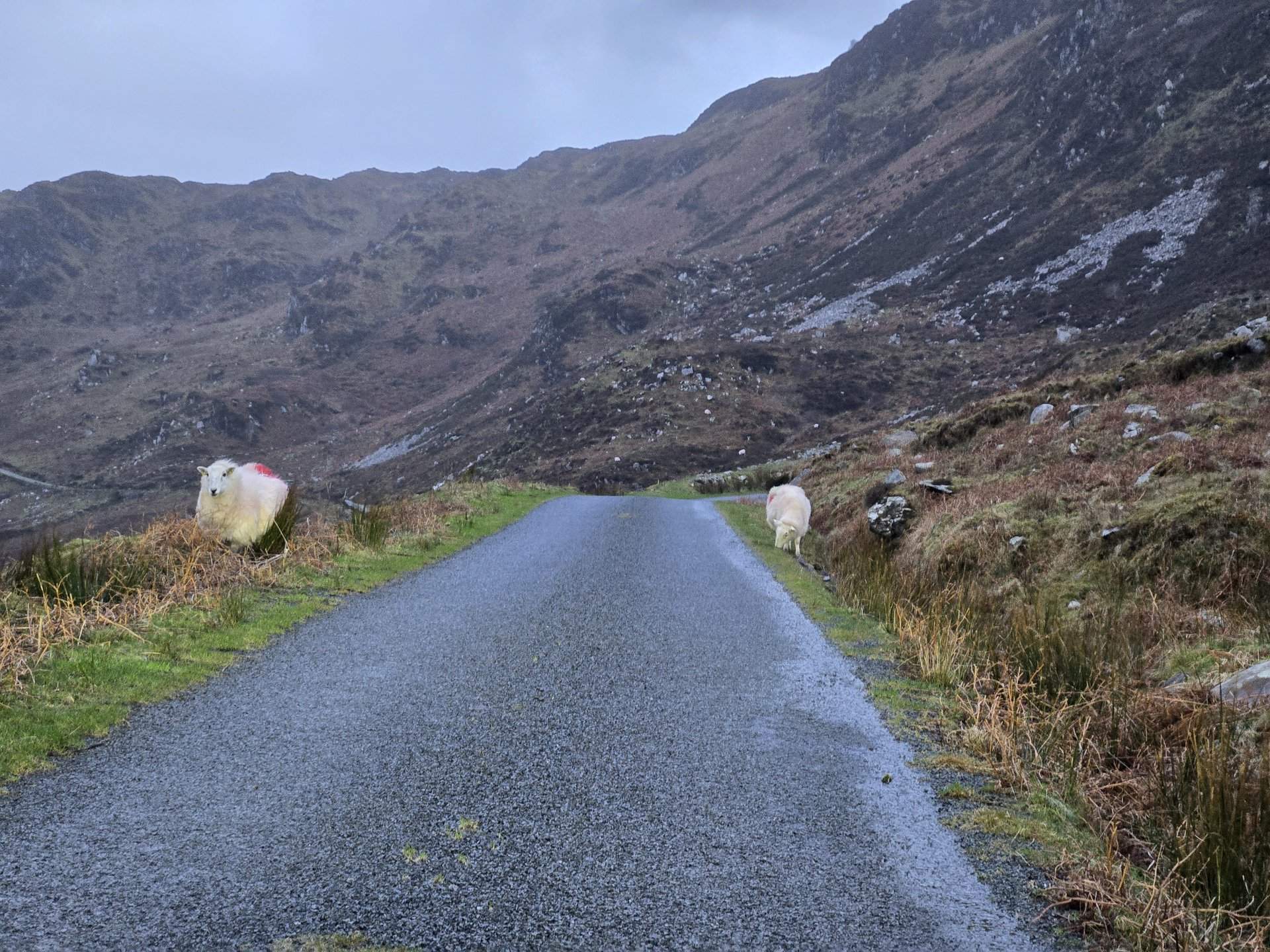
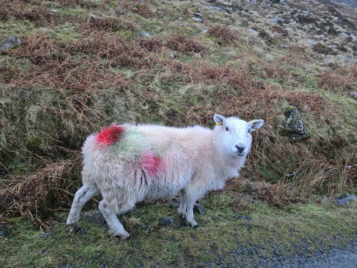
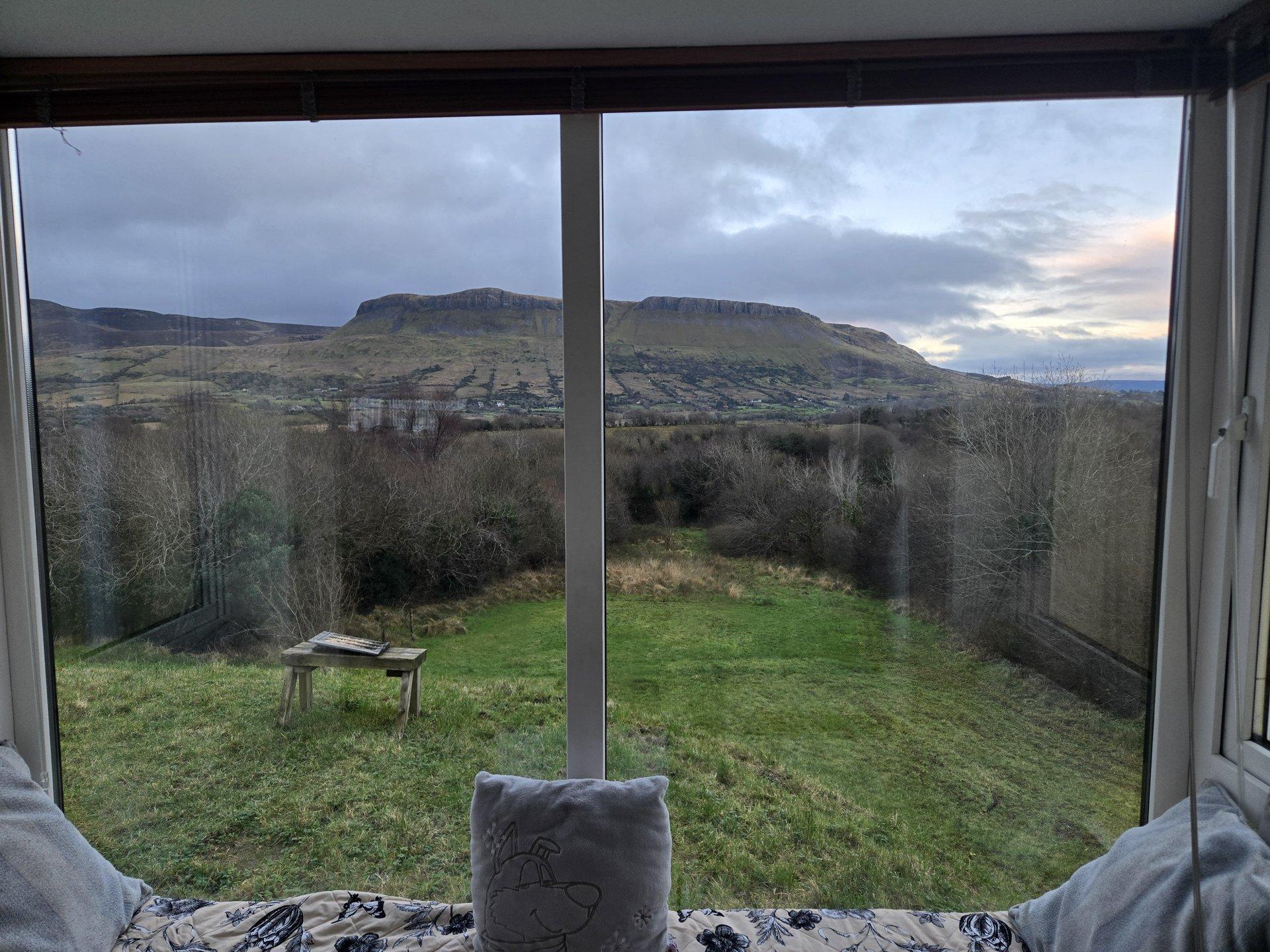
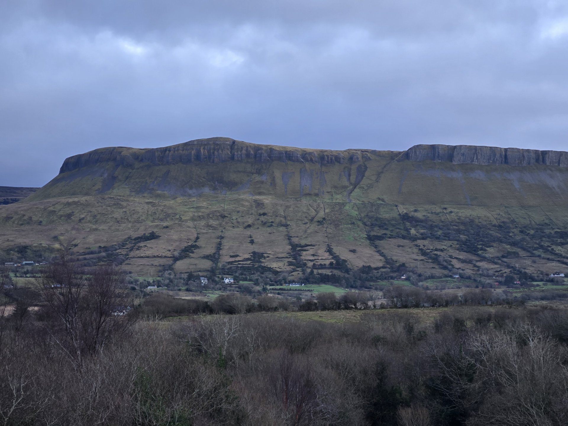
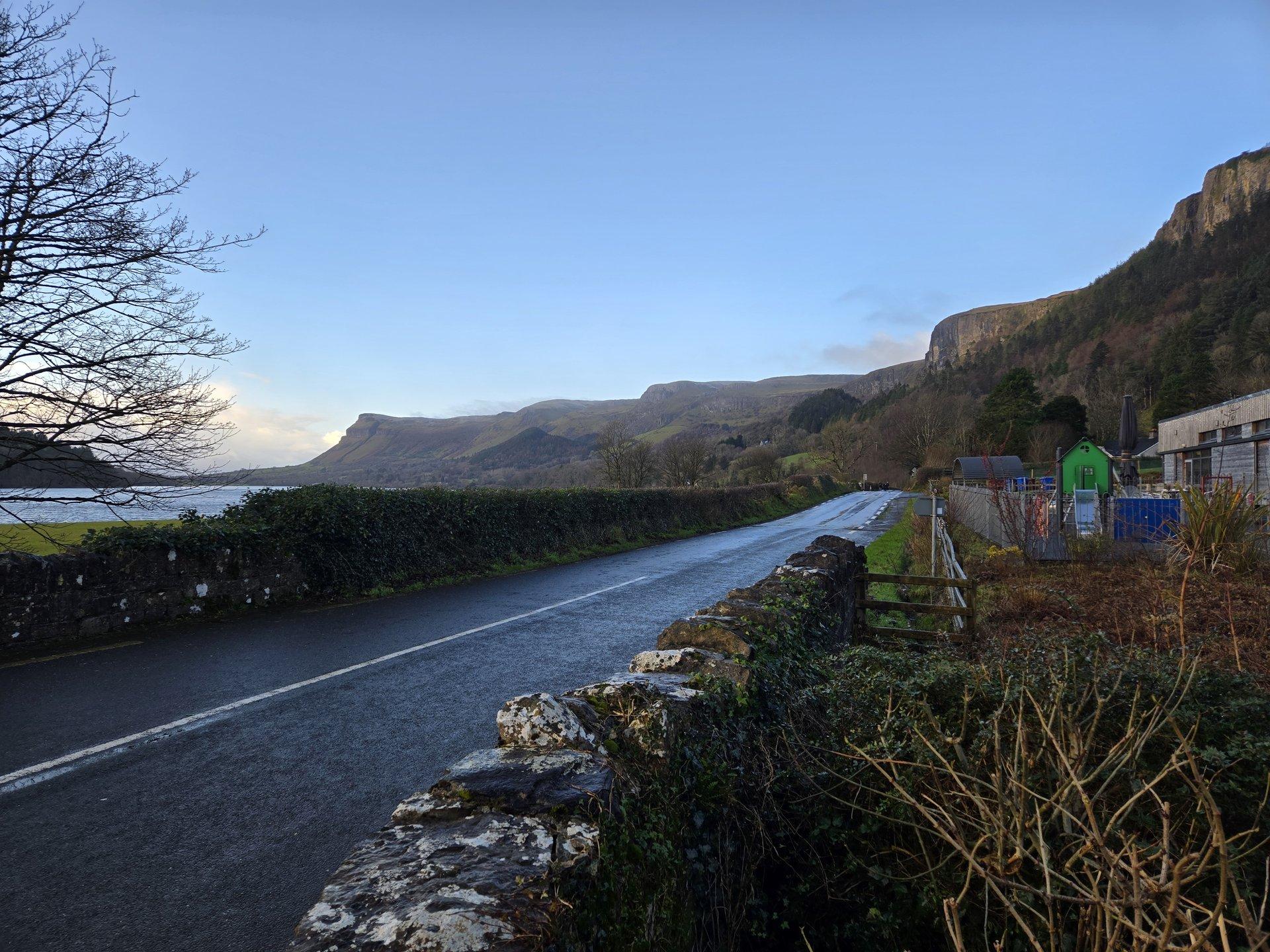
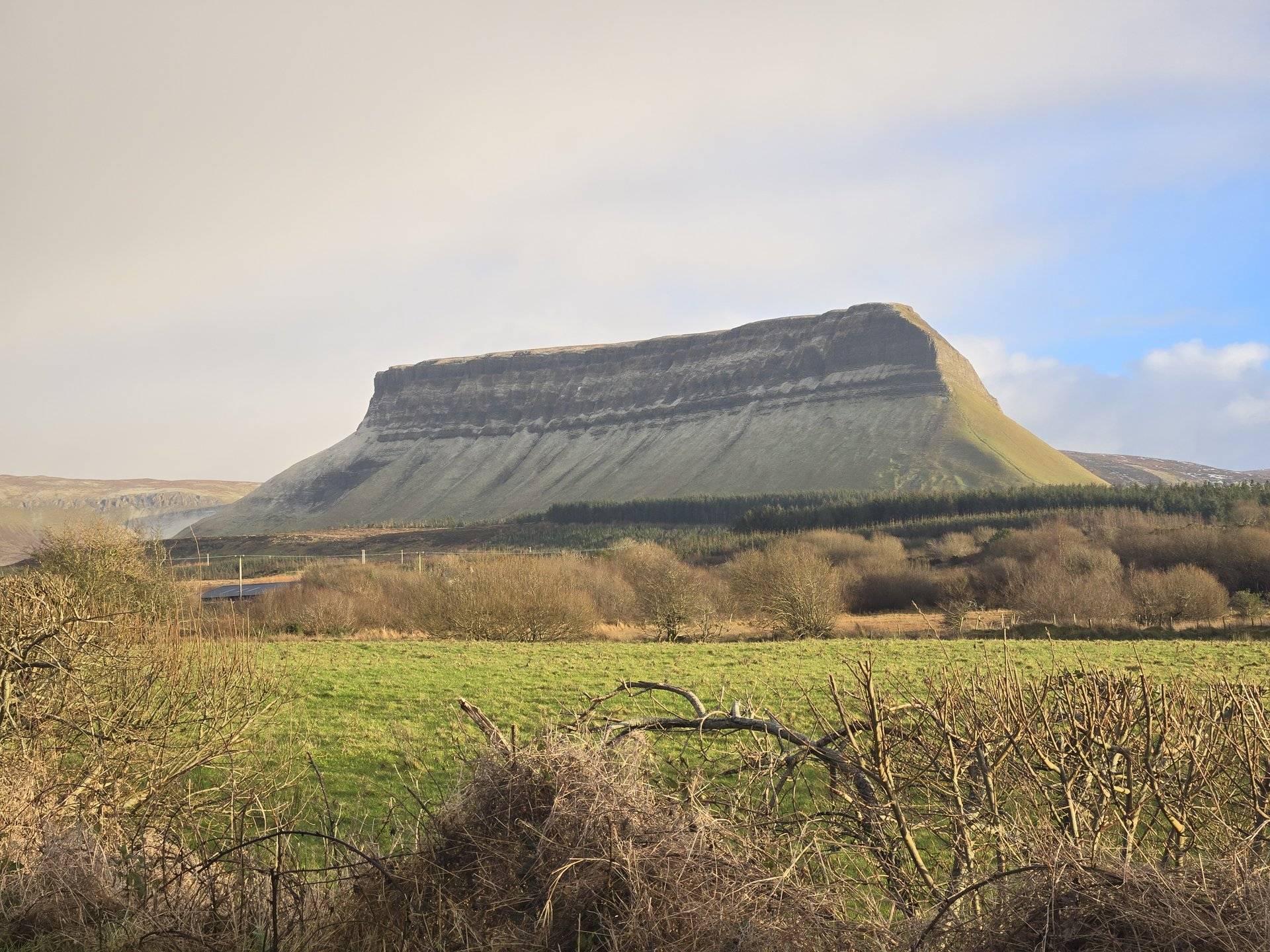
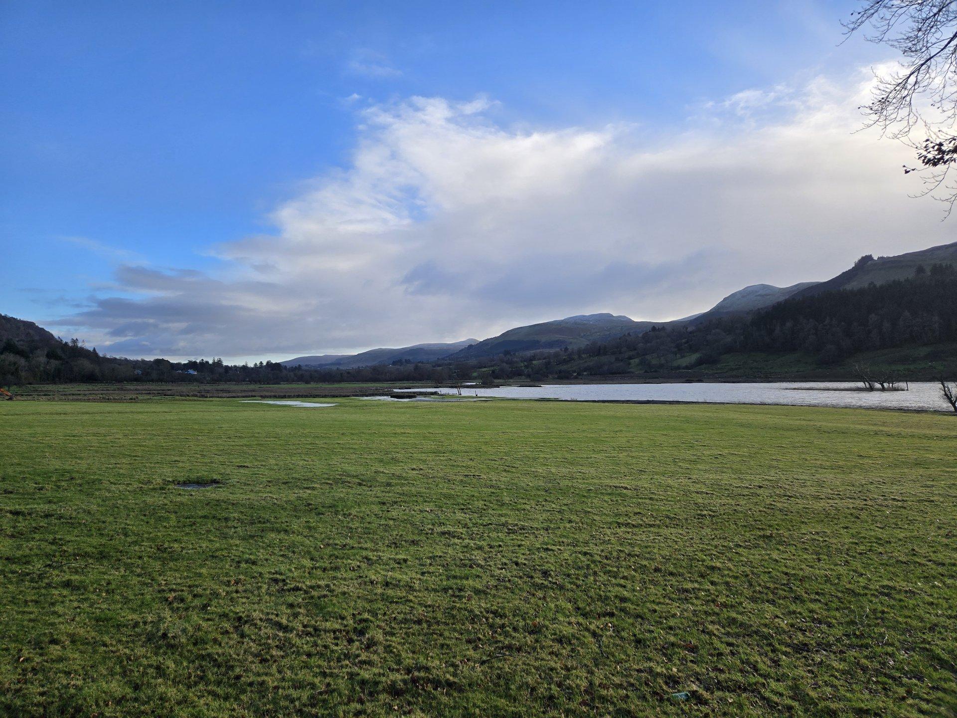
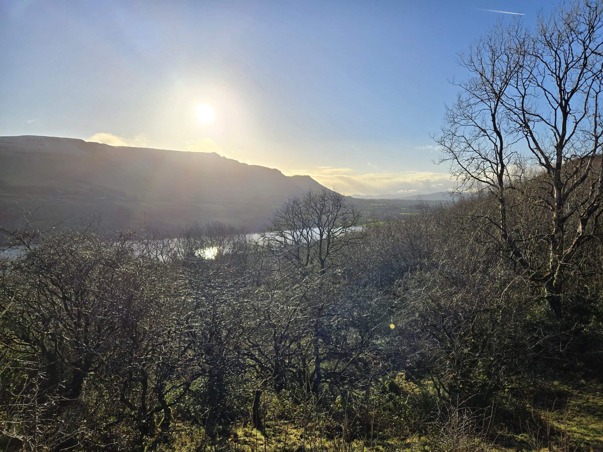
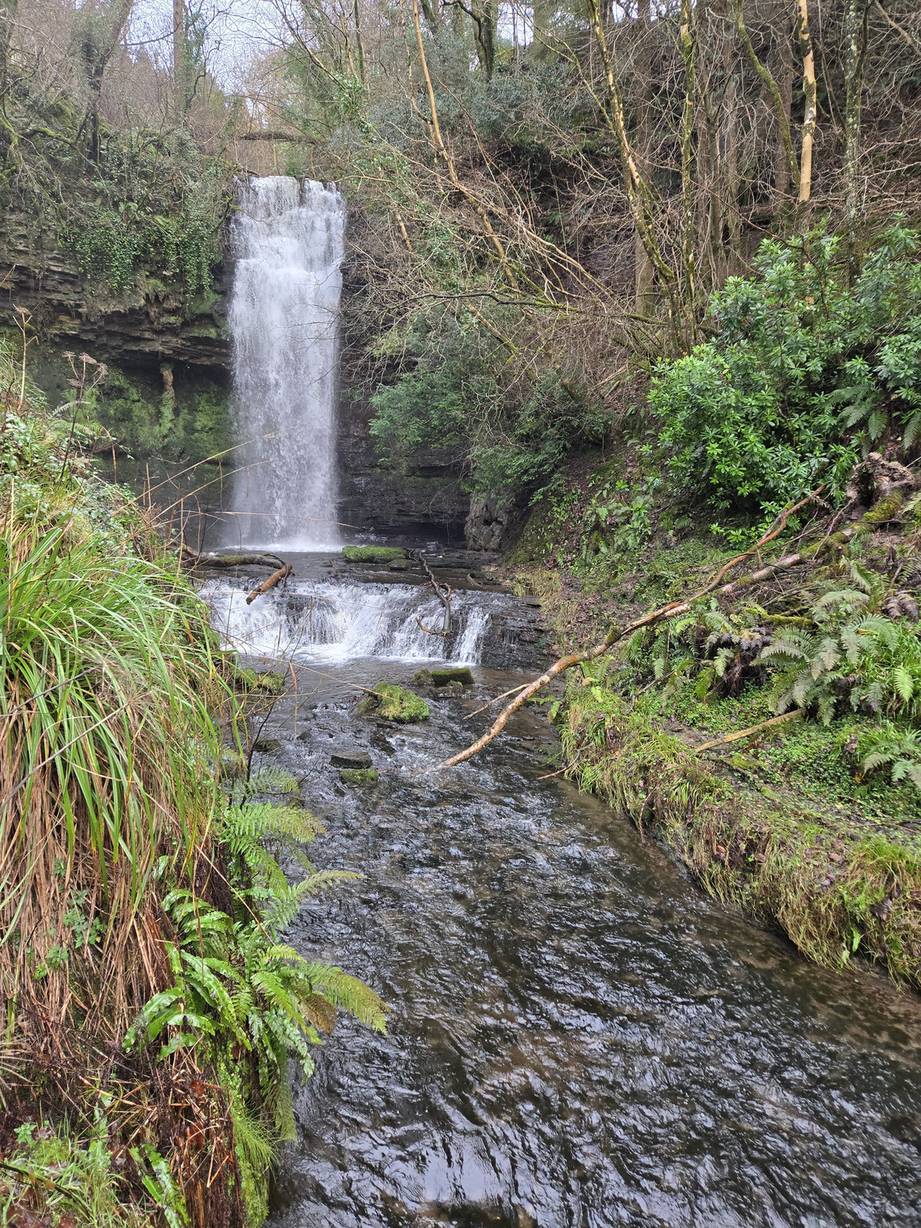
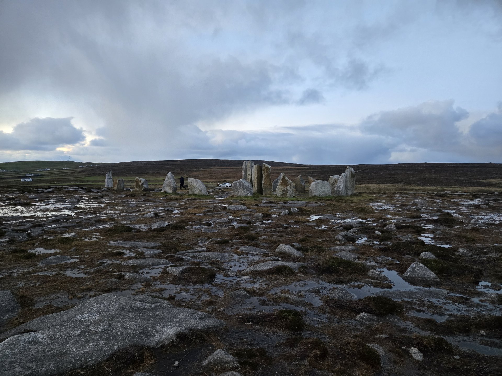
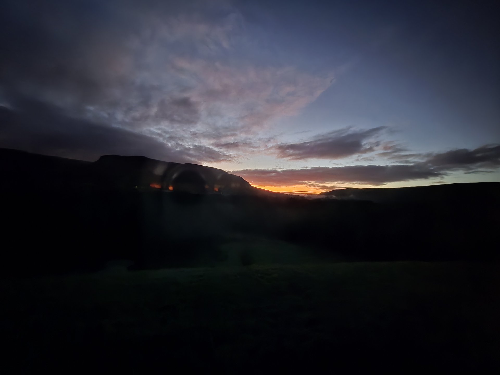
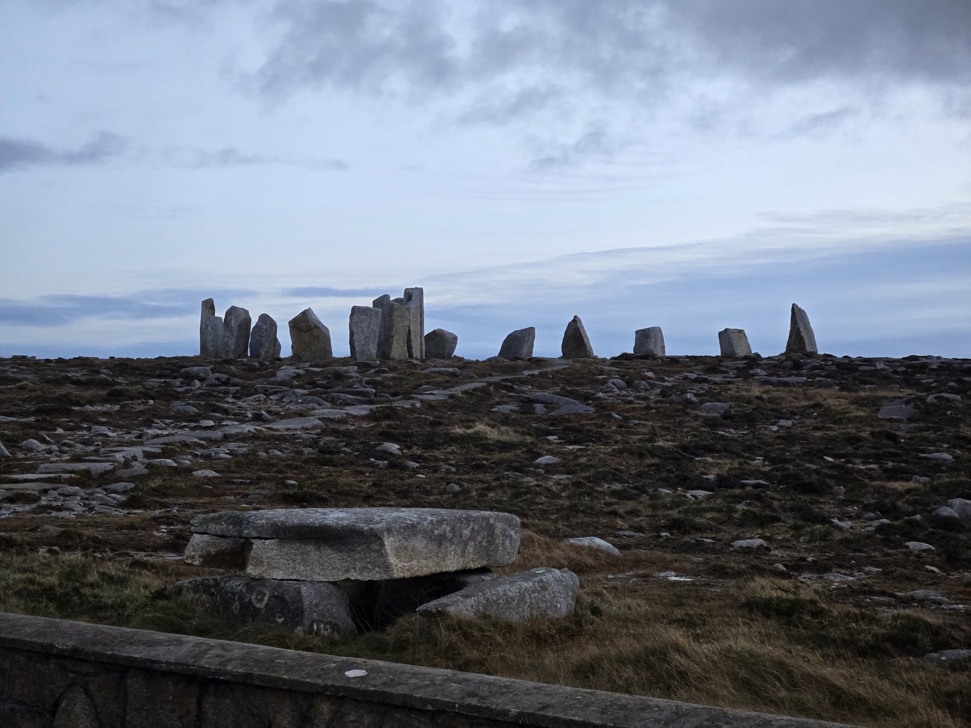
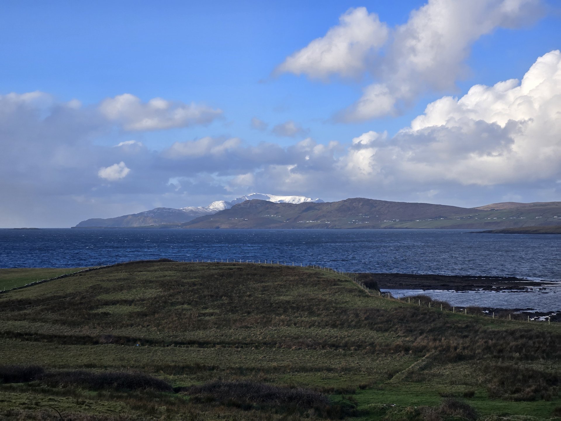
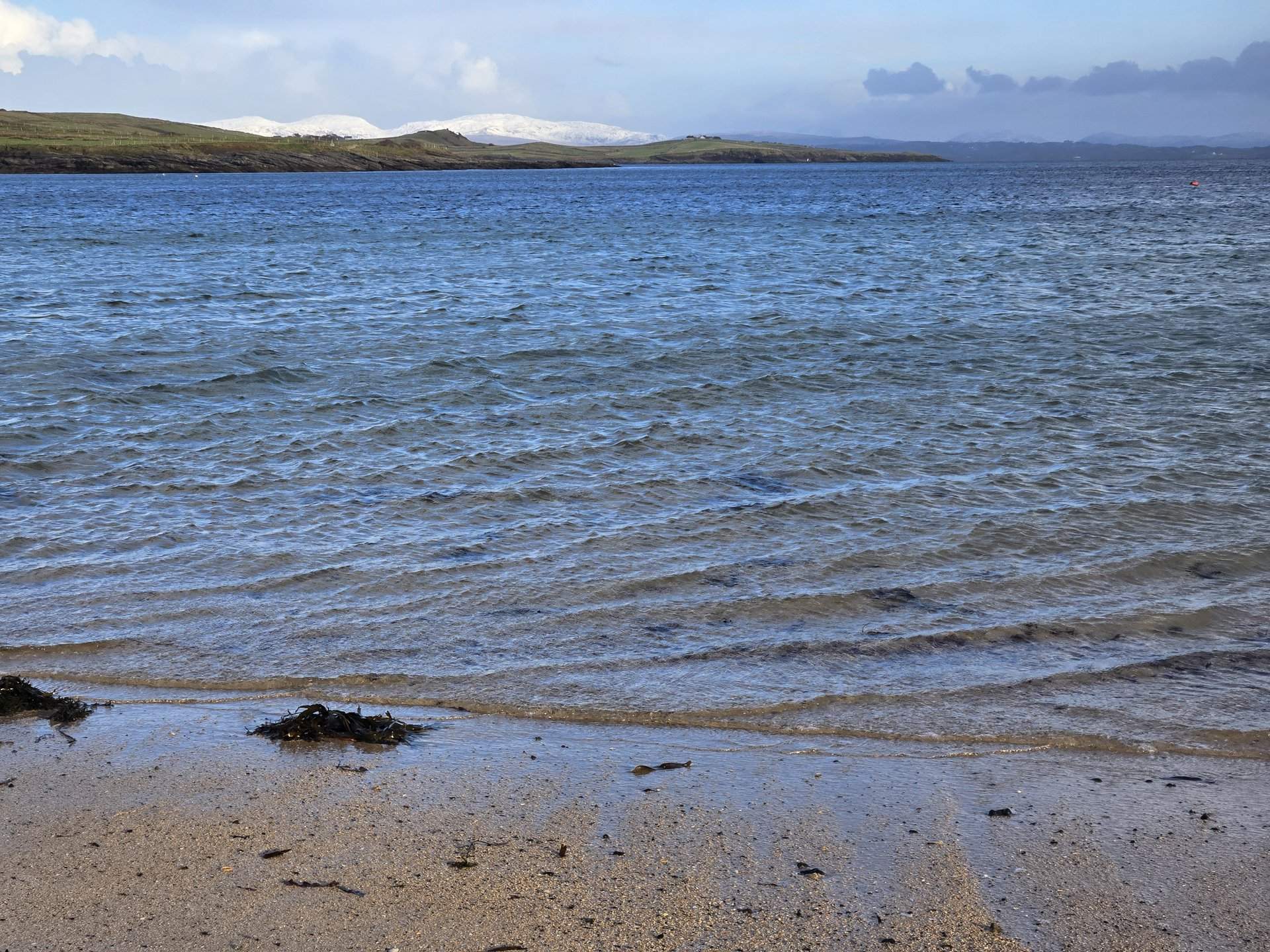
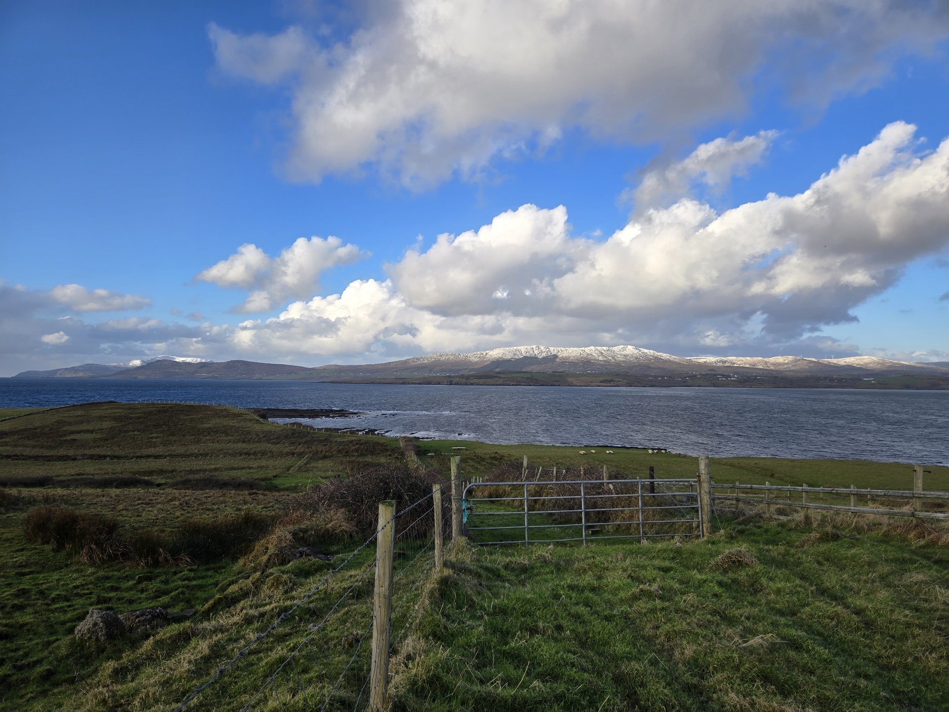
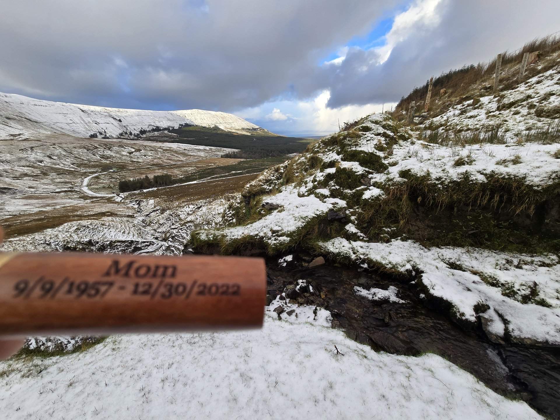
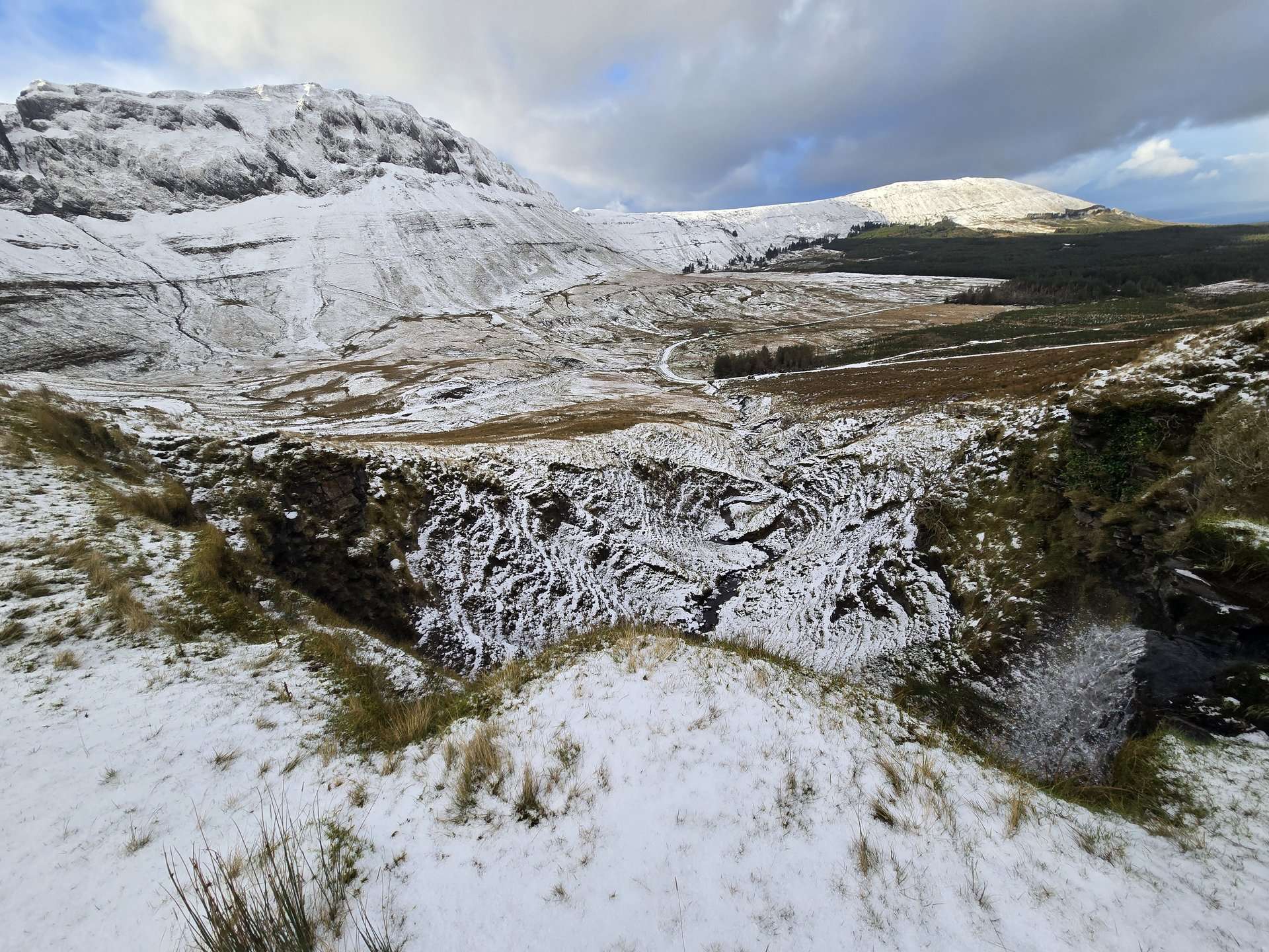
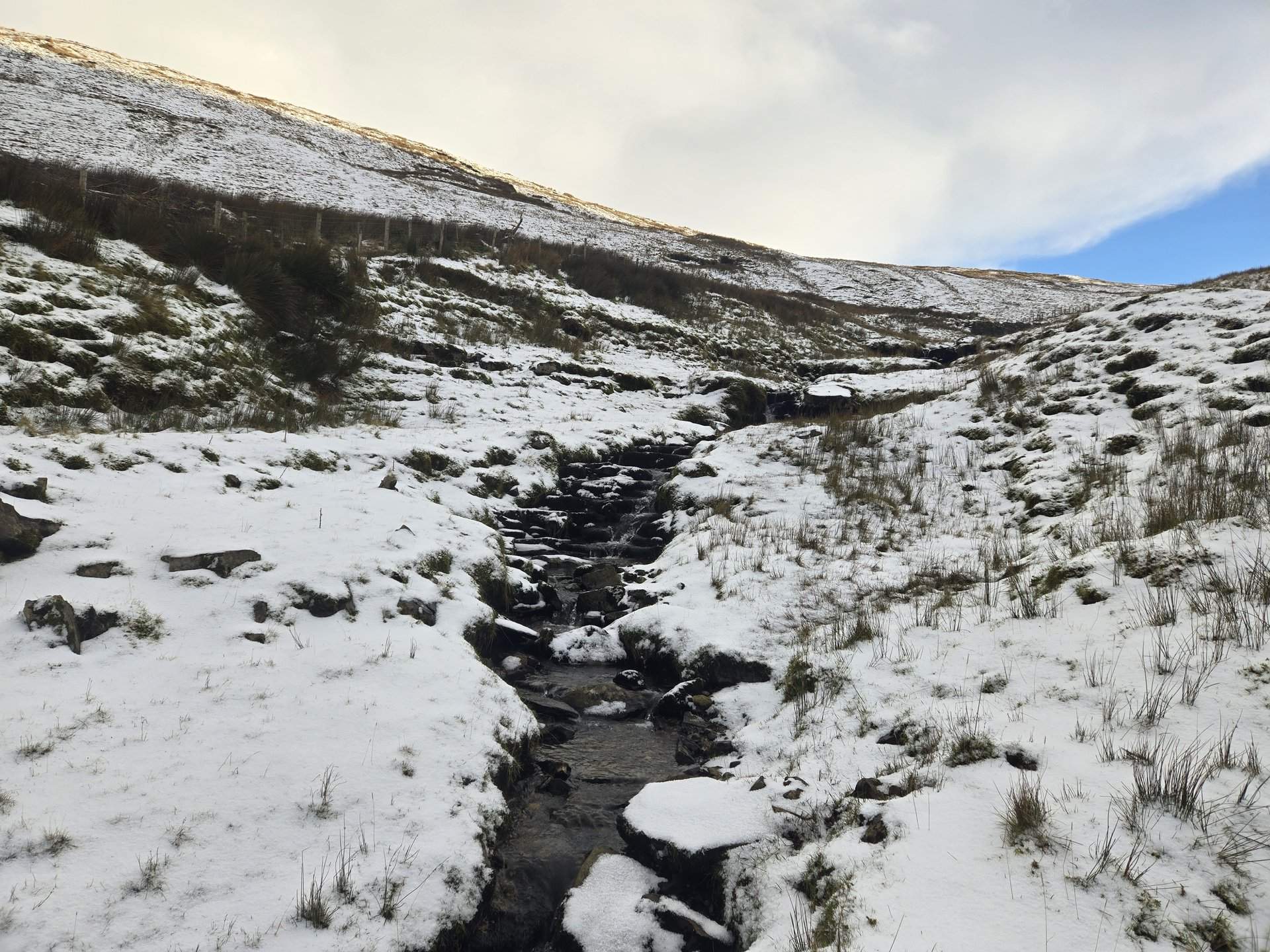
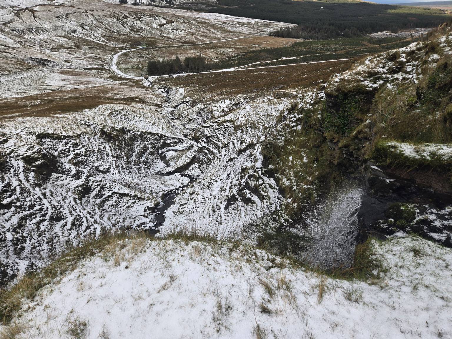
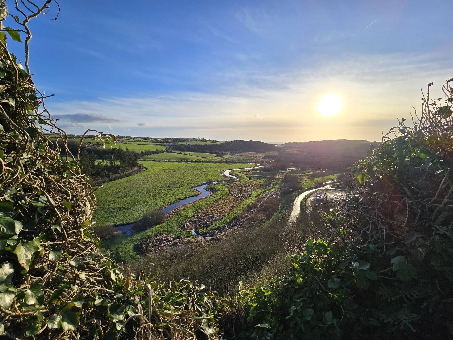
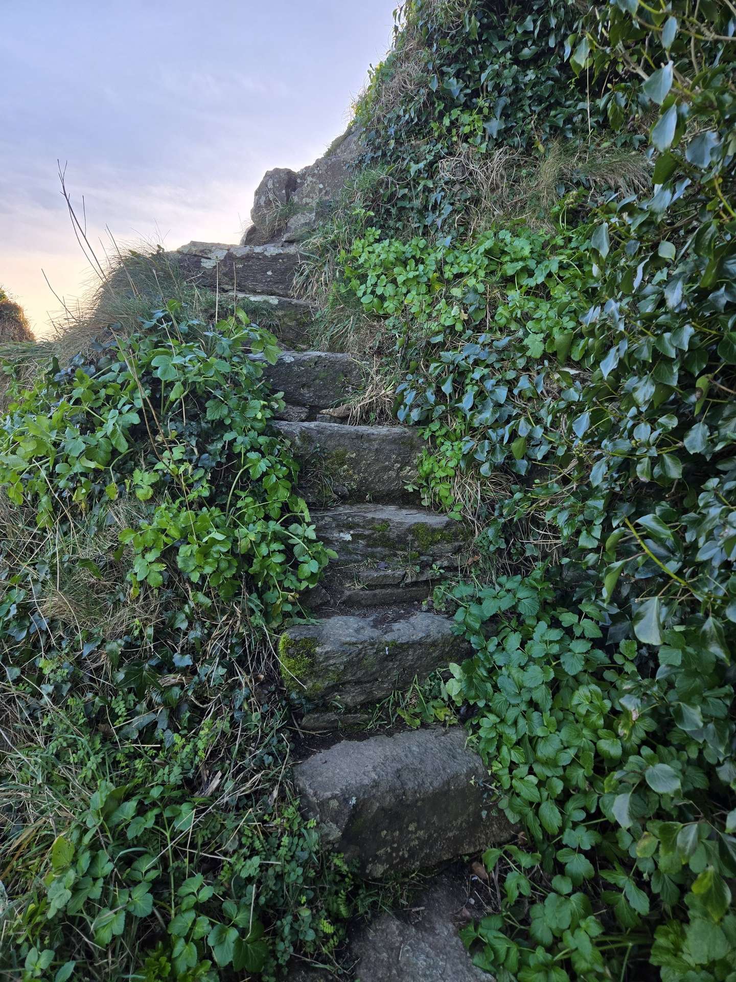
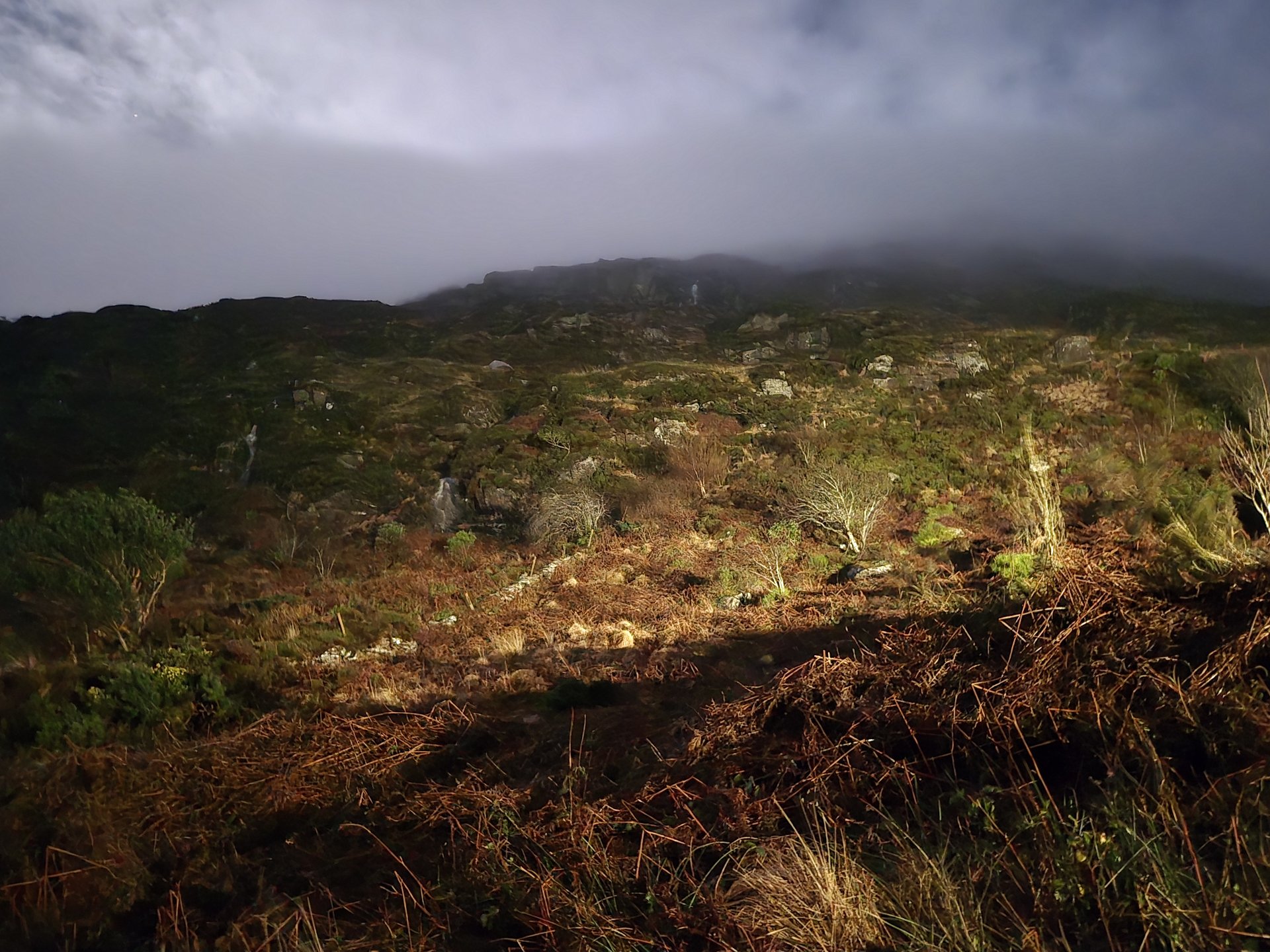
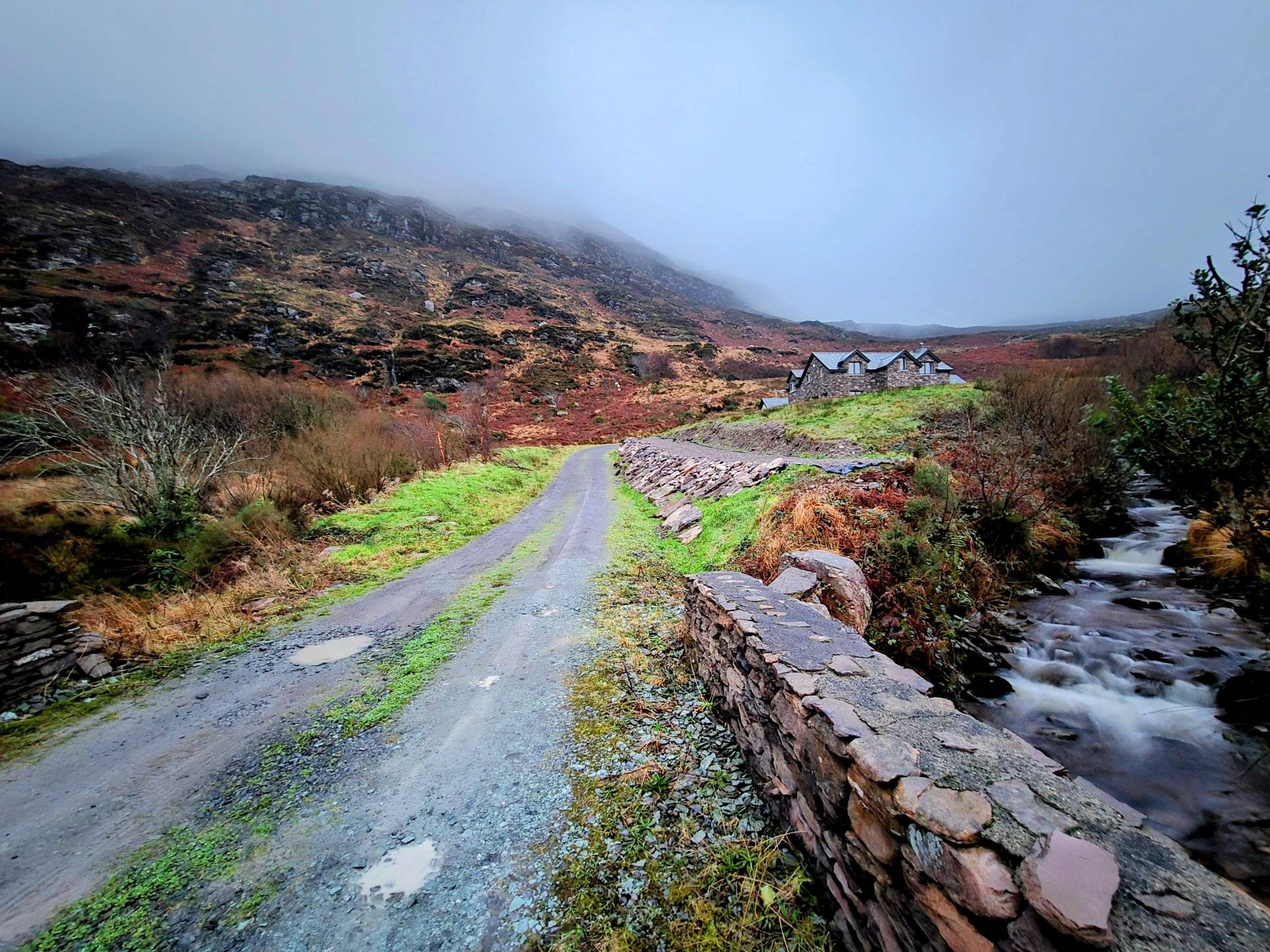
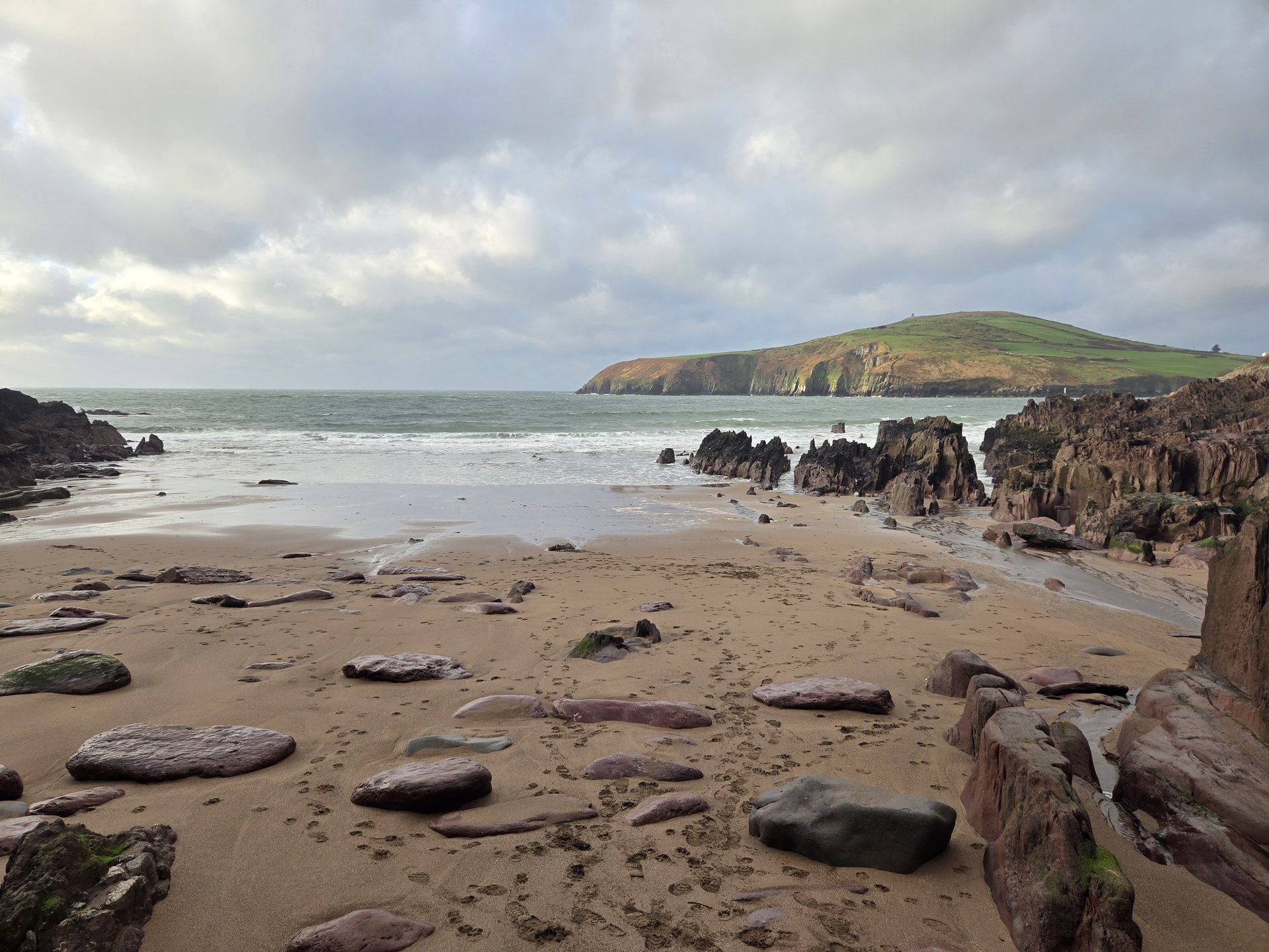
Day 1
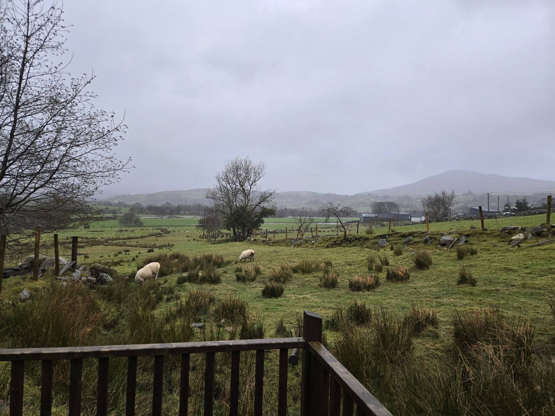
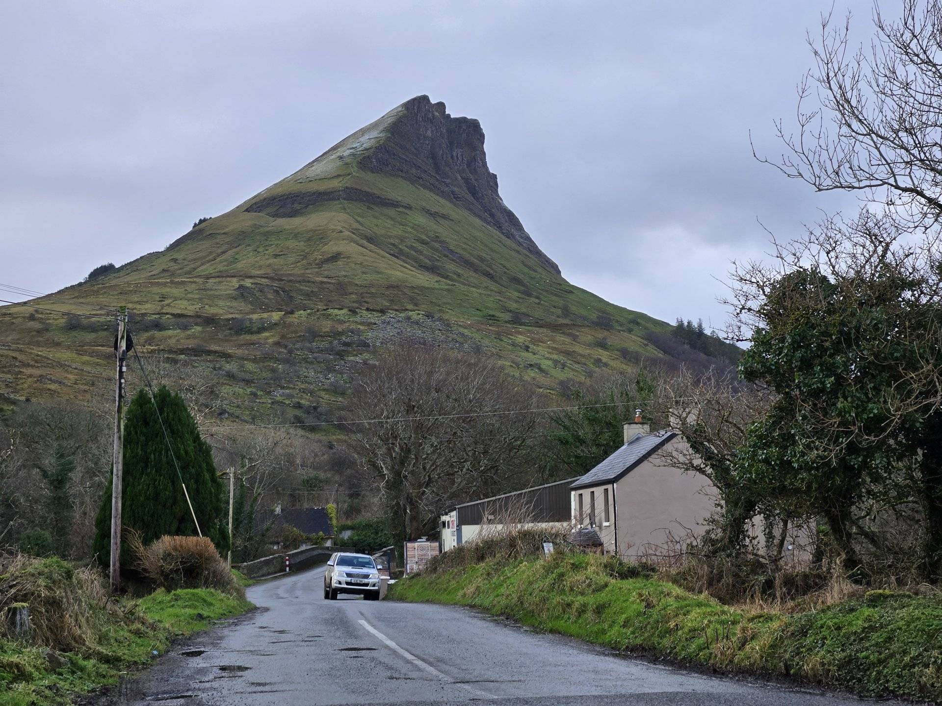
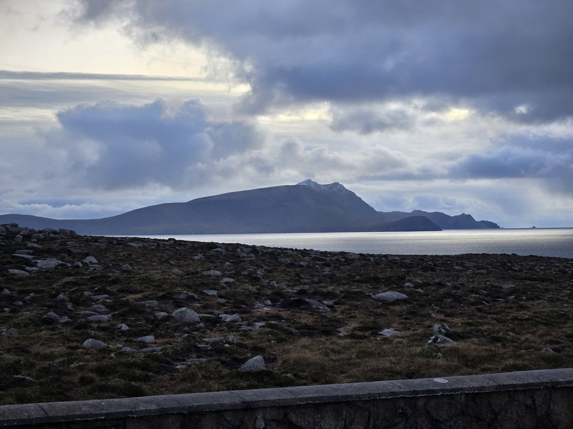
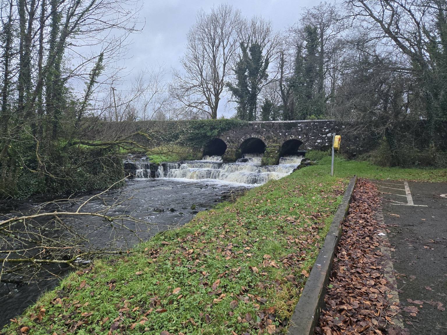
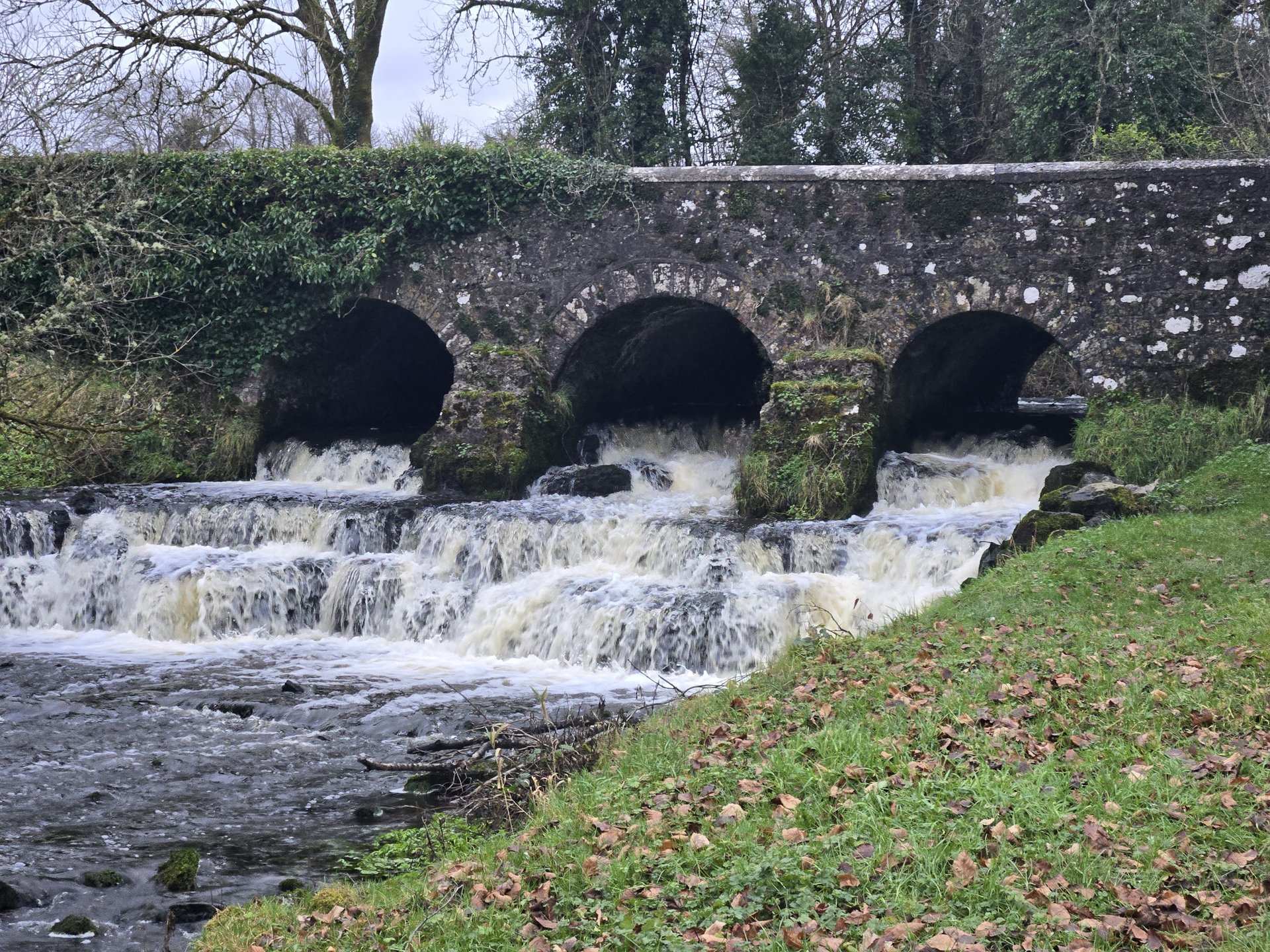
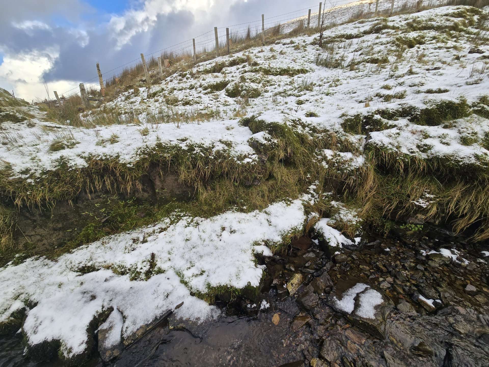
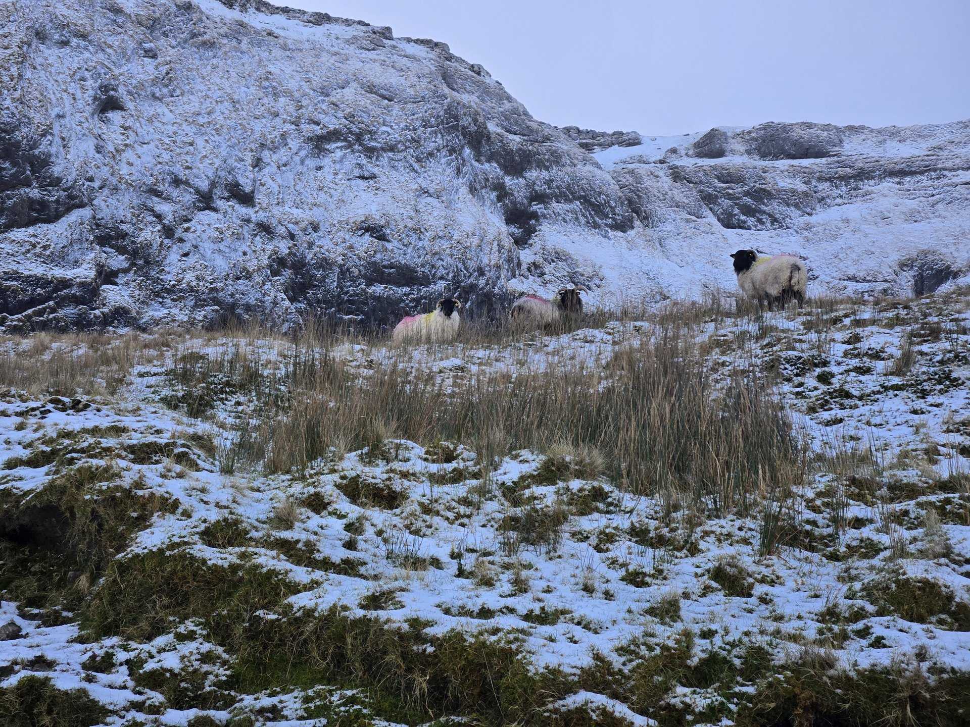
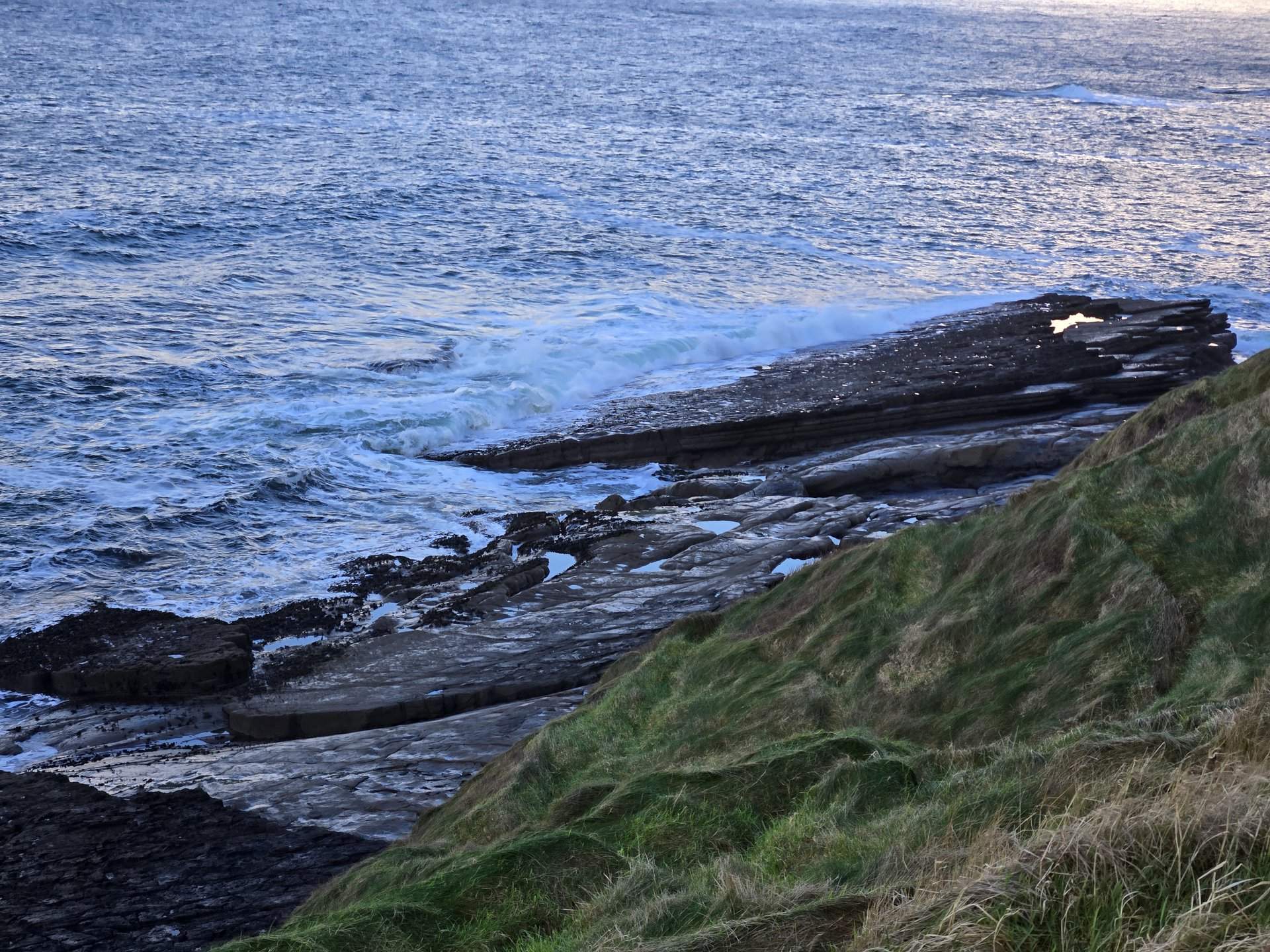
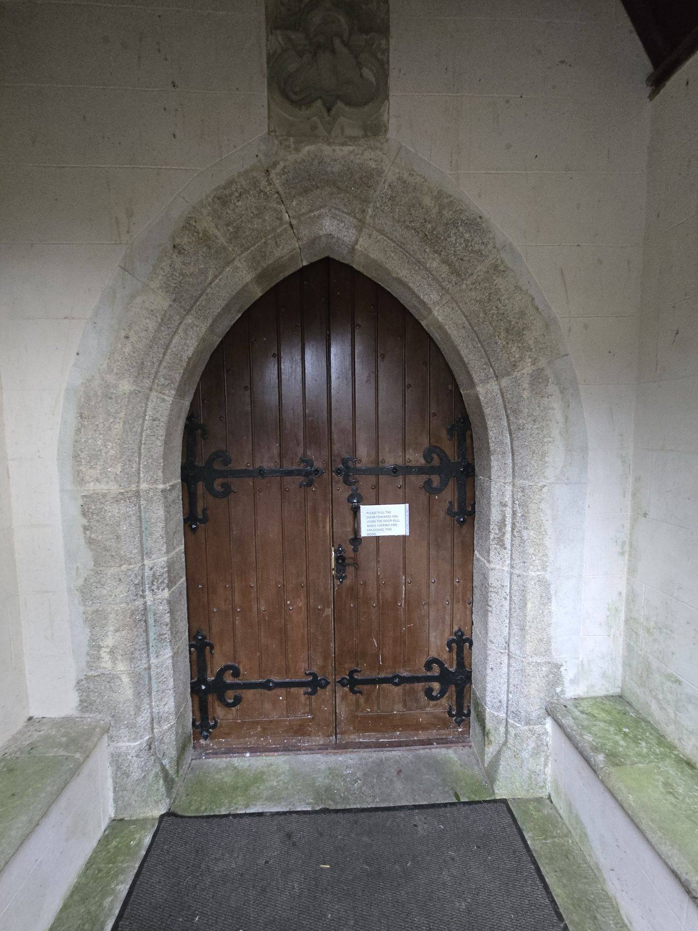
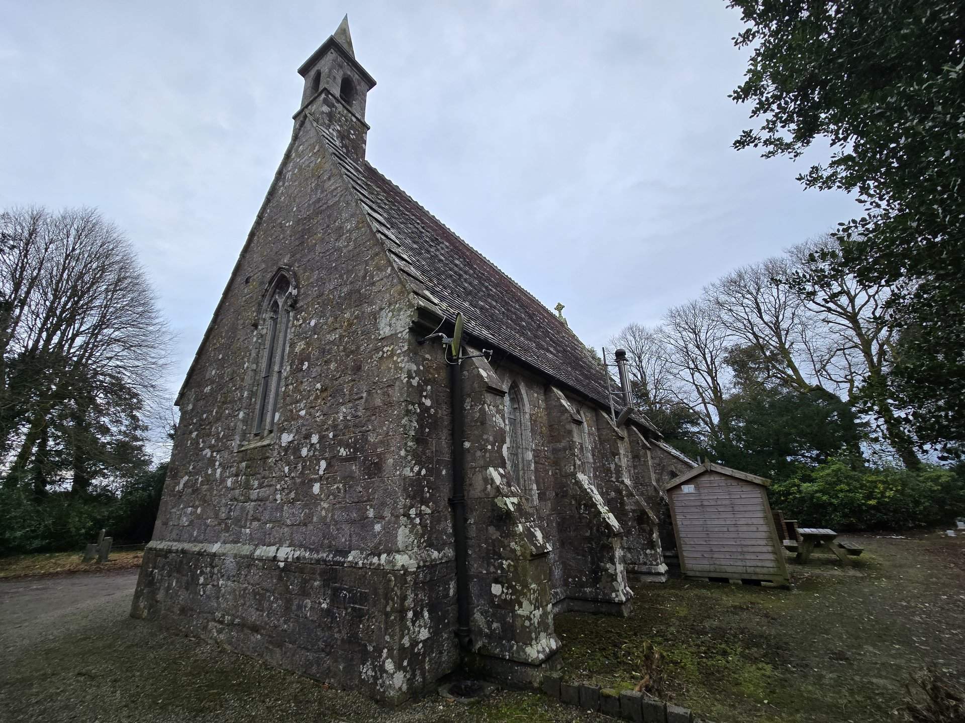
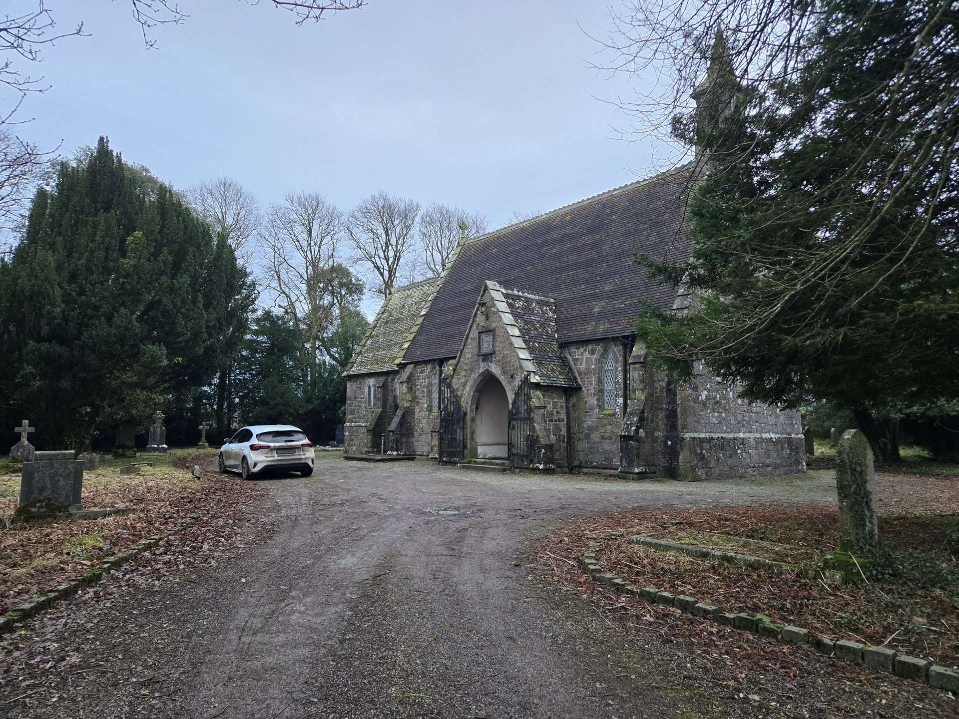
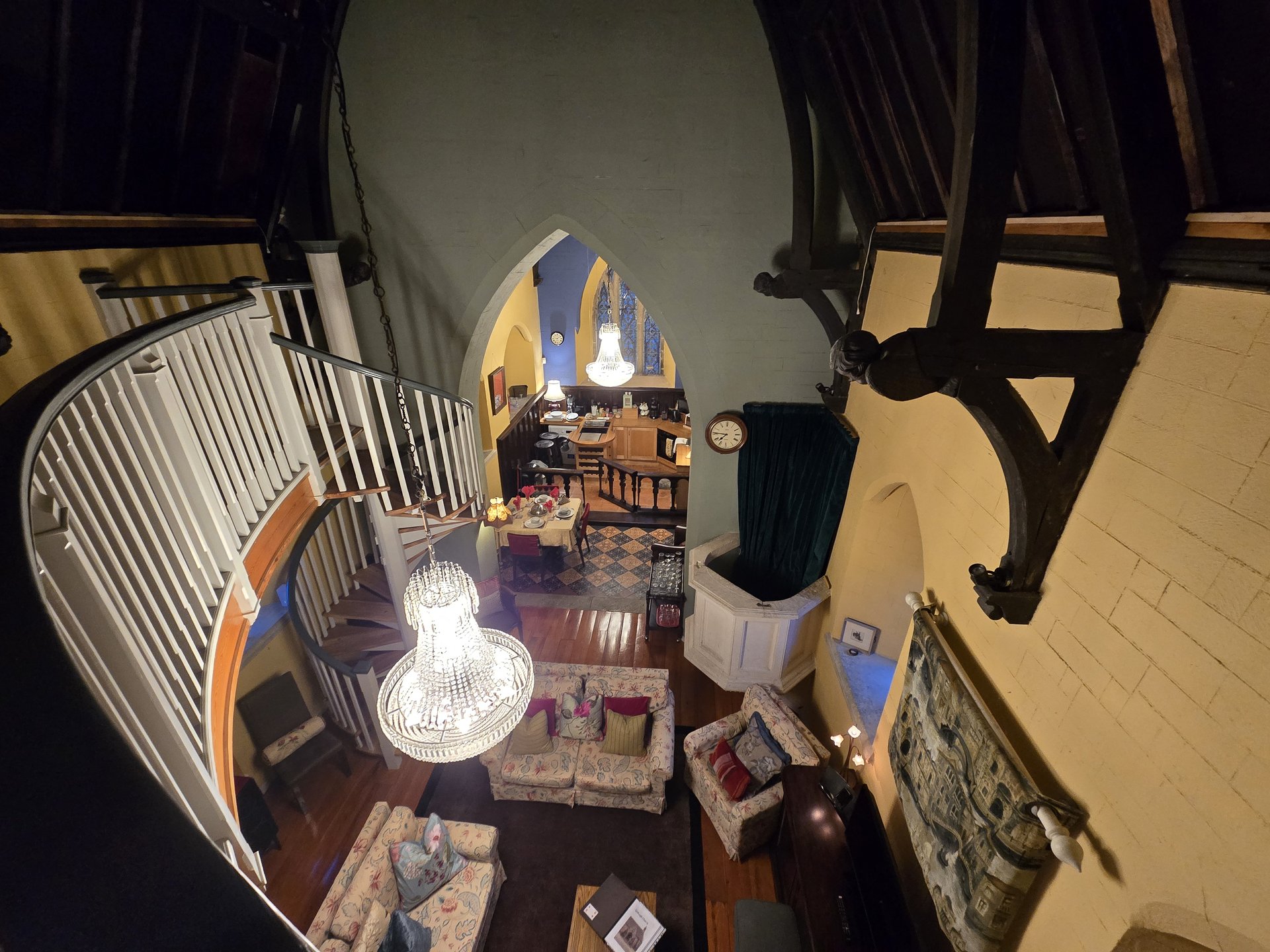
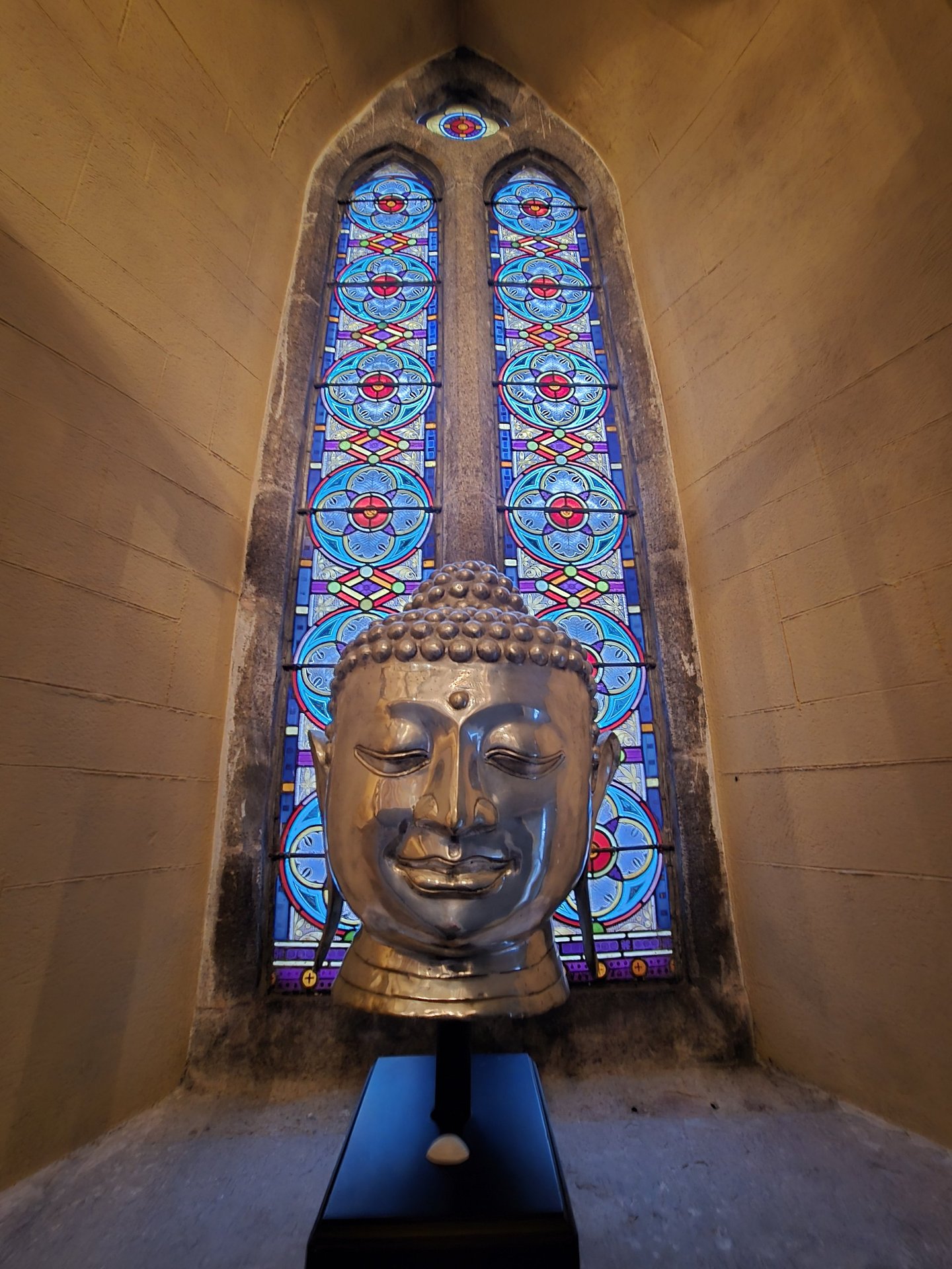
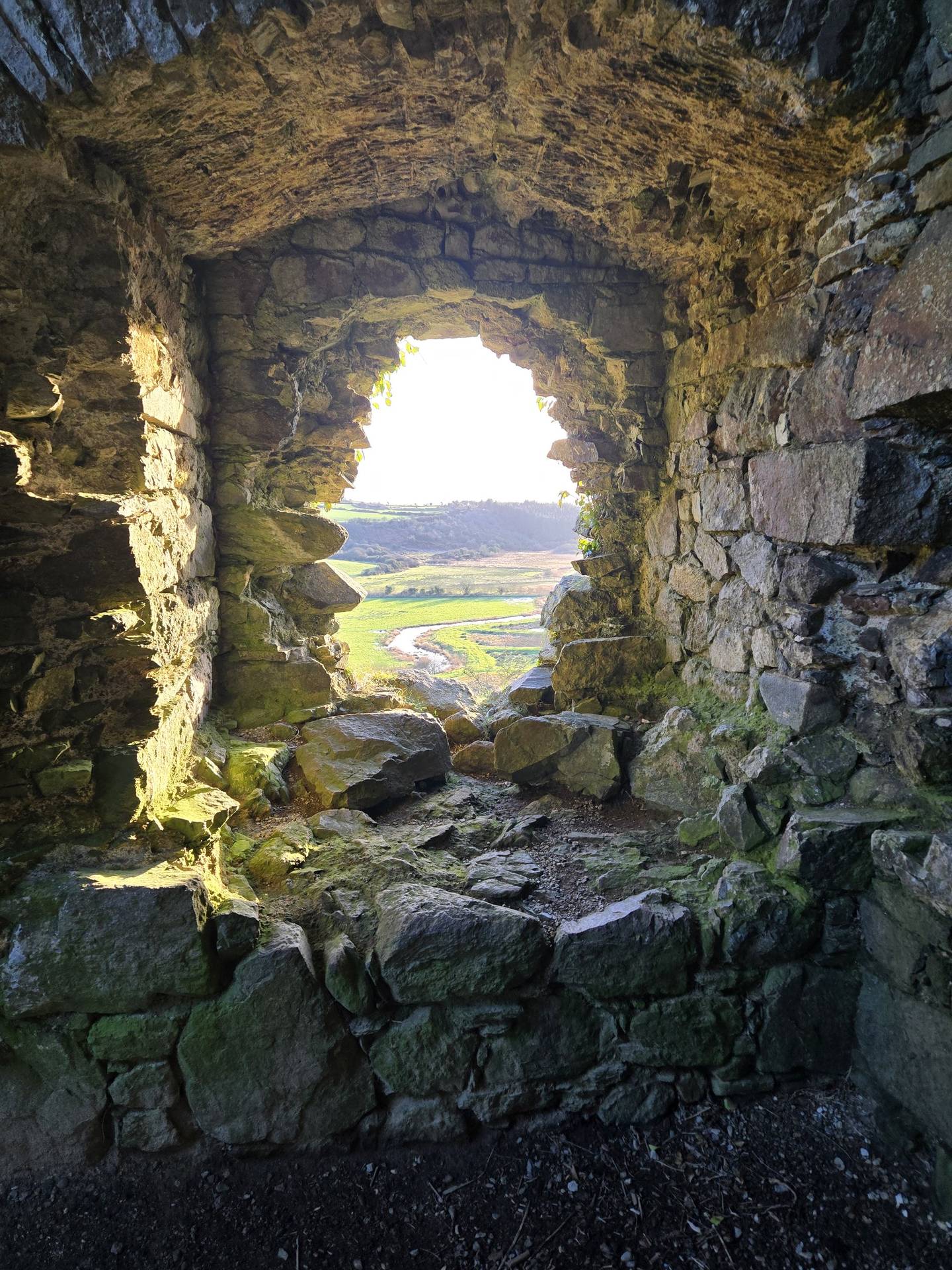
Day 1 journey of 313 km (195 miles) through Kiltartan, County Galway, Castletaylor, County Galway, Kilcolgan, County Galway and other locations. The route featured significant climbing with 2868 meters of elevation gain, traversing mountainous terrain with 3 photos.
Monday, December 30, 2024
Gort, County Galway
→
Kiltartan, County Galway
→
Castletaylor, County Galway
→
Kilcolgan, County Galway
→
Oranmore, County Galway
→
Aughrim, County Galway
→
Belleville, County Galway
→
Kilmoylan, County Galway
→
Ballinderry, County Galway
→
Claretuam, County Galway
→
Killeen, County Galway
→
Milltown, County Galway
→
Ballindine, County Mayo
→
Kilbeagh, County Mayo
→
Achonry East, County Sligo
→
Tobercurry, County Sligo
→
Leitrim, County Sligo
→
Streamstown, County Sligo
→
Temple, County Sligo
→
Annagh, County Sligo
→
Collooney, County Sligo
→
Kilmacowen, County Sligo
→
Sligo West, County Sligo
→
Drumcliff East, County Sligo
→
Drumcliff West, County Sligo
→
Lissadill East, County Sligo
→
Rossinver West, County Sligo
→
Rossinver East, County Sligo
→
Cliffony North, County Sligo
→
Ballintra, County Donegal
→
Laghy, County Donegal
→
Donegal, County Donegal
→
Clogher, County Donegal
→
Dooish, County Donegal
→
Stranorlar, County Donegal
→
Knock, County Donegal
→
An Clochán, County Donegal
Day Statistics 313km • 290 photos
Distance
313.4 km
Duration
7.3 hrs
Elevation Gain
2868 m
Photos
3
🗺️ Route Map
📸 Photos
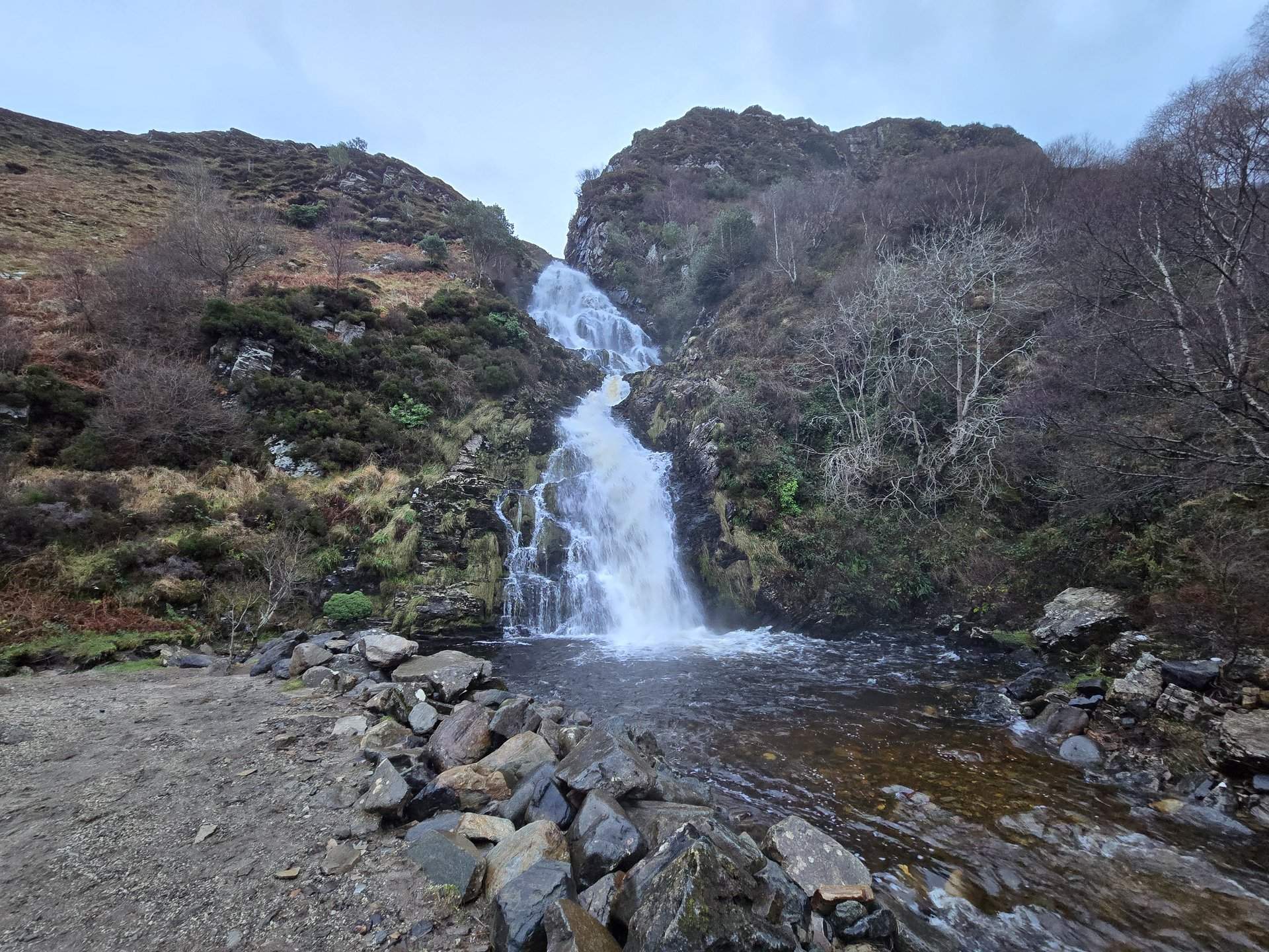
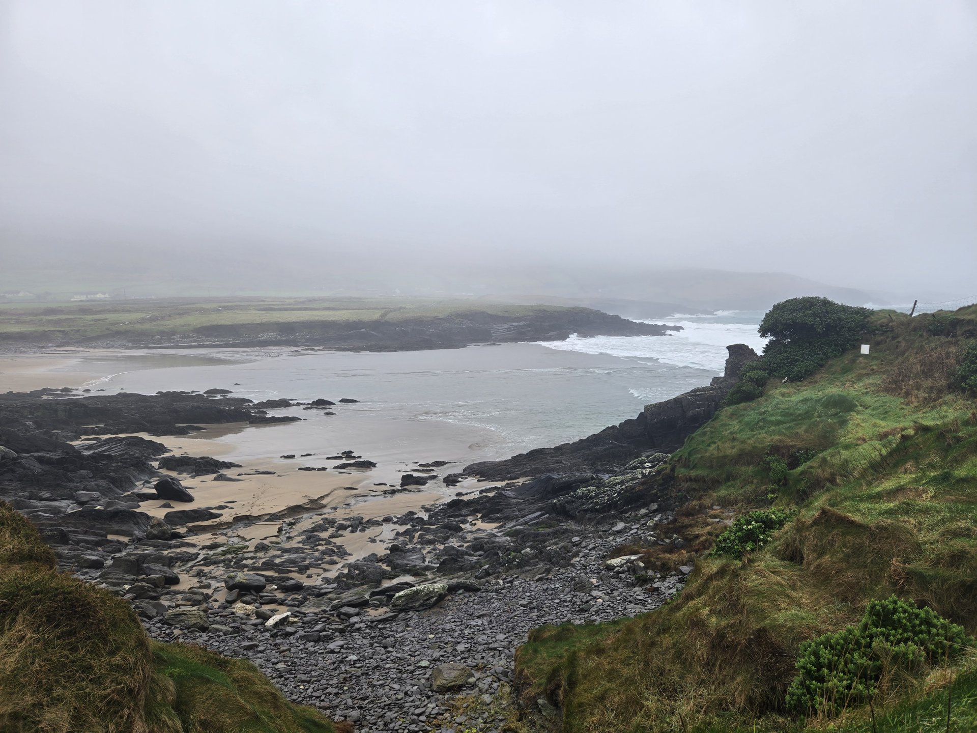
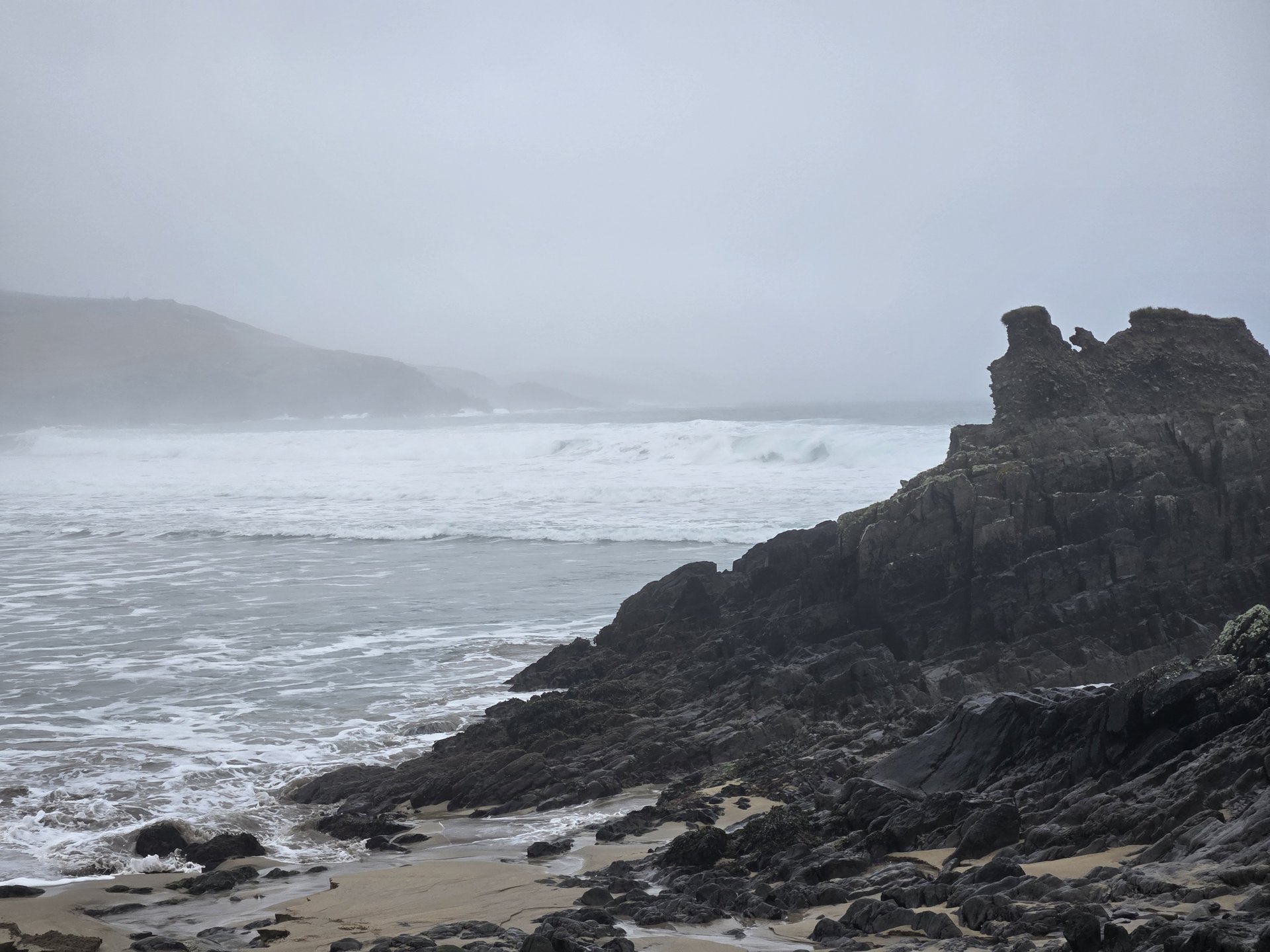
Day 2
Day 2 journey of 167 km (104 miles) through Stranorlar, County Donegal, Dooish, County Donegal, An Clochán, County Donegal and other locations. The route featured significant climbing with 2662 meters of elevation gain, traversing mountainous terrain. 10 photos captured along the route.
Tuesday, December 31, 2024
Stranorlar, County Donegal
→
Dooish, County Donegal
→
An Clochán, County Donegal
→
Cloghan, County Donegal
→
Baile na Finne, County Donegal
→
Glenleheen, County Donegal
→
Glenties, County Donegal
→
Ardara, County Donegal
→
Glengesh, County Donegal
→
Inishkeel, County Donegal
→
Kilgoly, County Donegal
→
Malinbeg, County Donegal
→
Glencolumbkille, County Donegal
→
Crowkeeragh, County Donegal
→
Graffy, County Donegal
→
Edenfinfagh, County Donegal
Day Statistics 167km • 290 photos
Distance
167.3 km
Duration
4.8 hrs
Elevation Gain
2662 m
Photos
10
🗺️ Route Map
📸 Photos
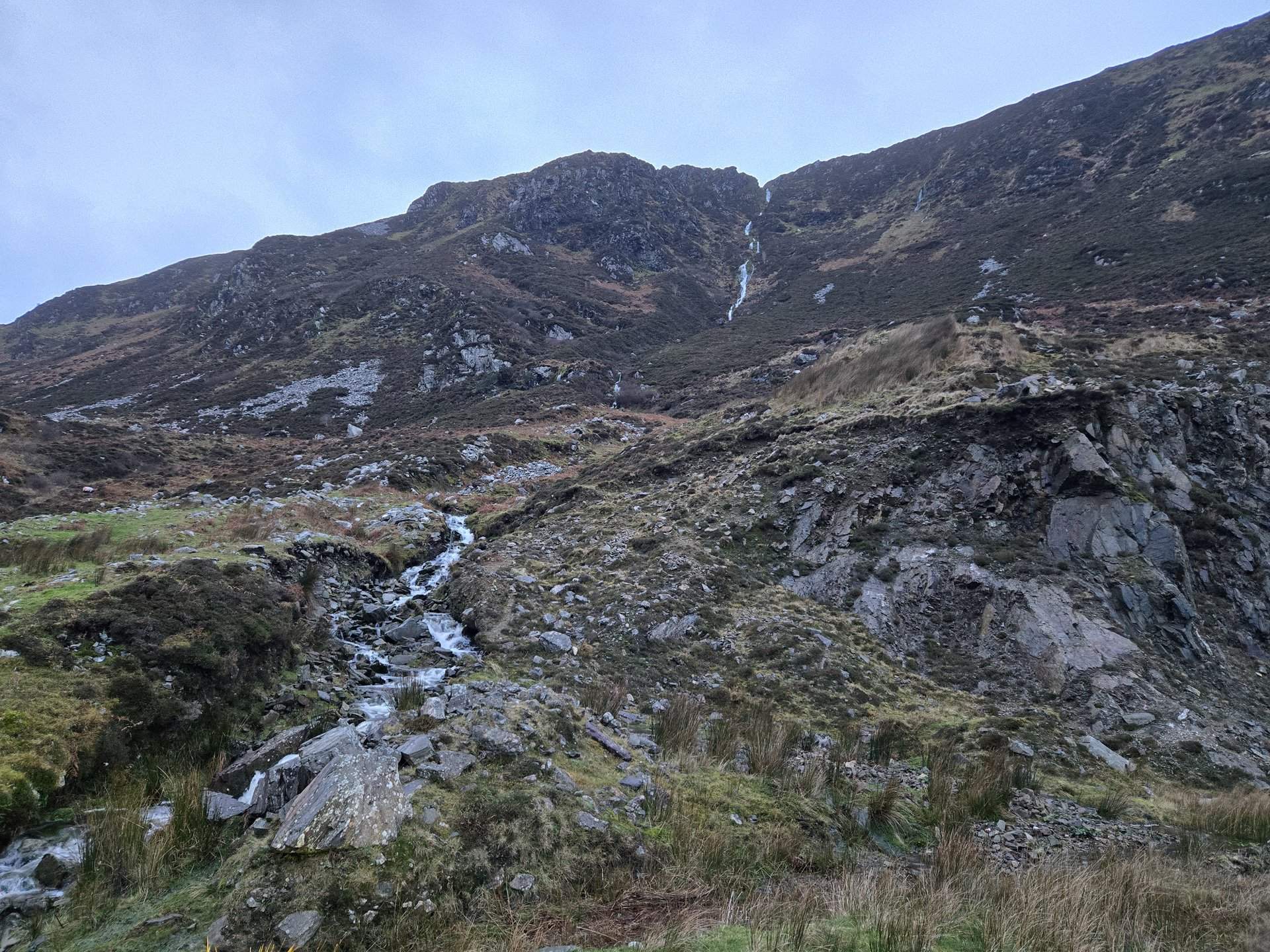
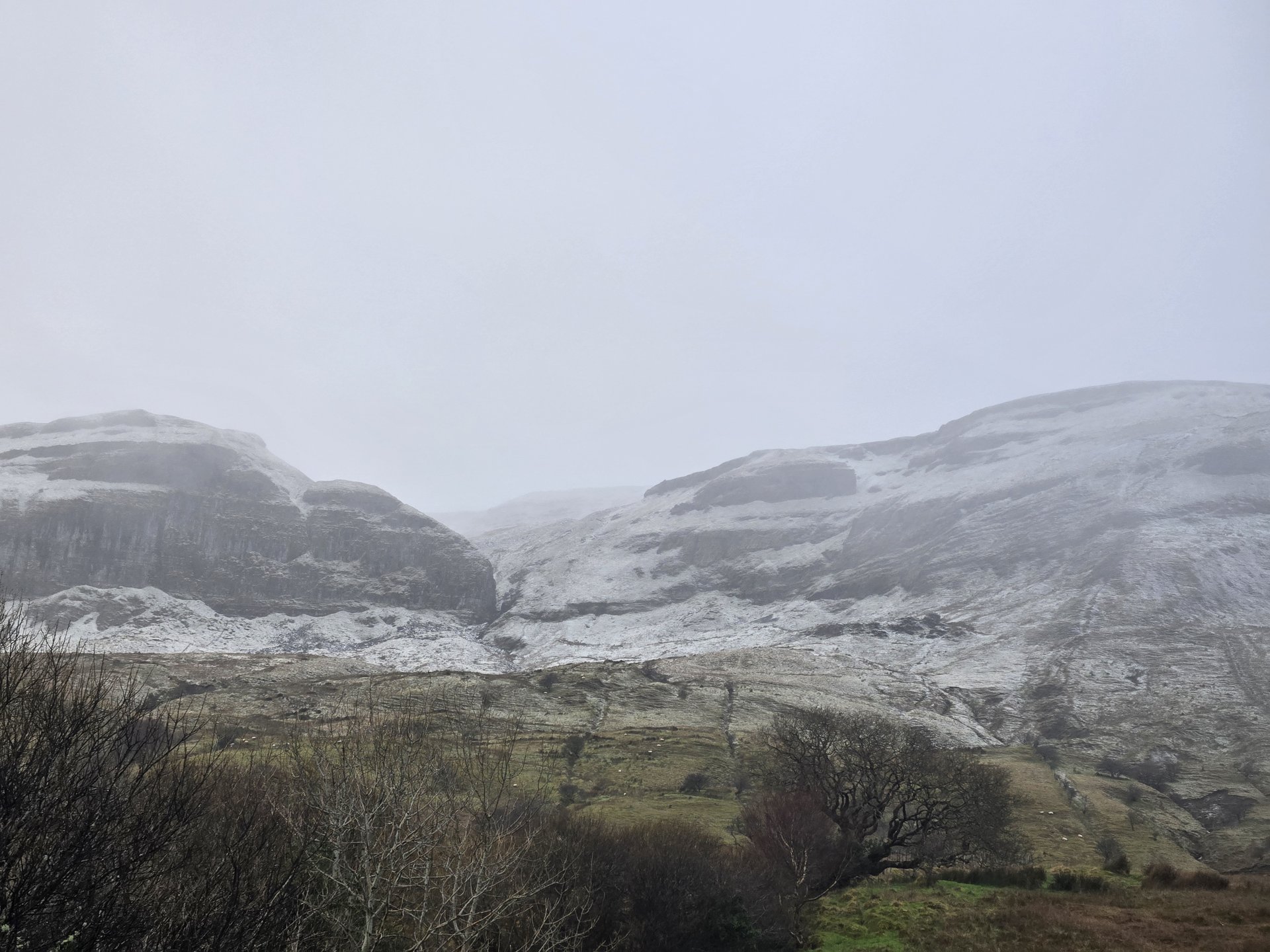
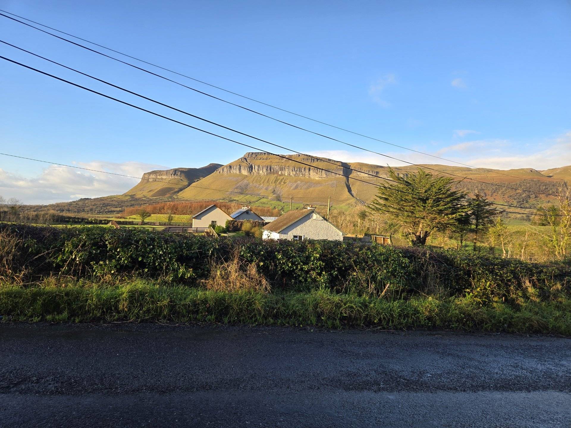
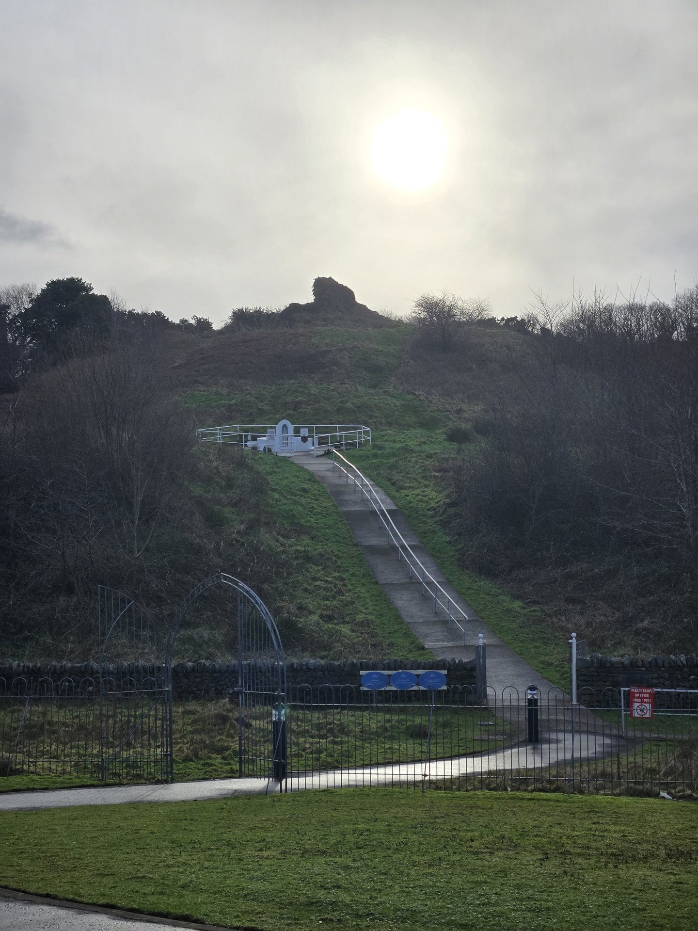
Day 3
Day 3 journey of 214 km (133 miles) through Dooish, County Donegal, Clogher, County Donegal, Donegal, County Donegal and other locations. The route featured significant climbing with 1992 meters of elevation gain, traversing mountainous terrain with 5 photos.
Wednesday, January 1, 2025
Dooish, County Donegal
→
Clogher, County Donegal
→
Donegal, County Donegal
→
Laghy, County Donegal
→
Ballintra, County Donegal
→
Cliffony North, County Sligo
→
Cliffony South, County Sligo
→
Lissadill North, County Sligo
→
Carney, County Sligo
→
Drumcliff West, County Sligo
→
Sligo North, County Sligo
→
Caltragh, County Sligo
→
Calry, County Sligo
→
Ballintogher West, County Sligo
→
Ballintogher East, County Sligo
→
Drumahaire, County Leitrim
→
Sramore, County Leitrim
→
Lurganboy, County Leitrim
→
Glenade, County Leitrim
→
Aghalateeve, County Leitrim
Day Statistics 214km • 290 photos
Distance
214.1 km
Duration
9.7 hrs
Elevation Gain
1991 m
Photos
5
🗺️ Route Map
📸 Photos
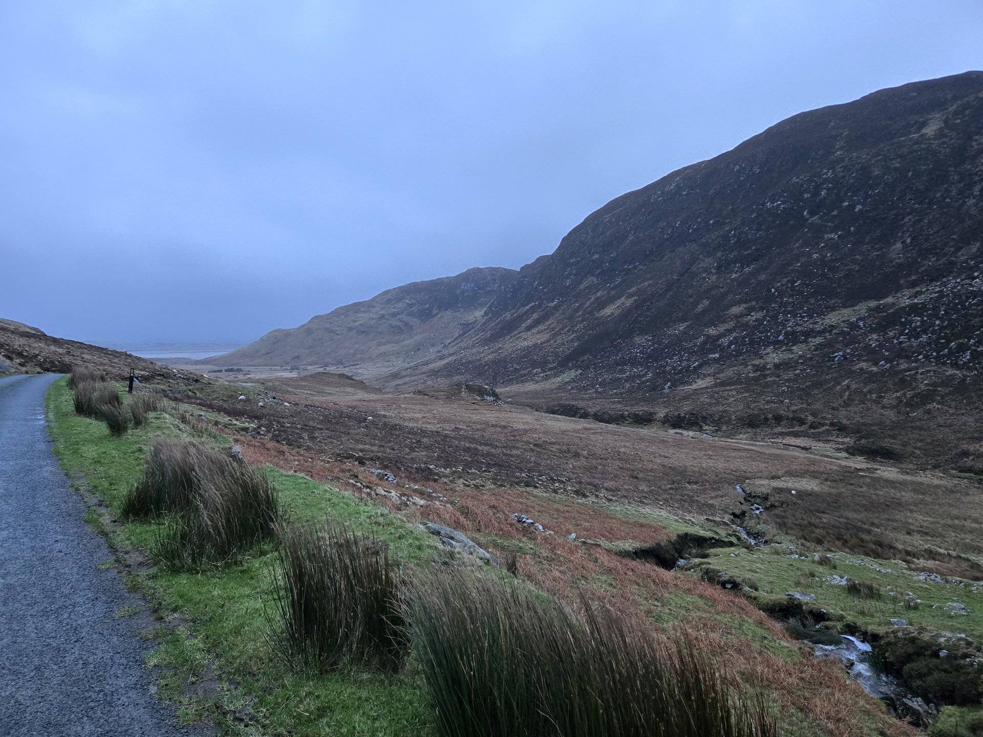
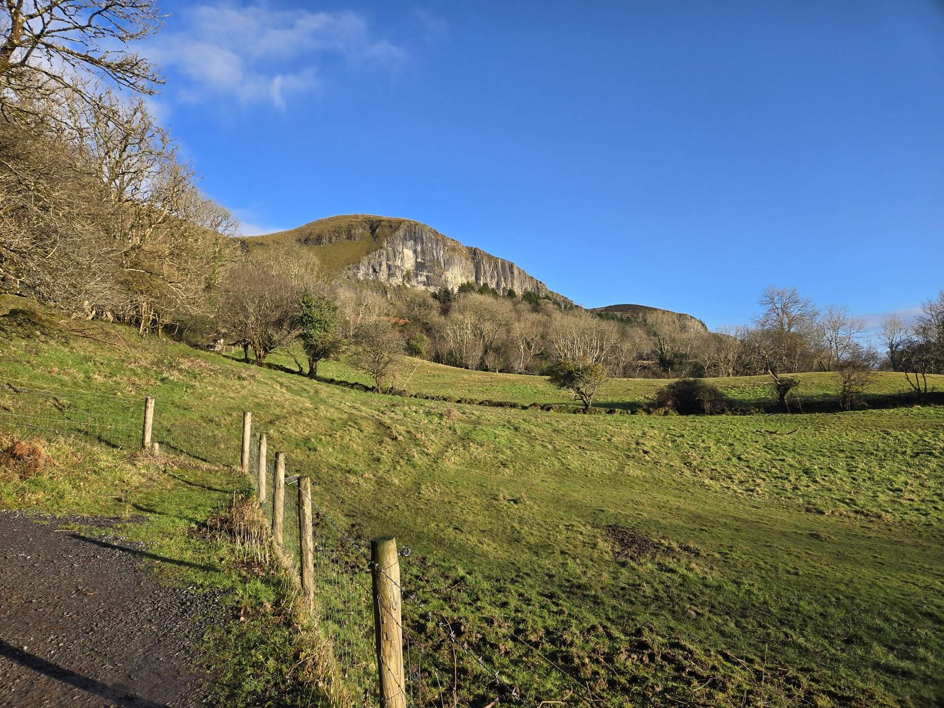
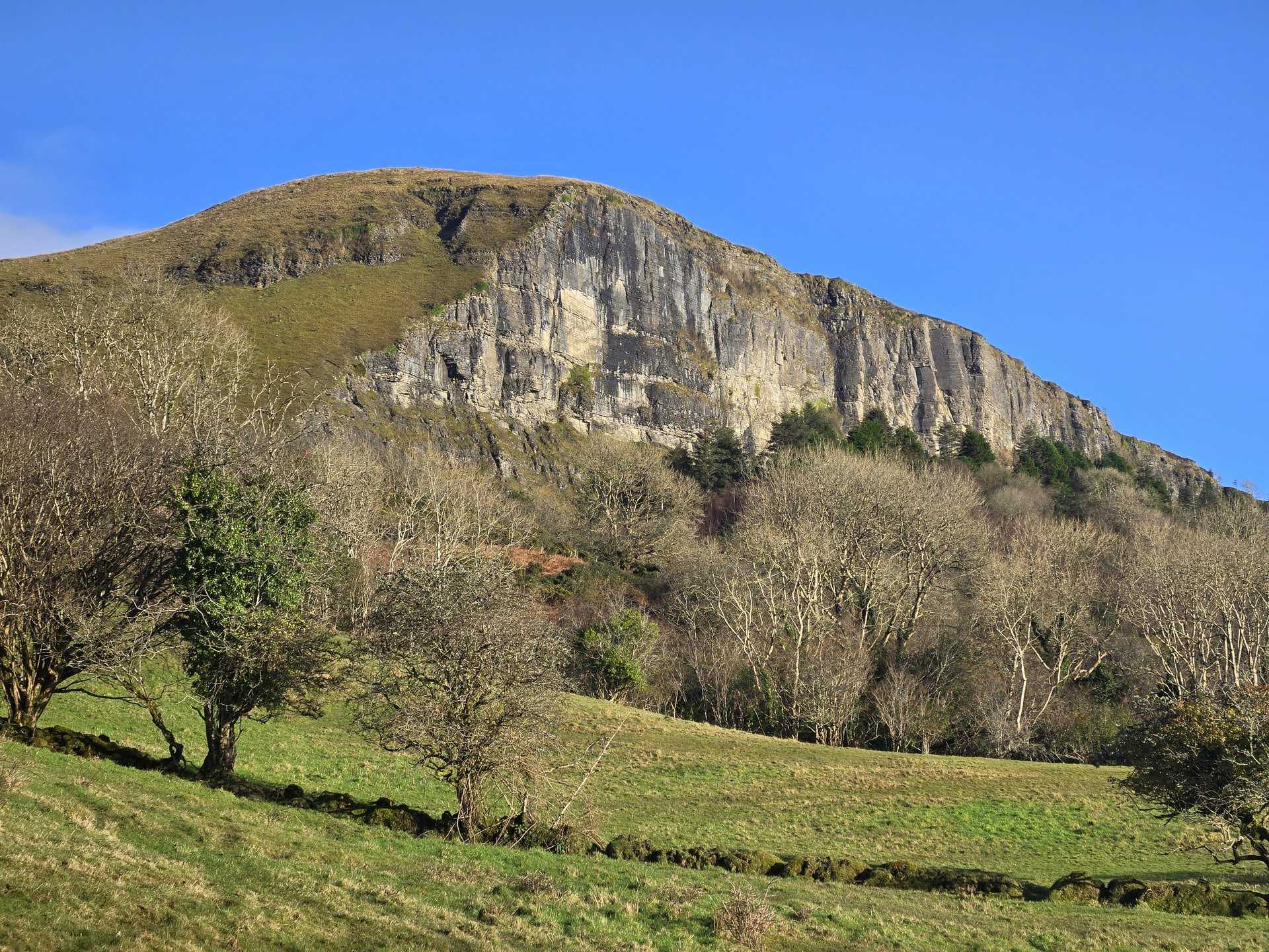
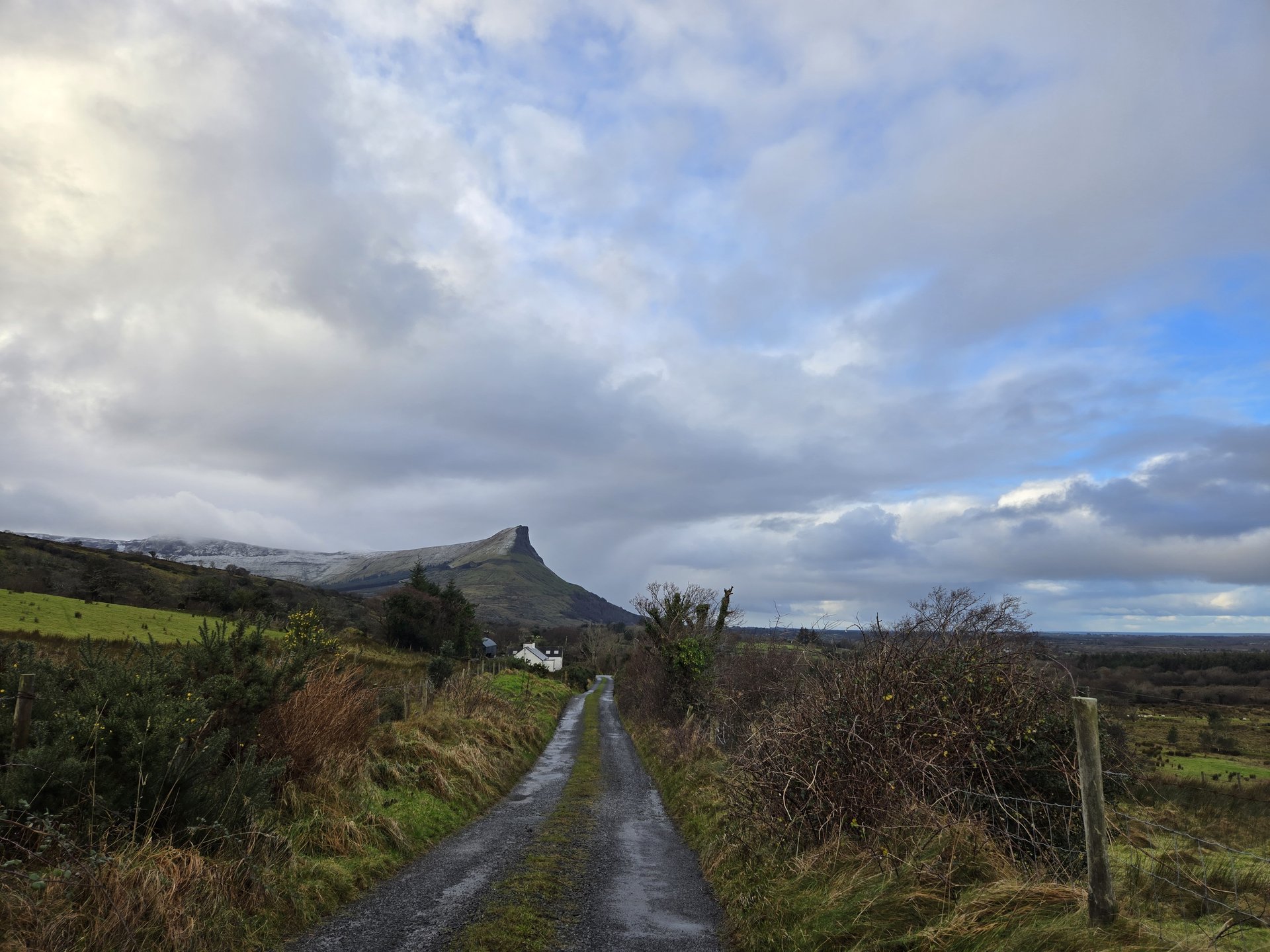
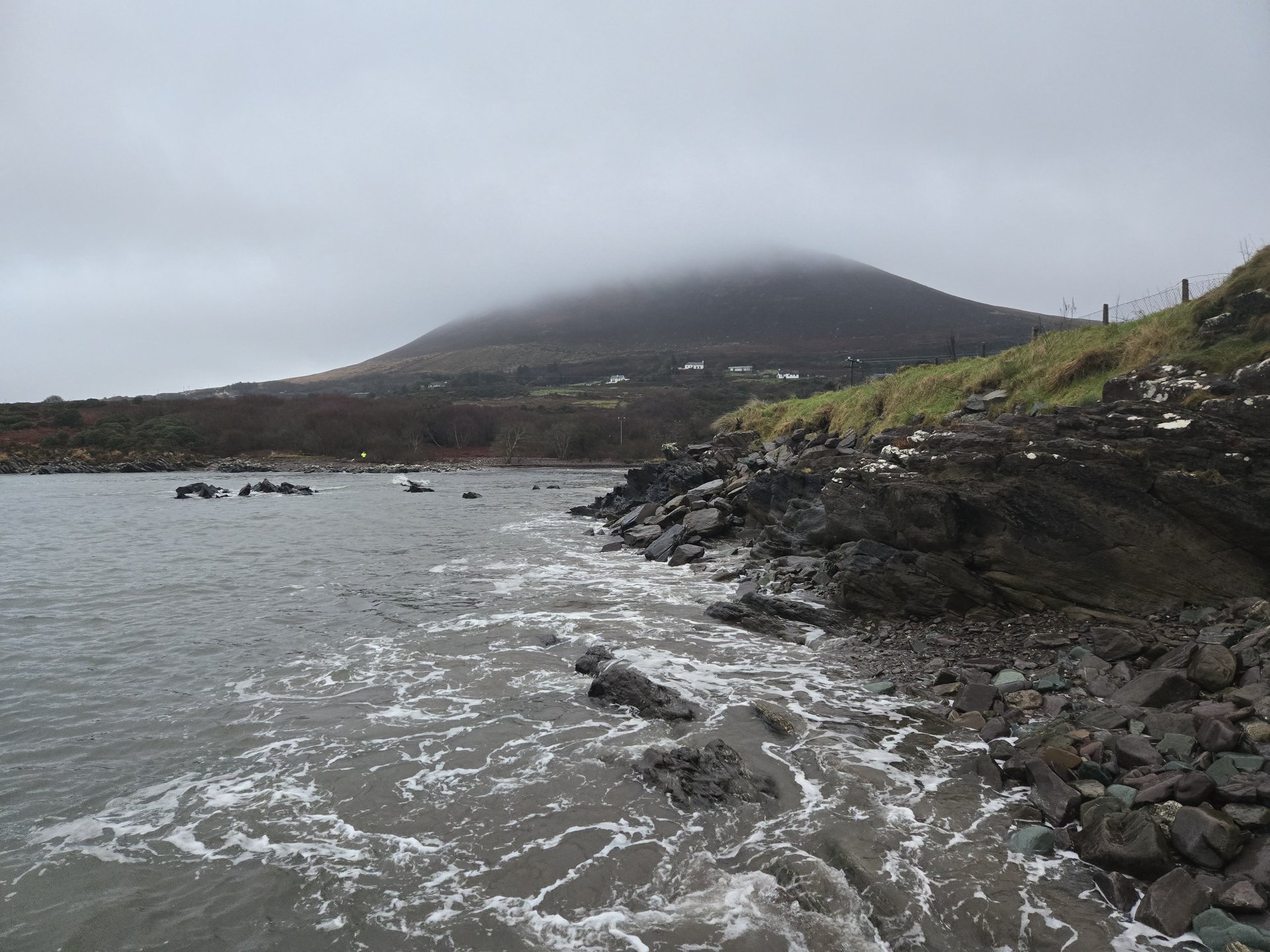
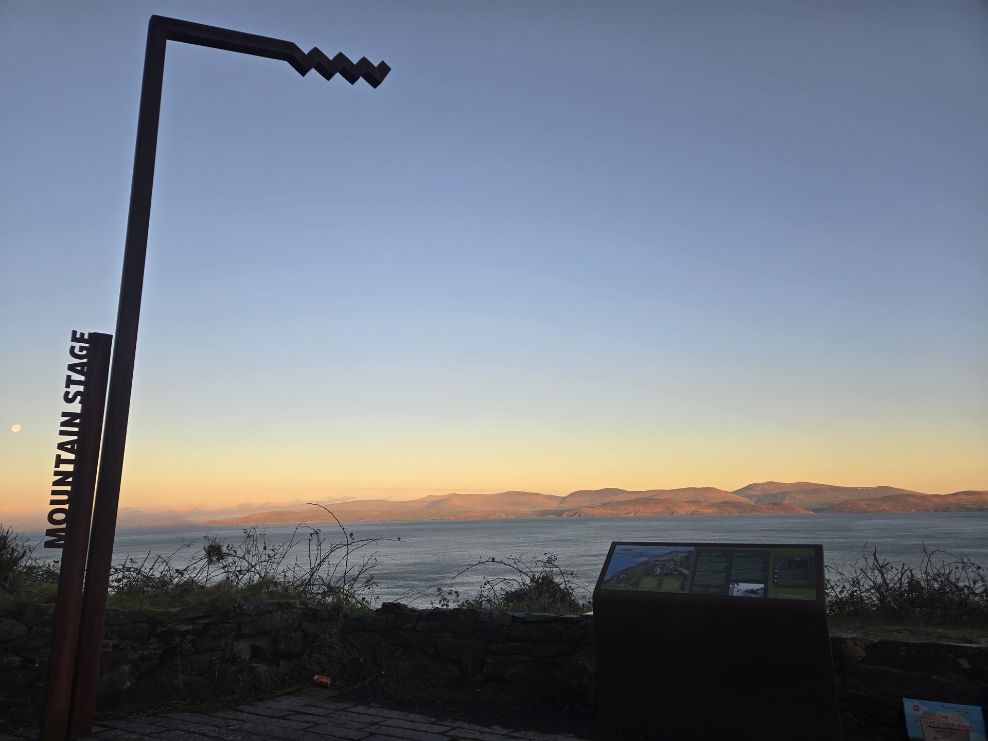
Day 4
Day 4 journey of 68 km (42 miles) through Aghalateeve, County Leitrim, Glenade, County Leitrim, Lurganboy, County Leitrim and other locations. The journey included substantial elevation changes with 1063 meters of ascent through rolling hills and coastal headlands. The day yielded 60 photographs.
Thursday, January 2, 2025
Aghalateeve, County Leitrim
→
Glenade, County Leitrim
→
Lurganboy, County Leitrim
→
Glencar, County Leitrim
→
Glencar, County Sligo
Day Statistics 68km • 290 photos
Distance
67.6 km
Duration
9.1 hrs
Elevation Gain
1062 m
Photos
60
🗺️ Route Map
📸 Photos (16 of 56)
Refresh page to see different photos
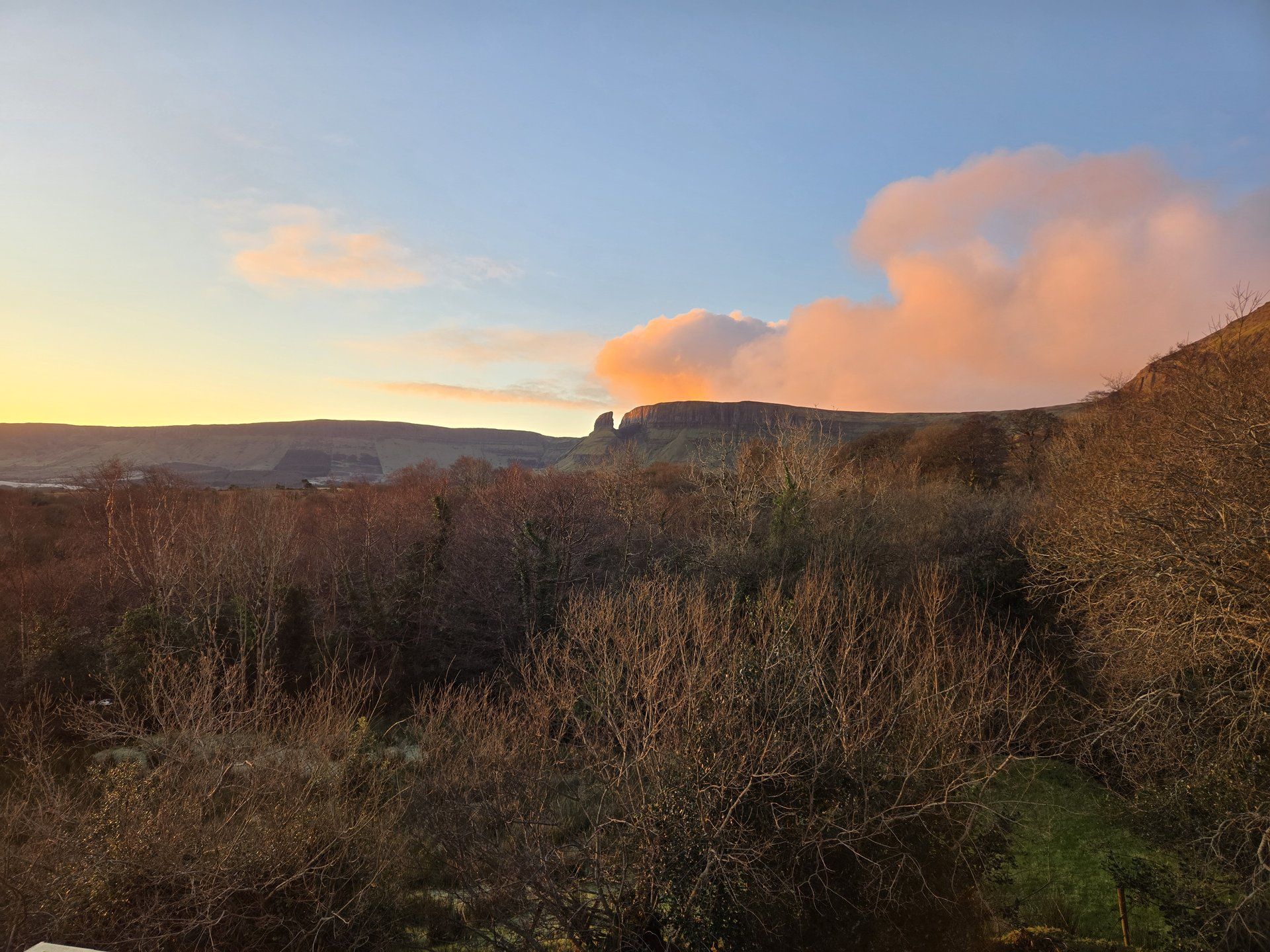
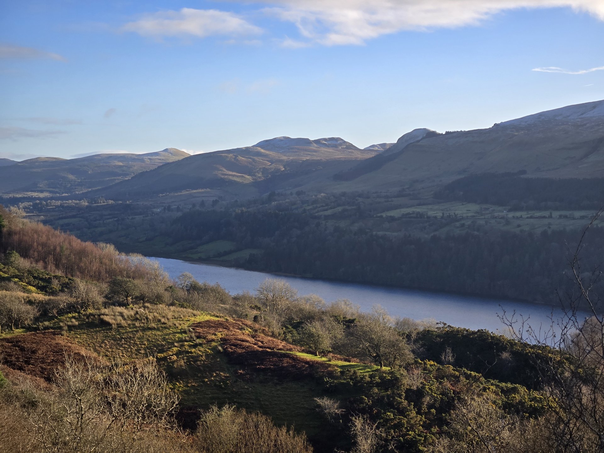
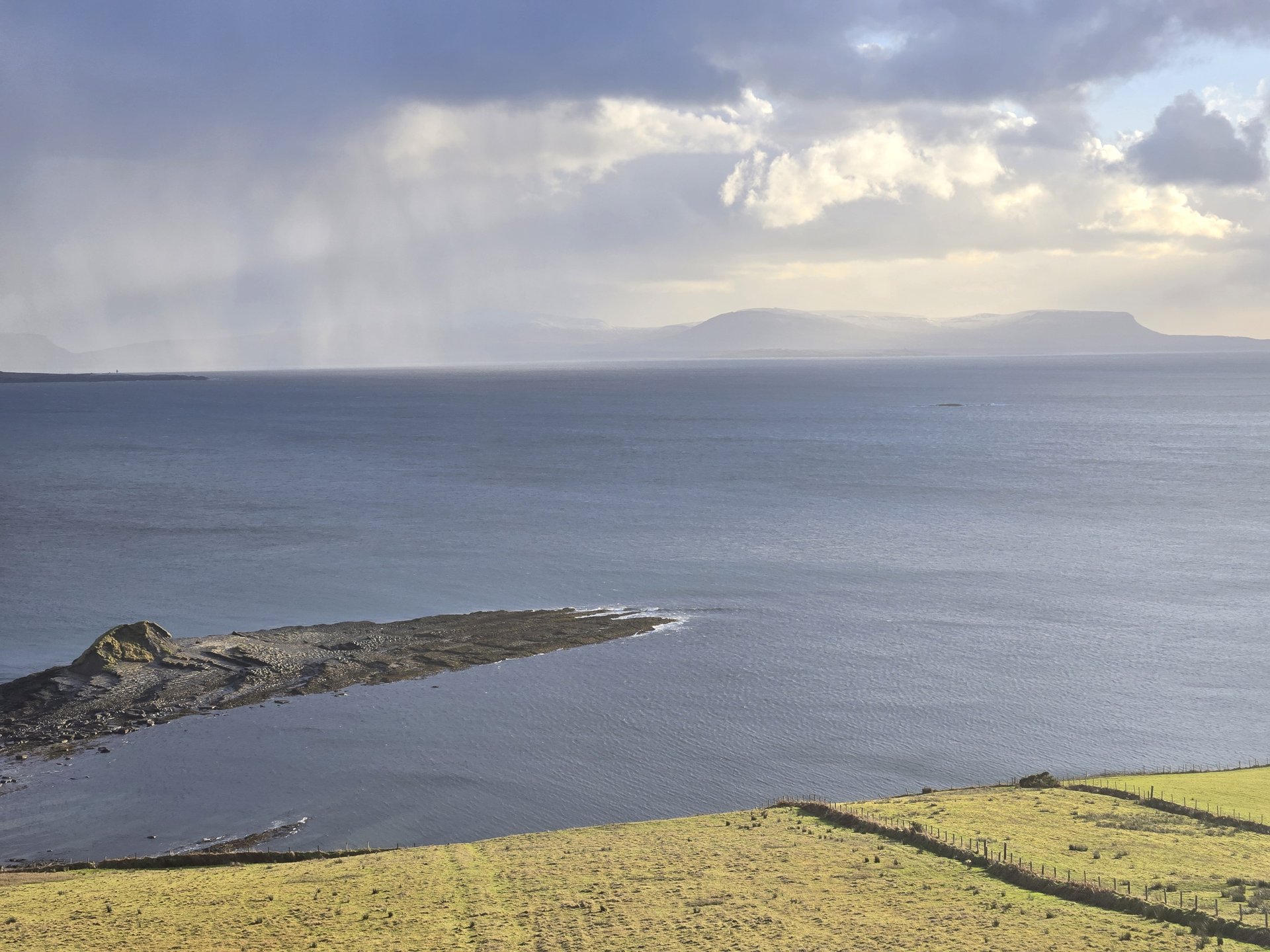
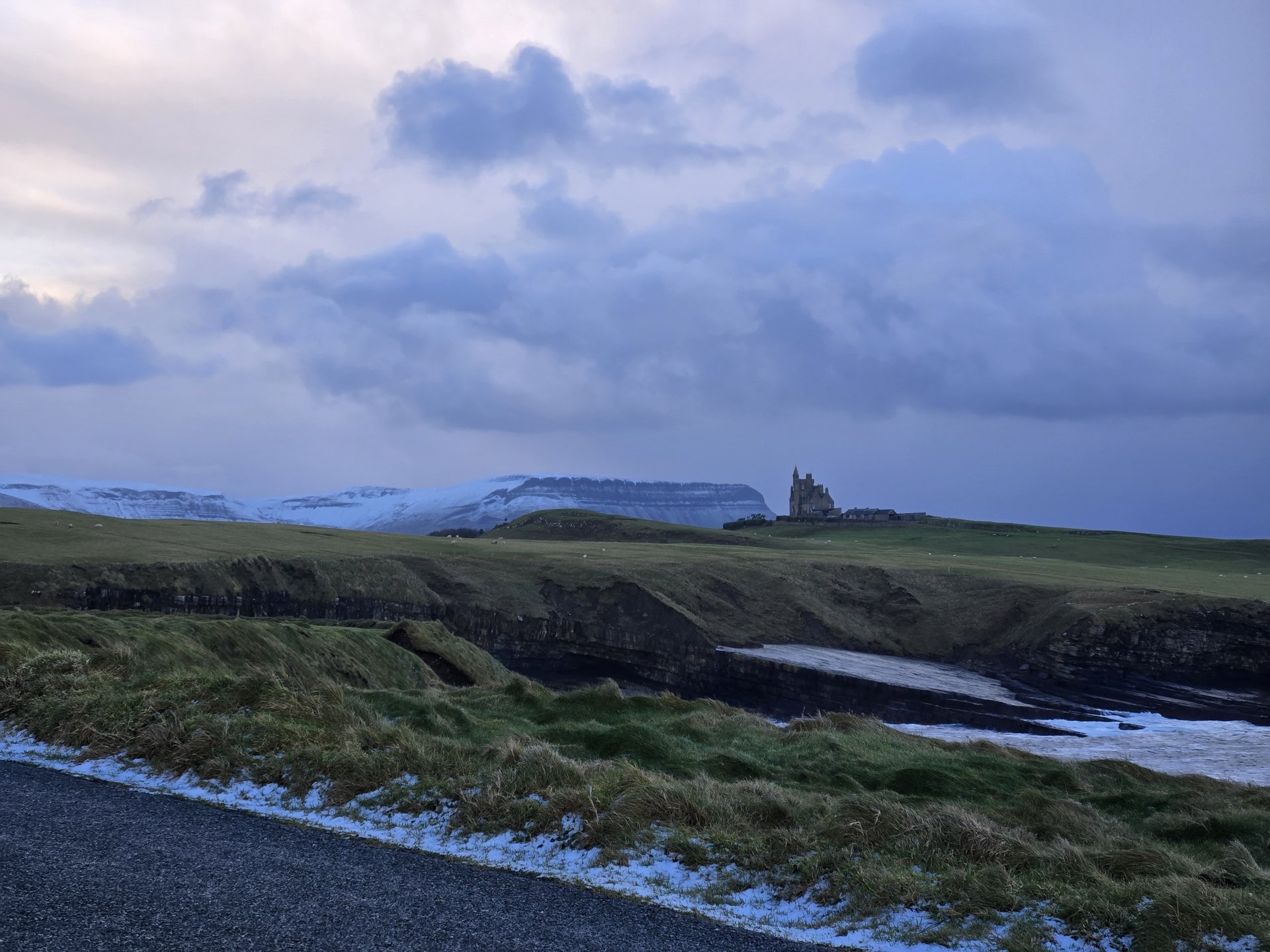
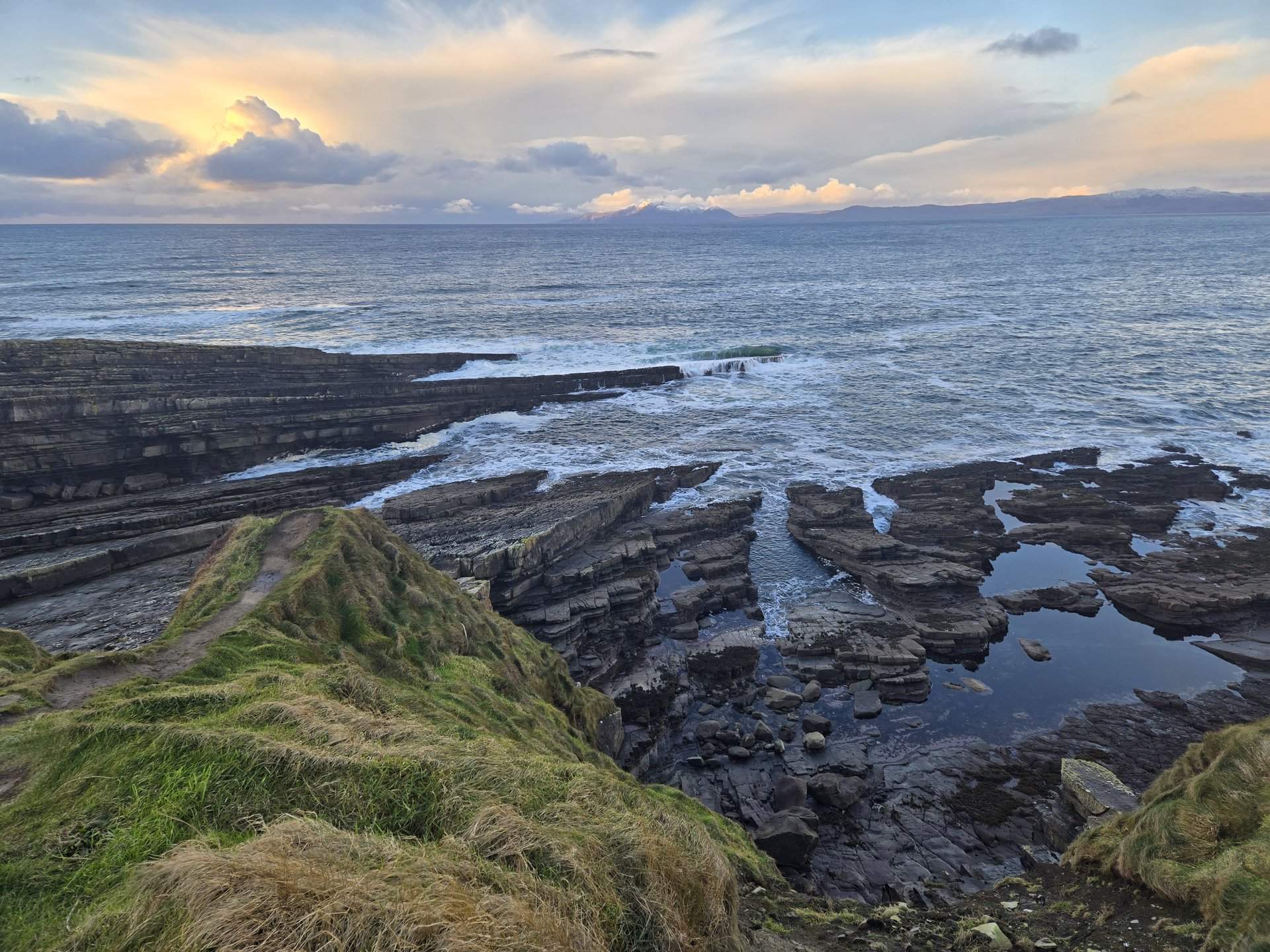
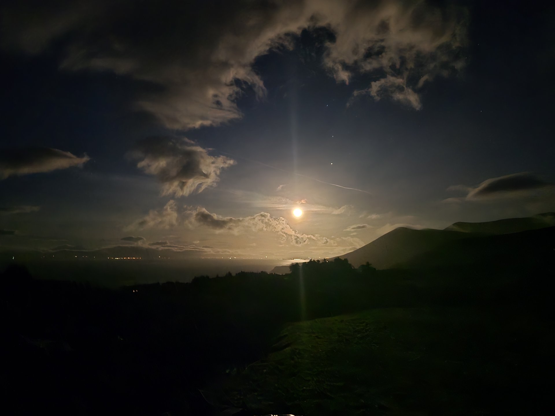
Day 5
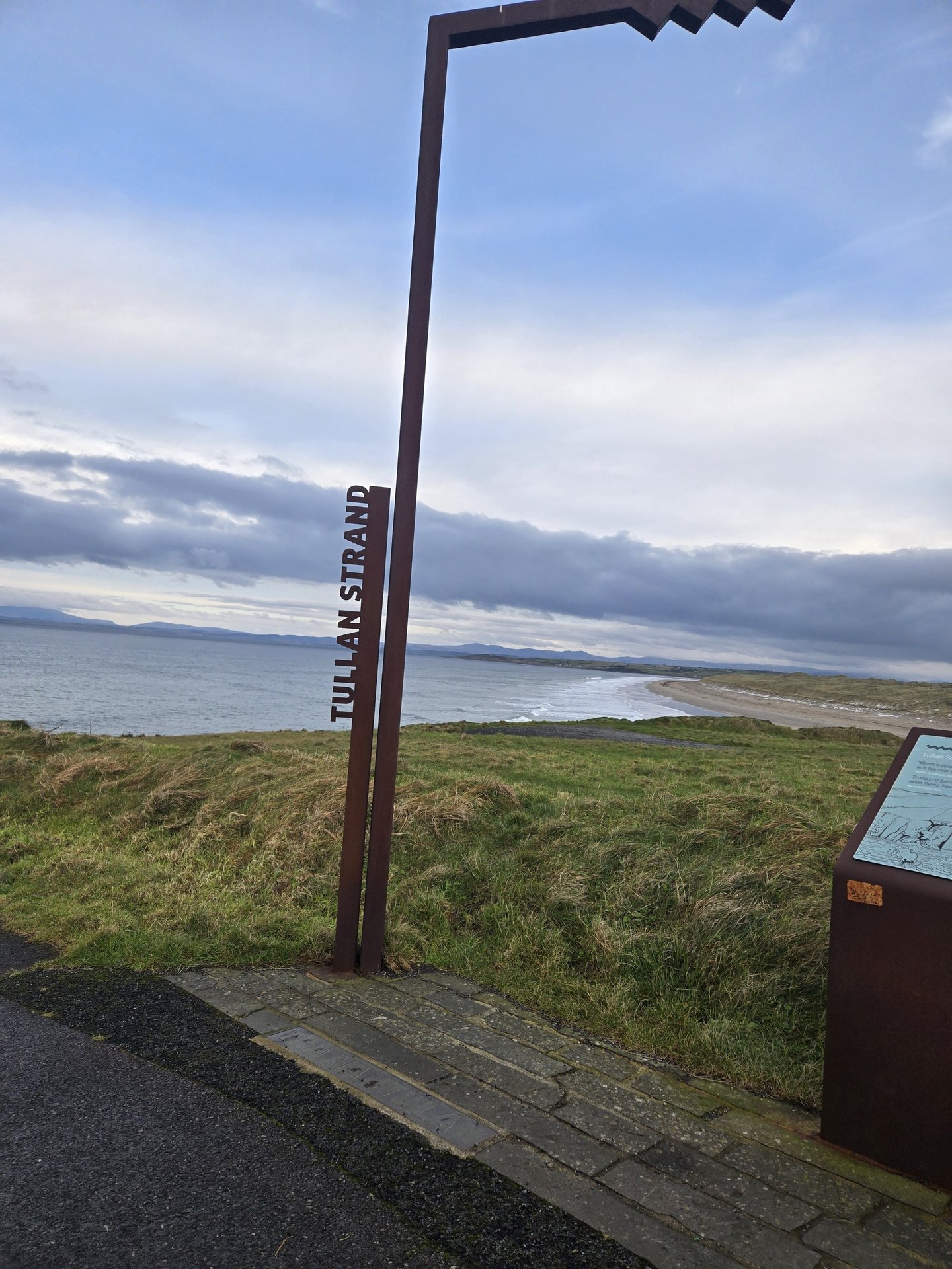
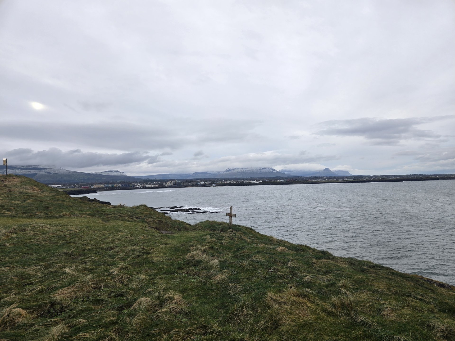
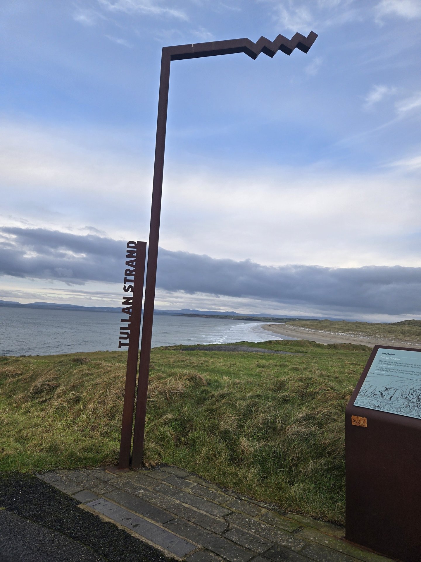
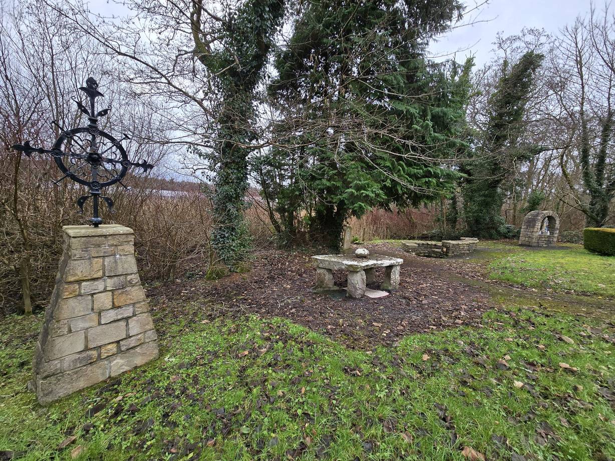
Day 5 journey of 393 km (244 miles) through Kinlough, County Leitrim, Rossinver East, County Sligo, Rossinver West, County Sligo and other locations. The route featured significant climbing with 4208 meters of elevation gain, traversing mountainous terrain. Documented with 32 photos.
Friday, January 3, 2025
Kinlough, County Leitrim
→
Rossinver East, County Sligo
→
Rossinver West, County Sligo
→
Carney, County Sligo
→
Drumcliff West, County Sligo
→
Sligo West, County Sligo
→
Kilmacowen, County Sligo
→
Collooney, County Sligo
→
Ballysadare West, County Sligo
→
Toberpatrick West, County Sligo
→
Aughris, County Sligo
→
Templeboy North, County Sligo
→
Dromore, County Sligo
→
Easky East, County Sligo
→
Easky West, County Sligo
→
Kilglass, County Sligo
→
Ardnaree North, County Mayo
→
Quay Village, County Mayo
→
Bearnadearg, County Mayo
→
Ballysakeery, County Mayo
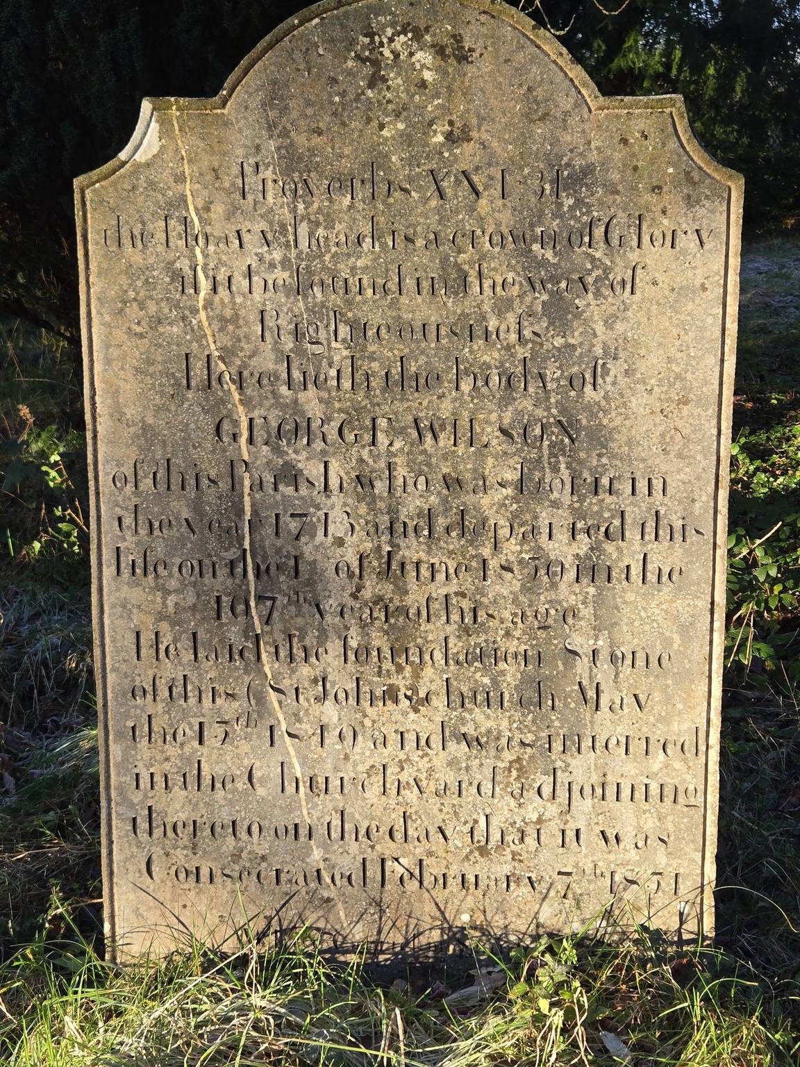
→
Rosserk Friary Graveyard
→
Killala, County Mayo
→
Ballycastle, County Mayo
→
Beldergmore, County Mayo
→
Barroosky, County Mayo
→
Glenamoy, County Mayo
→
Knocknalower, County Mayo
→
Muings, County Mayo
→
Glencastle, County Mayo
→
Belmullet, County Mayo
→
An Geata Mór Thuaidh, County Mayo
→
An Droim, County Mayo
→
Barrack South, County Mayo
→
Tiraun, County Mayo
→
Termon, County Mayo
→
Blacksod, County Mayo
→
Fallmore, County Mayo
→
Nakil, County Mayo
→
Aghleam, County Mayo
→
Elly, County Mayo
→
Lurgacloy, County Mayo
→
Bangor, County Mayo
→
Deel, County Mayo
→
Crossmolina North, County Mayo
→
Ardagh, County Mayo
→
Castleconor East, County Sligo
→
Owenbeg, County Sligo
→
Dromore West, County Sligo
→
Dromard East, County Sligo
→
Ballysadare East, County Sligo
→
Sligo, County Sligo
→
Drumcliff East, County Sligo
→
Glencar, County Sligo
→
Glencar, County Leitrim
→
Lurganboy, County Leitrim
→
Manorhamilton, County Leitrim
→
The Milestone
Day Statistics 393km • 290 photos
Distance
393.3 km
Duration
12.7 hrs
Elevation Gain
4207 m
Photos
32
🗺️ Route Map
📸 Photos (16 of 31)
Refresh page to see different photos
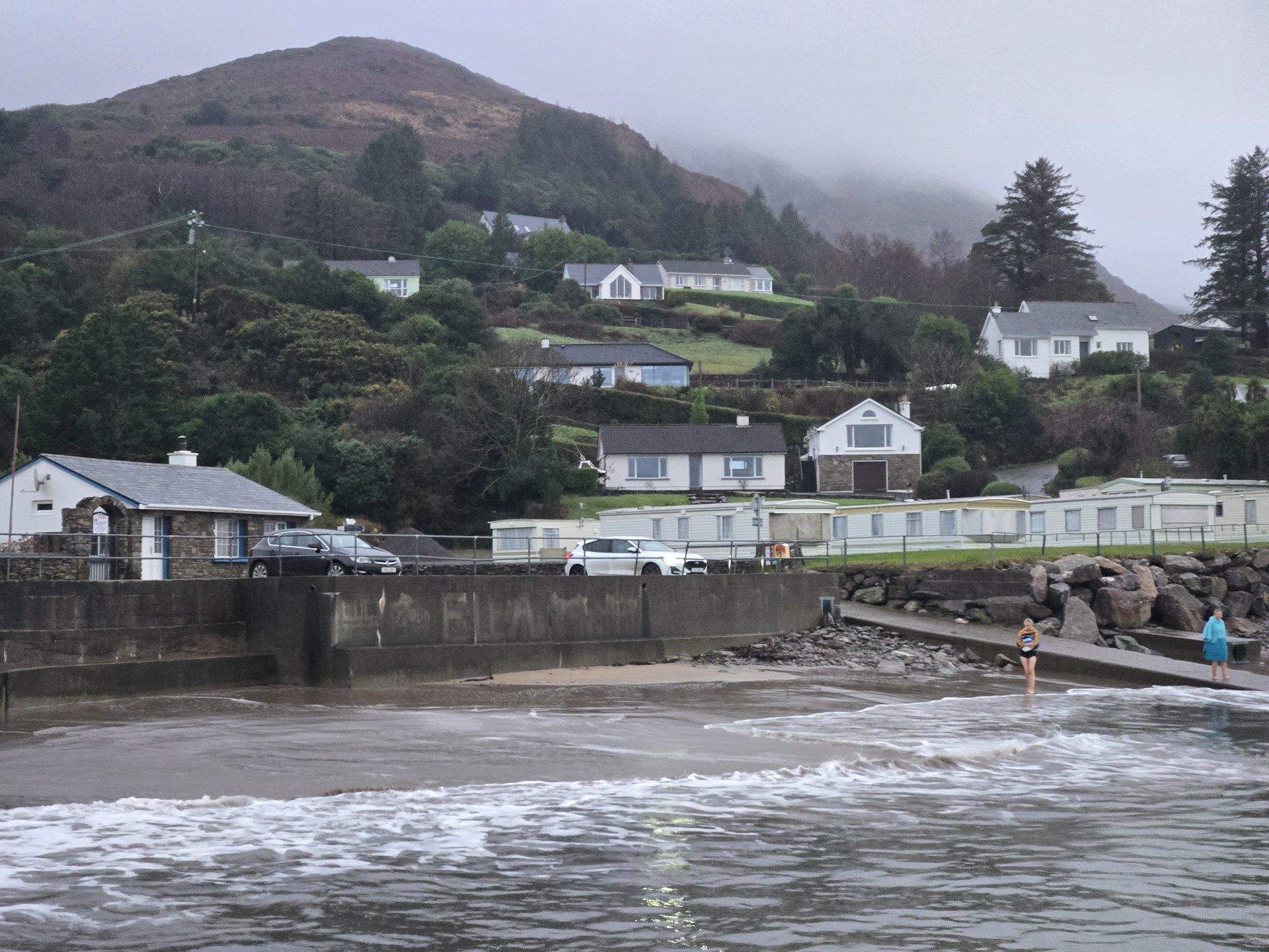
Day 6
Day 6 journey of 48 km (30 miles) through Gubacreeny, County Leitrim, Kinlough, County Leitrim, Buckode, County Leitrim, Ballaghameehan, County Leitrim. The journey included substantial elevation changes with 806 meters of ascent through rolling hills and coastal headlands. 7 photos captured along the route.
Saturday, January 4, 2025
Gubacreeny, County Leitrim
→
Kinlough, County Leitrim
→
Buckode, County Leitrim
→
Ballaghameehan, County Leitrim
Day Statistics 48km • 290 photos
Distance
48.5 km
Duration
2.5 hrs
Elevation Gain
806 m
Photos
7
🗺️ Route Map
📸 Photos

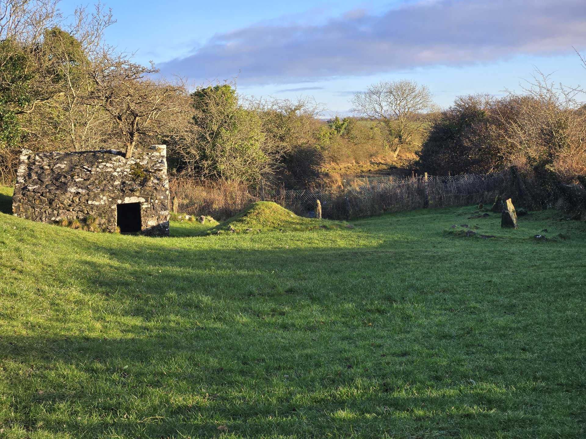
Day 7
Day 7 journey of 202 km (125 miles) through Kinlough, County Leitrim, Gubacreeny, County Leitrim, Tullaghan, County Leitrim and other locations. The route featured significant climbing with 2325 meters of elevation gain, traversing mountainous terrain. 11 photos captured along the route.
Sunday, January 5, 2025
Kinlough, County Leitrim
→
Gubacreeny, County Leitrim
→
Tullaghan, County Leitrim
→
Cliffony North, County Sligo
→
Rossinver East, County Sligo
→
Rossinver West, County Sligo
→
Carney, County Sligo
→
Drumcliff East, County Sligo
→
Sligo North, County Sligo
→
Cornageeha, County Sligo
→
Kilmacowen, County Sligo
→
Collooney, County Sligo
→
Ballynakill, County Sligo
→
Shancough, County Sligo
→
Ballynashee, County Sligo
→
Ballyfarnan, County Roscommon
→
Keadew, County Roscommon
→
Oakport, County Roscommon
→
Rockingham, County Roscommon
→
Danesfort, County Roscommon
→
Carrick on Shannon, County Leitrim
→
Gowel, County Leitrim
→
Leitrim, County Leitrim
→
Drumshanbo, County Leitrim
→
Barnameenagh, County Leitrim
→
Yugan, County Leitrim
→
Dowra, County Cavan
→
Killinagh, County Cavan
→
Eskey, County Cavan
→
Cloonclare, County Leitrim
→
Munakill, County Leitrim
→
Manorhamilton, County Leitrim
→
Lurganboy, County Leitrim
→
Glenade, County Leitrim
→
Aghalateeve, County Leitrim
Day Statistics 202km • 290 photos
Distance
201.6 km
Duration
6.8 hrs
Elevation Gain
2324 m
Photos
11
🗺️ Route Map
📸 Photos
Day 8
Day 8 journey of 192 km (120 miles) through Kinlough, County Leitrim, Gubacreeny, County Leitrim, Ballintra, County Donegal and other locations. The route featured significant climbing with 2531 meters of elevation gain, traversing mountainous terrain. 10 photos captured along the route.
Monday, January 6, 2025
Kinlough, County Leitrim
→
Gubacreeny, County Leitrim
→
Ballintra, County Donegal
→
Laghy, County Donegal
→
Donegal, County Donegal
→
Bonnyglen, County Donegal
→
Inver, County Donegal
→
Corkermore, County Donegal
→
Dunkineely, County Donegal
→
Killybegs, County Donegal
→
Tieveskeelta, County Donegal
→
Crownarad, County Donegal
→
Turris Hill, County Donegal
→
Cavangarden, County Donegal
Day Statistics 192km • 290 photos
Distance
192.4 km
Duration
6.9 hrs
Elevation Gain
2531 m
Photos
10
🗺️ Route Map
📸 Photos
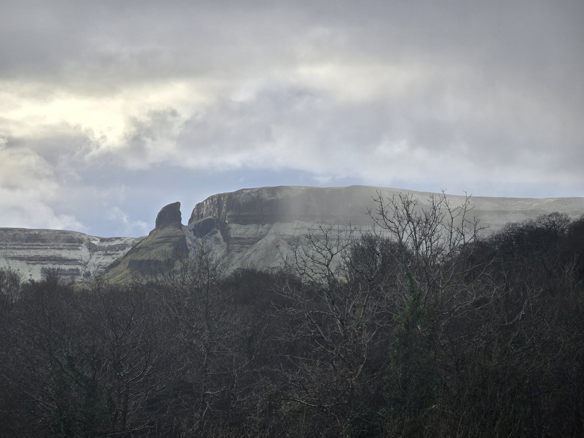
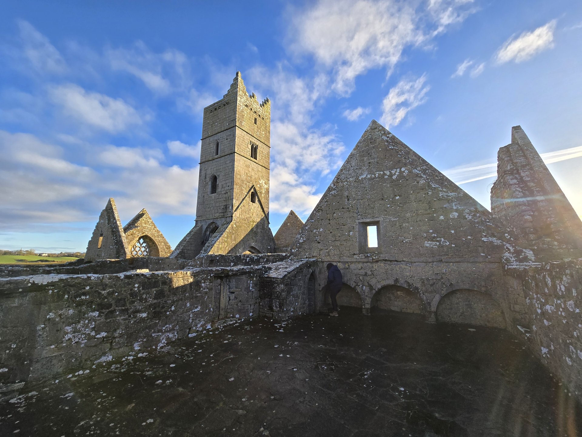
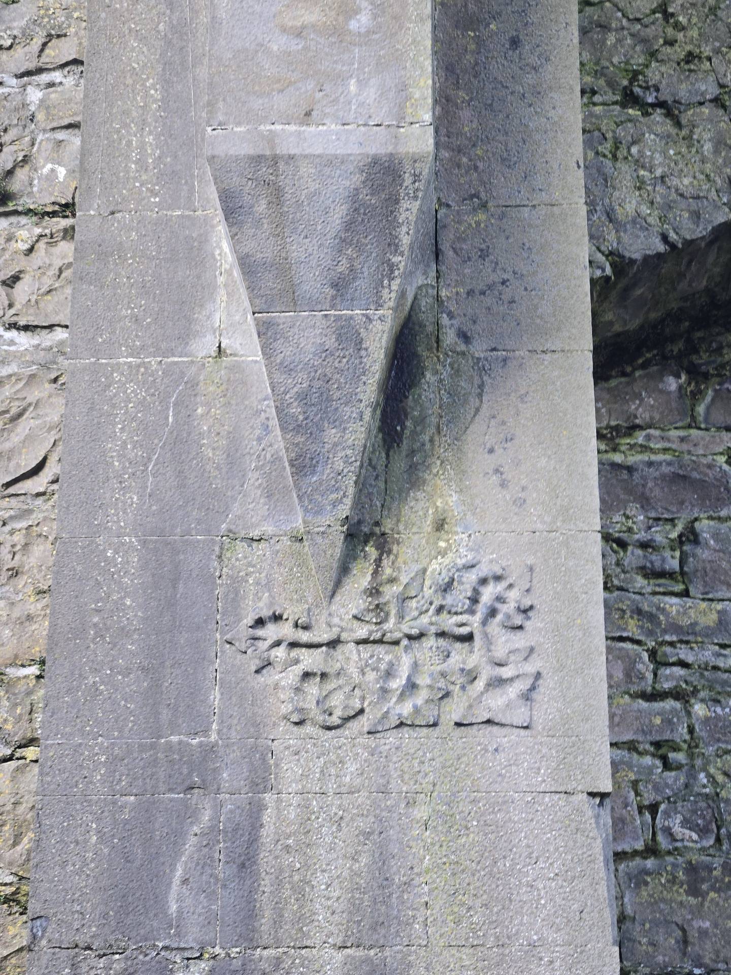
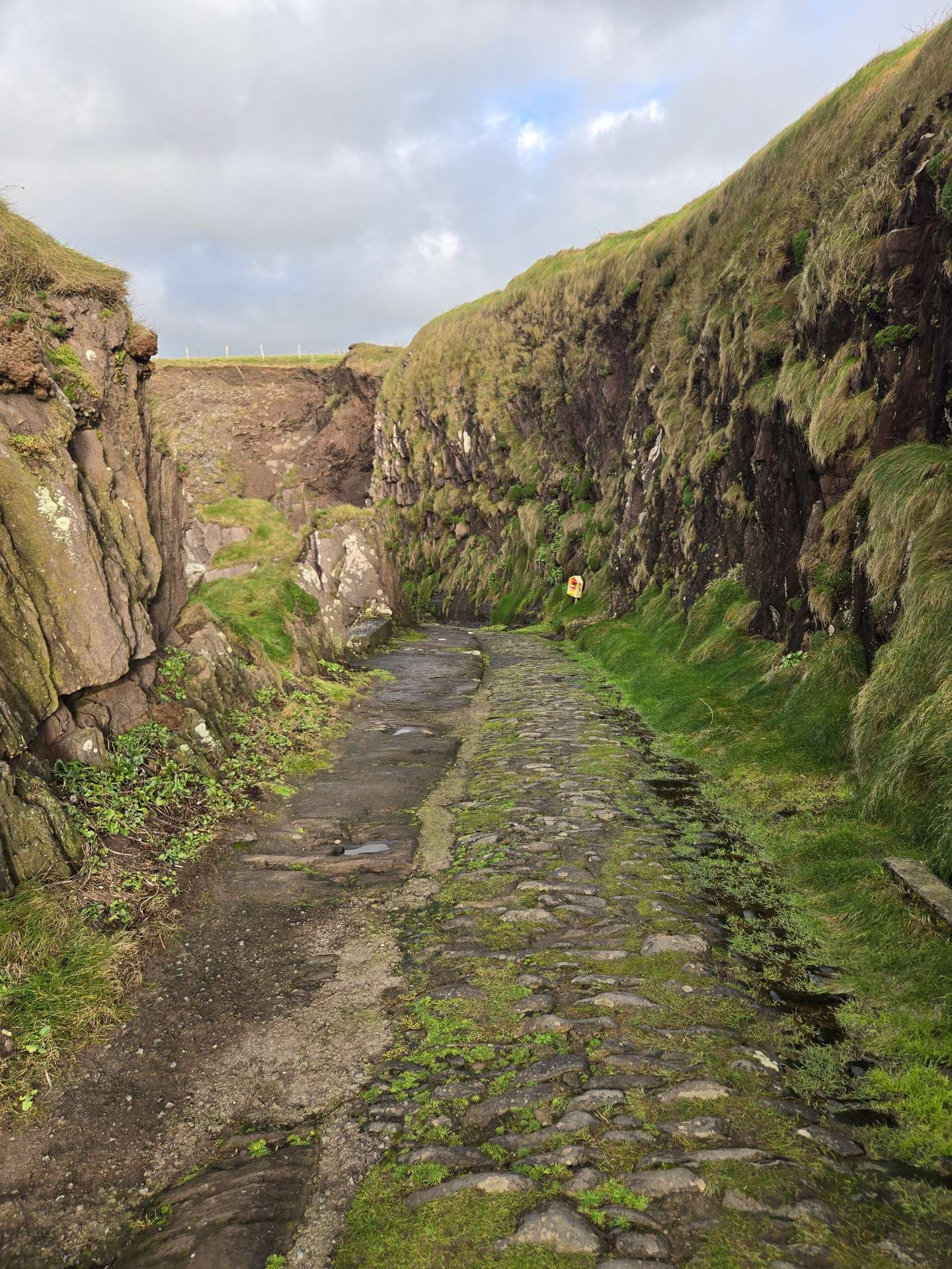
Day 9
Day 9 journey of 96 km (60 miles) through Rossinver East, County Sligo, Cliffony North, County Sligo, Cliffony South, County Sligo and other locations. The journey included substantial elevation changes with 1428 meters of ascent through rolling hills and coastal headlands. 33 photos captured throughout the day.
Tuesday, January 7, 2025
Rossinver East, County Sligo
→
Cliffony North, County Sligo
→
Cliffony South, County Sligo
→
Streedagh, County Sligo
→
Lissadill East, County Sligo
→
Maugherow, County Sligo
→
Lissadill North, County Sligo
→
Rossinver West, County Sligo
Day Statistics 96km • 290 photos
Distance
96.4 km
Duration
3.6 hrs
Elevation Gain
1427 m
Photos
33
🗺️ Route Map
📸 Photos (16 of 32)
Refresh page to see different photos
Day 10
Day 10 journey of 321 km (199 miles) through Aghalateeve, County Leitrim, Glenade, County Leitrim, Lurganboy, County Leitrim and other locations. The route featured significant climbing with 2983 meters of elevation gain, traversing mountainous terrain. The day yielded 23 photographs.
Wednesday, January 8, 2025
Aghalateeve, County Leitrim
→
Glenade, County Leitrim
→
Lurganboy, County Leitrim
→
Manorhamilton, County Leitrim
→
Cloonlogher, County Leitrim
→
Belhavel, County Leitrim
→
Drumkeeran, County Leitrim
→
Saint Patrick's, County Leitrim
→
Aghafin, County Roscommon
→
Drumshanbo, County Leitrim
→
Leitrim, County Leitrim
→
Gowel, County Leitrim
→
Drumsna, County Leitrim
→
Annaduff, County Leitrim
→
Roosky, County Leitrim
→
Newtown Forbes, County Longford
→
Deerpark, County Longford
→
Lamagh, County Longford
→
Lisnamuck, County Longford
→
Feraghfad, County Longford
→
Ardagh West, County Longford
→
Kilglass, County Longford
→
Tennalick, County Longford
→
Rath, County Longford
→
Templepatrick, County Westmeath
→
Ballymorin, County Westmeath
→
Churchtown, County Westmeath
→
Castletown, County Westmeath
→
Ballynagore, County Westmeath
→
Kilbeggan, County Westmeath
→
Cappancur, County Offaly
→
Killeigh, County Offaly
→
Graigue, County Laois
→
Portlaoise, County Laois
→
Corbally Cross, County Laois
→
Abbeyleix, County Laois
→
Castlewood Cross, County Laois
→
Durrow, County Laois
→
Ballyragget, County Kilkenny
→
Kilmacar, County Kilkenny
→
Odagh, County Kilkenny
→
Hennebry's Cross, County Kilkenny
→
Dunmore, County Kilkenny
→
Kilkenny, County Kilkenny
→
Dunbell, County Kilkenny
→
Bennettsbridge, County Kilkenny
→
Kells, County Kilkenny
→
Dunnamaggan, County Kilkenny
→
Aghaviller, County Kilkenny
→
Boolyglass, County Kilkenny
→
Templeorum, County Kilkenny
→
Pilltown, County Kilkenny
→
Portlaw, County Waterford
→
Kilmeadan, County Waterford
→
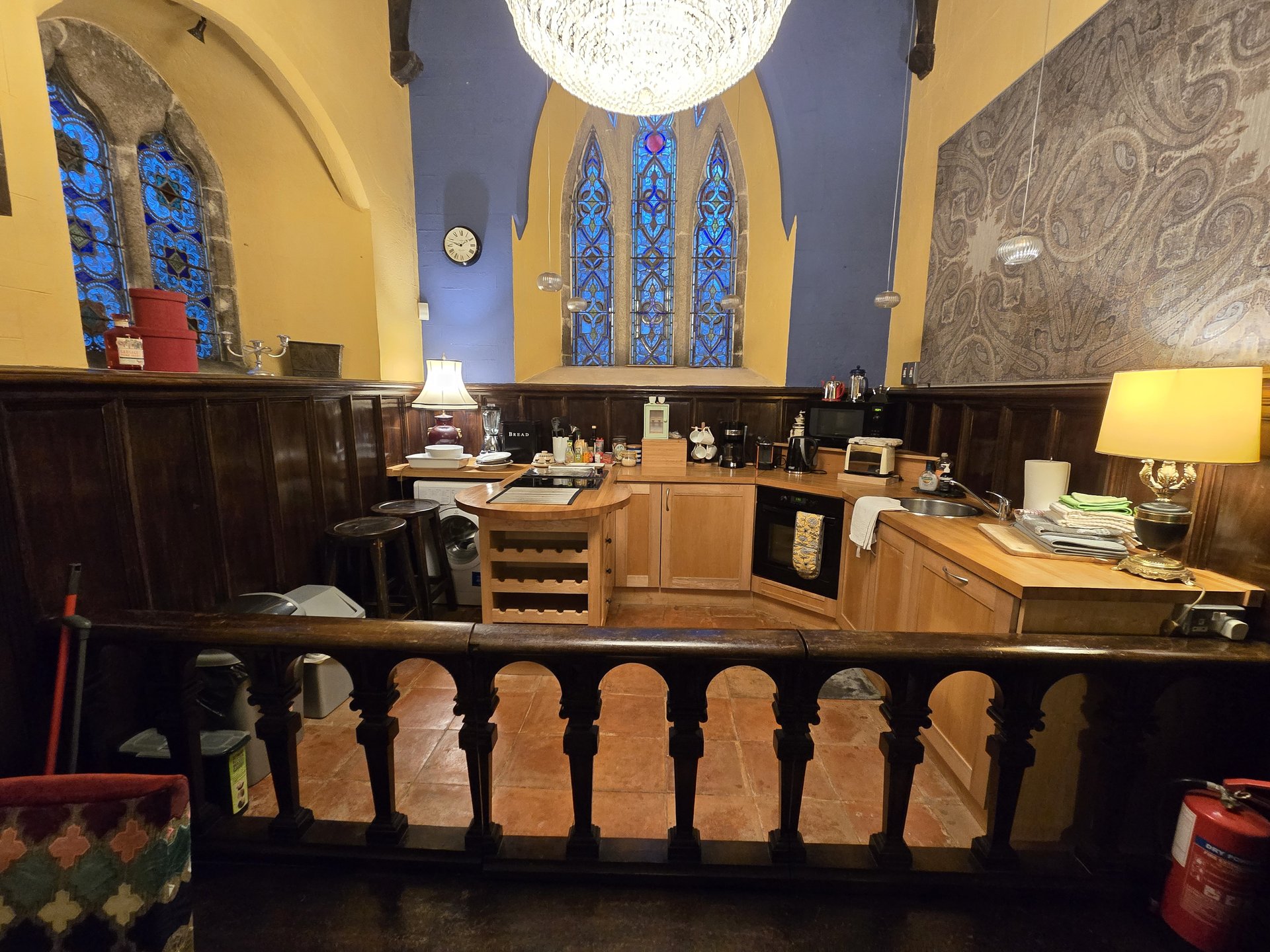
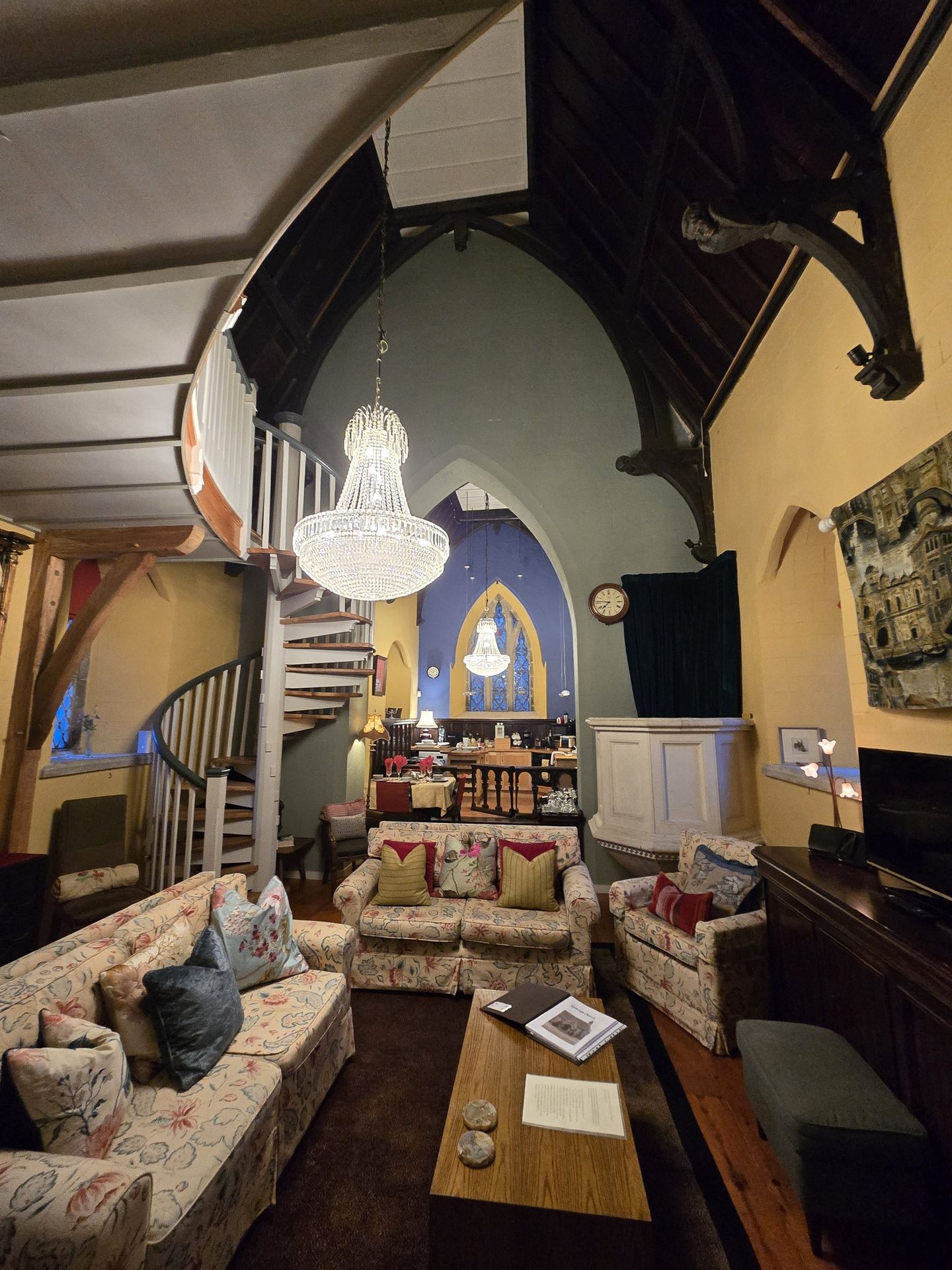
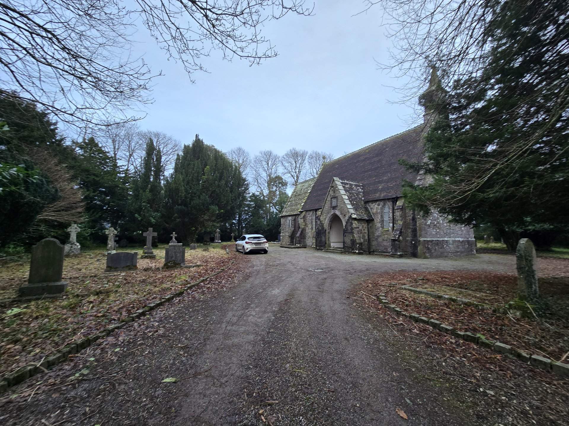
St. John's Church
→
Reisk, County Waterford
→
Old Kilmeadan, County Waterford
Day Statistics 321km • 290 photos
Distance
321.1 km
Duration
8.6 hrs
Elevation Gain
2982 m
Photos
23
🗺️ Route Map
📸 Photos (16 of 19)
Refresh page to see different photos
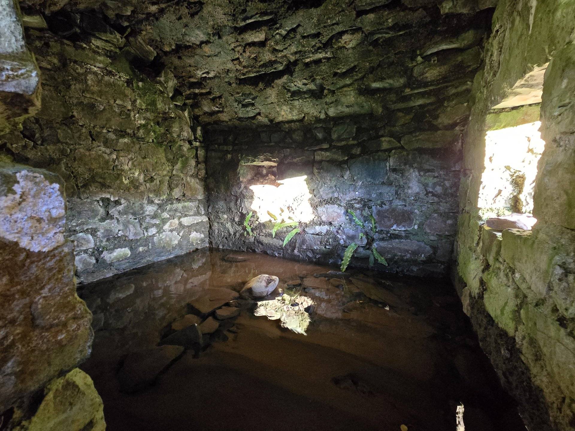
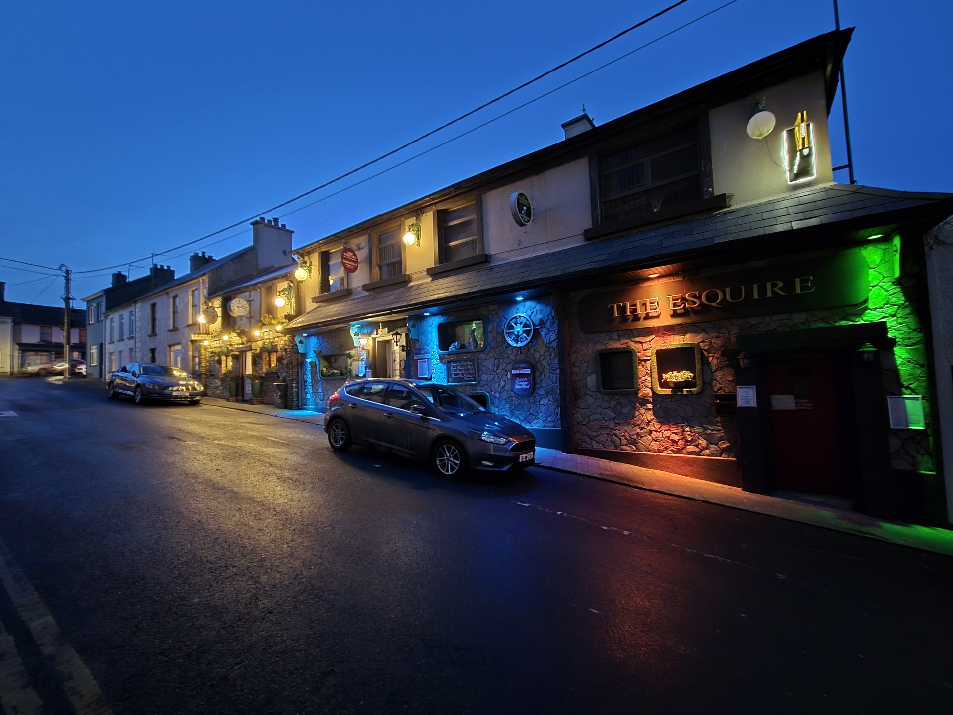
Day 11
Day 11 journey of 98 km (61 miles) through Portlaw, County Waterford, Fenoagh, County Waterford, Kilmeadan, County Waterford and other locations. The route featured significant climbing with 1899 meters of elevation gain, traversing mountainous terrain. 16 photos captured along the route.
Thursday, January 9, 2025
Portlaw, County Waterford
→
Fenoagh, County Waterford
→
Kilmeadan, County Waterford
→
Old Kilmeadan, County Waterford
→
Reisk, County Waterford
→
Carriganore, County Waterford
→
Kilbarry, County Waterford
→
Drumcannon, County Waterford
→
Kilmacleague, County Waterford
→
Rathmoylan, County Waterford
→
Killea, County Waterford
→
Tramore, County Waterford
→
Islandikane, County Waterford
→
Fenor, County Waterford
→
Annestown, County Waterford
→
Pembrokestown, County Waterford
→
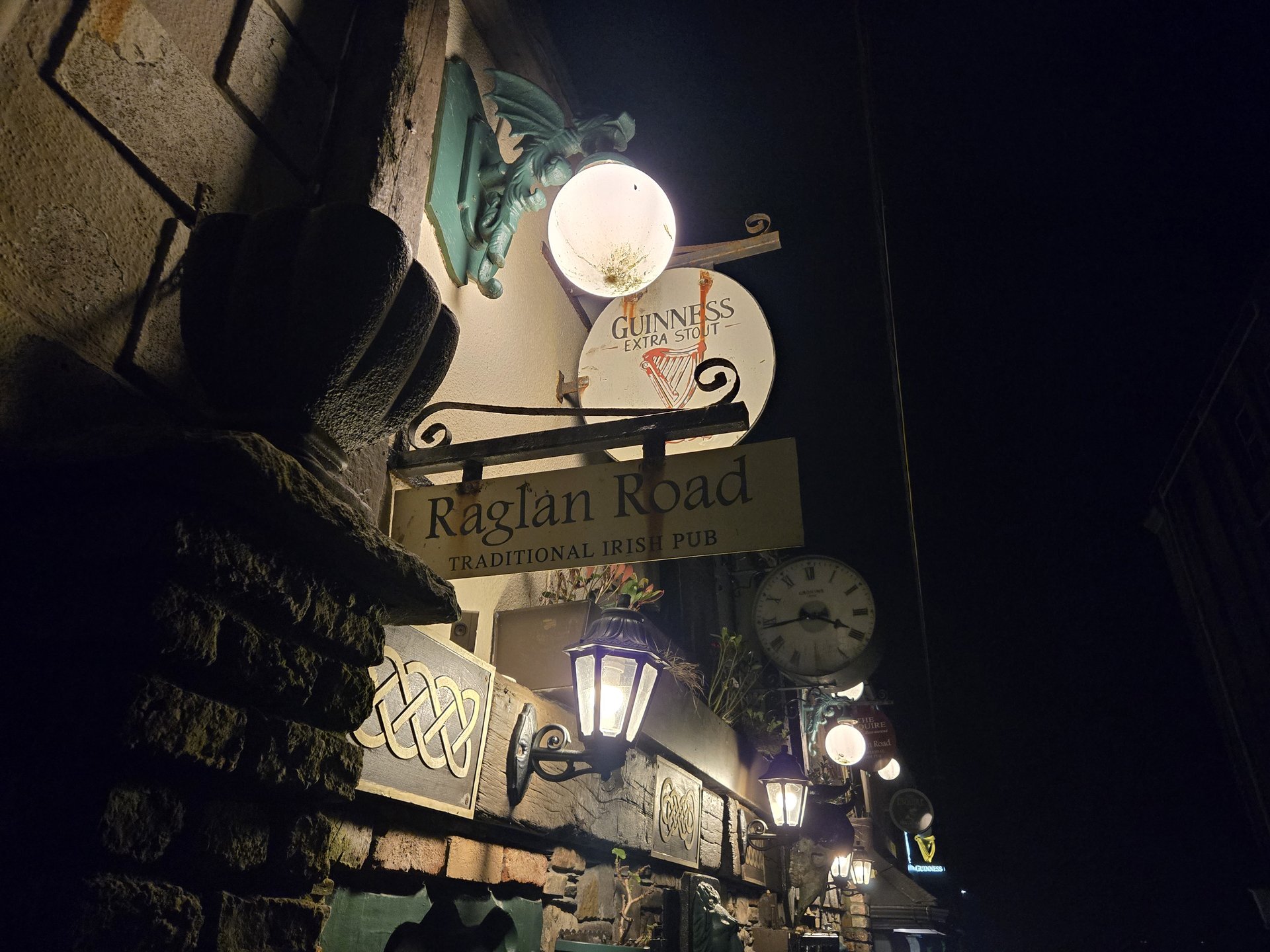
The Esquire
Day Statistics 98km • 290 photos
Distance
97.8 km
Duration
7.0 hrs
Elevation Gain
1899 m
Photos
16
🗺️ Route Map
📸 Photos
Day 12
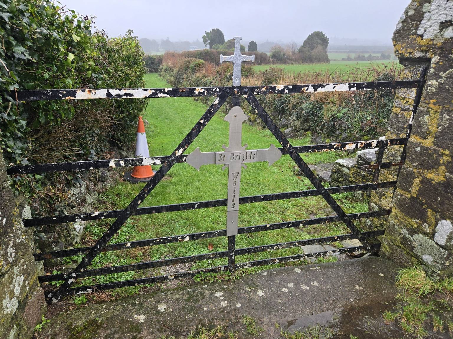
Day 12 journey of 102 km (63 miles) through Kilmeadan, County Waterford, Newtown, County Waterford, Kilmacthomas, County Waterford and other locations. The route featured significant climbing with 1994 meters of elevation gain, traversing mountainous terrain with 4 photos.
Friday, January 10, 2025
Kilmeadan, County Waterford
→
Newtown, County Waterford
→
Kilmacthomas, County Waterford
→
Ní Bhrian Restaurant
→
Fox’s Castle, County Waterford
→
Clonea, County Waterford
→
Mountkennedy, County Waterford
→
Tinnasaggart, County Waterford
→
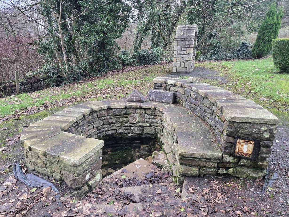
St. Brigid's Holy Well
→
Comeragh, County Waterford
→
Old Kilmeadan, County Waterford
→
Killoteran, County Waterford
→
Ballynaneashagh, County Waterford
→
Gracedieu, County Waterford
→
Ferrybank, County Waterford
→
Custom House B, County Waterford
→
O'Briens
→
Ticor North, County Waterford
→
Portlaw, County Waterford
Day Statistics 102km • 290 photos
Distance
101.5 km
Duration
9.8 hrs
Elevation Gain
1994 m
Photos
4
🗺️ Route Map
📸 Photos
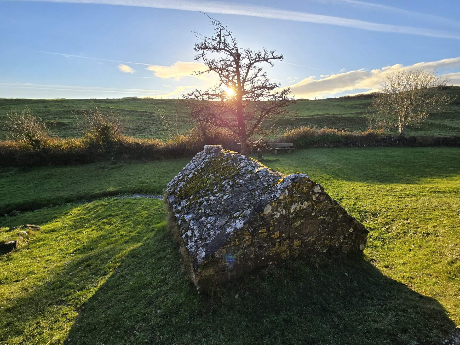
Day 13
Day 13 journey of 70 km (43 miles) through St. John's Church, Kilmeadan, County Waterford, Portlaw, County Waterford and other locations. The journey included substantial elevation changes with 1465 meters of ascent through rolling hills and coastal headlands with 2 photos.
Saturday, January 11, 2025
St. John's Church
→
Kilmeadan, County Waterford
→
Portlaw, County Waterford
→
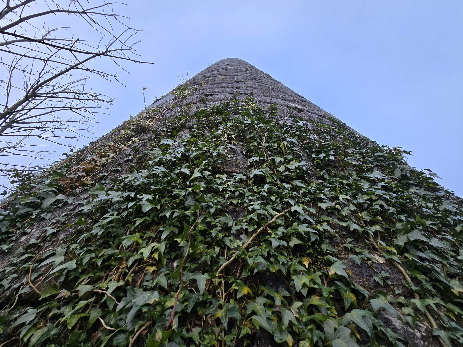
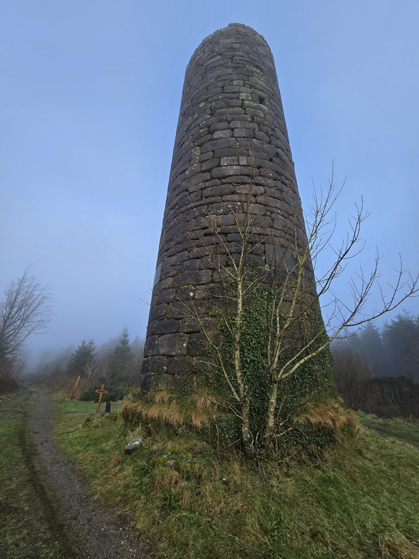
Clonagam Round Tower
→
Fenoagh, County Waterford
→
Mothel, County Waterford
→
Ross, County Waterford
→
Ballydurn, County Waterford
→
Fews, County Waterford
→
Comeragh, County Waterford
→
Kilmacthomas, County Waterford
→
Newtown, County Waterford
→
Ballyduff, County Waterford
Day Statistics 70km • 290 photos
Distance
69.7 km
Duration
2.9 hrs
Elevation Gain
1465 m
Photos
2
🗺️ Route Map
📸 Photos
Day 14
Day 14 journey of 330 km (205 miles) through Kilmeadan, County Waterford, Clonea, County Waterford, Ross, County Waterford and other locations. The route featured significant climbing with 3832 meters of elevation gain, traversing mountainous terrain with 1 photos.
Monday, January 13, 2025
Kilmeadan, County Waterford
→
Clonea, County Waterford
→
Ross, County Waterford
→
Gurteen, County Waterford
→
Inishlounaght, County Tipperary
→
Kilmacomma, County Waterford
→
Ballymacarbry, County Waterford
→
Fourmilewater, County Waterford
→
Graignagower, County Waterford
→
Seskinan, County Waterford
→
Colligan, County Waterford
→
Ardmore, County Waterford
→
Grange, County Waterford
→
Pilltown, County Waterford
→
Clonpriest, County Cork
→
Killeagh, County Cork
→
Castlemartyr, County Cork
→
Carrigtohill, County Cork
→
Courtstown, County Cork
→
Mahon B, County Cork
→
Curraghconway, County Cork
→
Ballincollig, County Cork
→
Ovens, County Cork
→
Aglish, County Cork
→
Warrenscourt, County Cork
→
Mashanaglass, County Cork
→
Macloneigh, County Cork
→
Ullanes, County Cork
→
Slievereagh, County Cork
→
Clydagh, County Kerry
→
Brewsterfield, County Kerry
→
Flesk, County Kerry
→
Oakwood Retirement Village, County Kerry
→
Gortroe, County Kerry
→
Lahard, County Kerry
→
Kilbonane, County Kerry
→
Dromin, County Kerry
→
Killorglin, County Kerry
→
Caragh, County Kerry
→
Glanbehy, County Kerry
→
Killinane, County Kerry
→
Castlequin, County Kerry
→
Caher, County Kerry
Day Statistics 330km • 290 photos
Distance
330.4 km
Duration
12.2 hrs
Elevation Gain
3832 m
Photos
1
🗺️ Route Map
📸 Photos
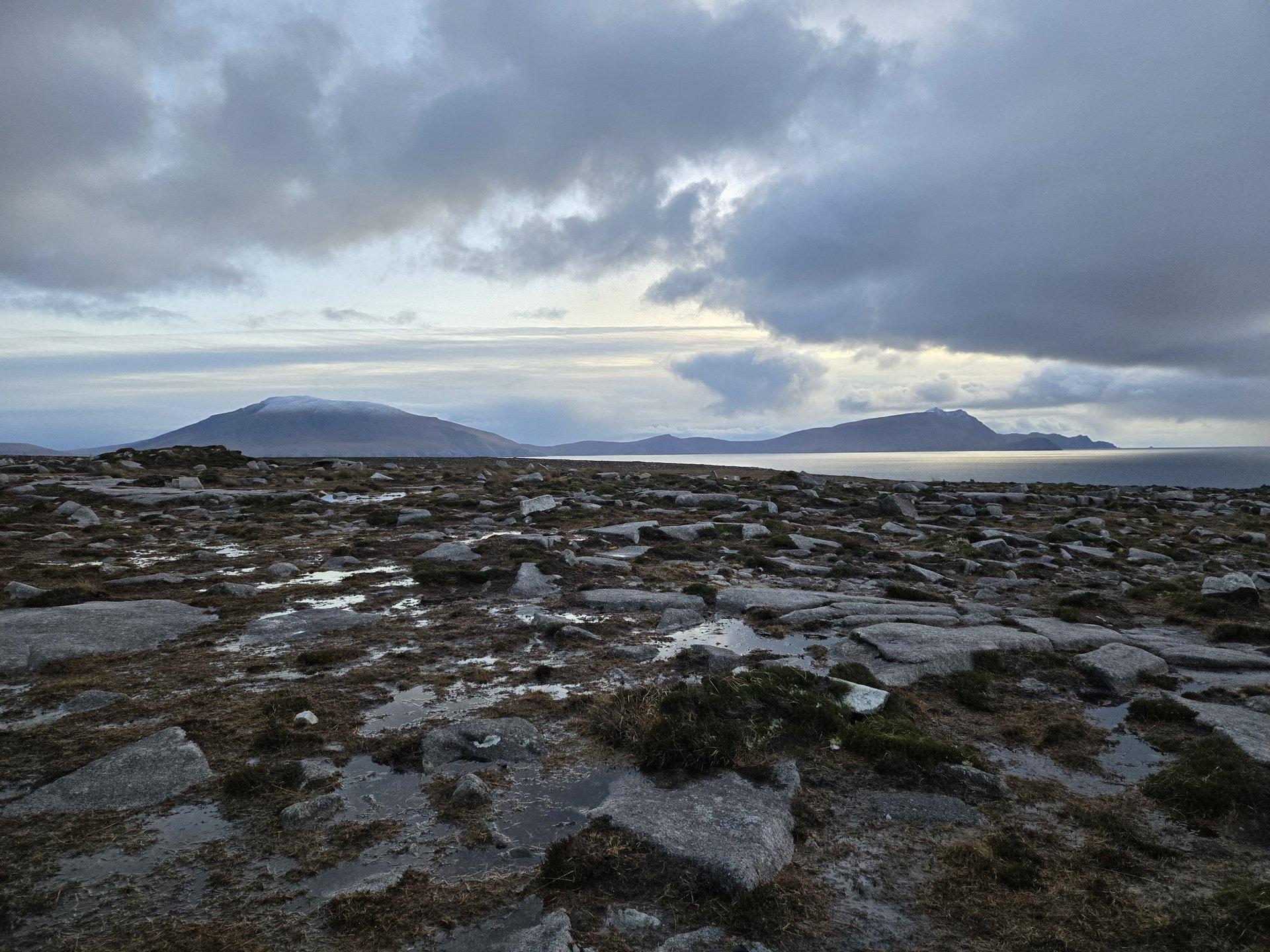
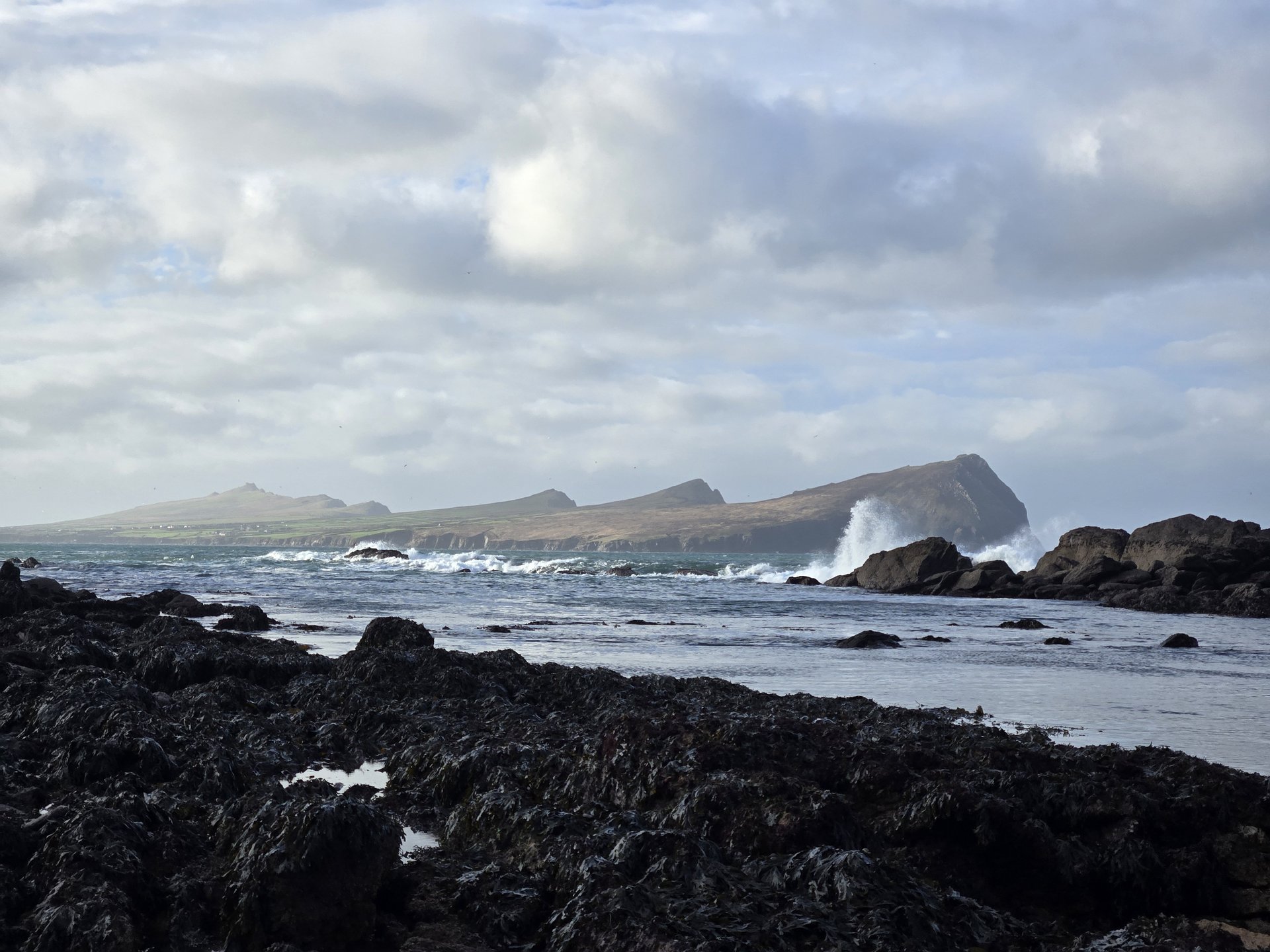
Day 15
Day 15 journey of 108 km (67 miles) through Killinane, County Kerry, Castlequin, County Kerry, Caher, County Kerry and other locations. The route featured significant climbing with 1644 meters of elevation gain, traversing mountainous terrain. 16 photos captured along the route.
Tuesday, January 14, 2025
Killinane, County Kerry
→
Castlequin, County Kerry
→
Caher, County Kerry
→
Teeranearagh, County Kerry
→
Portmagee, County Kerry
→
Valencia, County Kerry
→
Saint Finan's, County Kerry
→
Ballinskelligs, County Kerry
→
Emlagh, County Kerry
→
Loughcurrane, County Kerry
→
Darrynane, County Kerry
→
Ballybrack, County Kerry
→
ESB Electric Vehicle Charge Point
Day Statistics 108km • 290 photos
Distance
108.4 km
Duration
3.3 hrs
Elevation Gain
1644 m
Photos
16
🗺️ Route Map
📸 Photos
Day 16
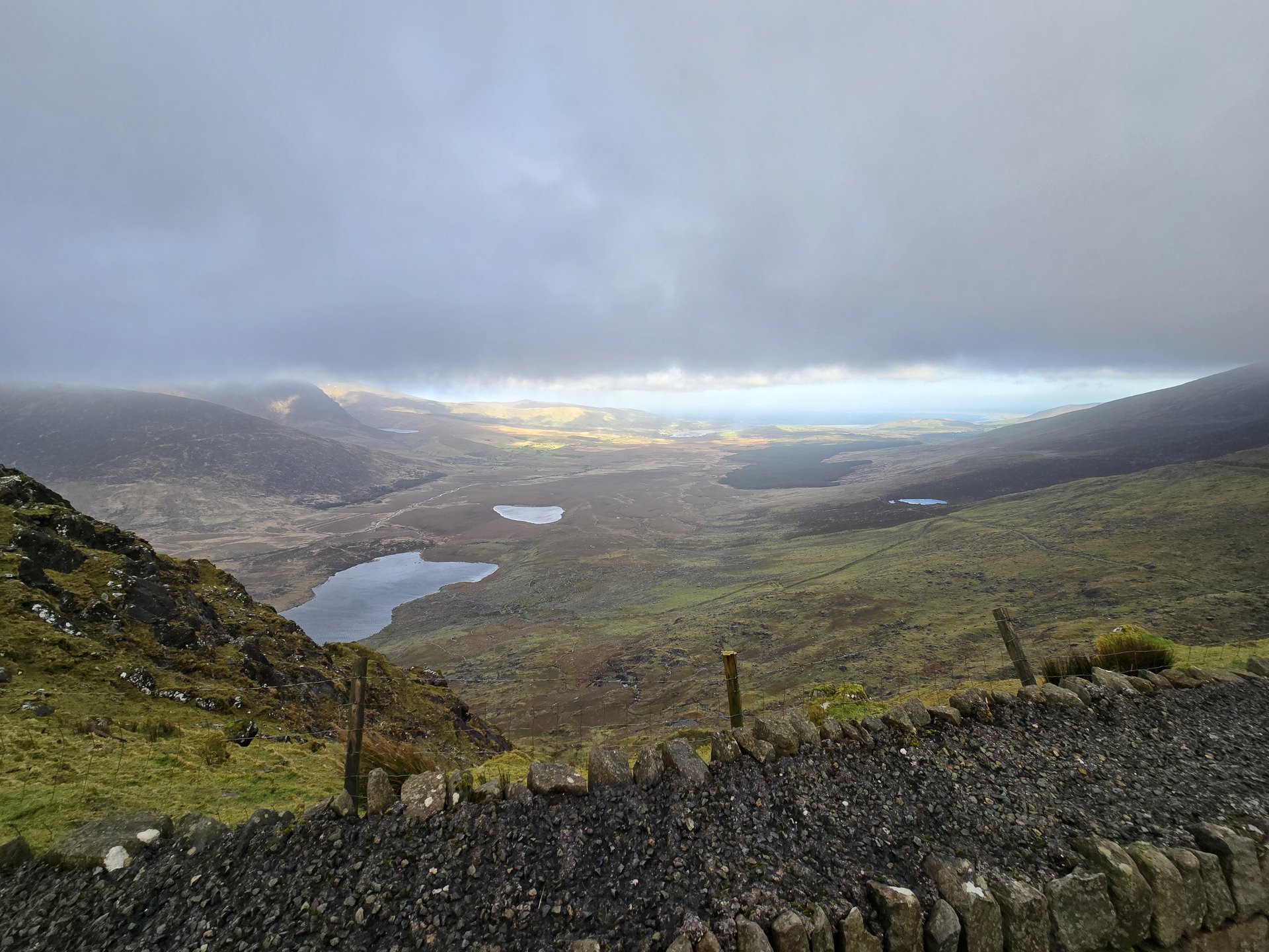
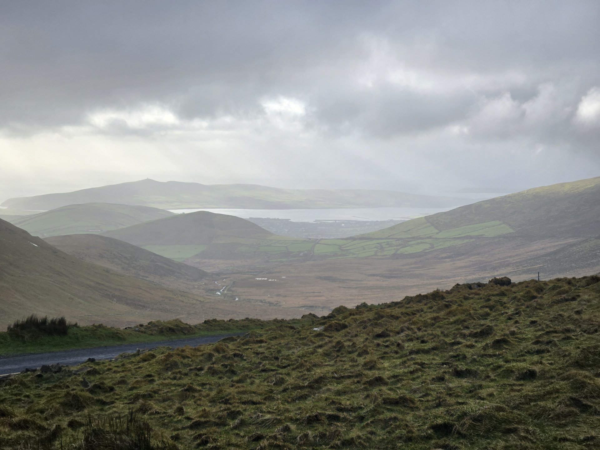
Day 16 journey of 253 km (157 miles) through Killinane, County Kerry, Glanbehy, County Kerry, Caragh, County Kerry and other locations. The route featured significant climbing with 3501 meters of elevation gain, traversing mountainous terrain. The day yielded 39 photographs.
Wednesday, January 15, 2025
Killinane, County Kerry
→
Glanbehy, County Kerry
→
Caragh, County Kerry
→
Killorglin, County Kerry
→
Milltown, County Kerry
→
Boolteens, County Kerry
→
Kilgarrylander, County Kerry
→
Lack, County Kerry
→
Inch, County Kerry
→
Ballinvoher, County Kerry
→
Ballynacourty, County Kerry
→
Minard, County Kerry
→
Marina Inn
→
Ballymore, County Kerry
→
Toghroinn ceantair Ceann Trá, County Kerry
→
Toghroinn ceantair Dún Chaoin, County Kerry
→
Dunurlin, County Kerry
→
Marhin, County Kerry
→
Kilmalkedar, County Kerry
→
Kilquane, County Kerry
→
Feohanagh, County Kerry
→
Ballinduff, County Kerry
→
Stradbally, County Kerry
→
Castlegregory, County Kerry
→
Deelis, County Kerry
→
Knockglass, County Kerry
→
Baurtregaum, County Kerry
→
Blennerville, County Kerry
→
Gally's Bar and Restaurant
→
Ballyseedy, County Kerry
→
Kilnanare, County Kerry
→
Kiltallagh, County Kerry
Day Statistics 253km • 290 photos
Distance
253.0 km
Duration
8.7 hrs
Elevation Gain
3500 m
Photos
39
🗺️ Route Map
📸 Photos (16 of 39)
Refresh page to see different photos
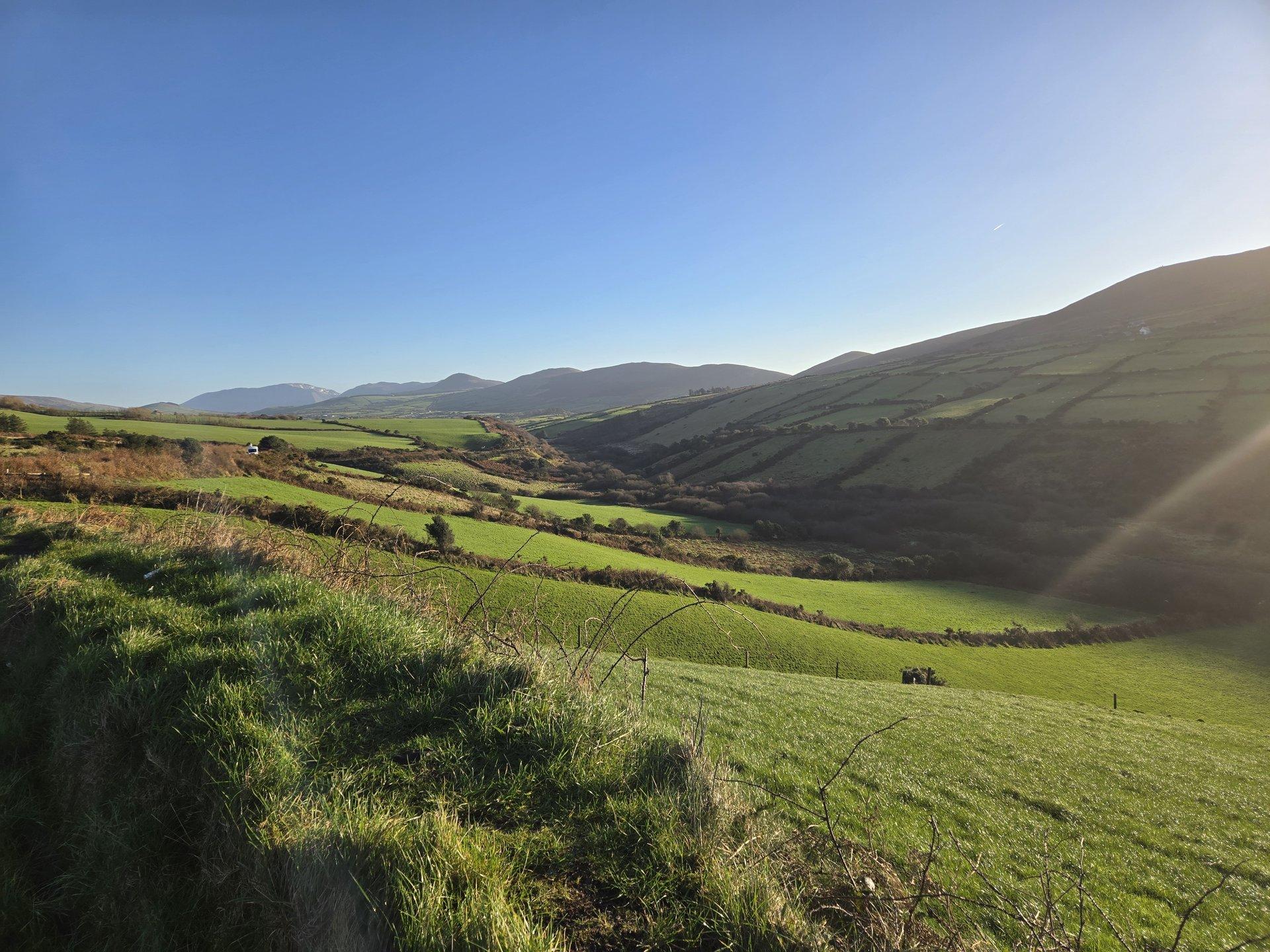
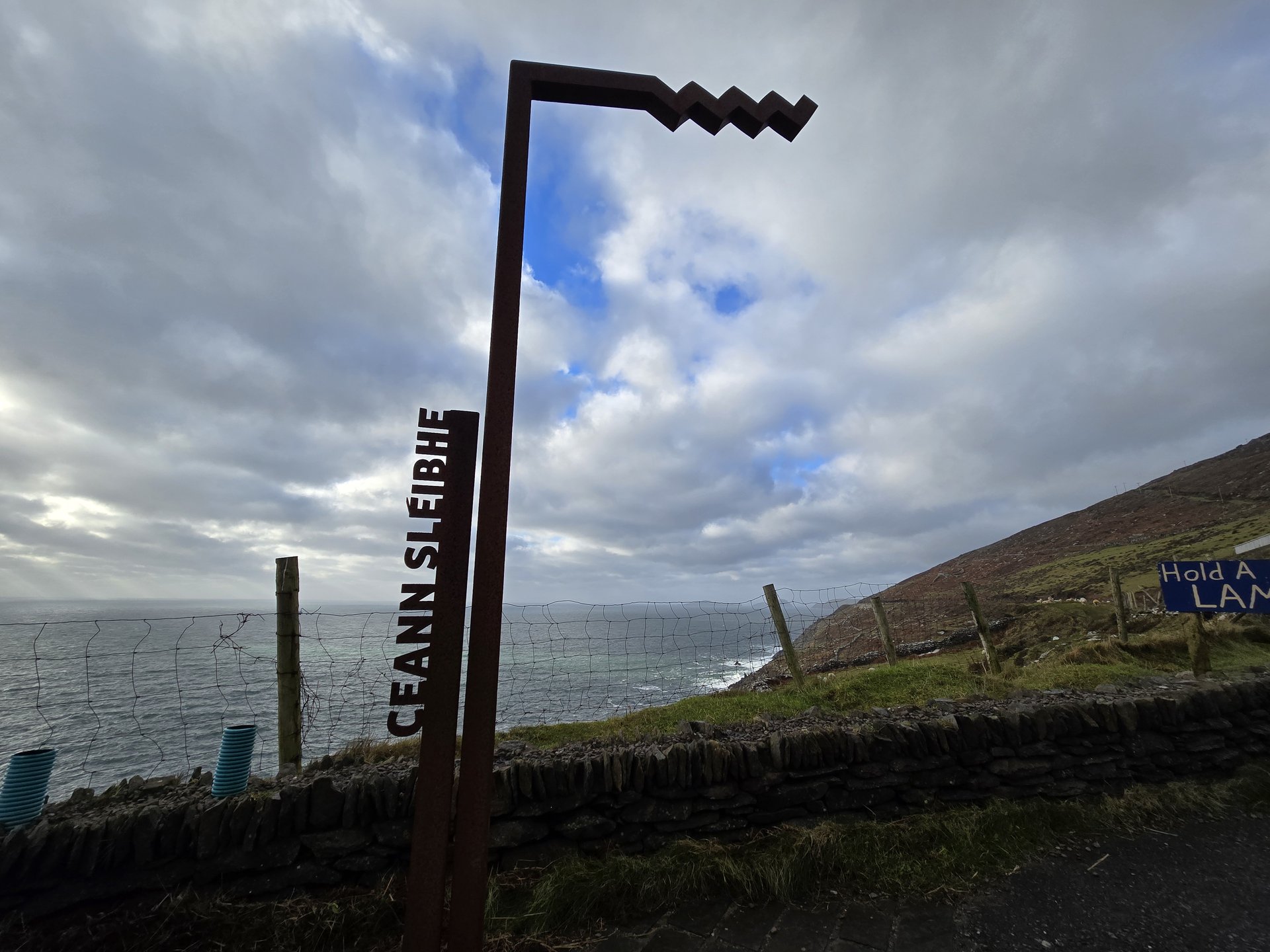
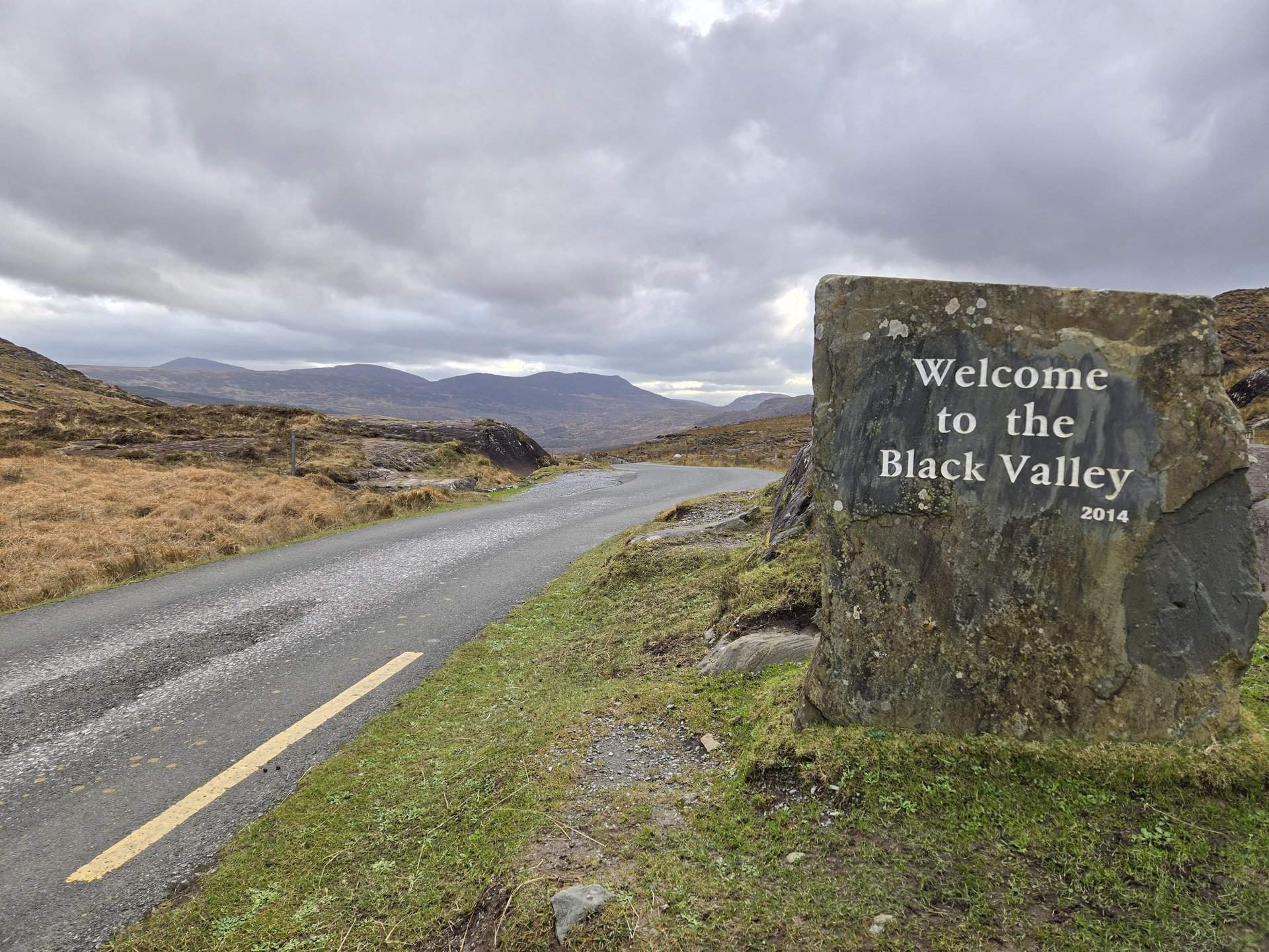
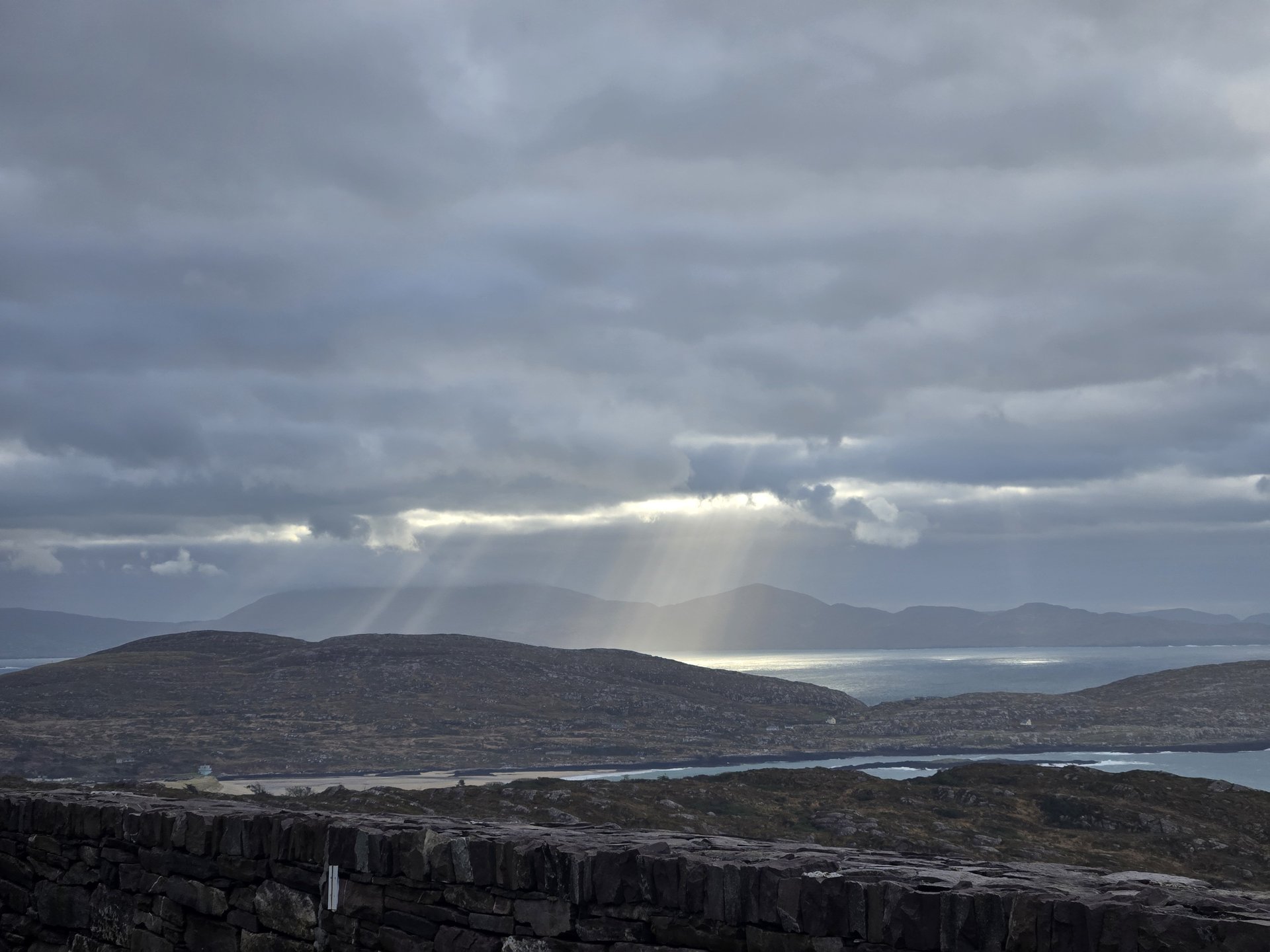
Day 17
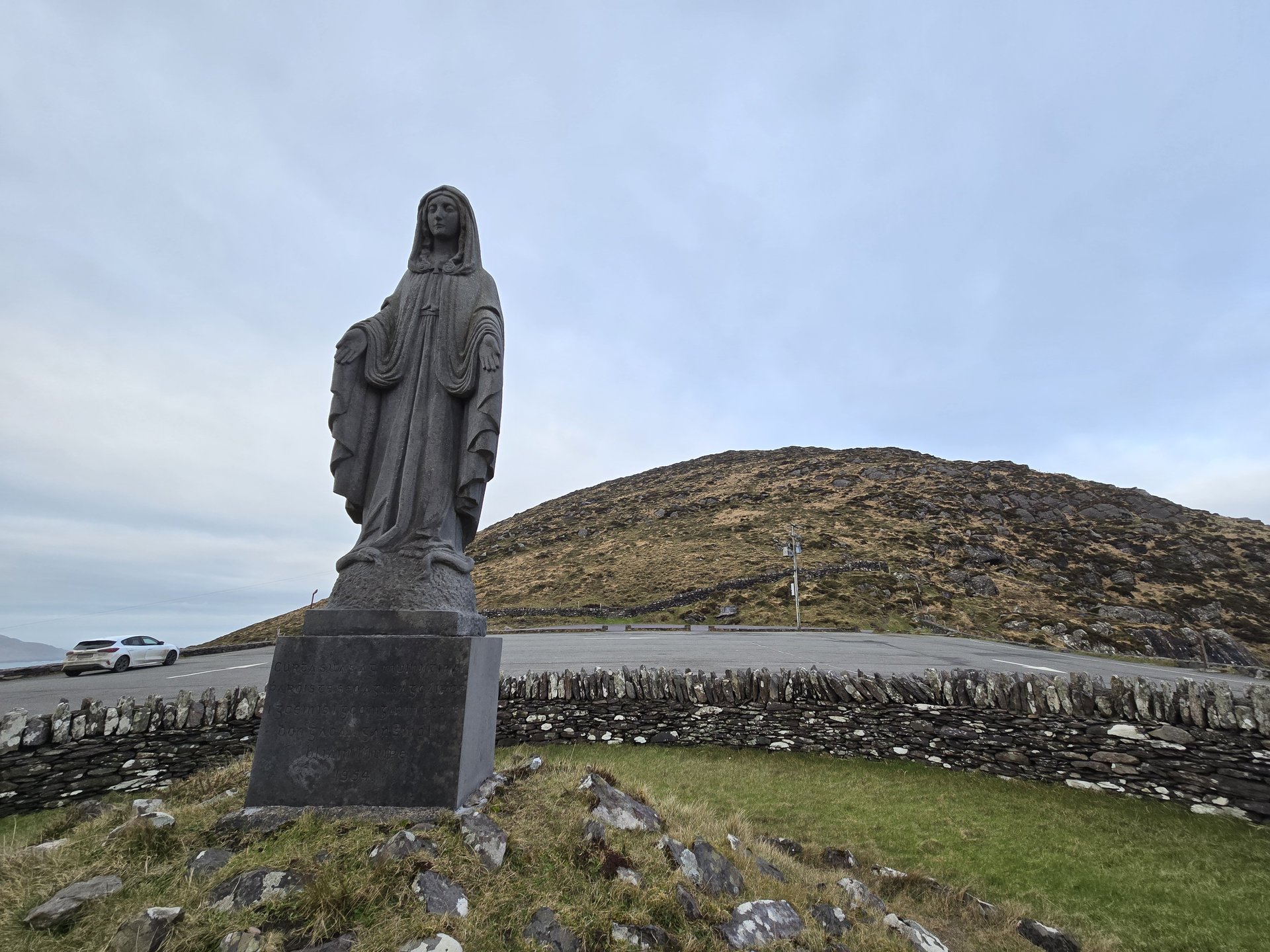
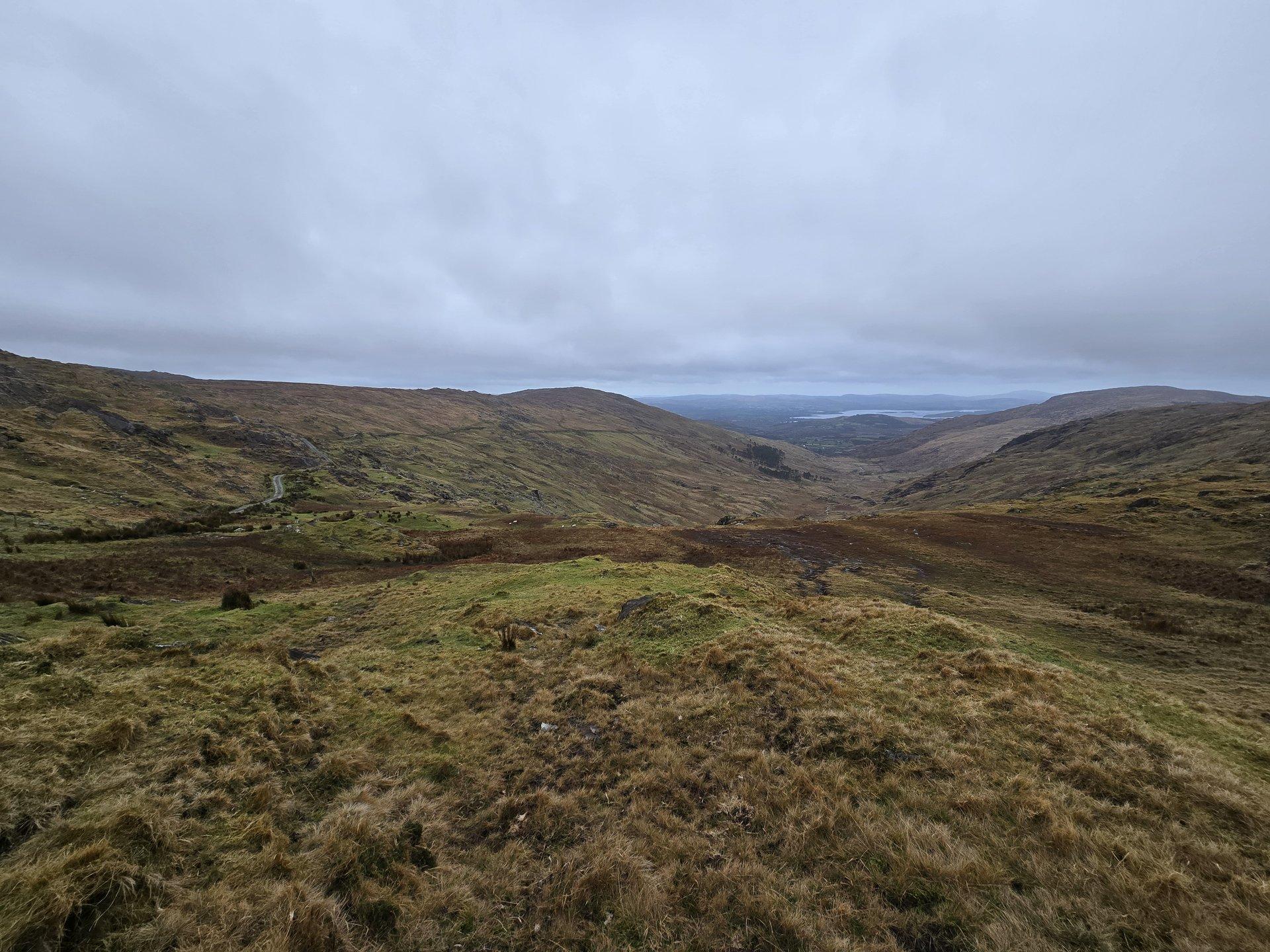
Day 17 journey of 132 km (82 miles) through Killinane, County Kerry, Castlequin, County Kerry, Caher, County Kerry and other locations. The route featured significant climbing with 1725 meters of elevation gain, traversing mountainous terrain. Documented with 34 photos.
Thursday, January 16, 2025
Killinane, County Kerry
→
Castlequin, County Kerry
→
Caher, County Kerry
→
Emlagh, County Kerry
→
Ballybrack, County Kerry
→
Darrynane, County Kerry
→
Coomakista
→
Caherdaniel, County Kerry
→
Banawn, County Kerry
→
Kenmare, County Kerry
→
Reen, County Kerry
→
Greenane, County Kerry
→
Dunloe, County Kerry
→
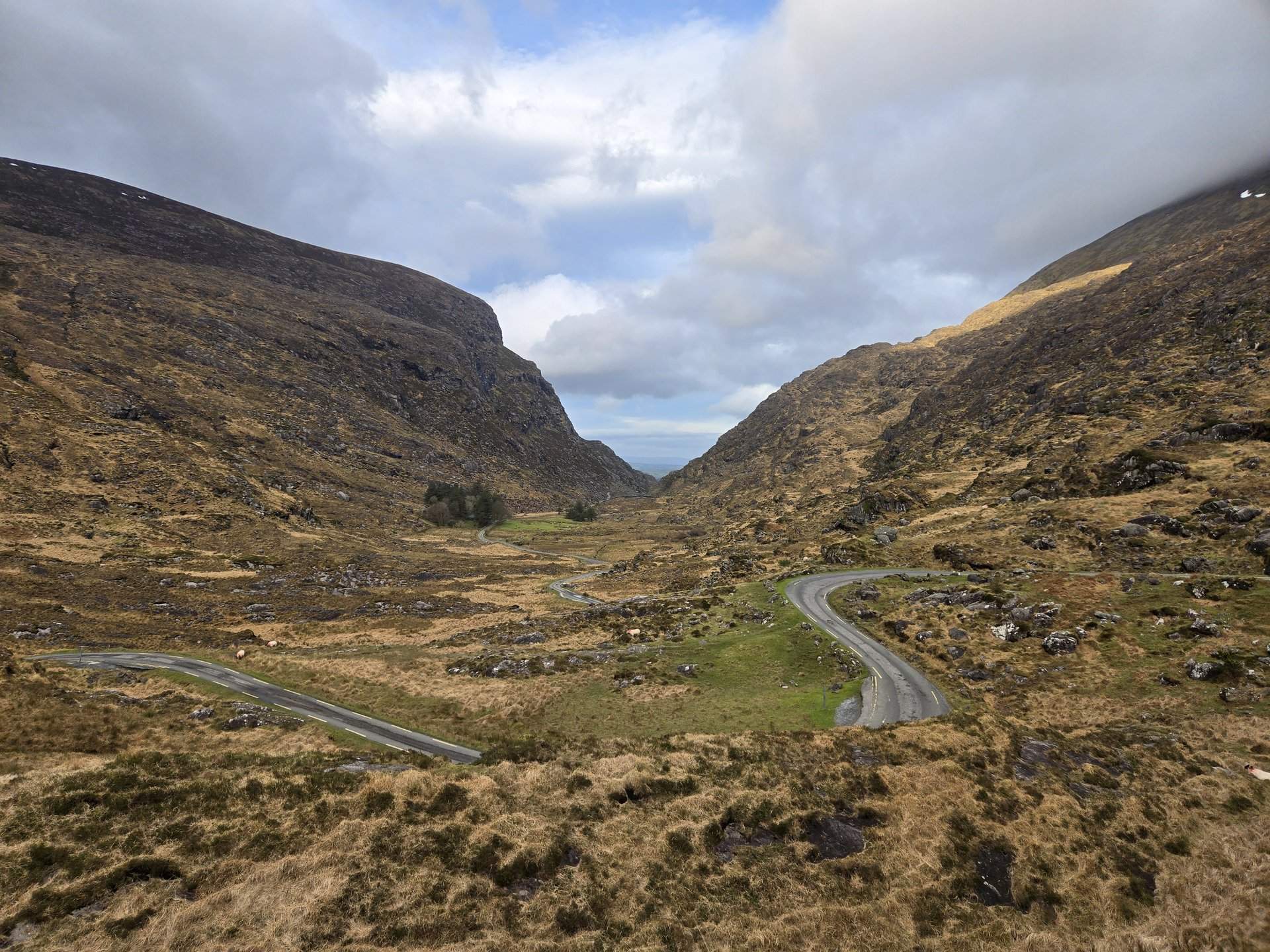
Muckross, County Kerry
Day Statistics 132km • 290 photos
Distance
131.5 km
Duration
4.6 hrs
Elevation Gain
1724 m
Photos
34
🗺️ Route Map
📸 Photos (16 of 32)
Refresh page to see different photos