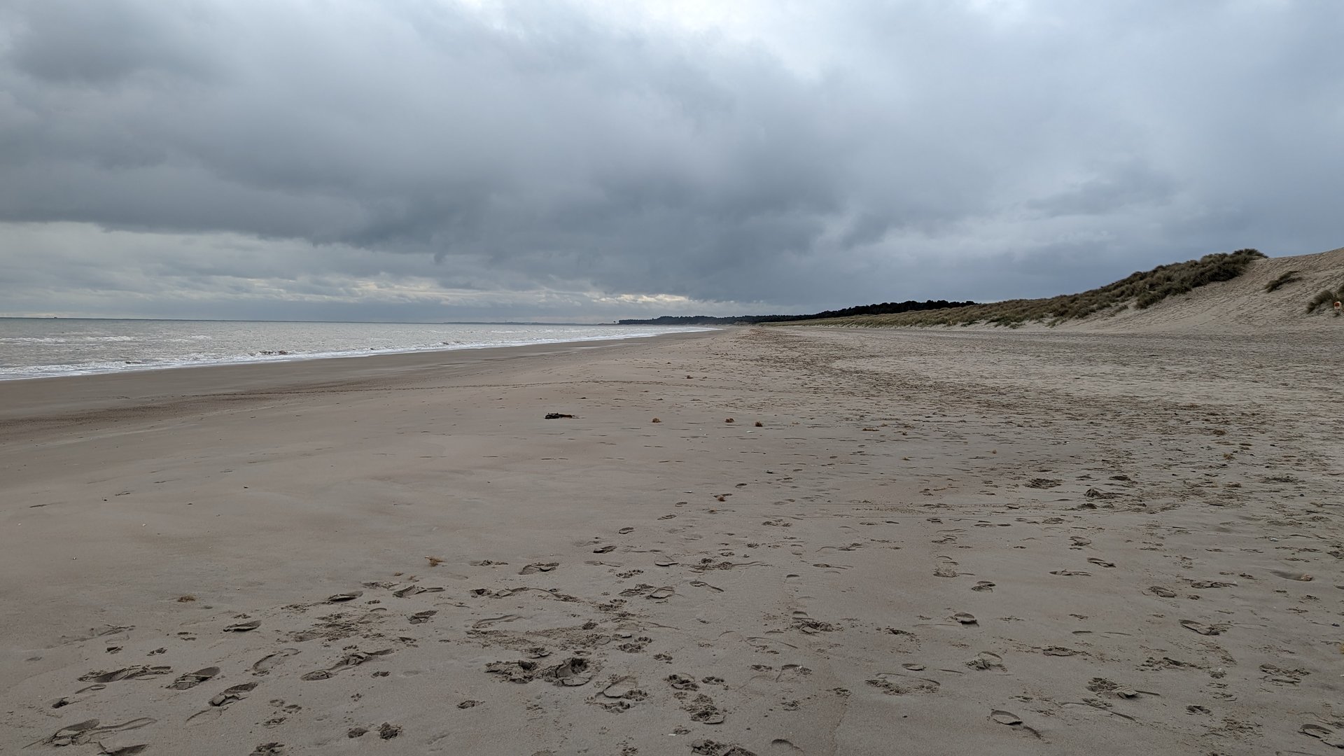
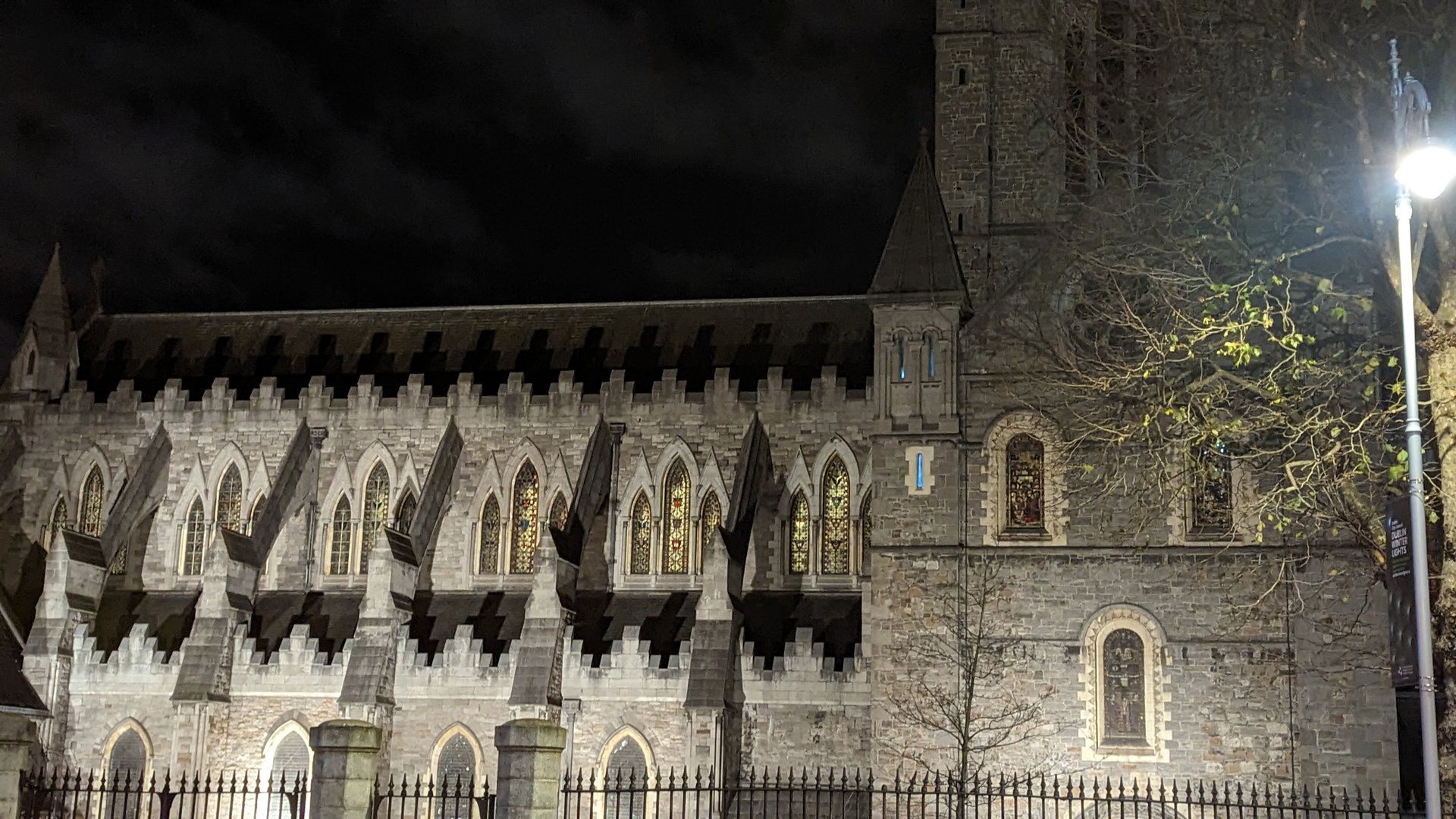
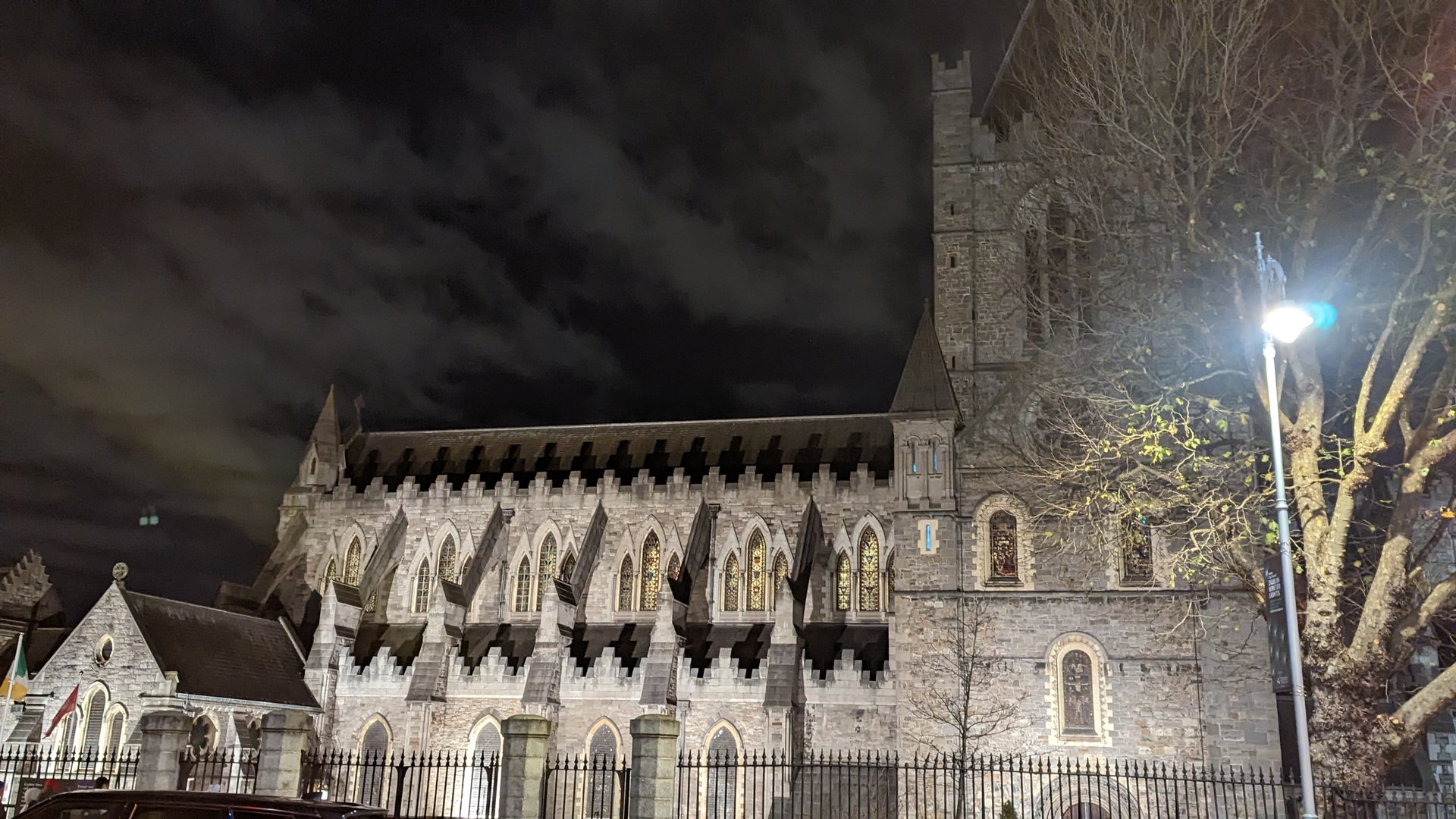
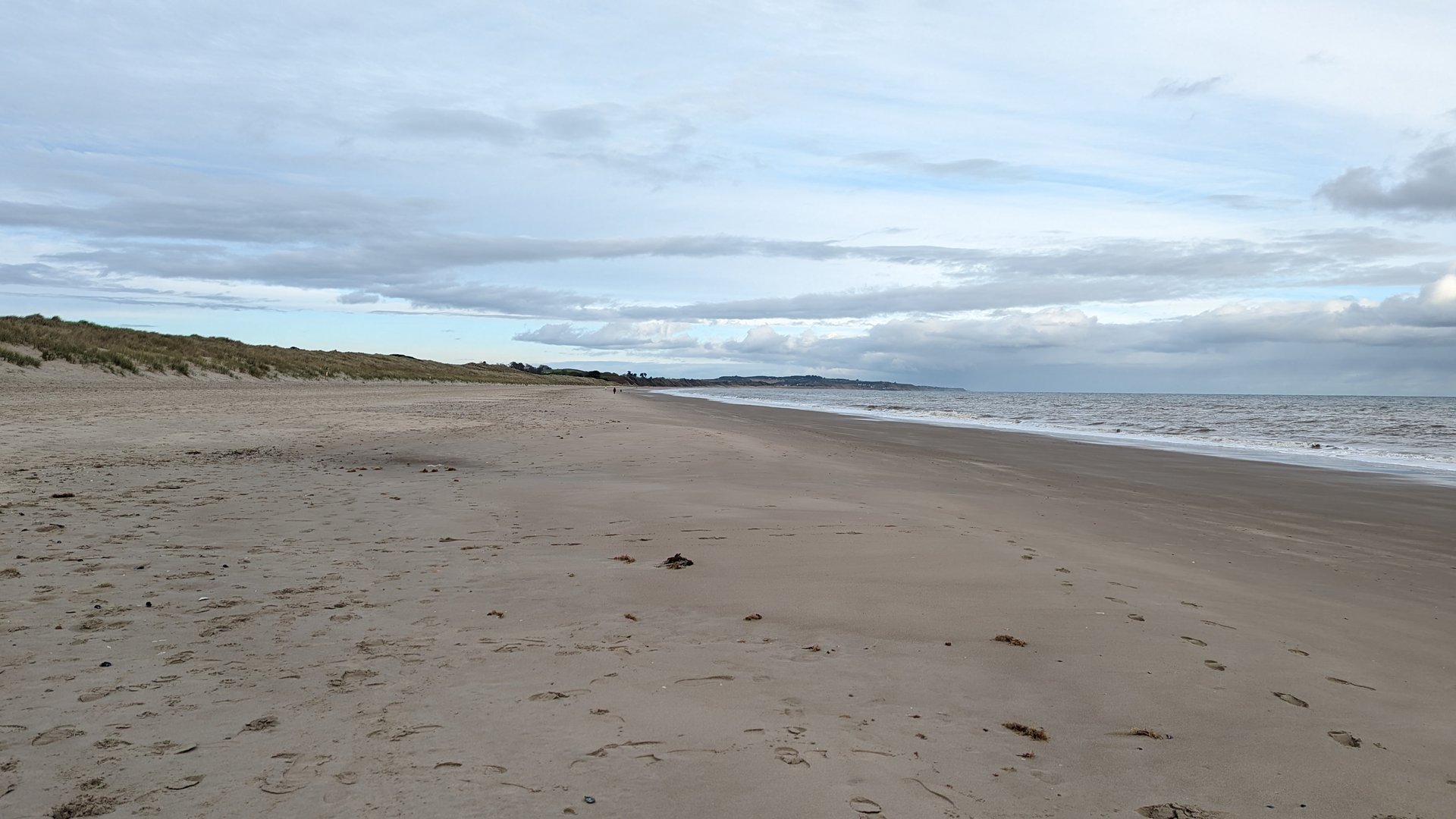
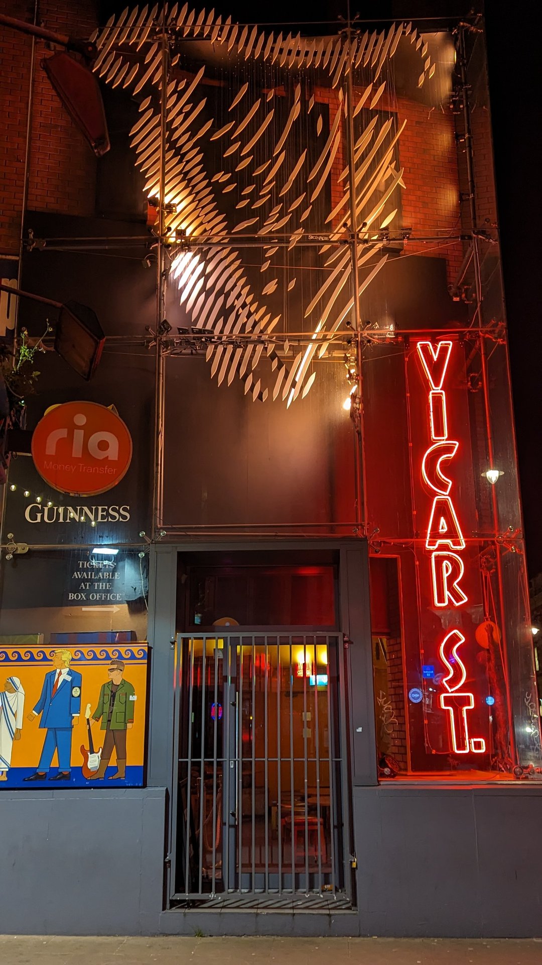
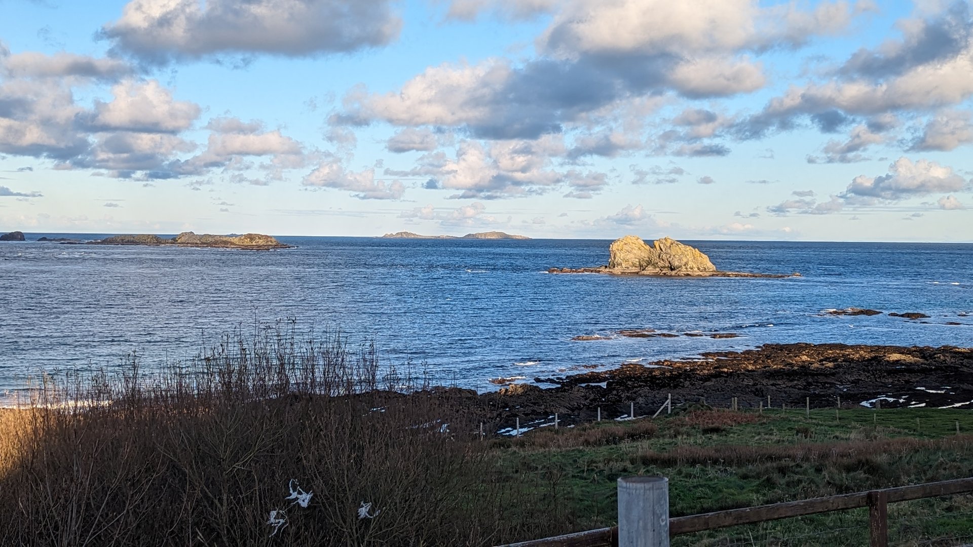
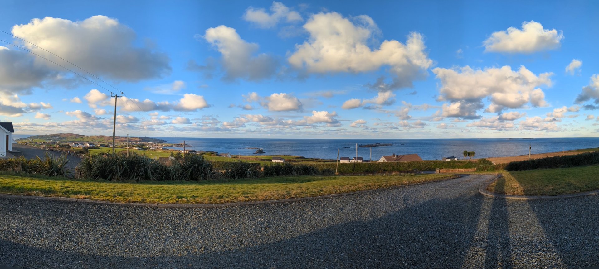
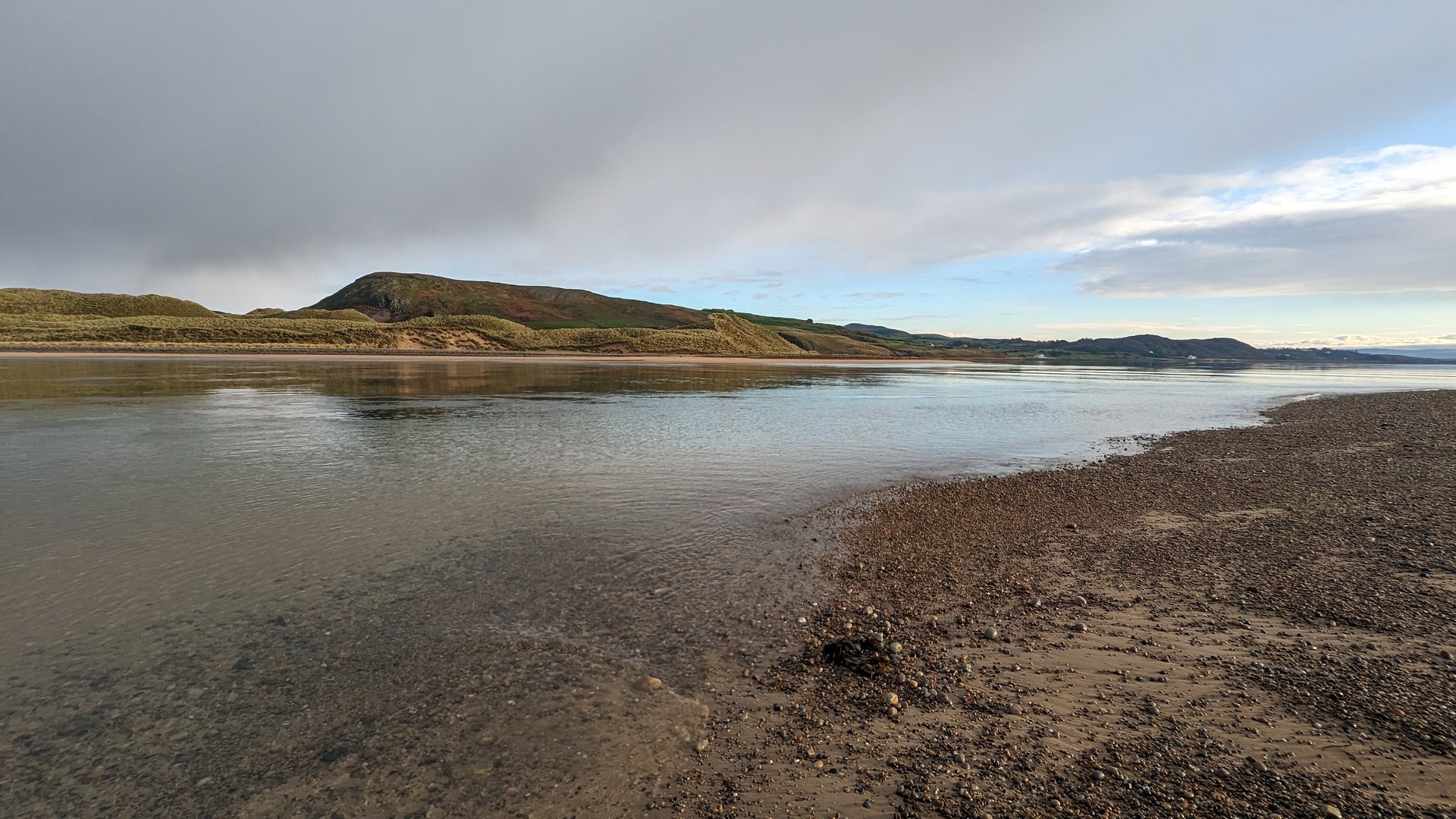
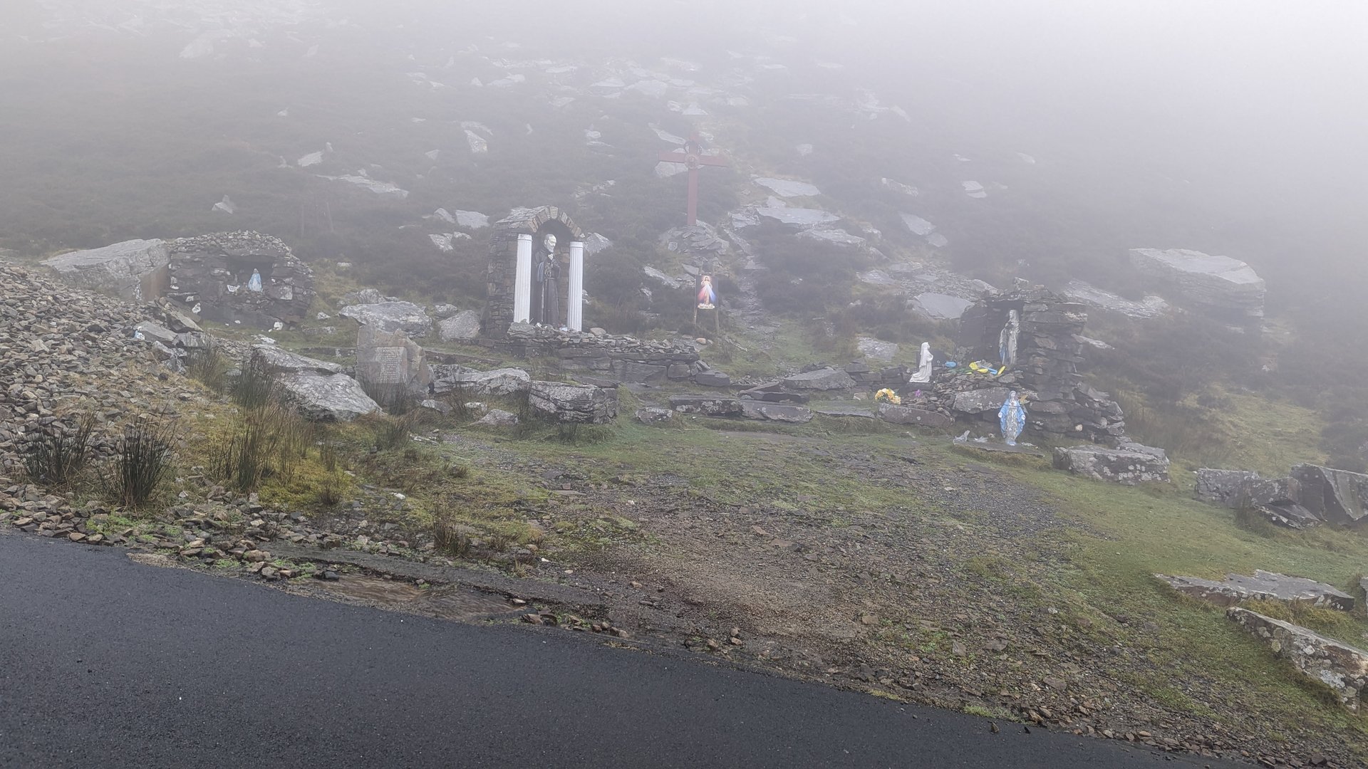
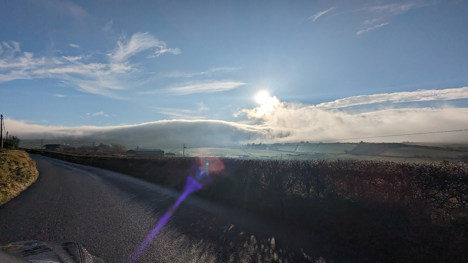
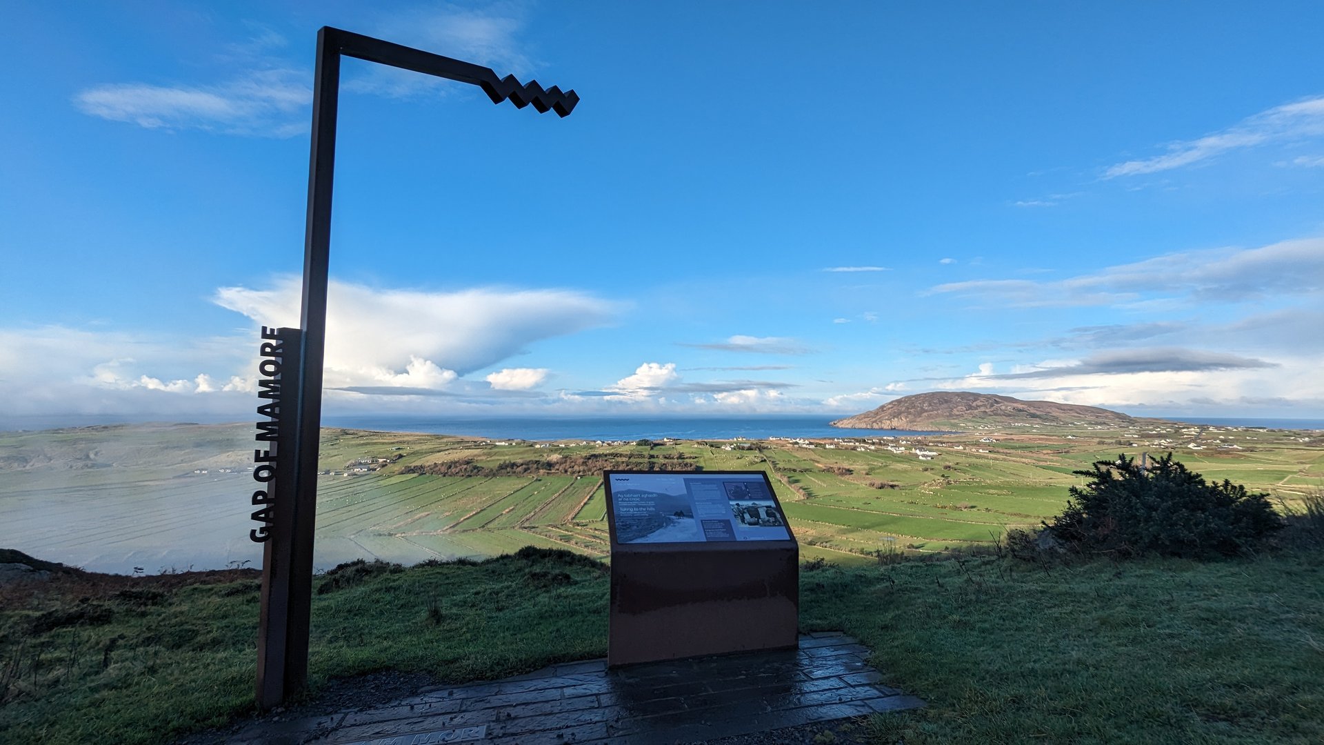
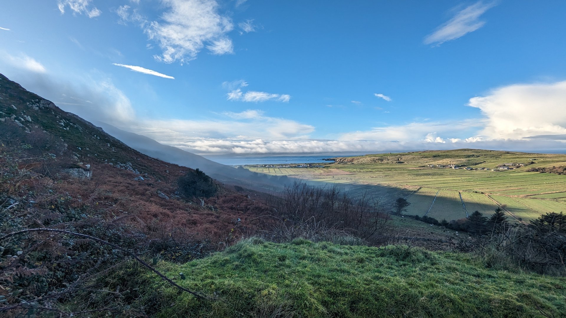
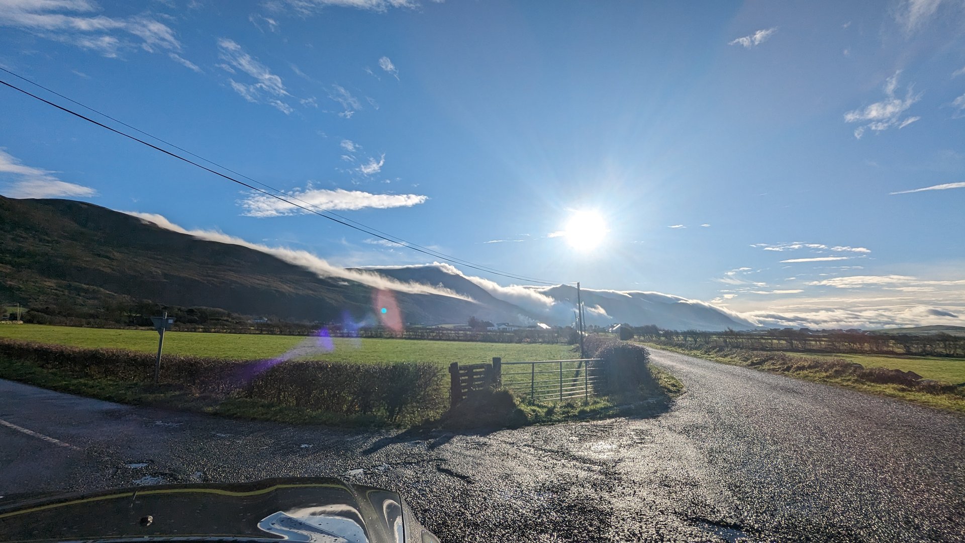
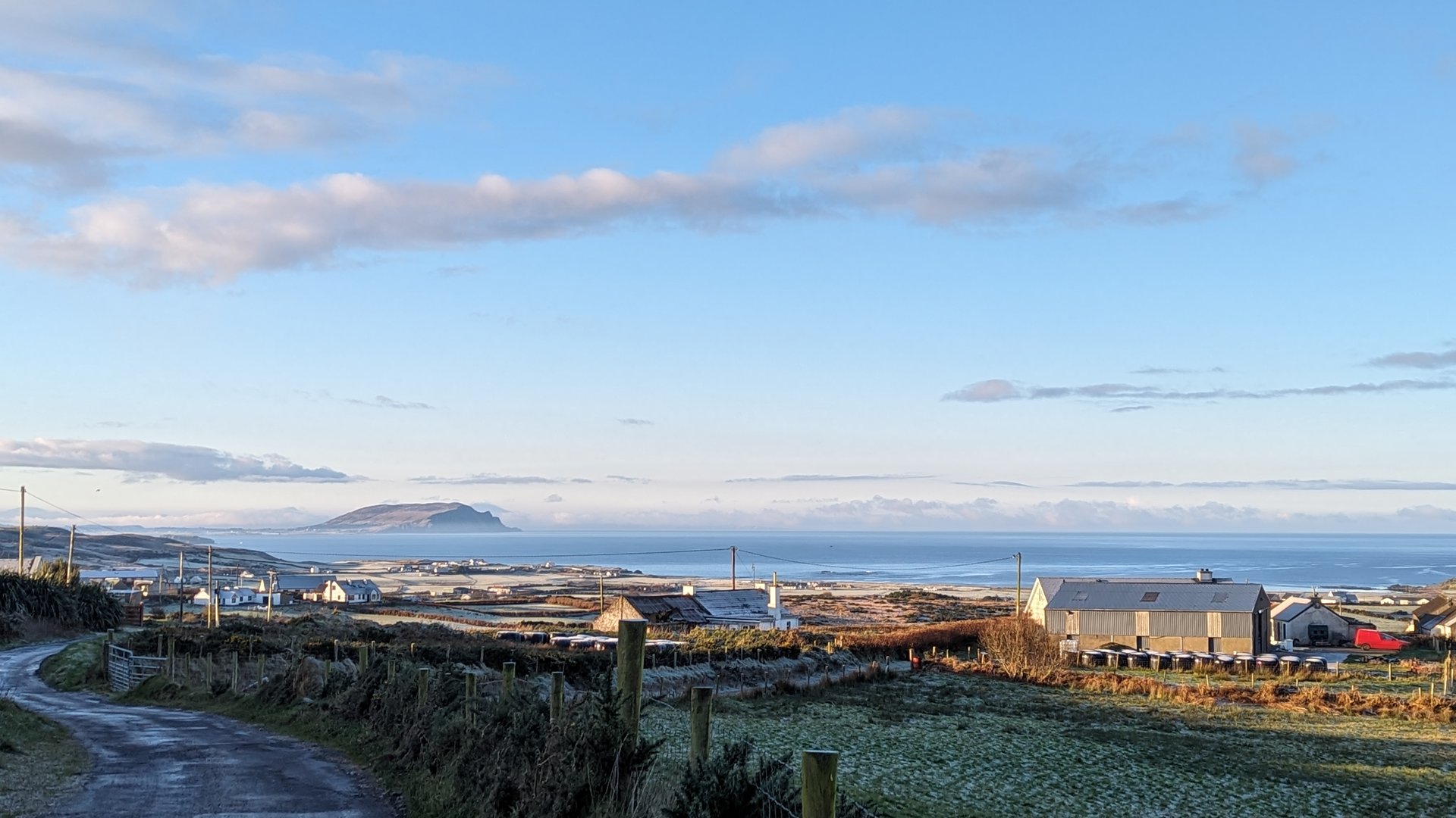
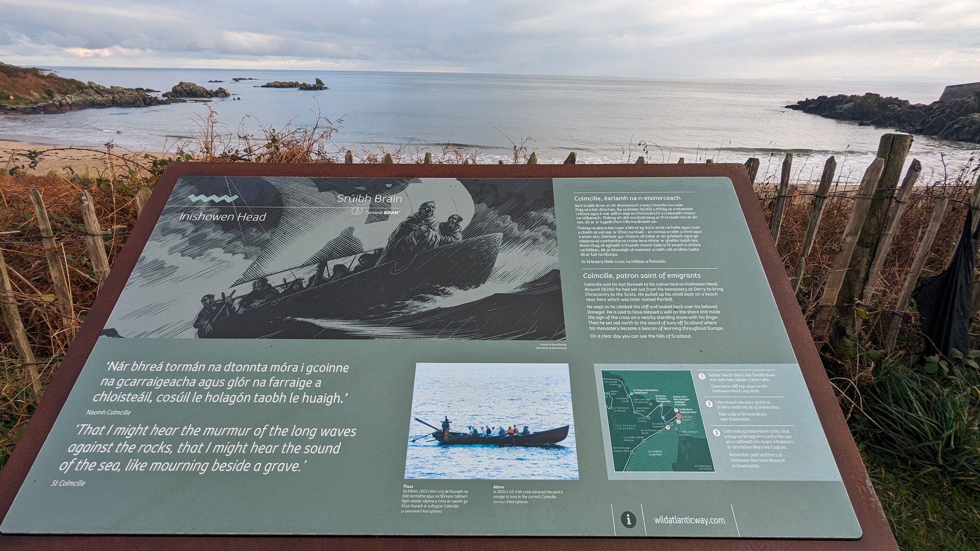
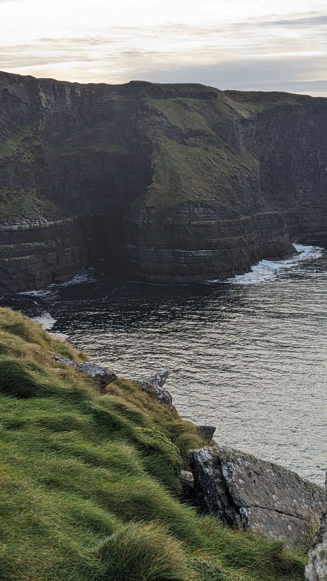
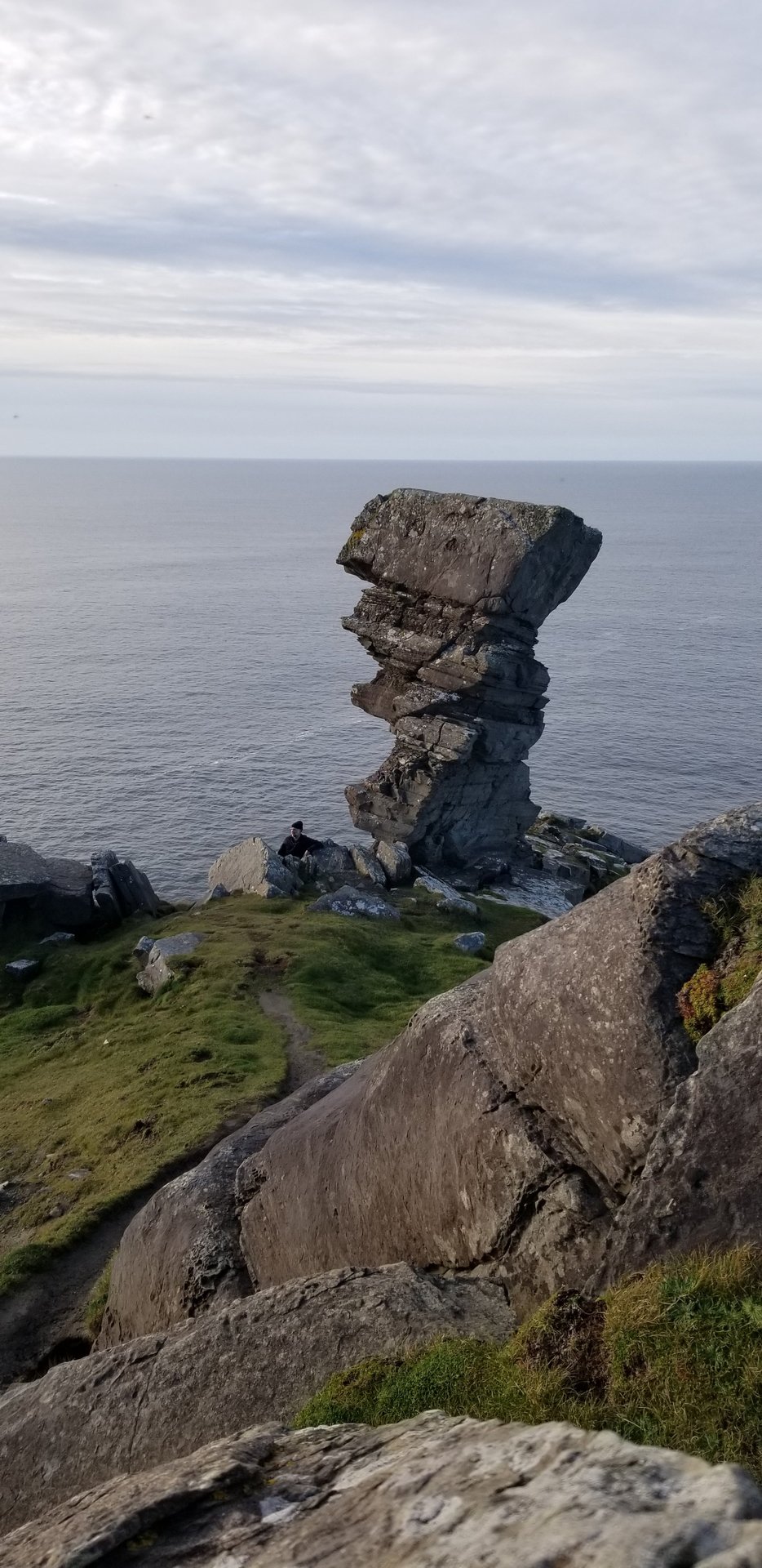
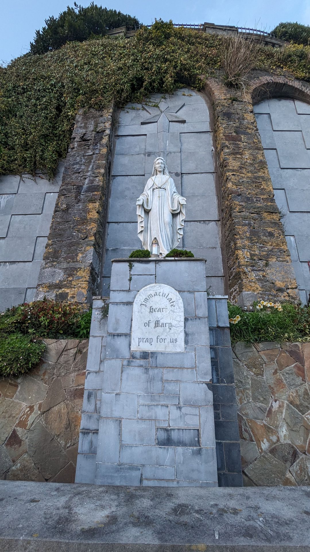
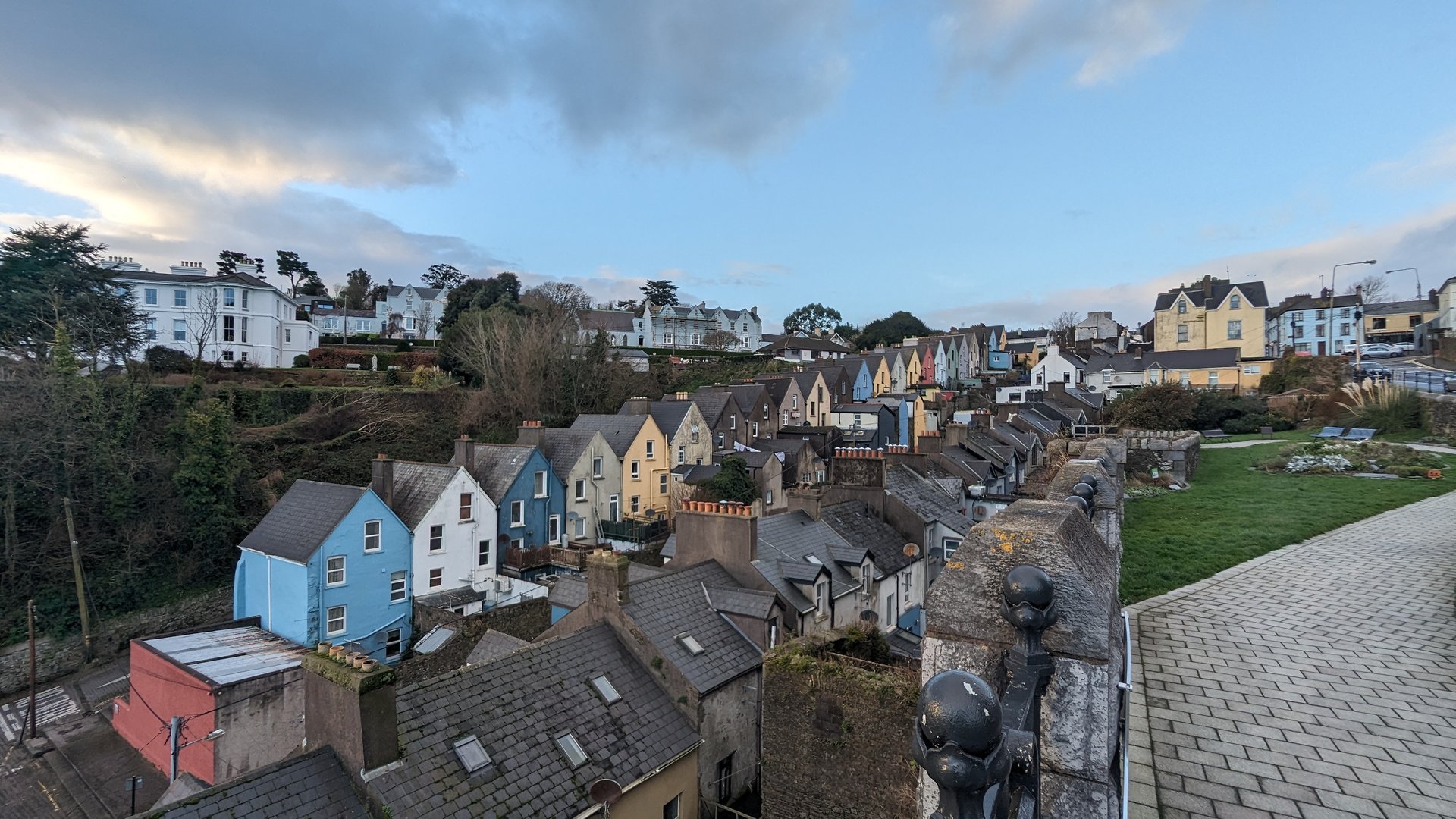
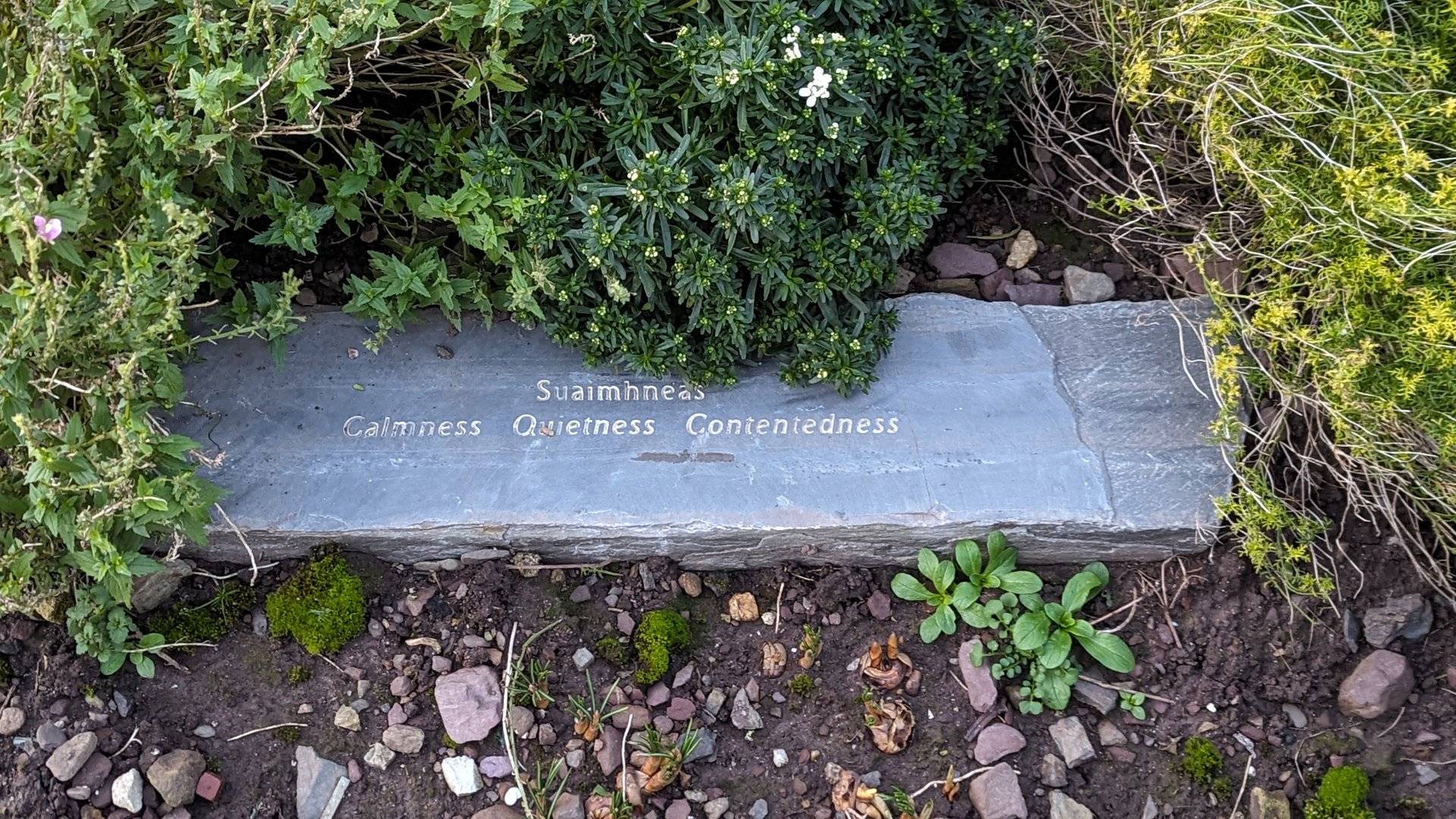
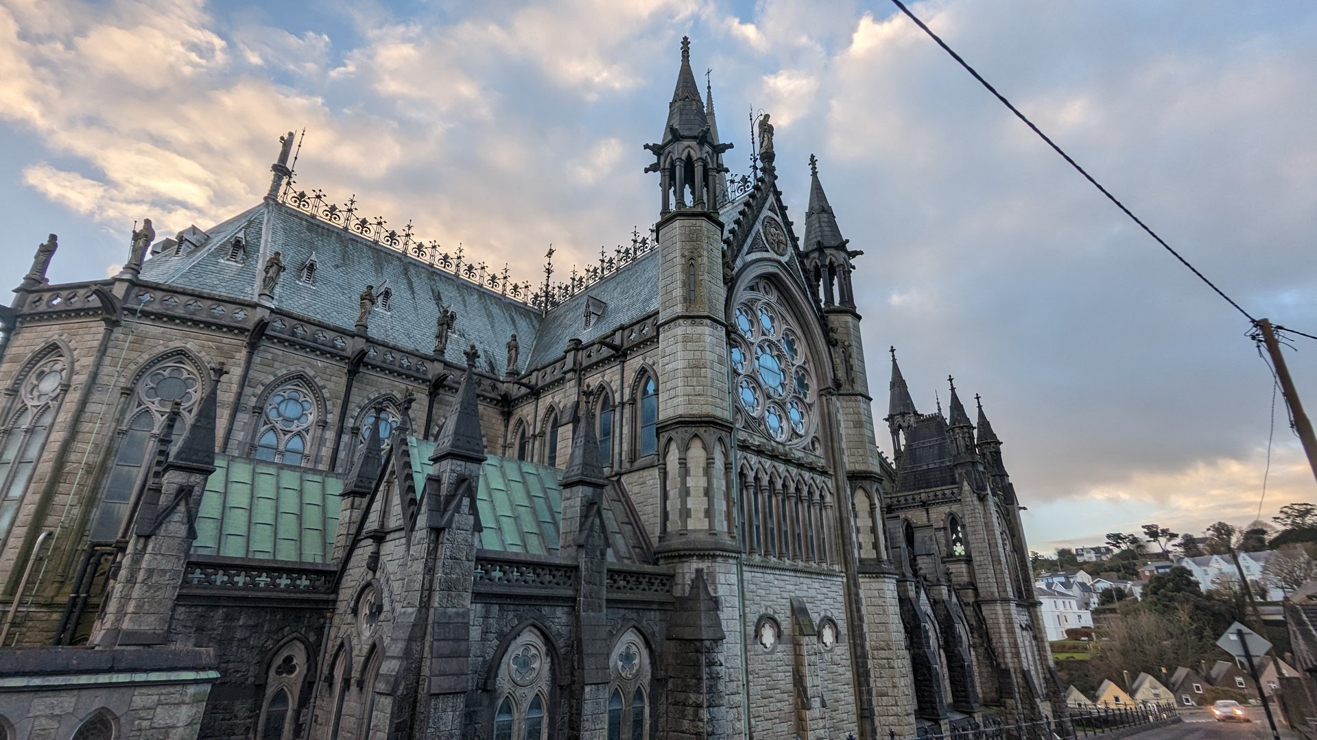
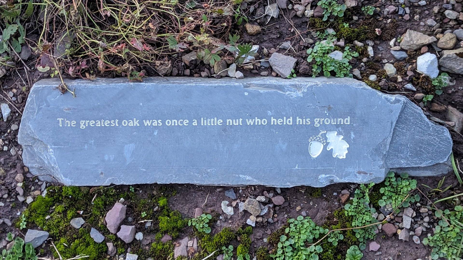
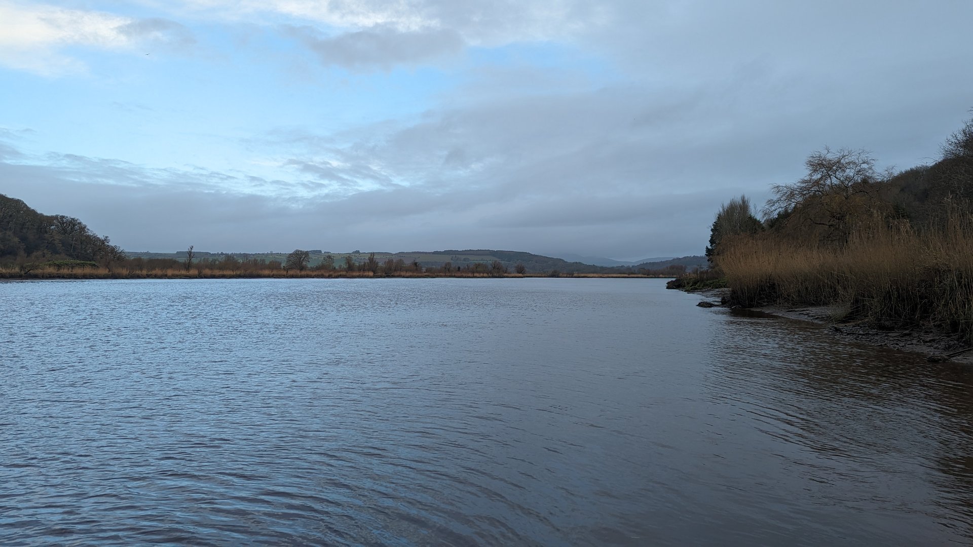
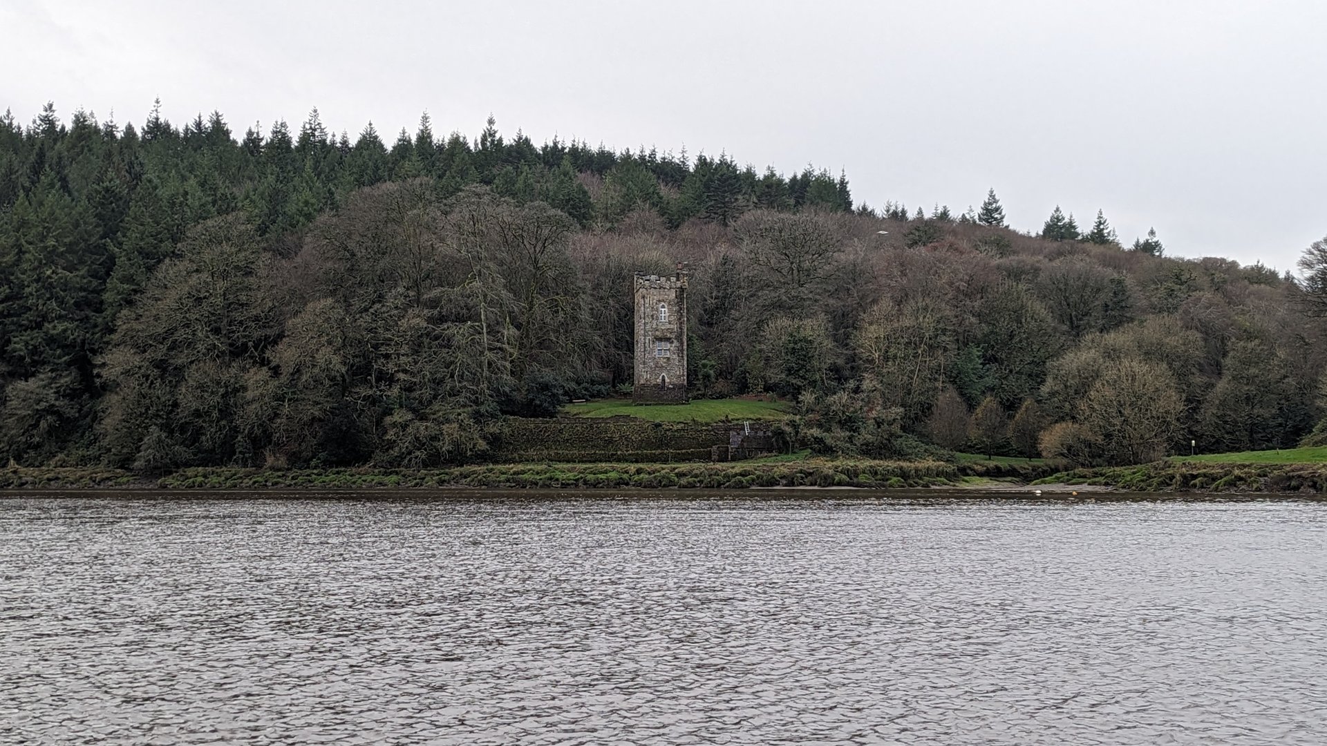
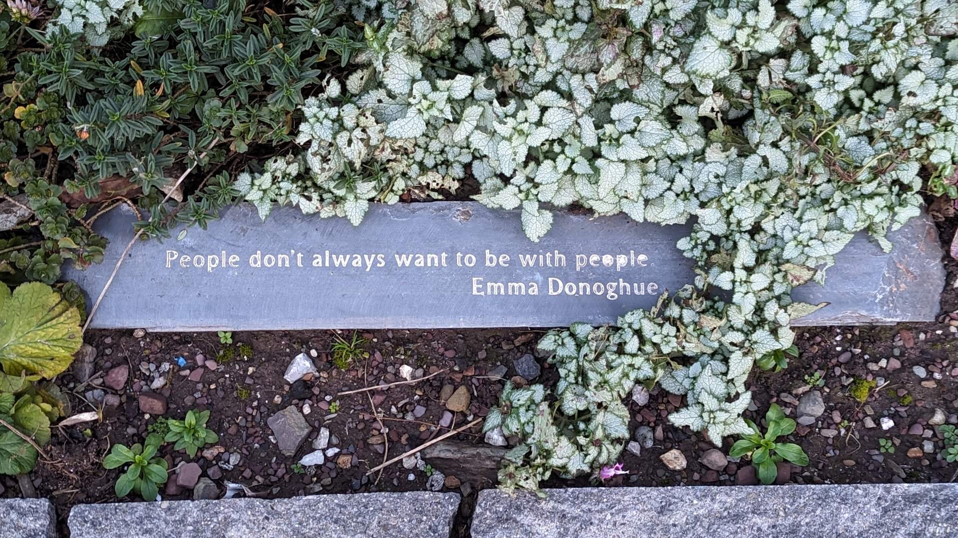
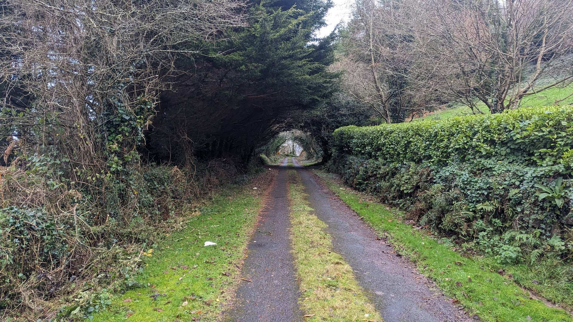
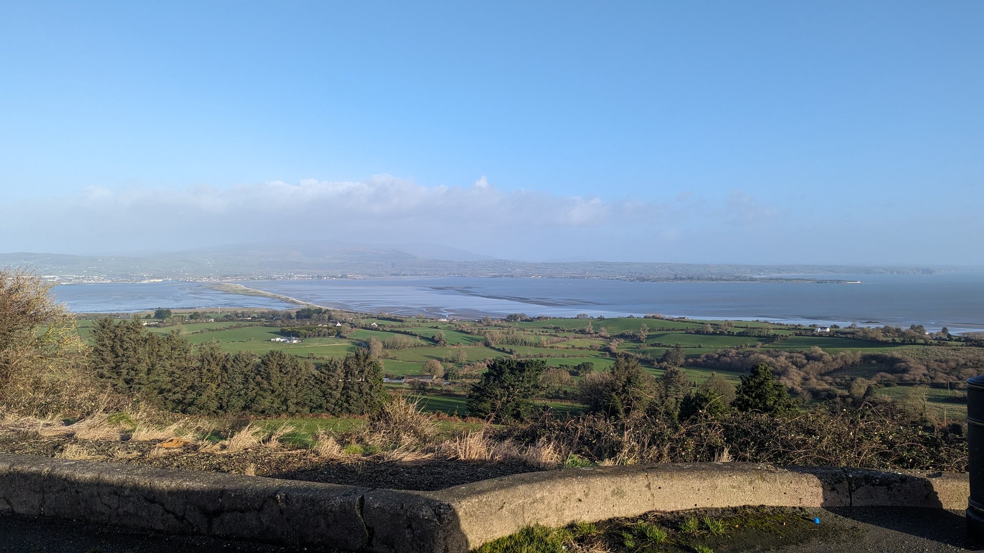
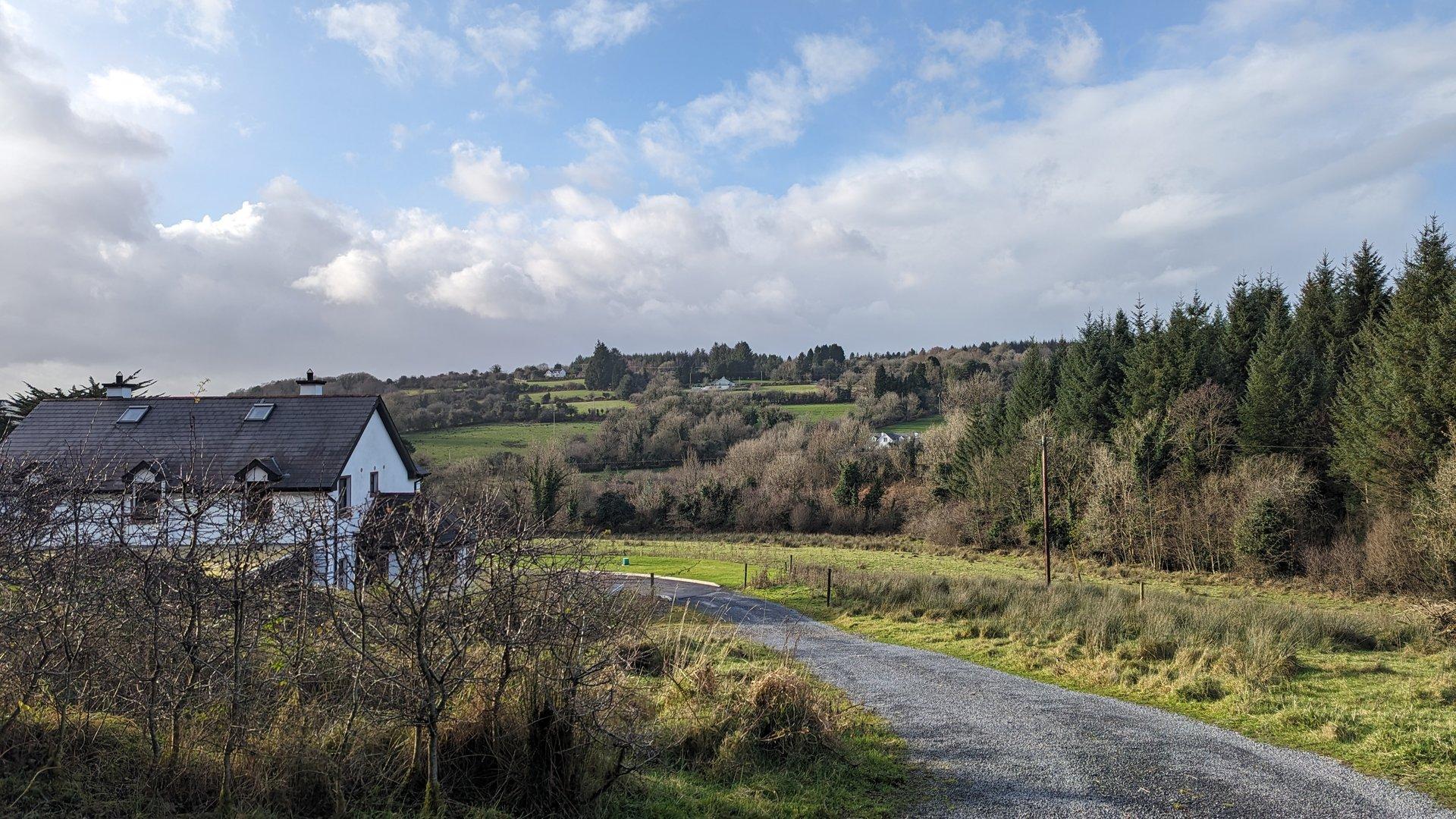
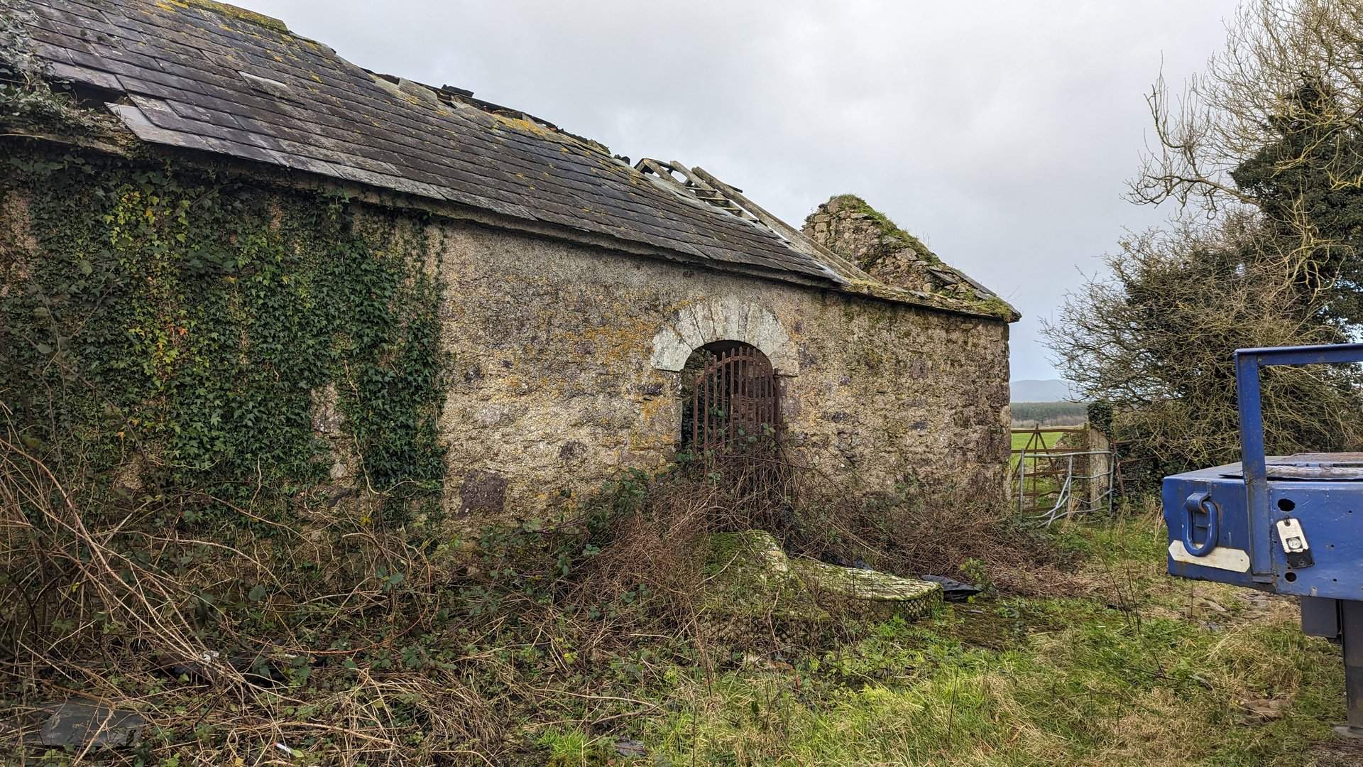
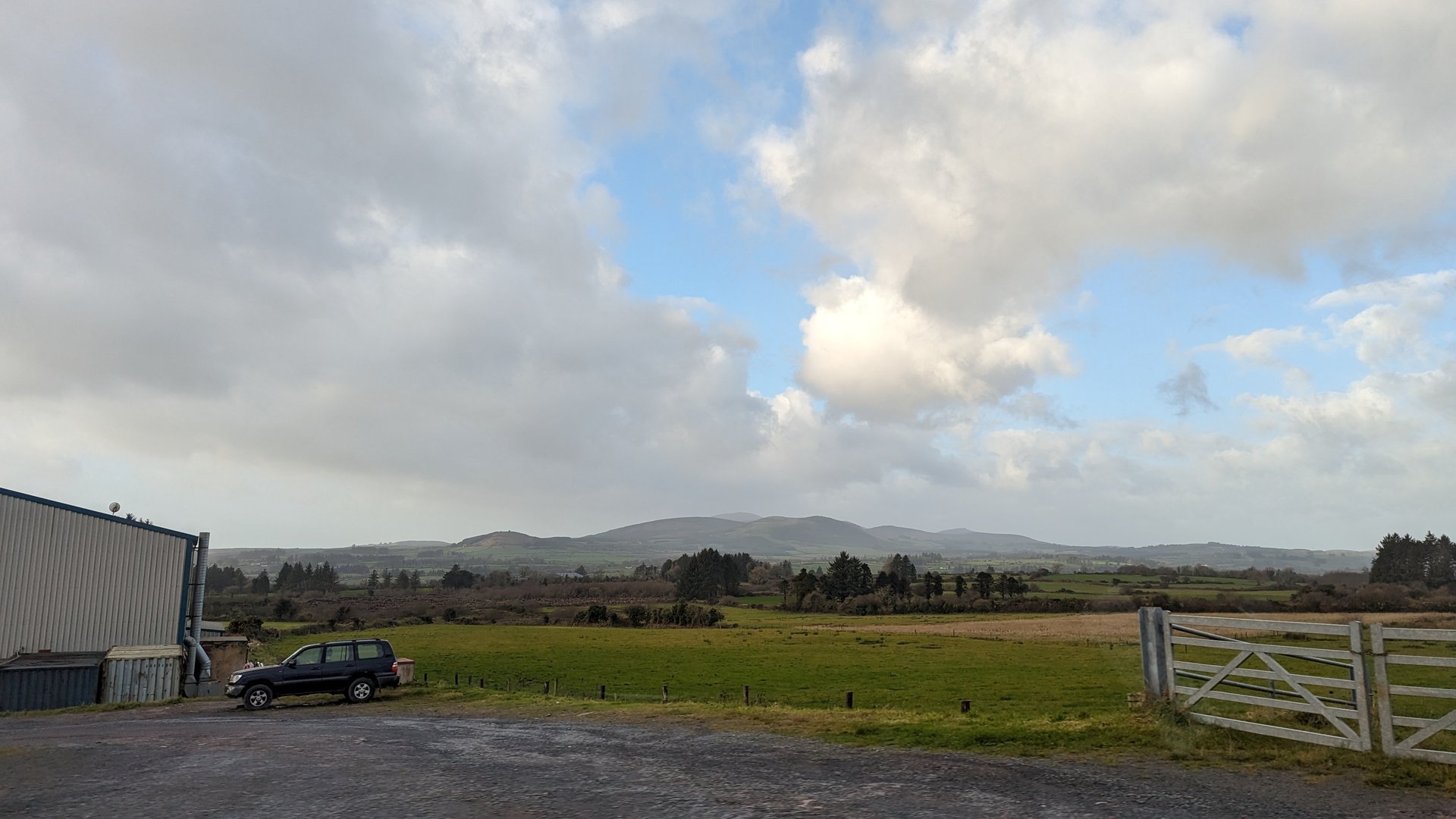
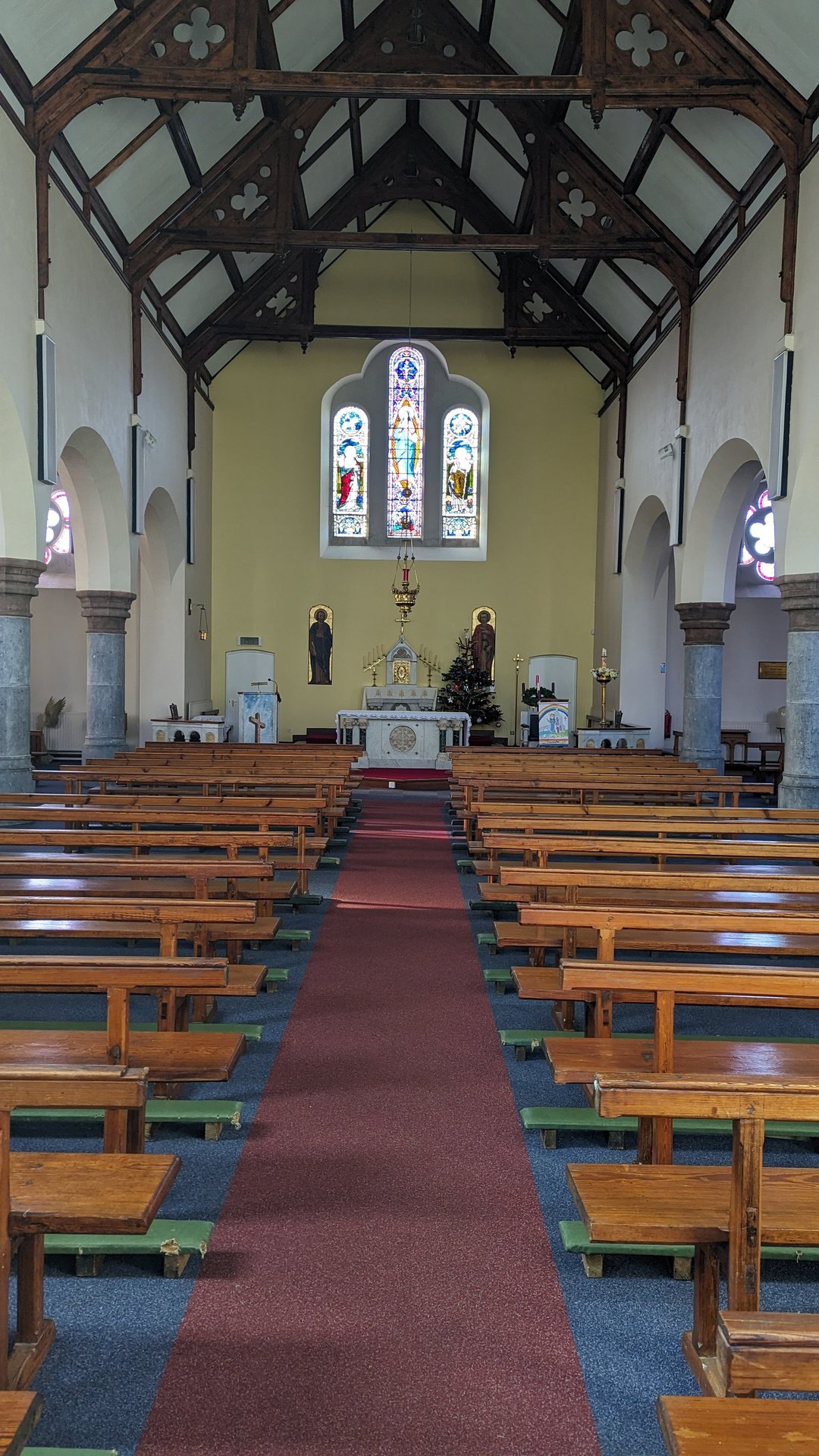
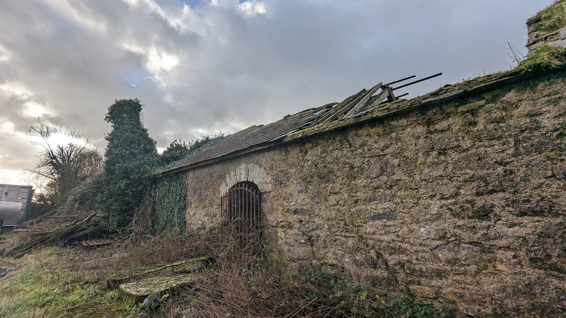
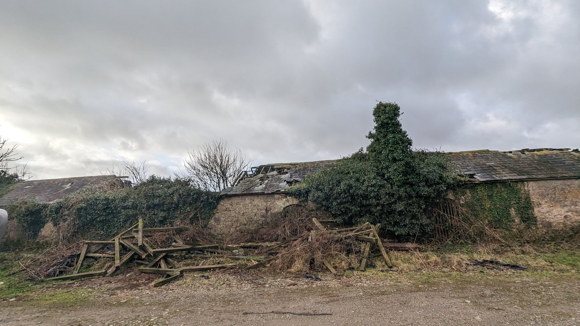
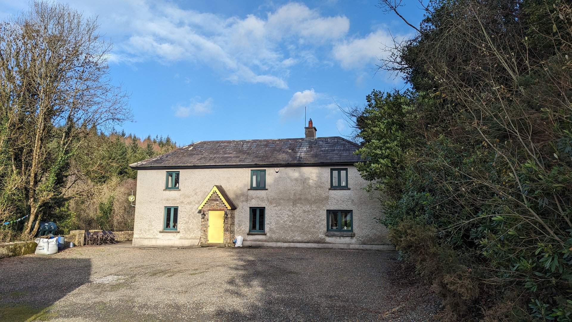
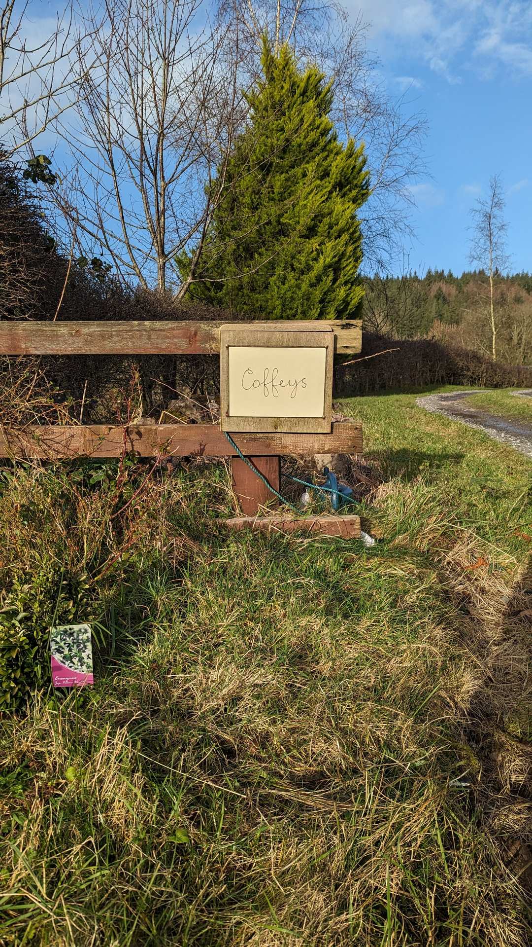
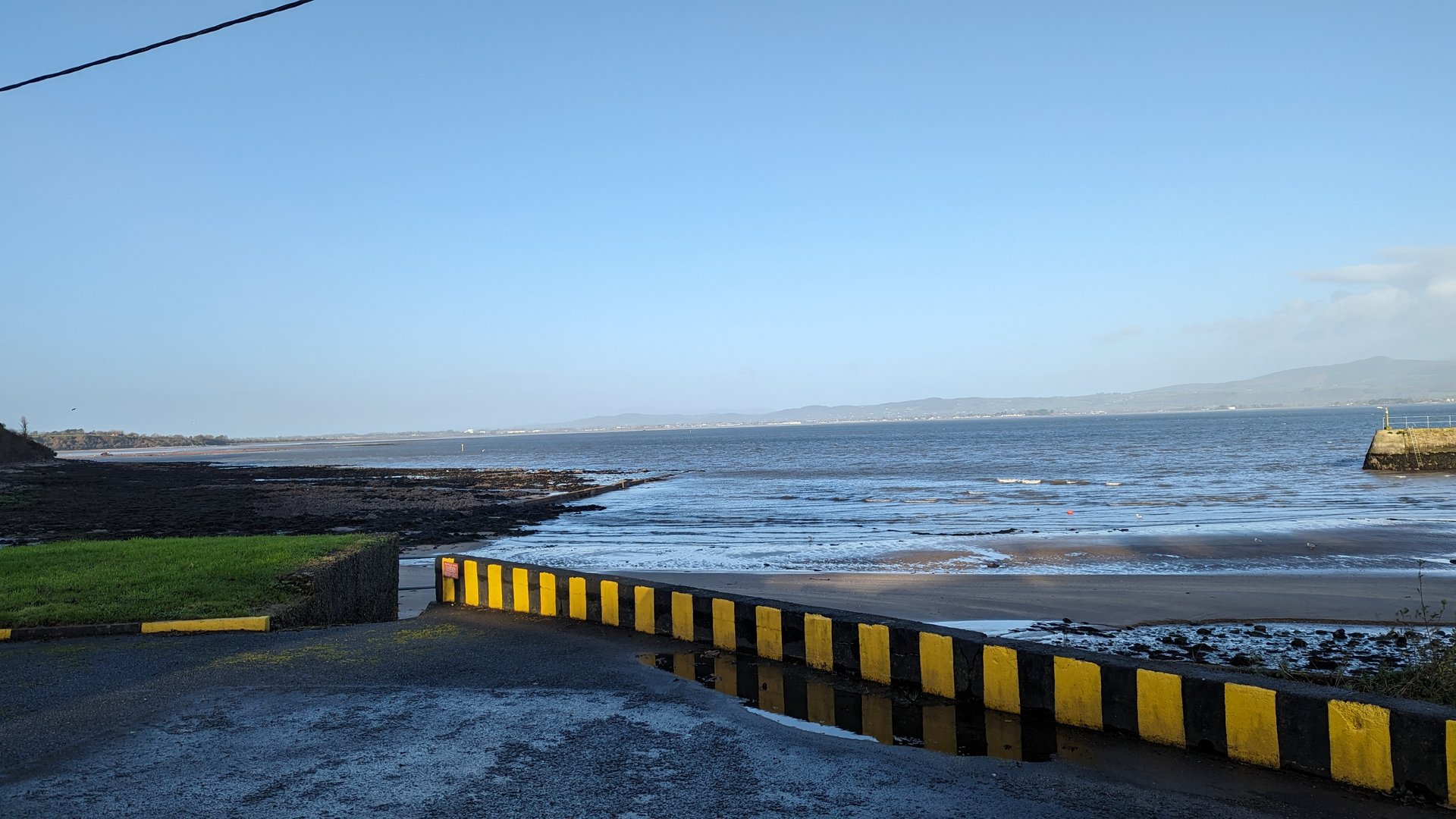
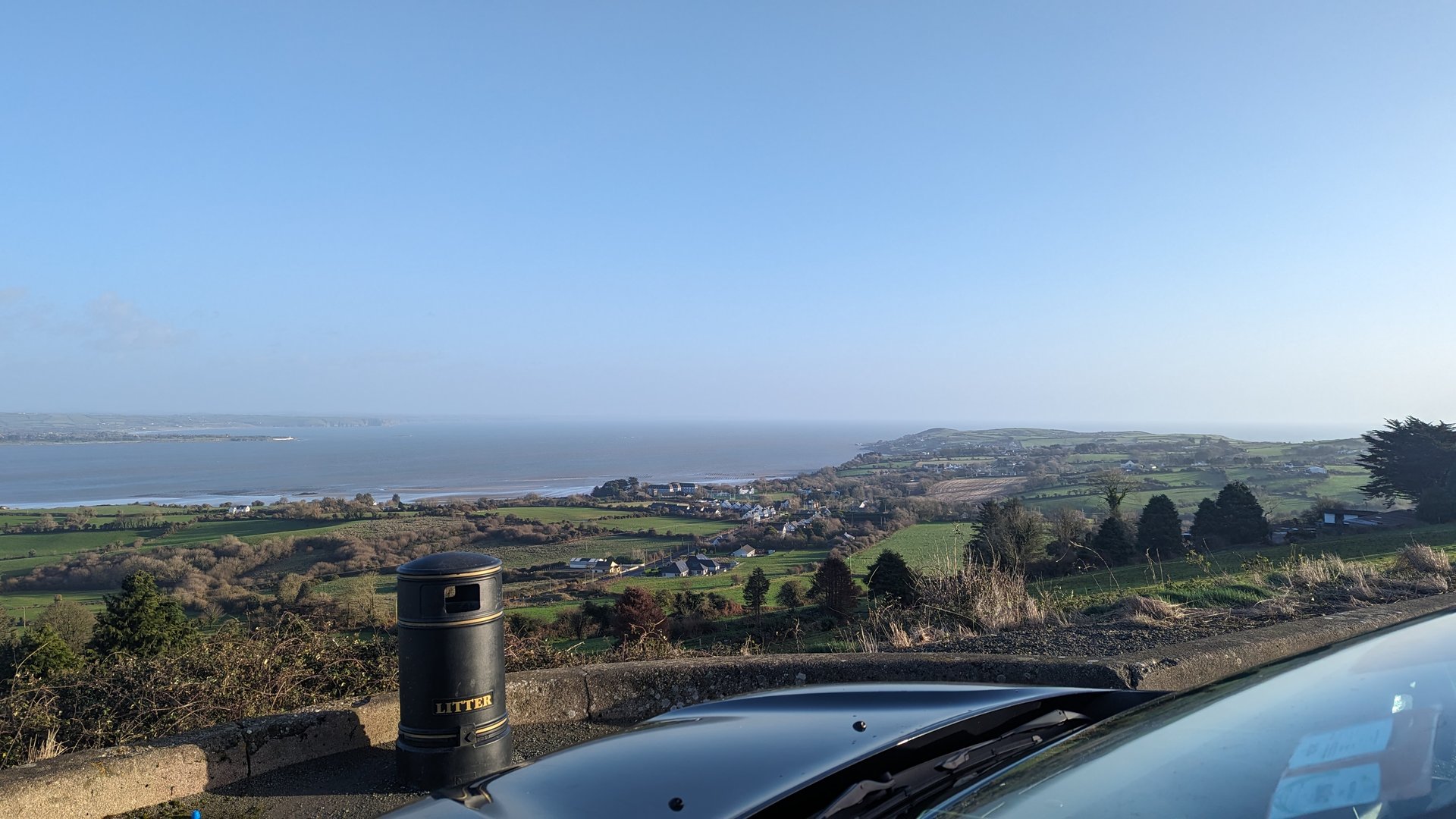
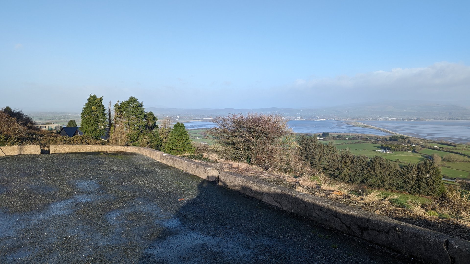
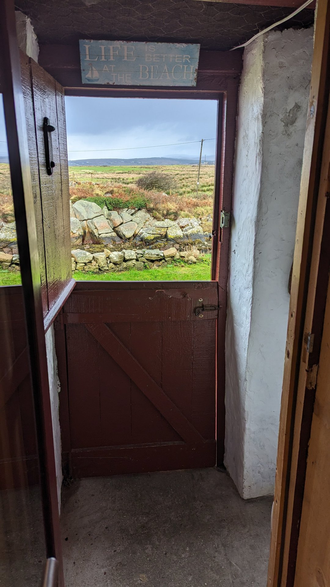
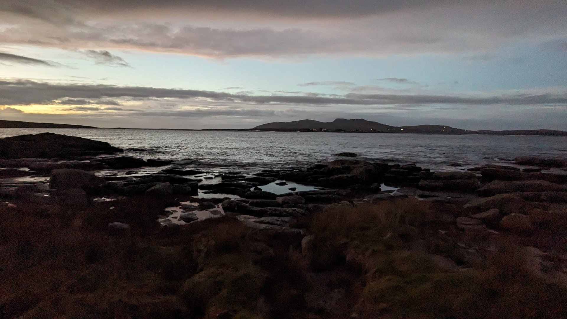
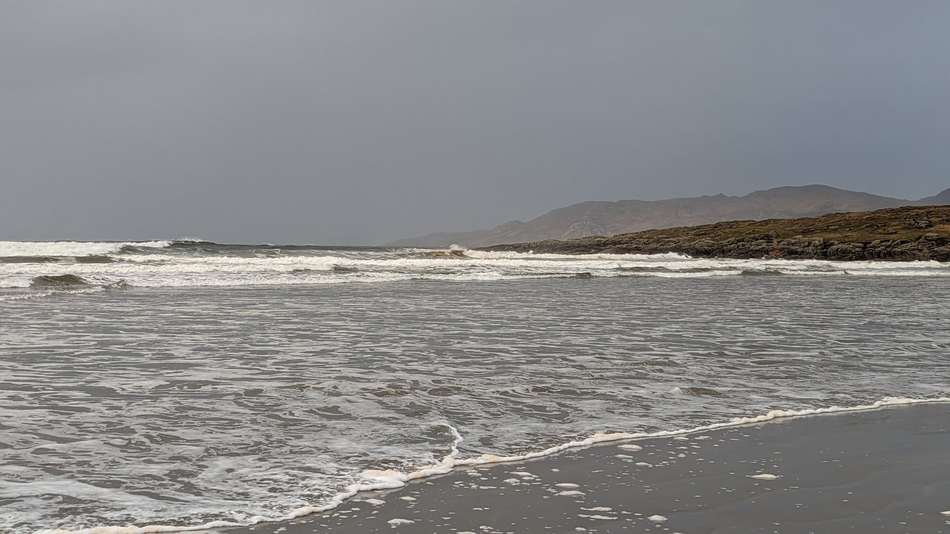
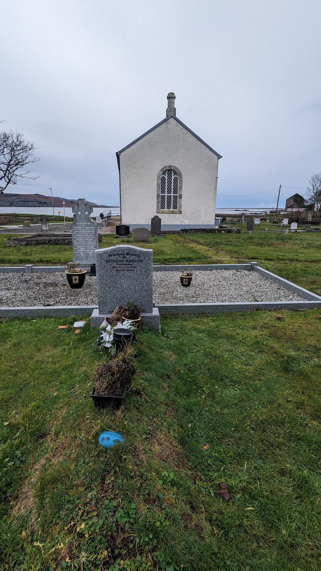
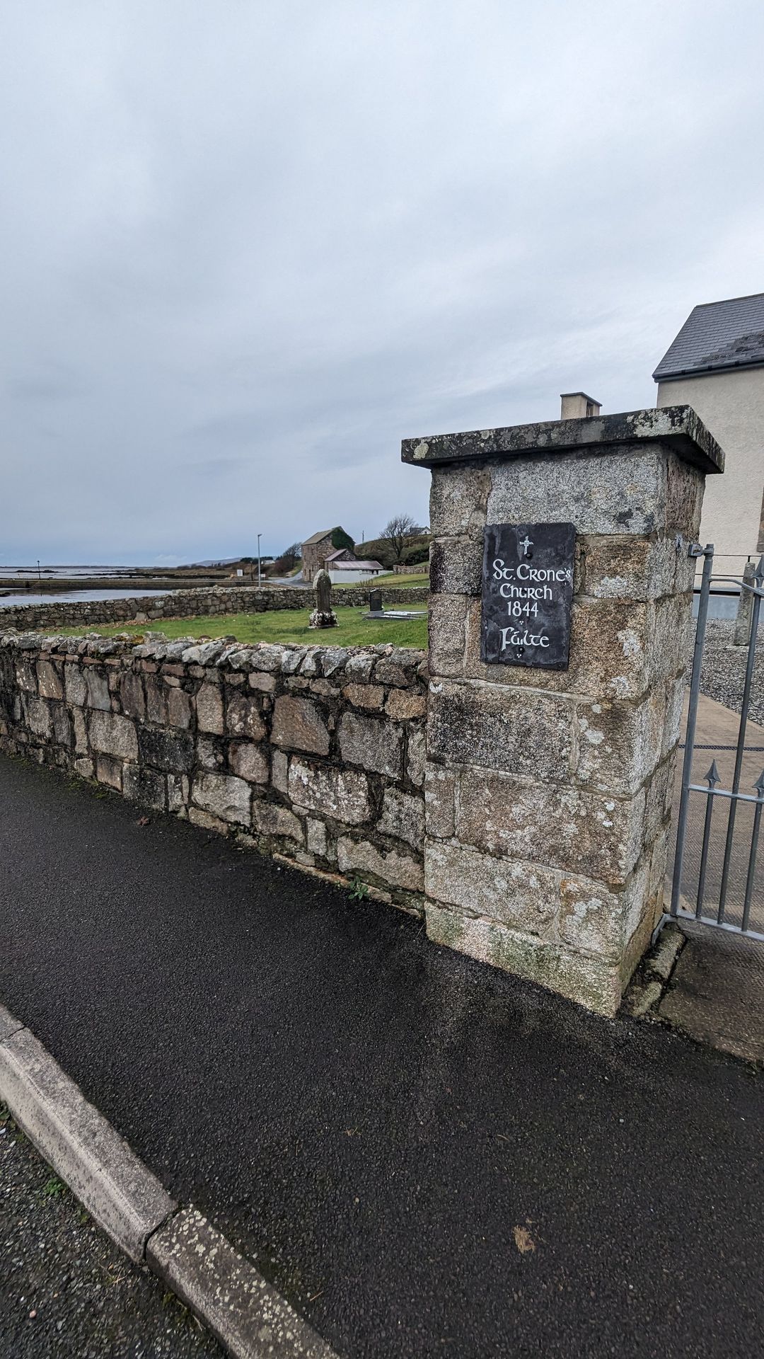
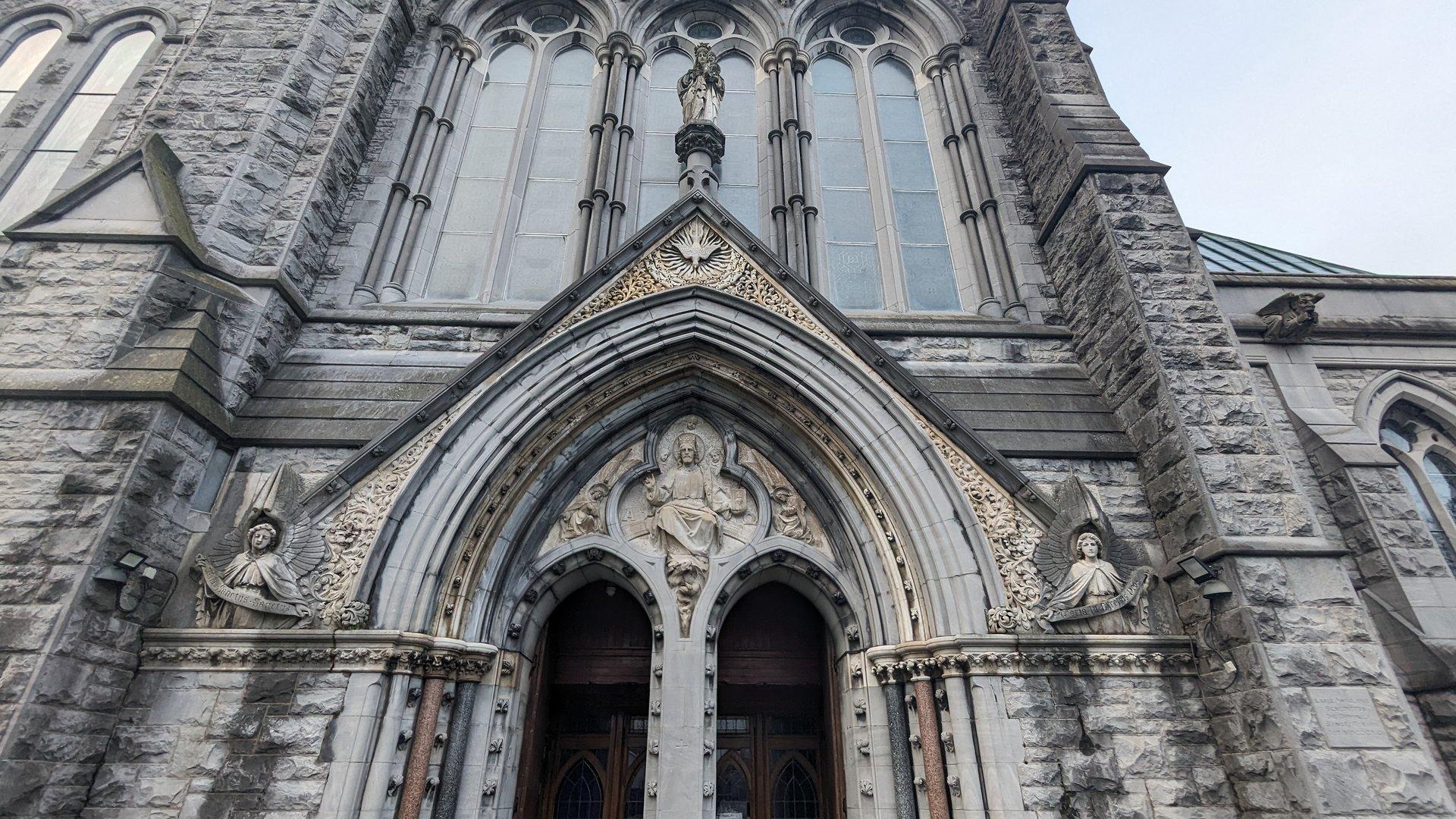
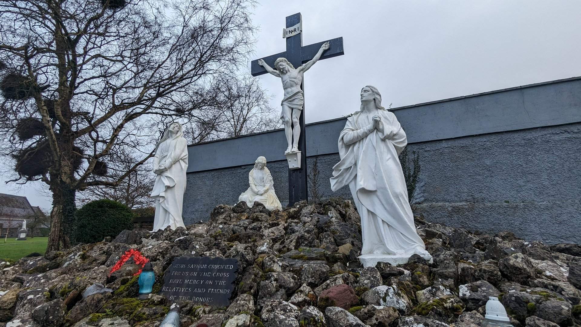
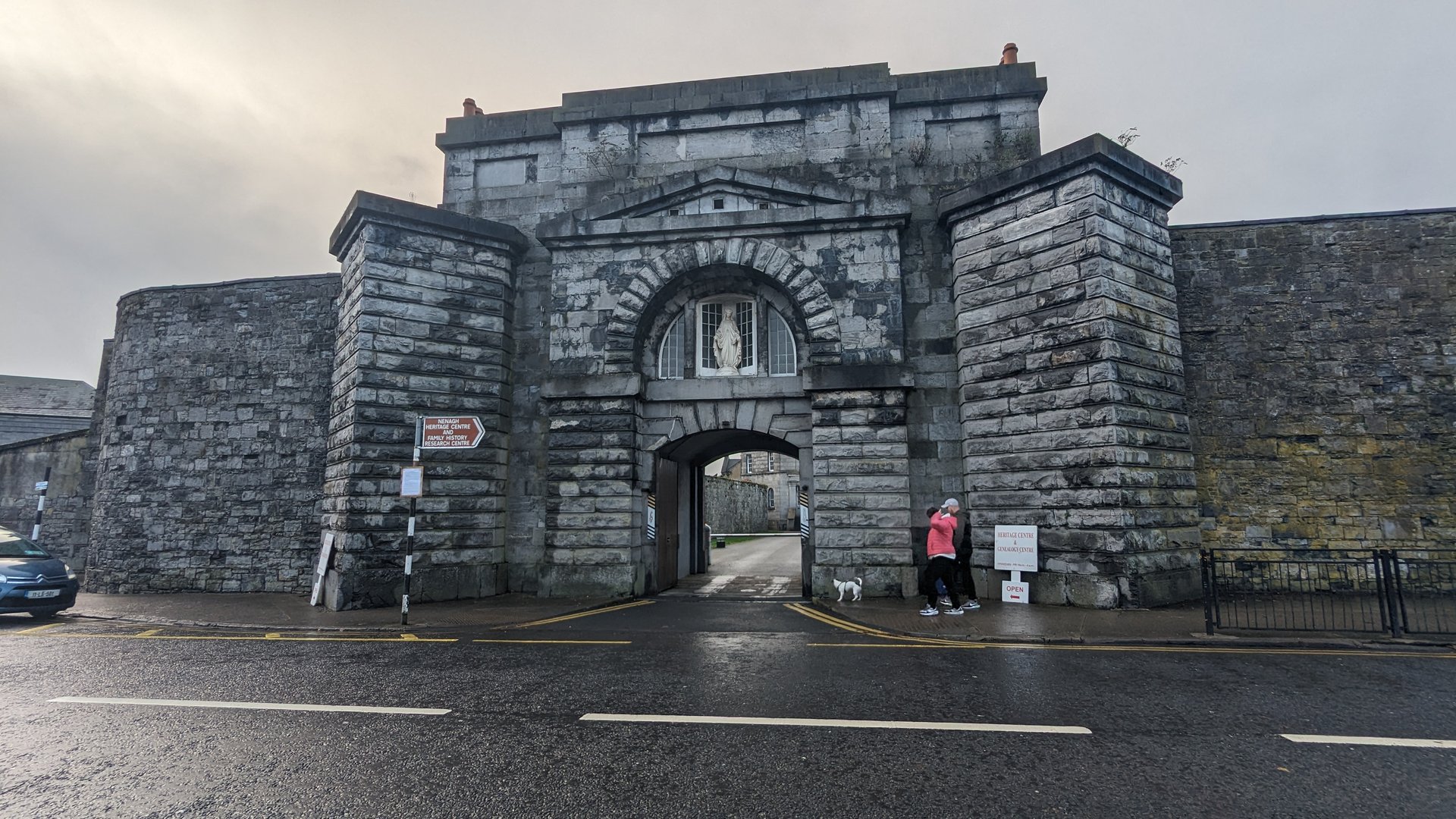
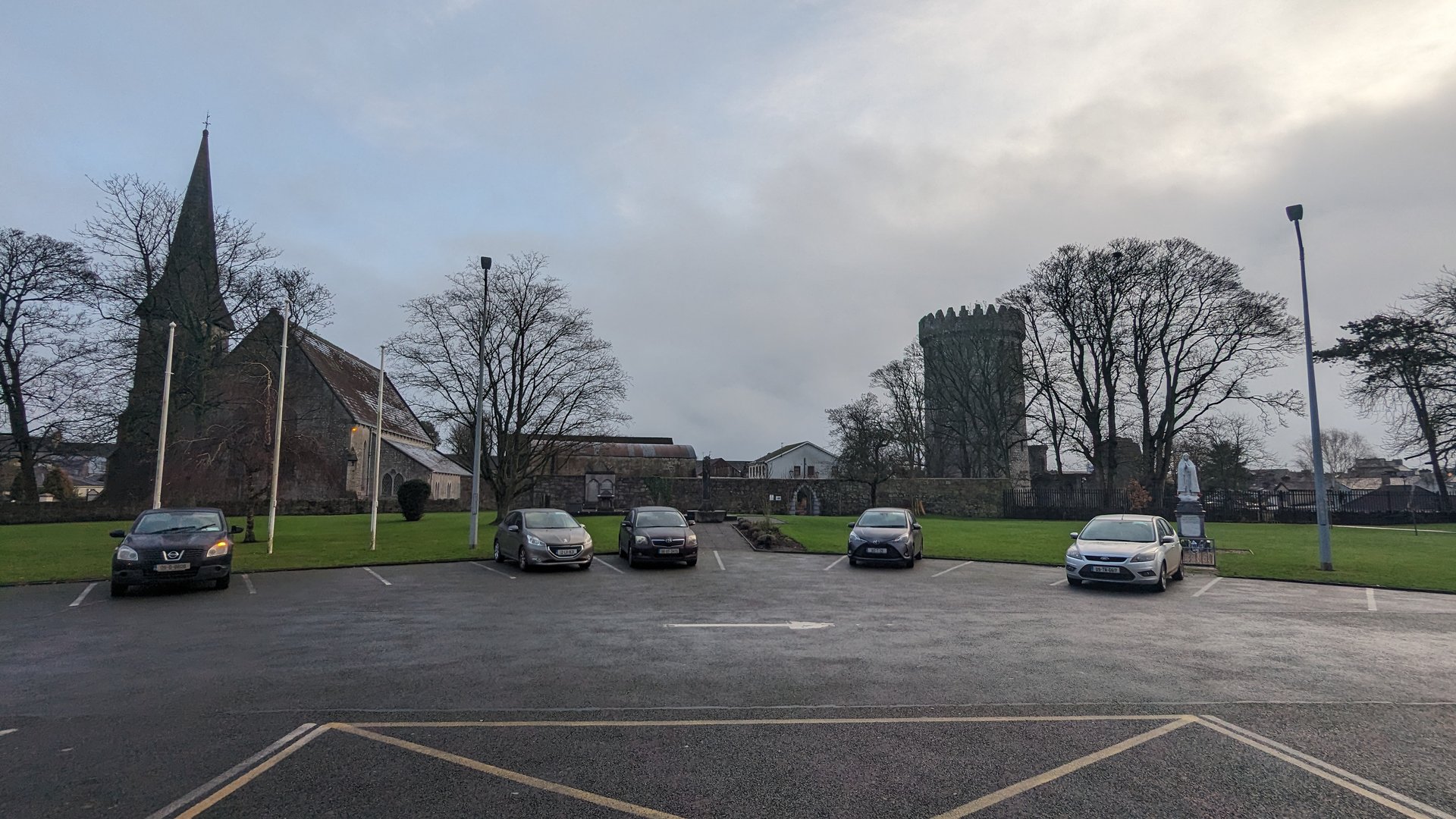
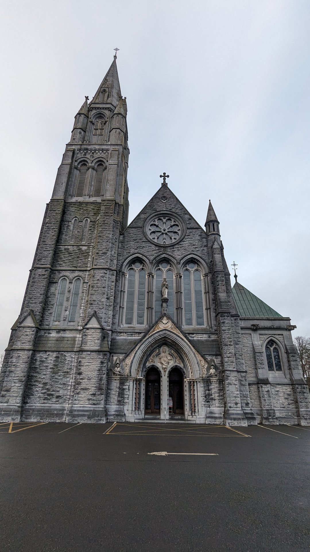
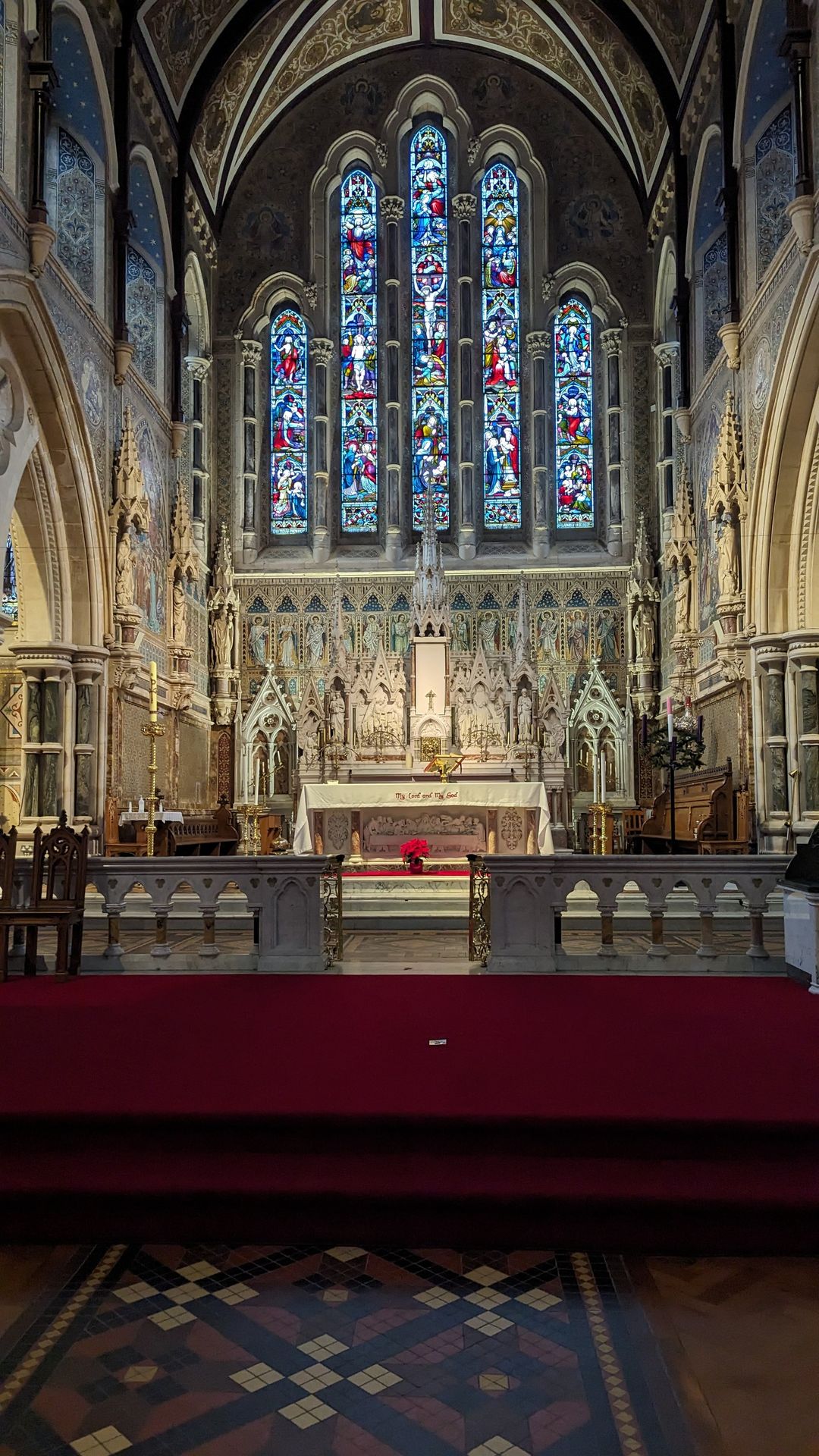
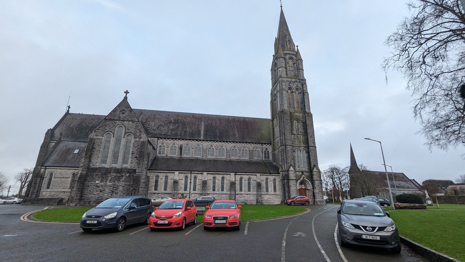
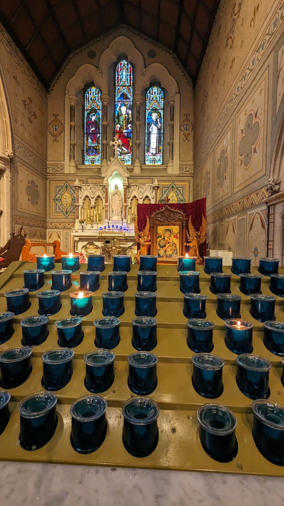
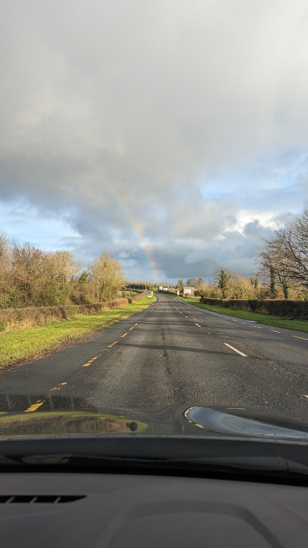
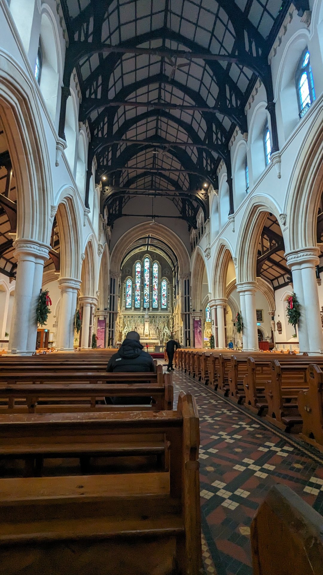
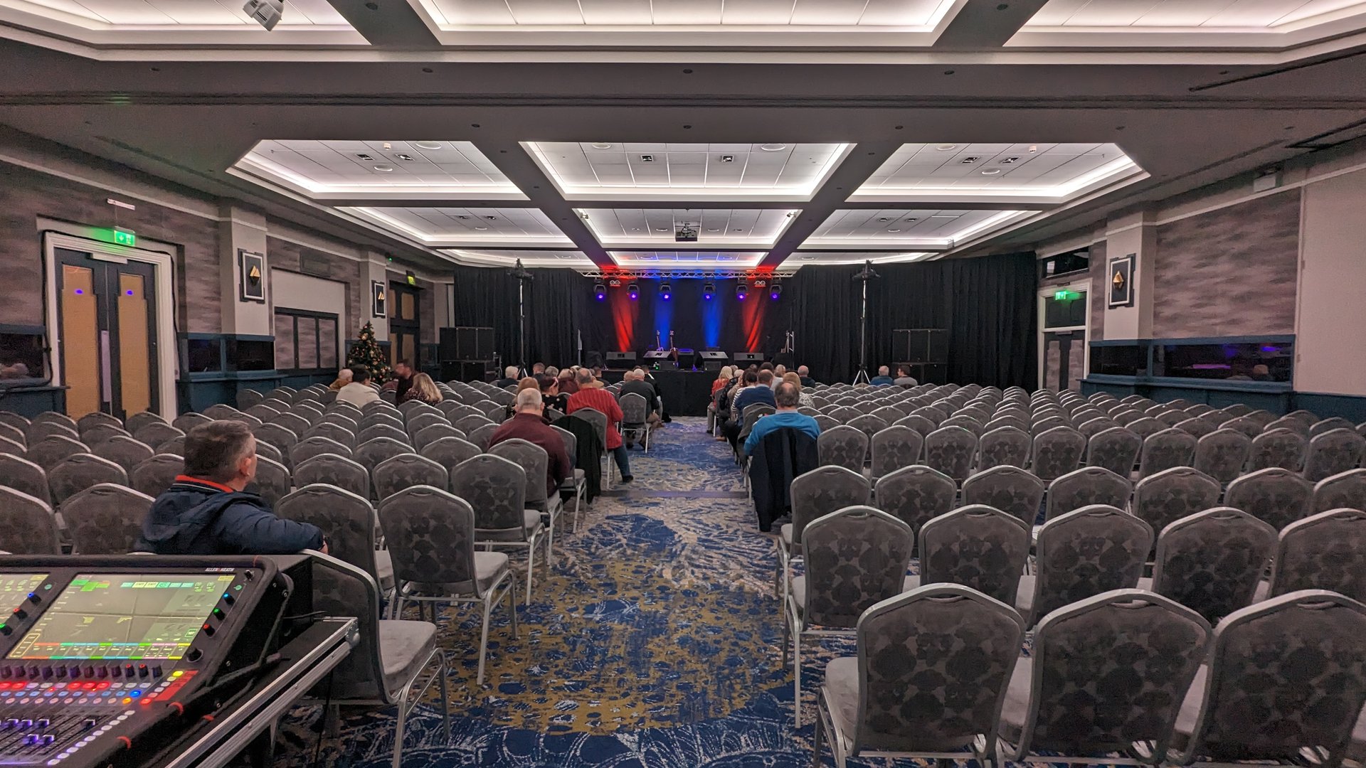
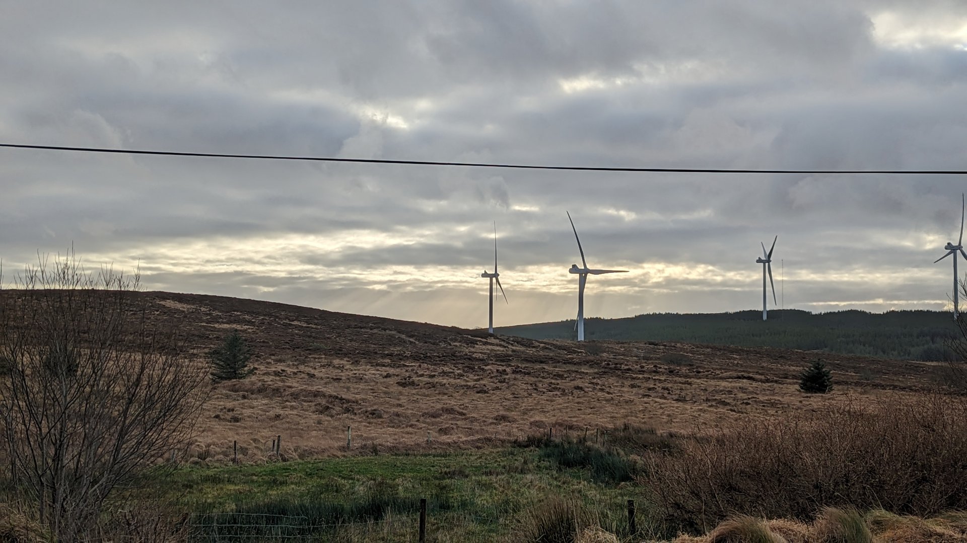
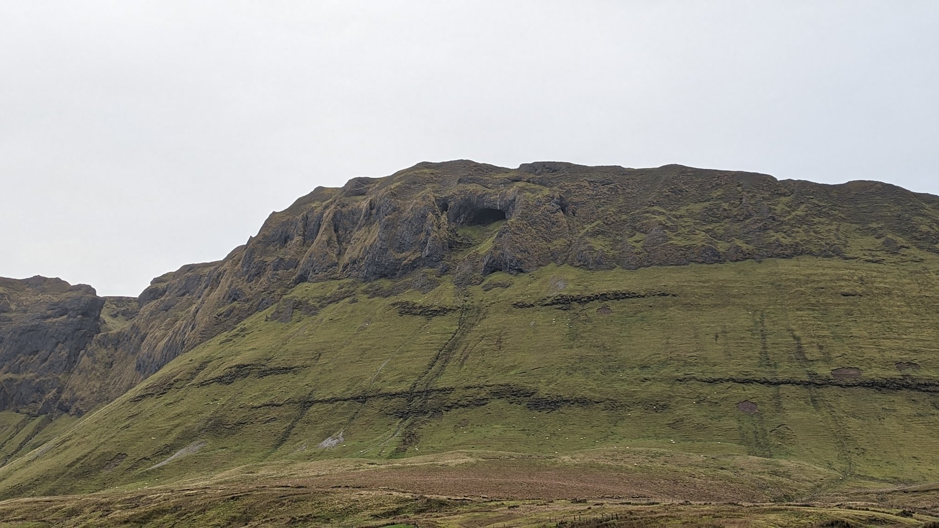
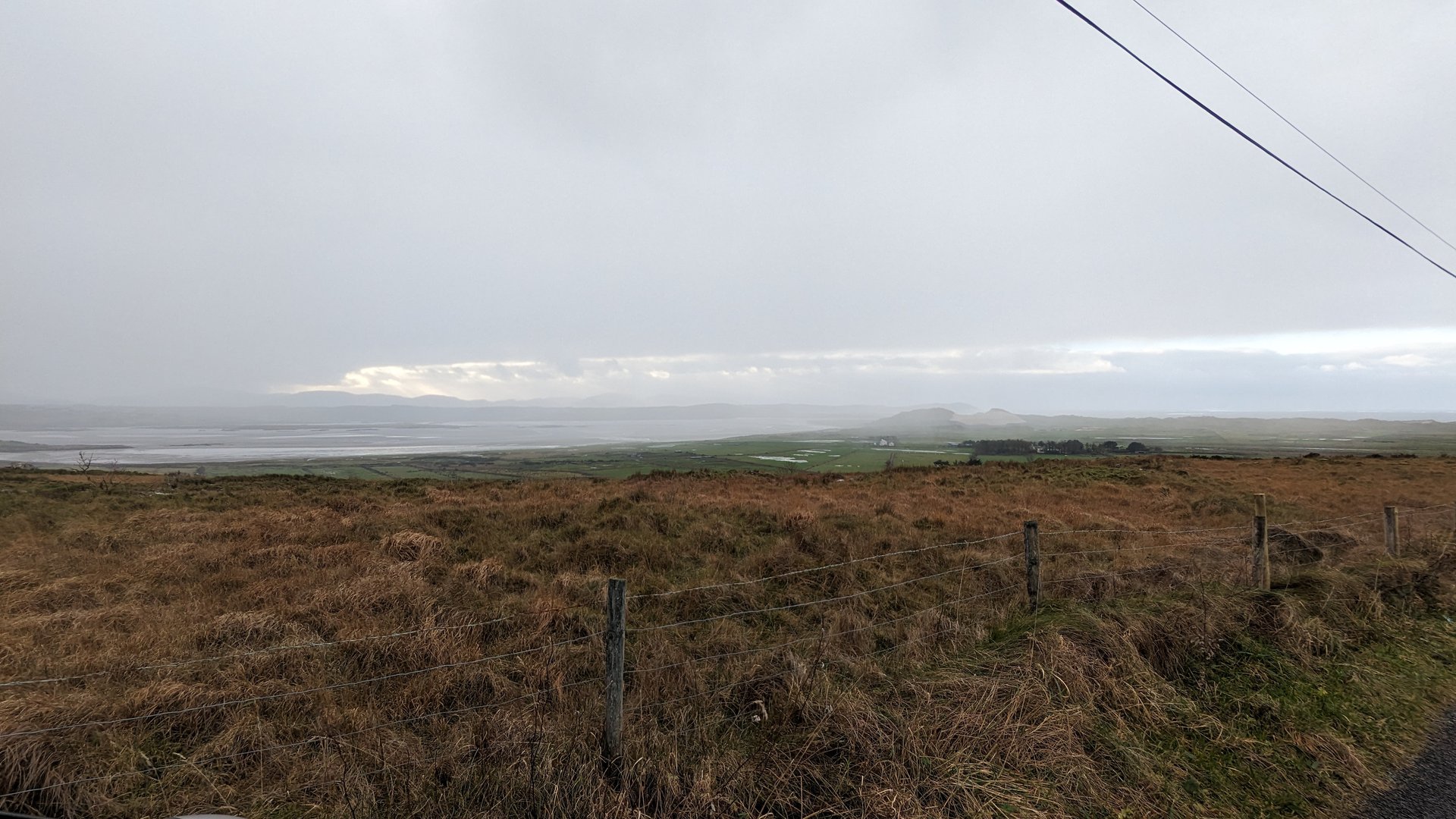
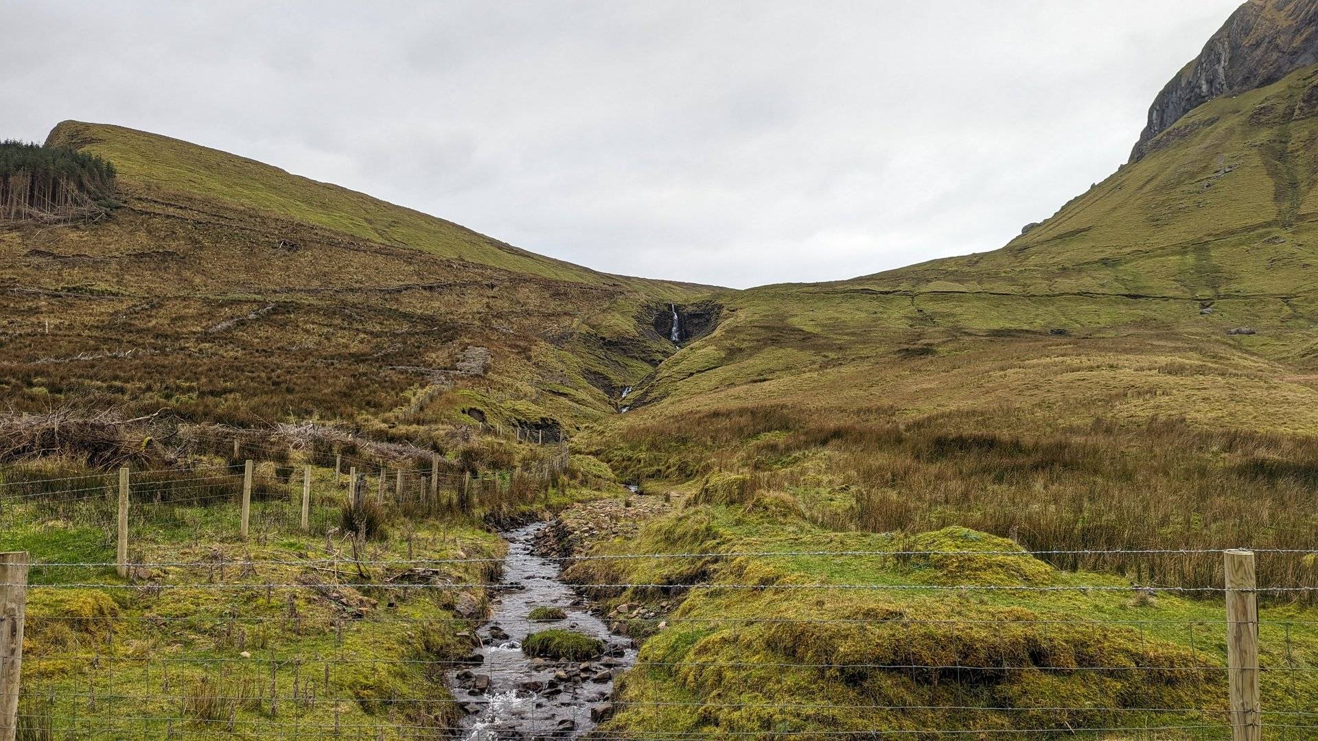
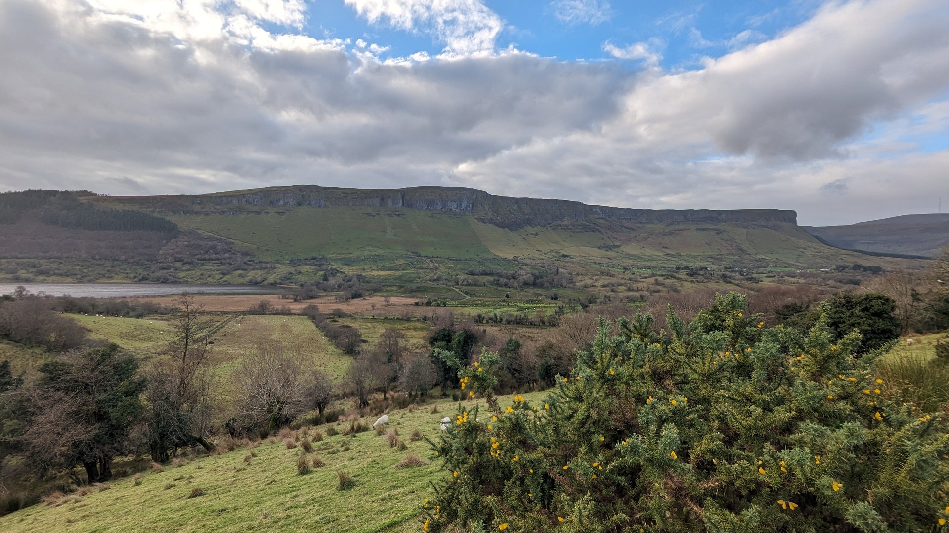
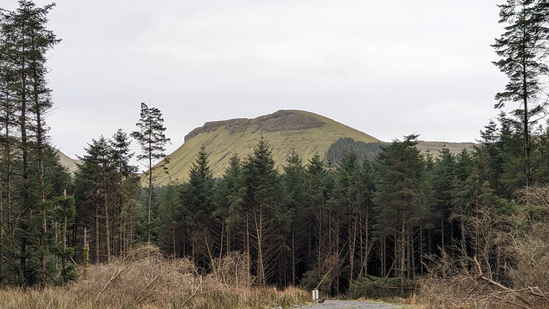
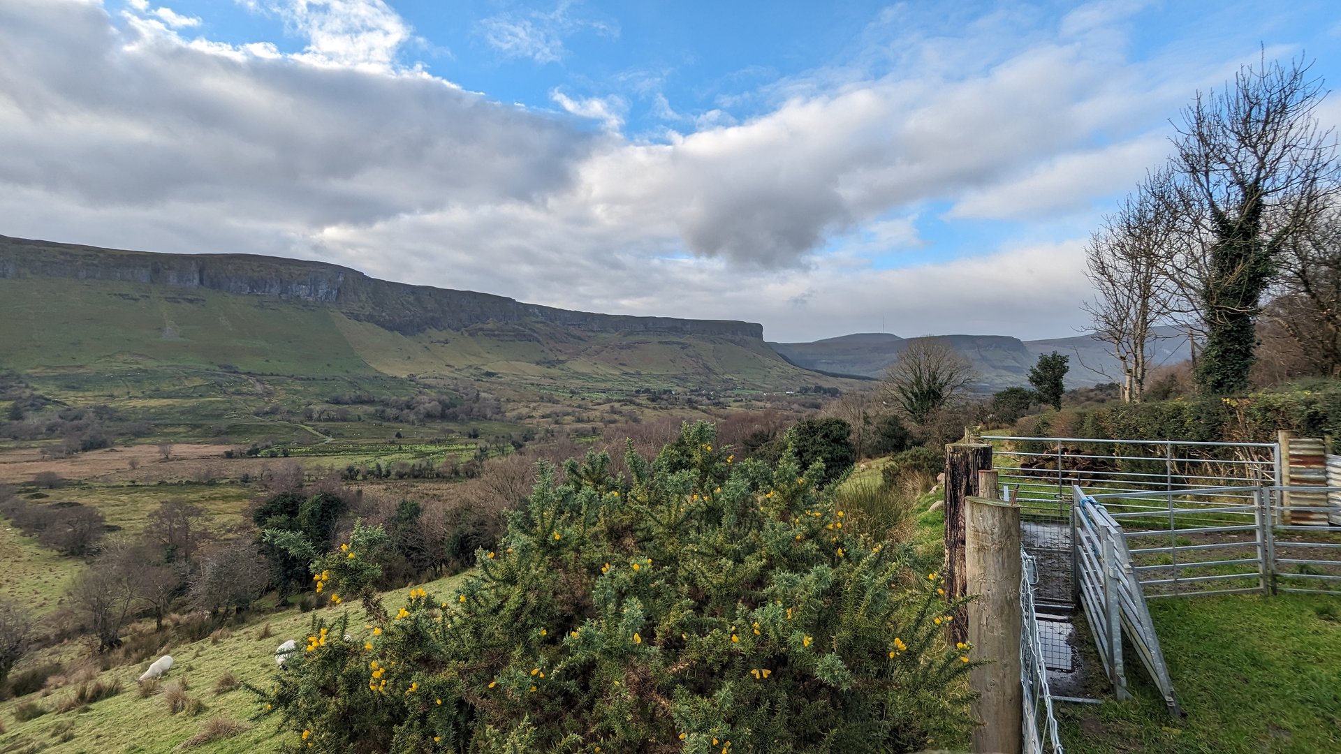
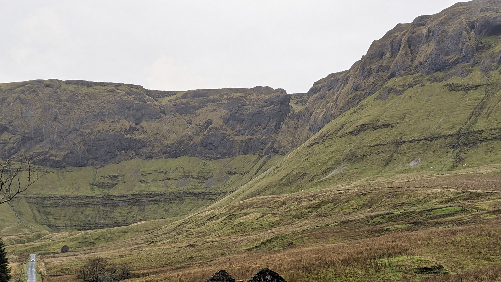
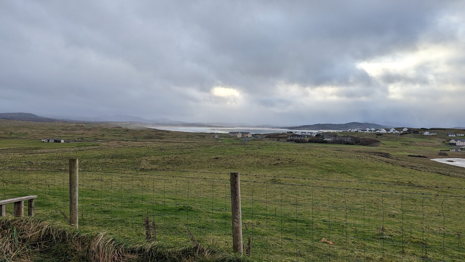
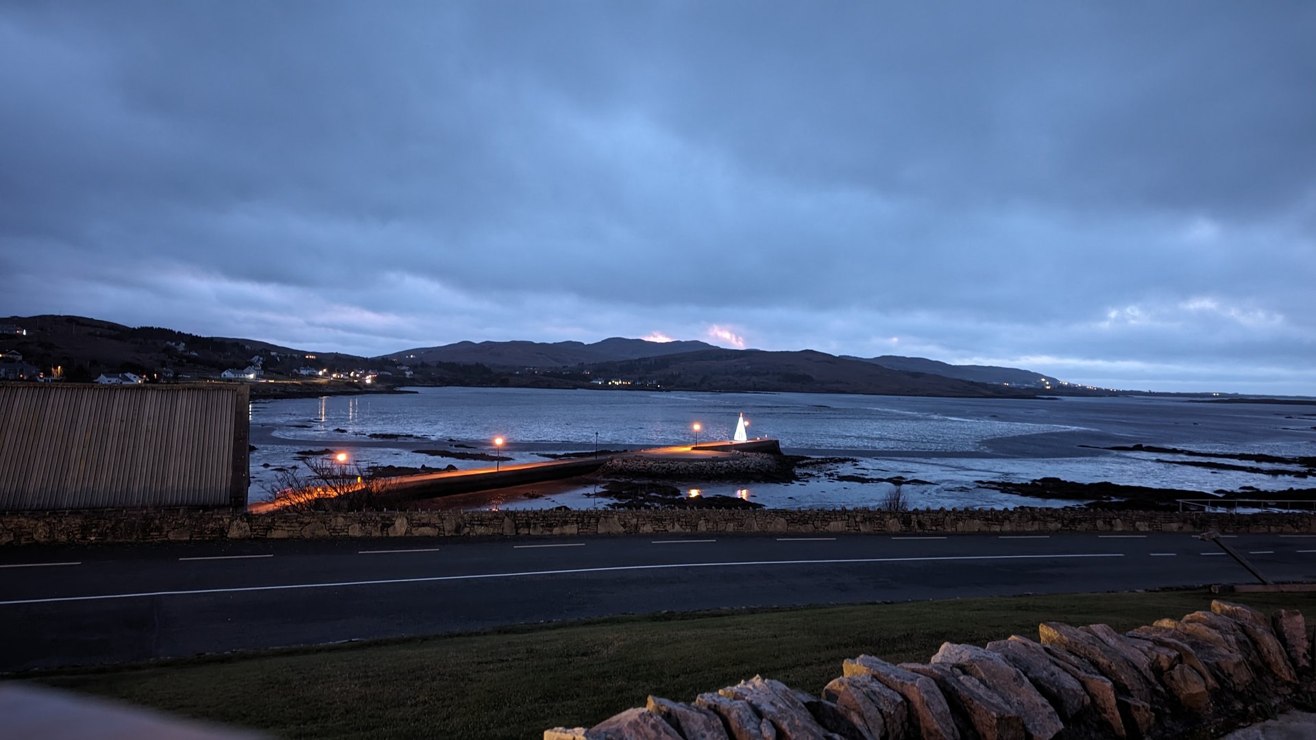
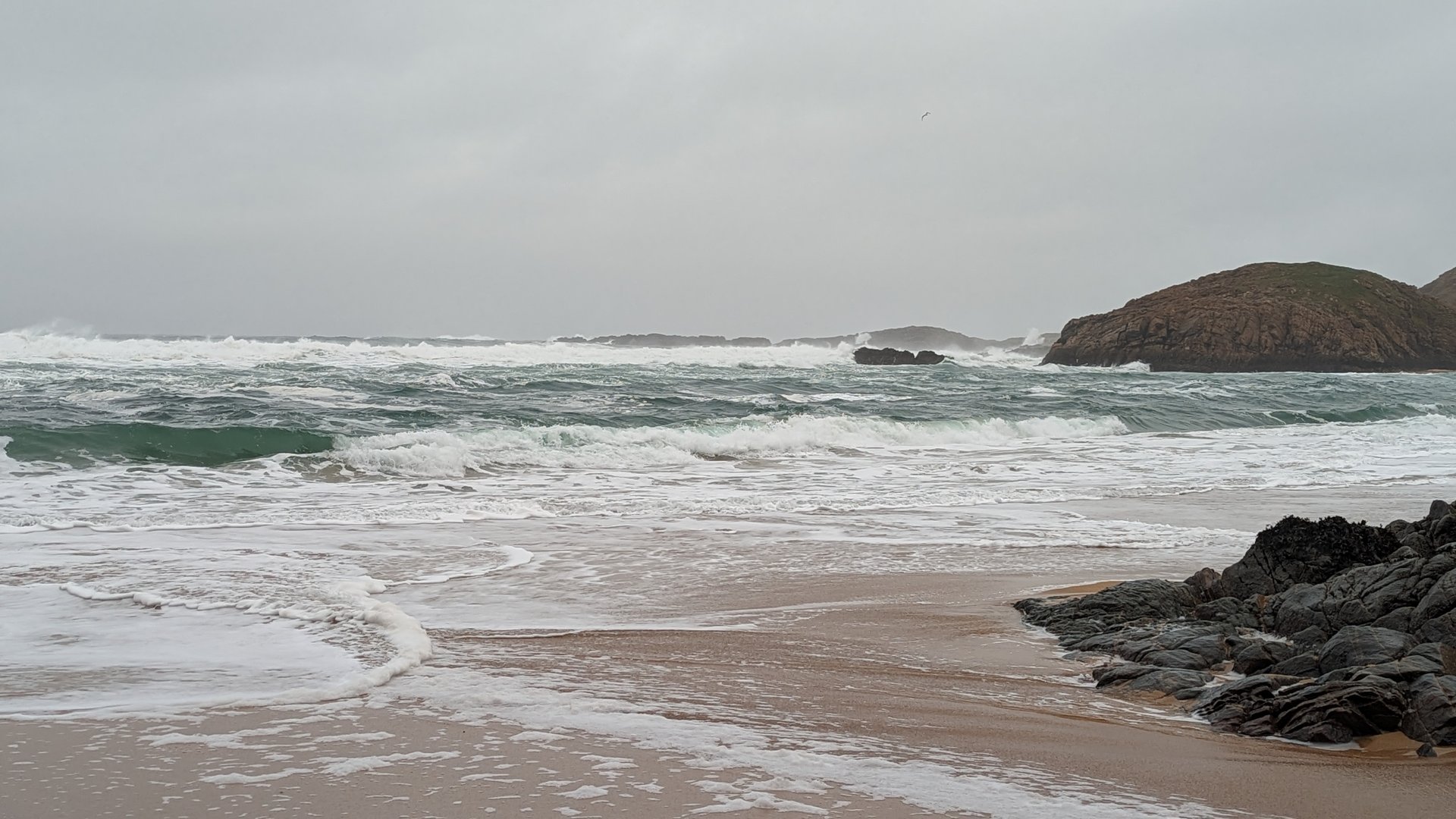
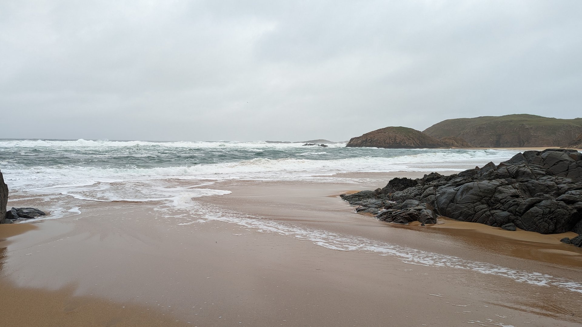
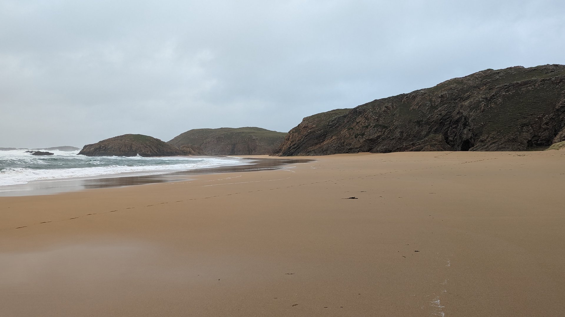
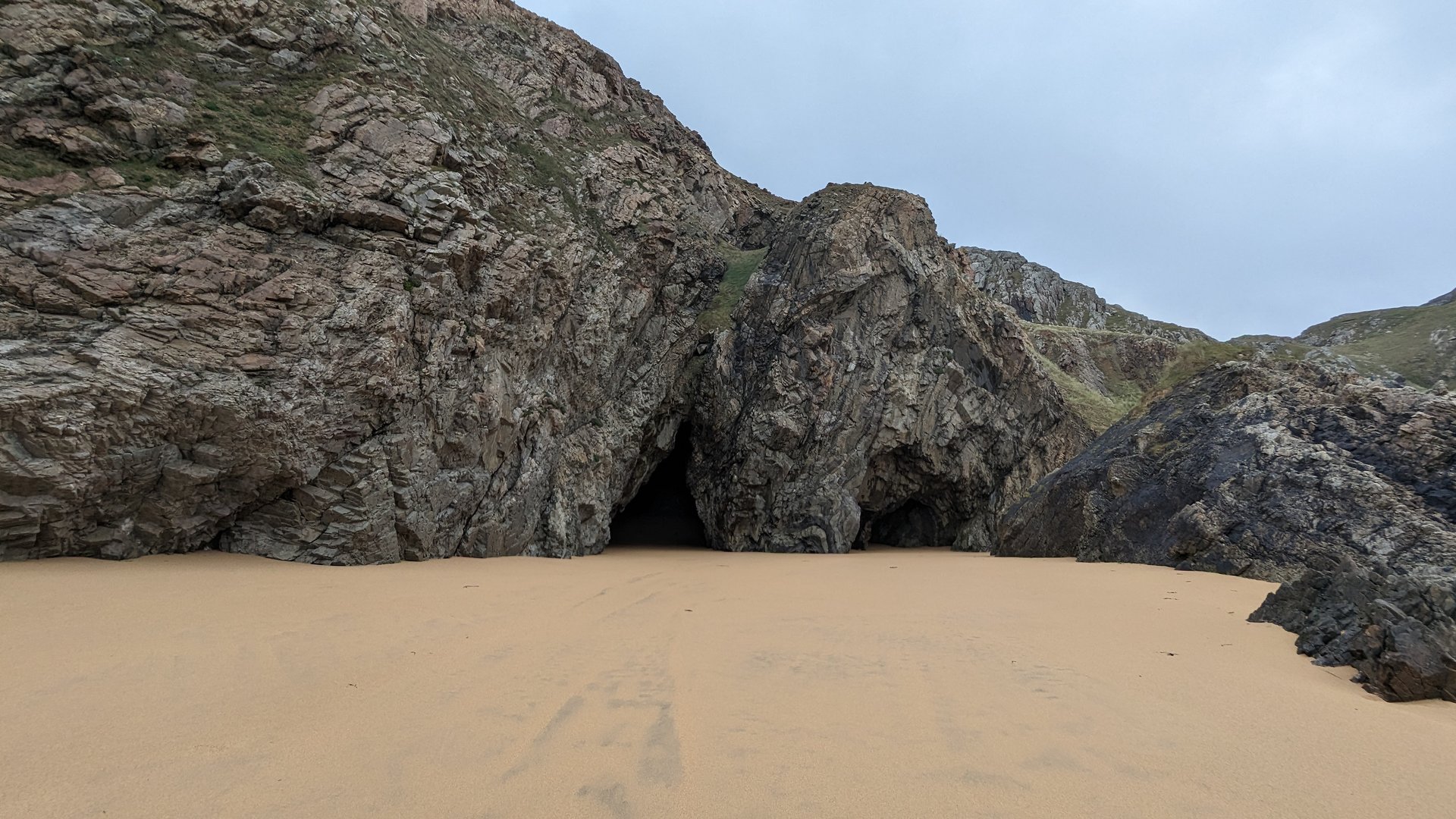
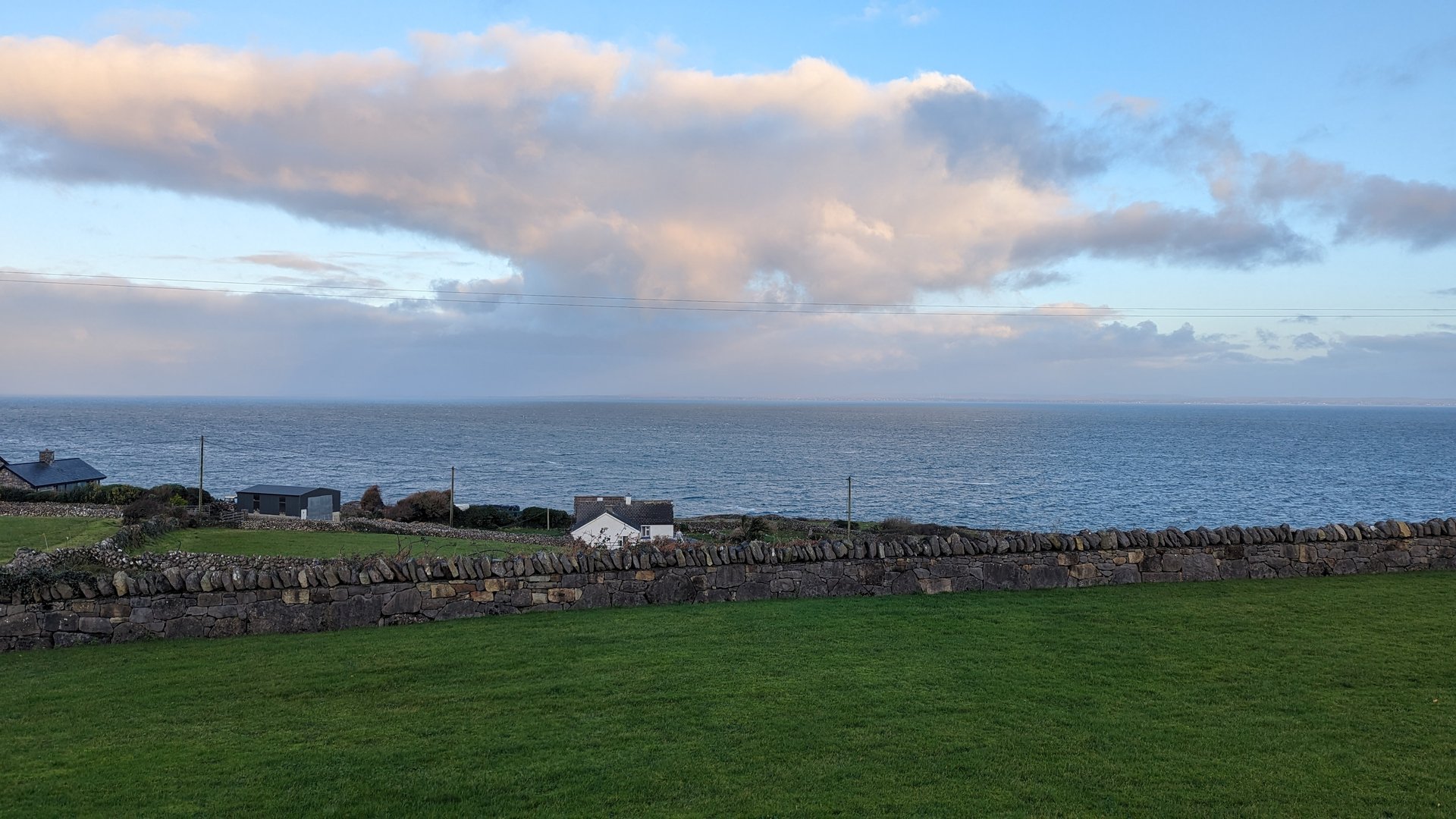
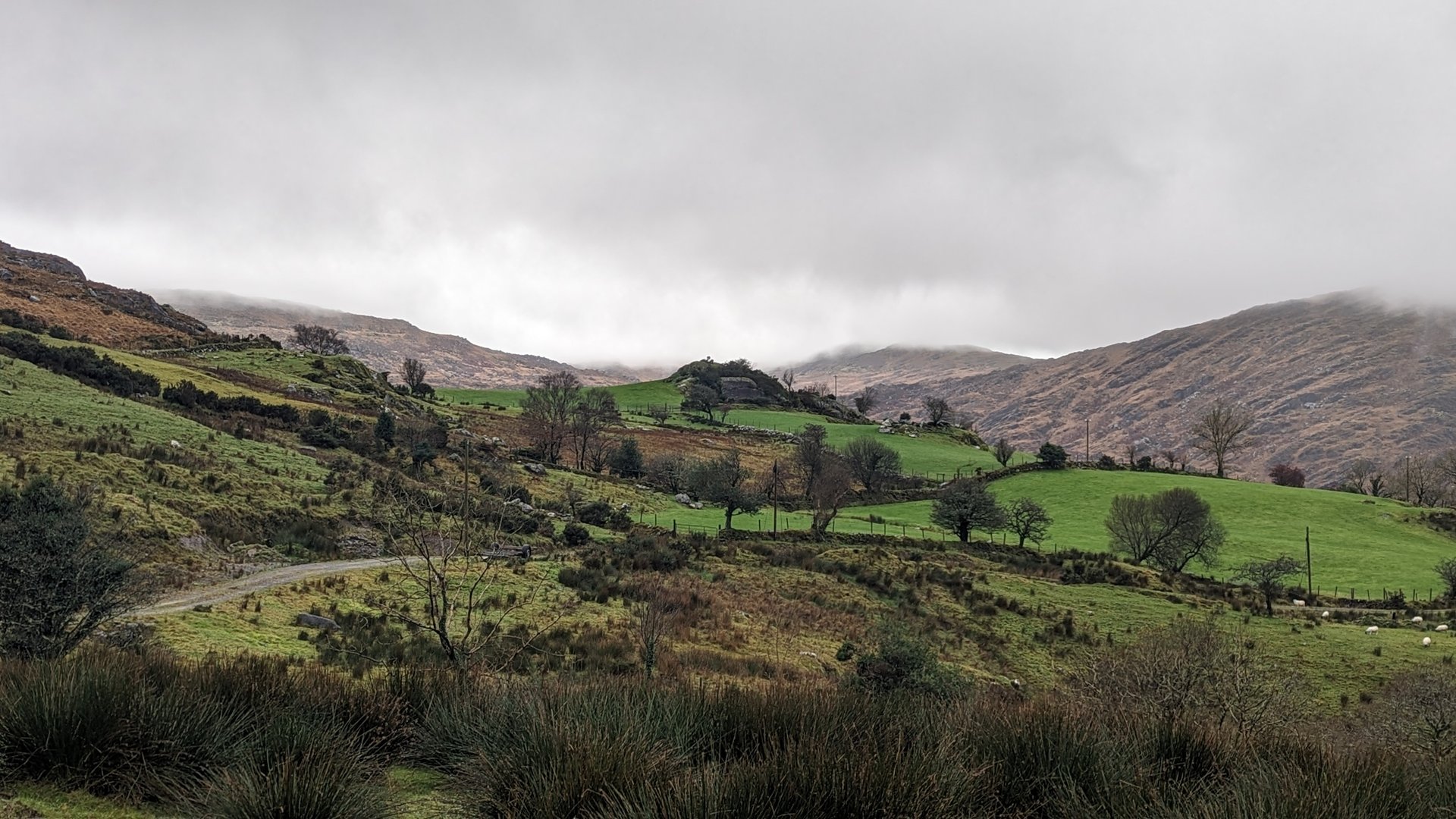
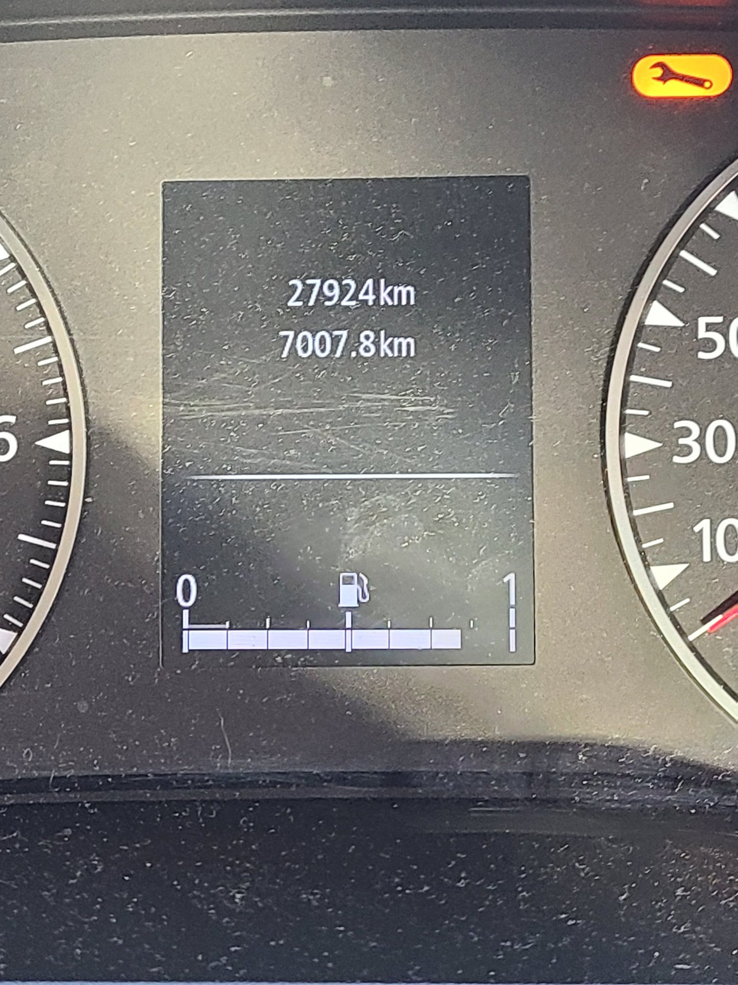
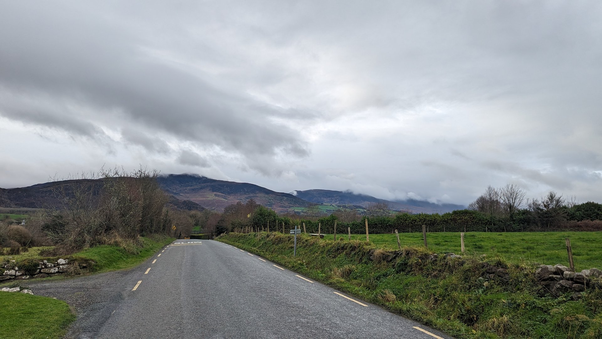
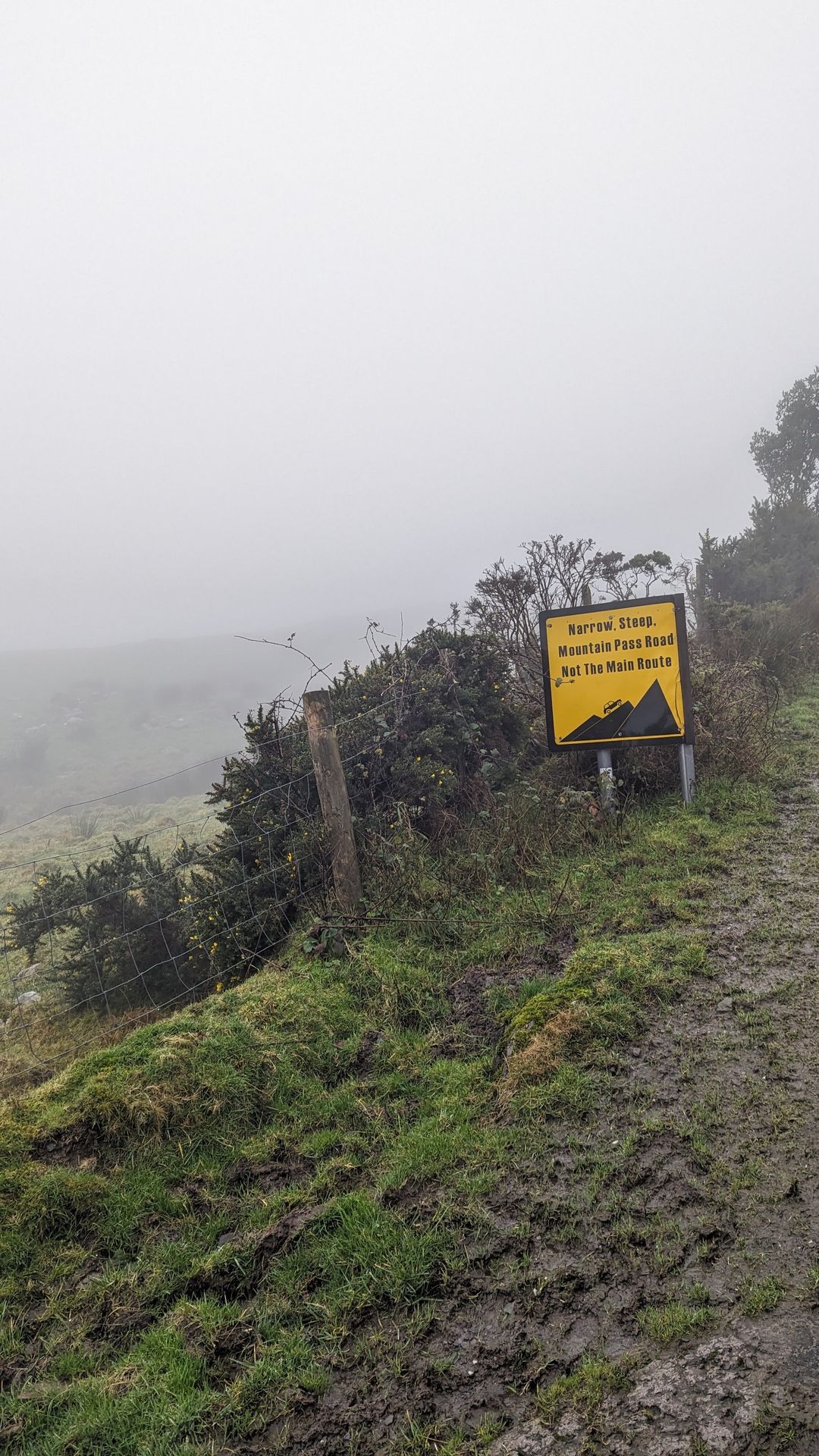
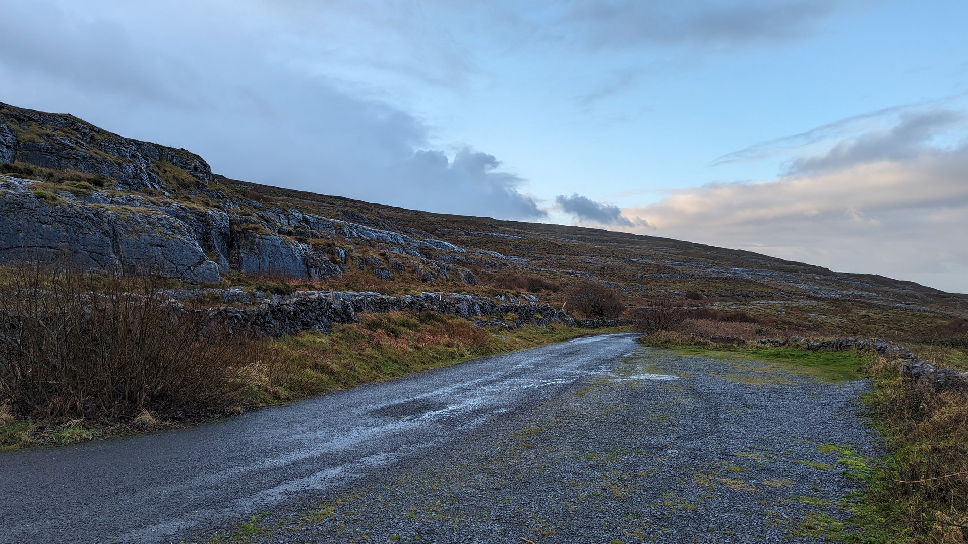
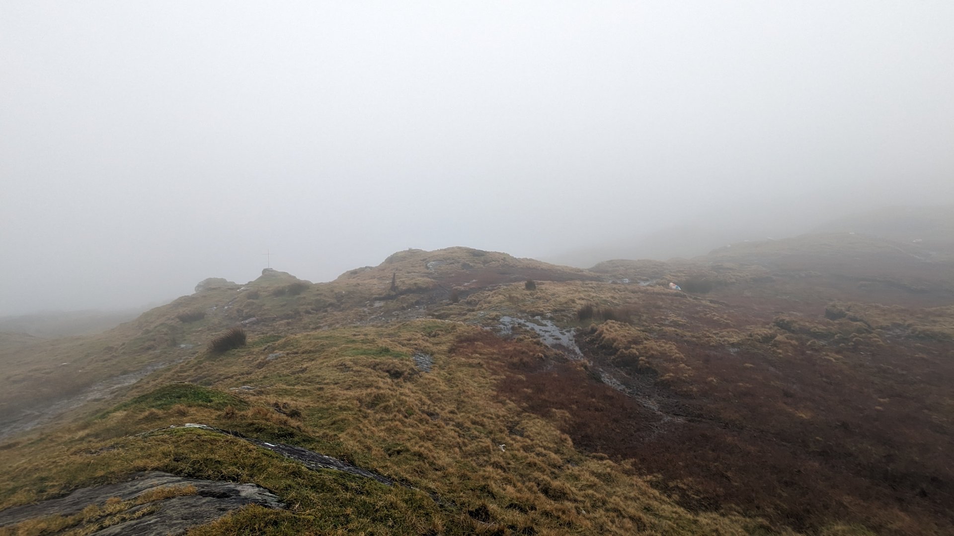
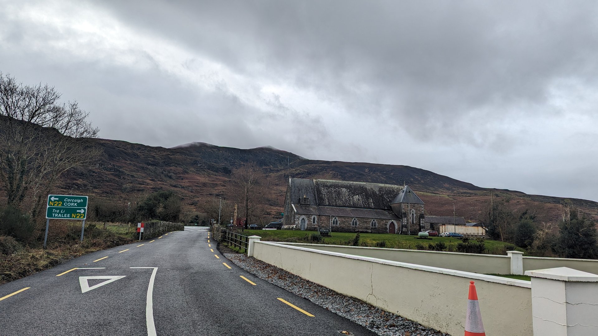
Day 1 journey of 112 km (70 miles) through Wells, County Wexford, Killenagh, County Wexford, Ballycanew, County Wexford and other locations. The journey included substantial elevation changes with 1147 meters of ascent through rolling hills and coastal headlands. 10 photos captured along the route.
Wednesday, November 29, 2023
Ford, County Wexford→Wells, County Wexford→Killenagh, County Wexford→Ballycanew, County Wexford→Courtown, County Wexford→Ballynestragh, County Wexford→Ballylarkin, County Wexford→Ennereilly, County Wicklow→Dunganstown South, County Wicklow→Glenealy, County Wicklow→Killiskey, County Wicklow→Newcastle Lower, County Wicklow→Newcastle Upper, County Wicklow→Kilmacanoge, County Wicklow→Shankill, County Dublin→Cornelscourt, County Dublin→Pembroke East D Ward 1986, County Dublin→Forest & Marcy→Wood Quay A, County Dublin→Leonardo Hotel Dublin Christchurch
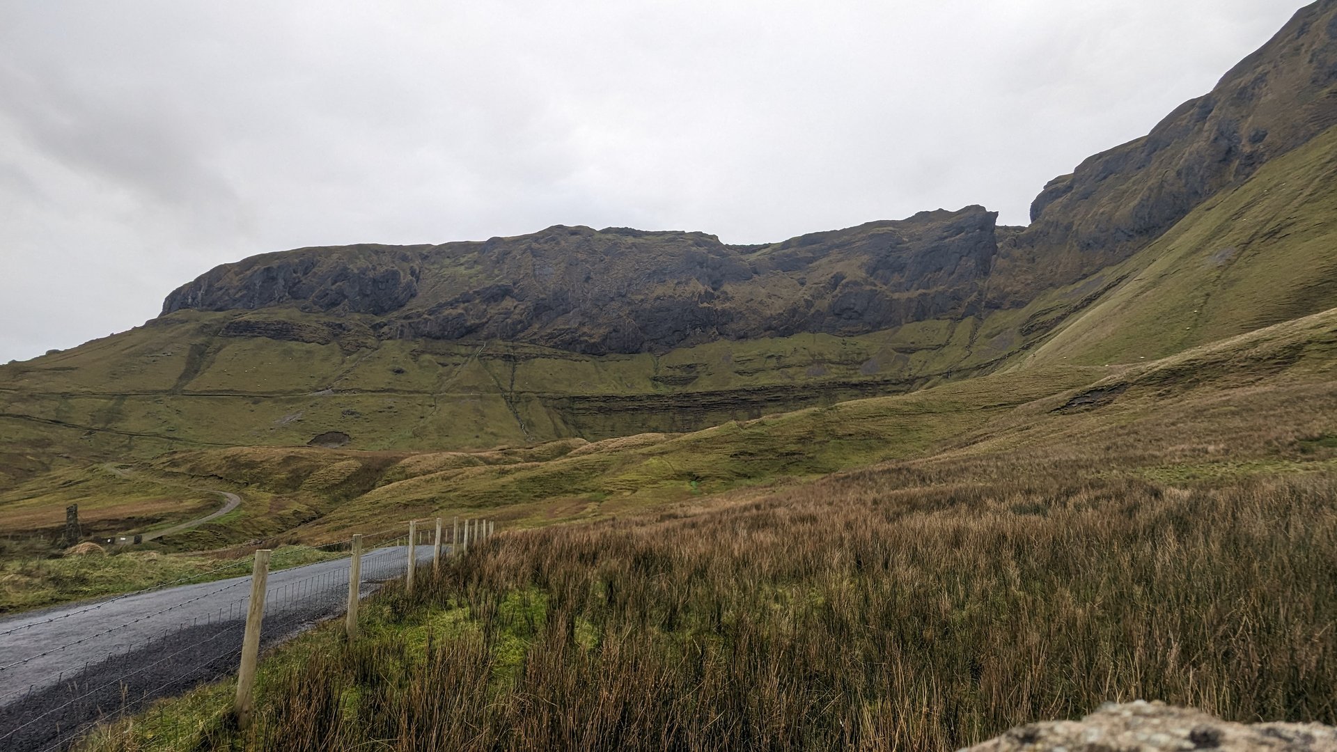
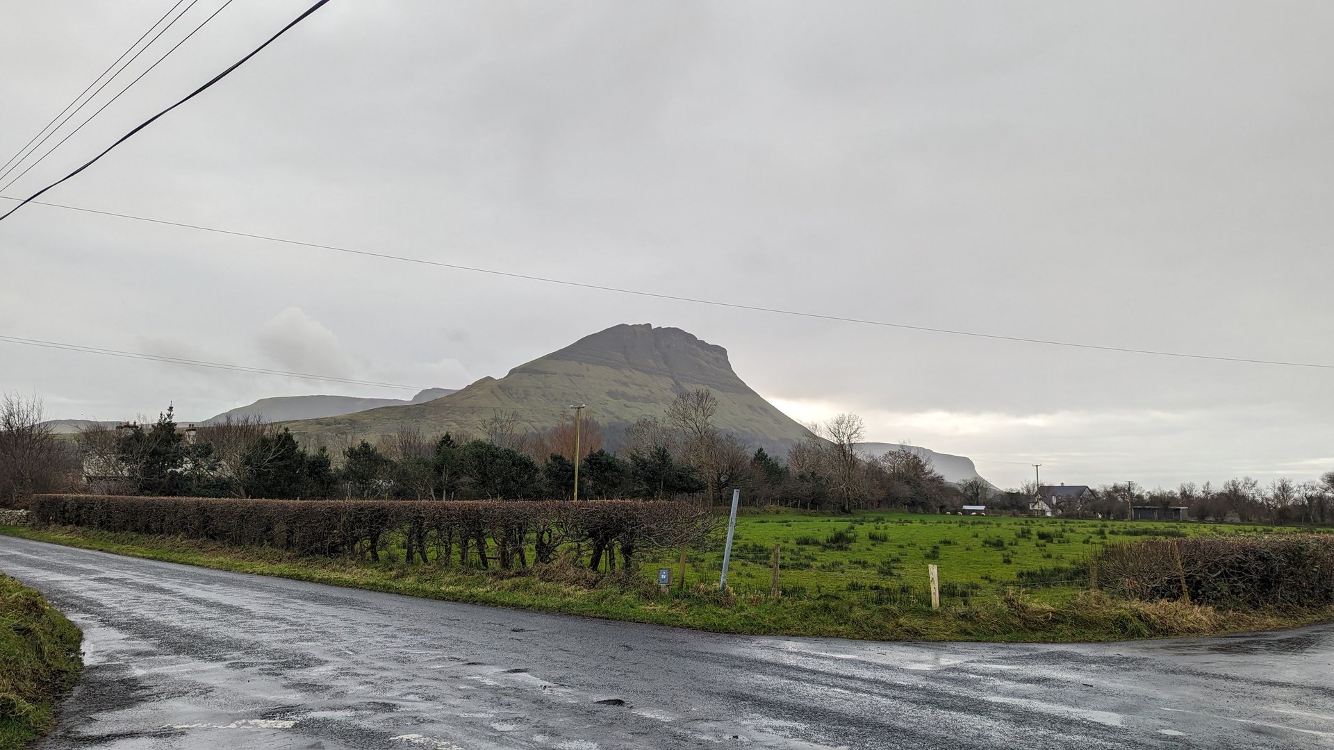
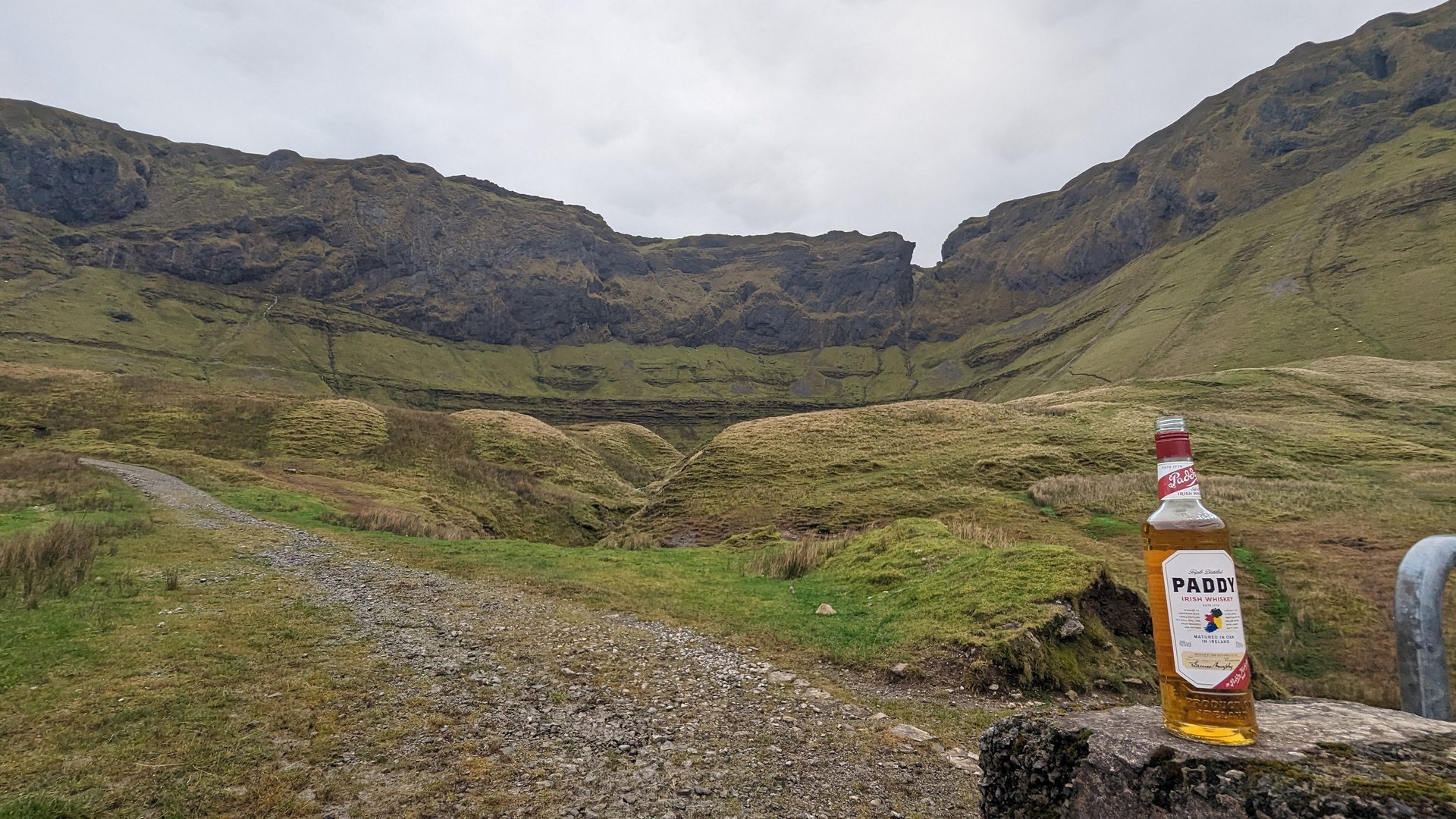
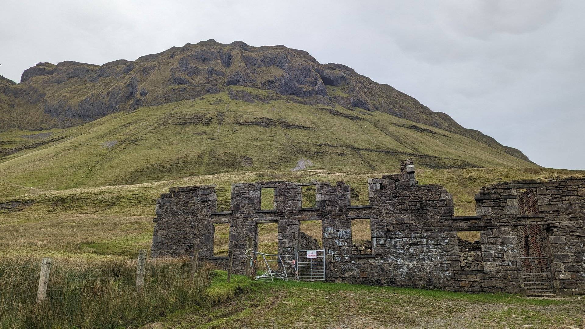
Day 2 journey of 231 km (144 miles) through Grangegeeth, County Meath, Collon, County Louth, Drumboory, County Monaghan and other locations. The route featured significant climbing with 2175 meters of elevation gain, traversing mountainous terrain with 2 photos.
Thursday, November 30, 2023
Grangegeeth, County Meath→Collon, County Louth→Drumboory, County Monaghan→Kilmurry, County Monaghan→Broomfield, County Monaghan→Carrickaslane, County Monaghan→Clontibret, County Monaghan→Castleshane, County Monaghan→Monaghan, County Monaghan→Enagh, County Monaghan→Emyvale, County Monaghan→Anketell Grove, County Monaghan→Aughnacloy, County Tyrone→Ballygawley, County Tyrone→Omagh→Newtownstewart→Newtownstewart, County Tyrone→Victoria Bridge, County Tyrone→Sion Mills, County Tyrone→Lisnafin, County Tyrone→Ballymagorry, County Tyrone→Bready, County Tyrone→Prehen, County Londonderry→Waterside, County Londonderry→Caw, County Londonderry→Steelstown, County Londonderry→Kilderry, County Donegal→Three Trees, County Donegal→Whitecastle, County Donegal→Glentogher, County Donegal→Carndonagh, County Donegal→Malin, County Donegal→Ardmalin, County Donegal
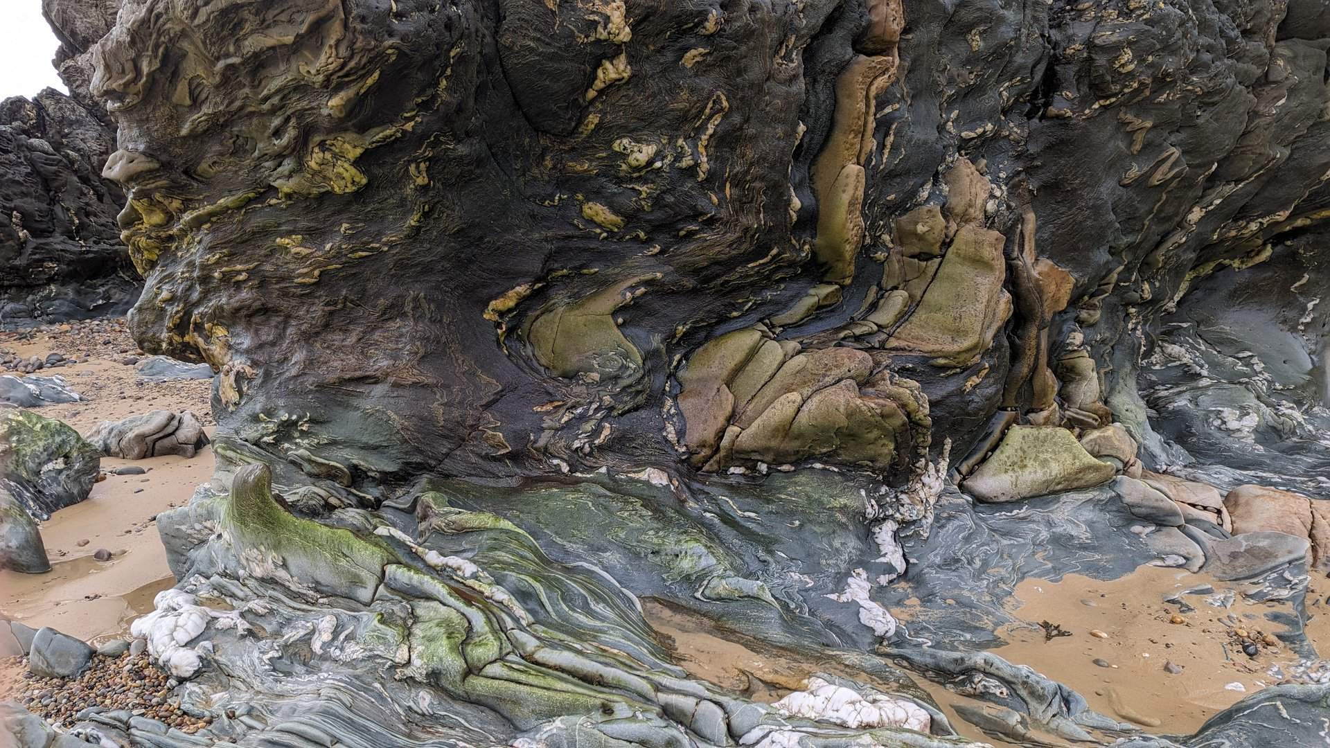
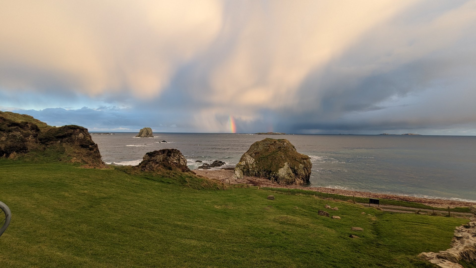
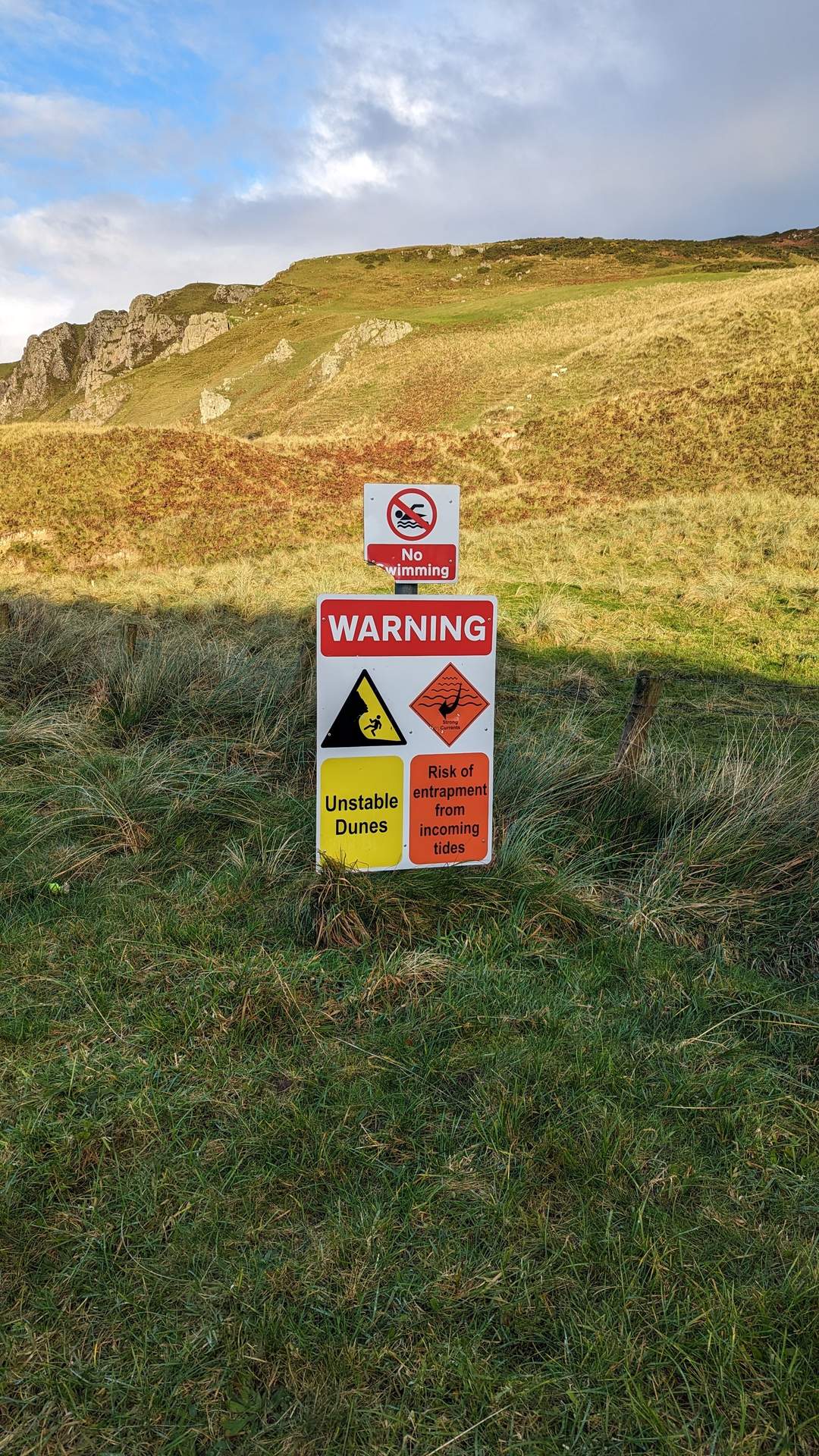
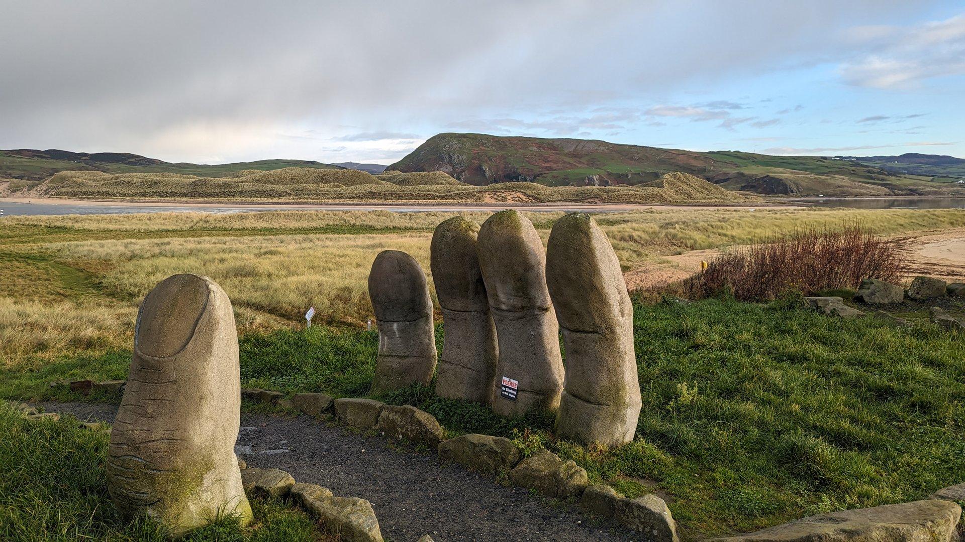
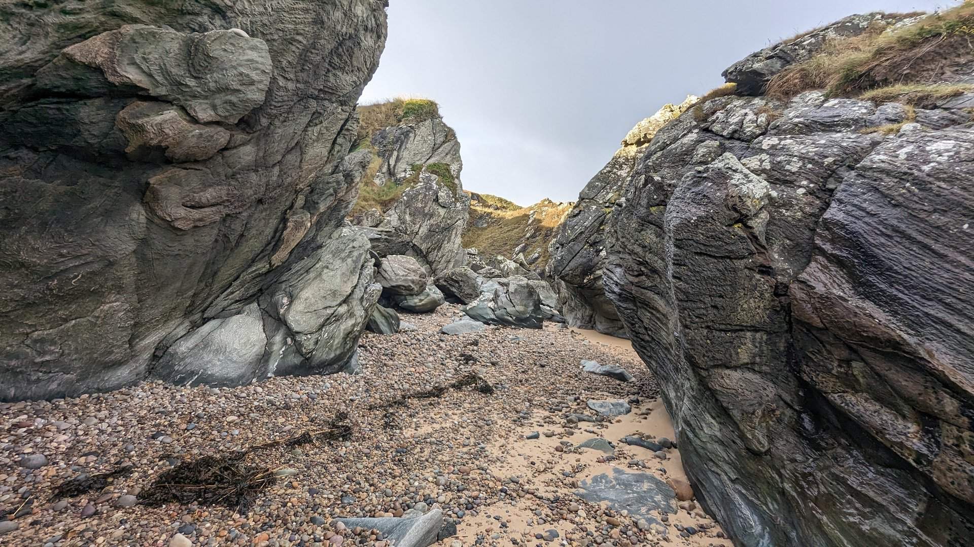
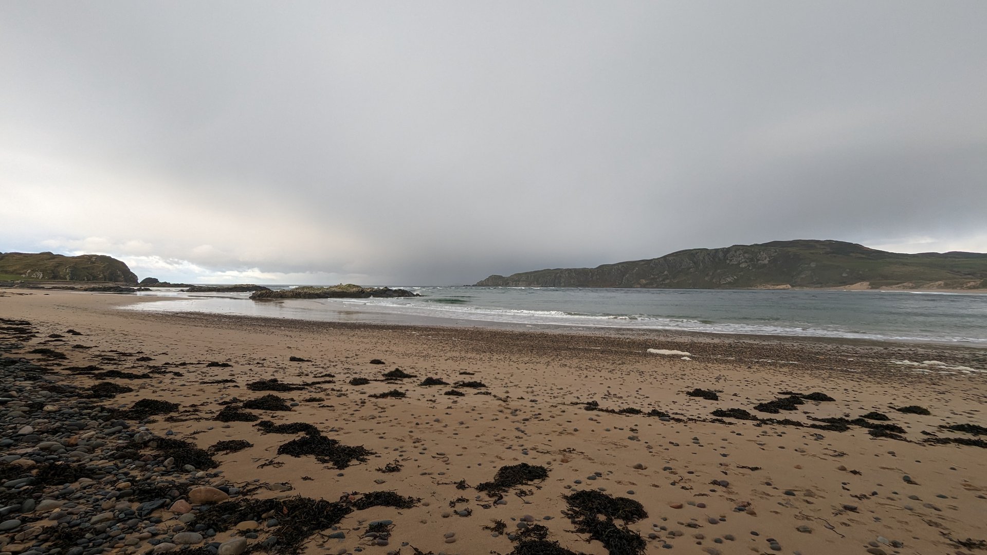
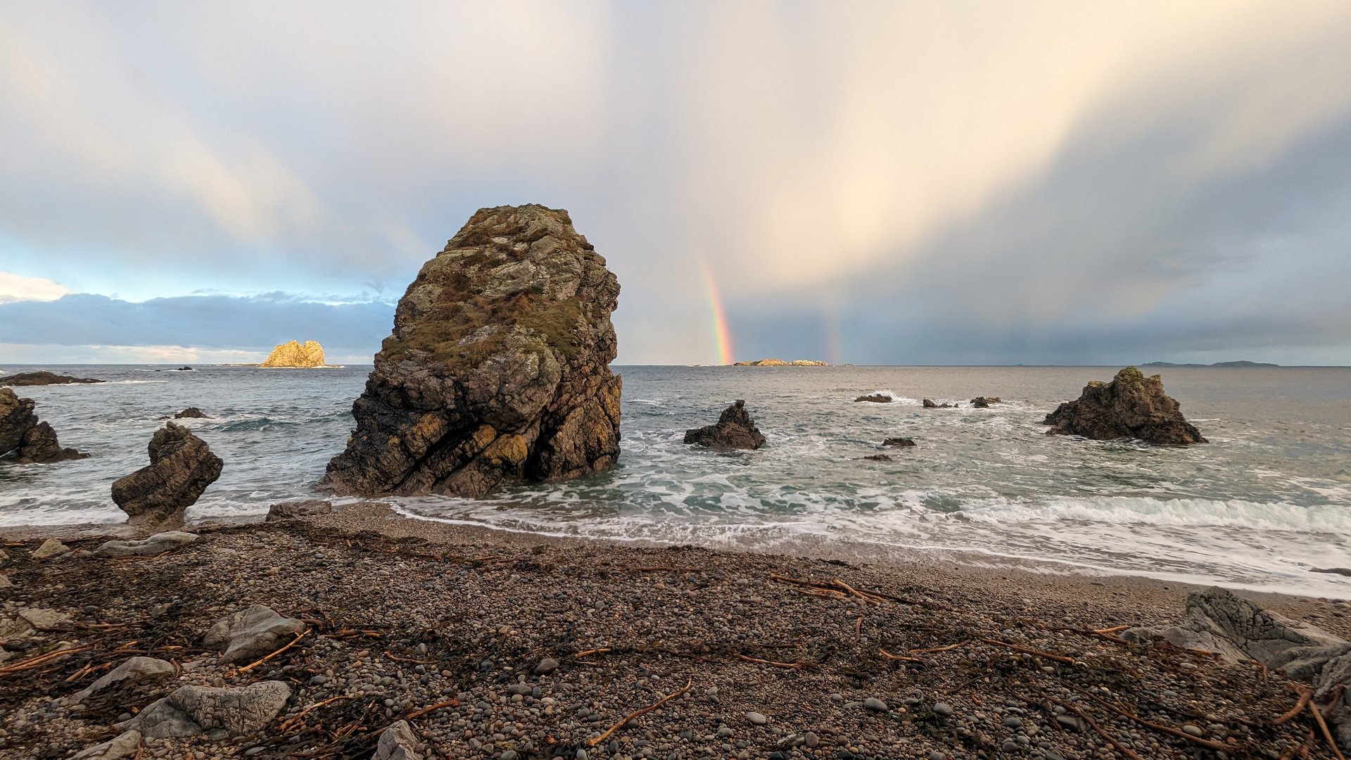
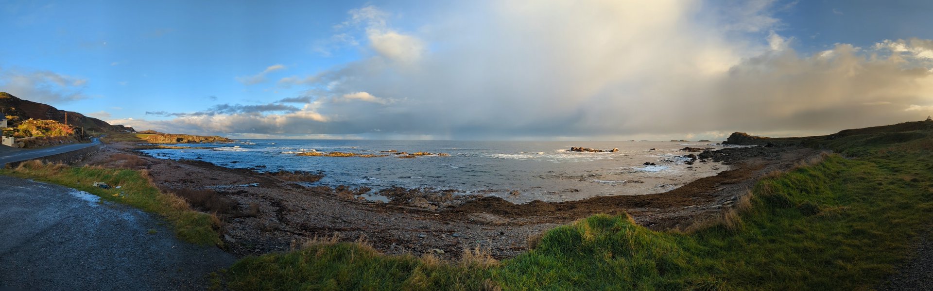
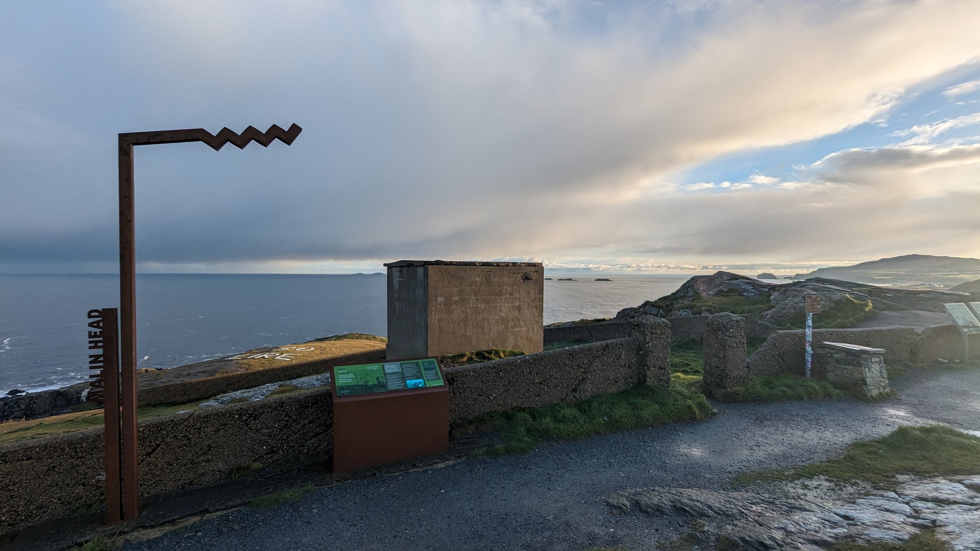
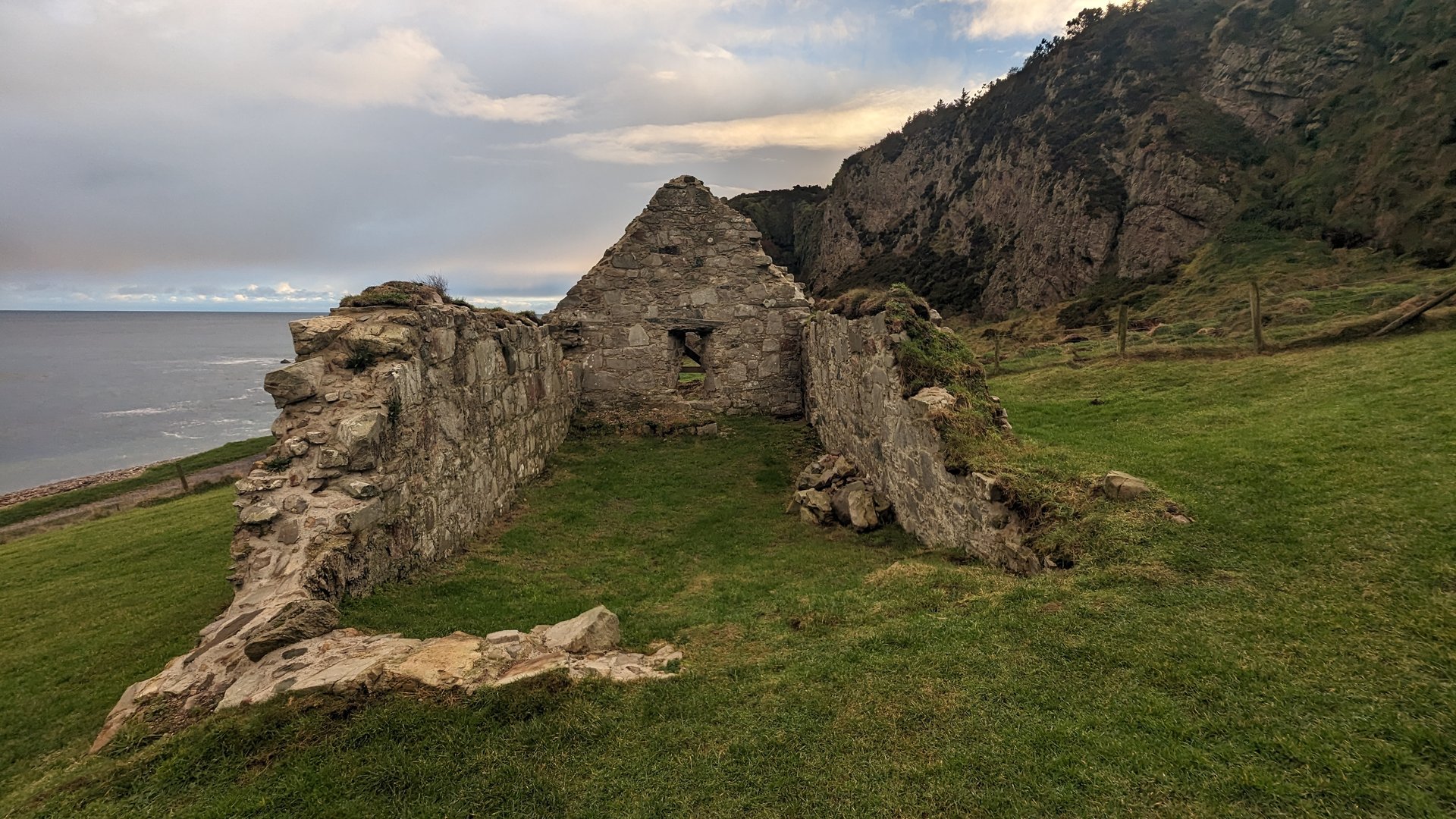
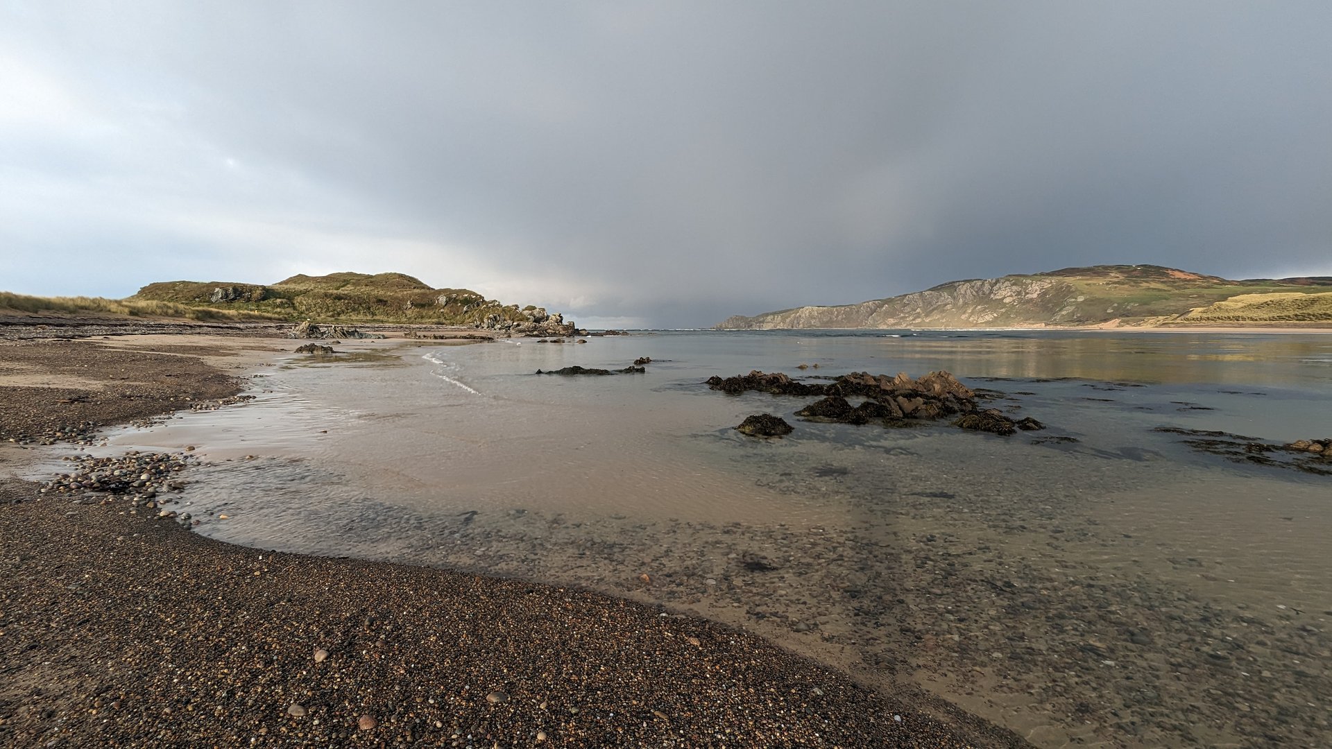
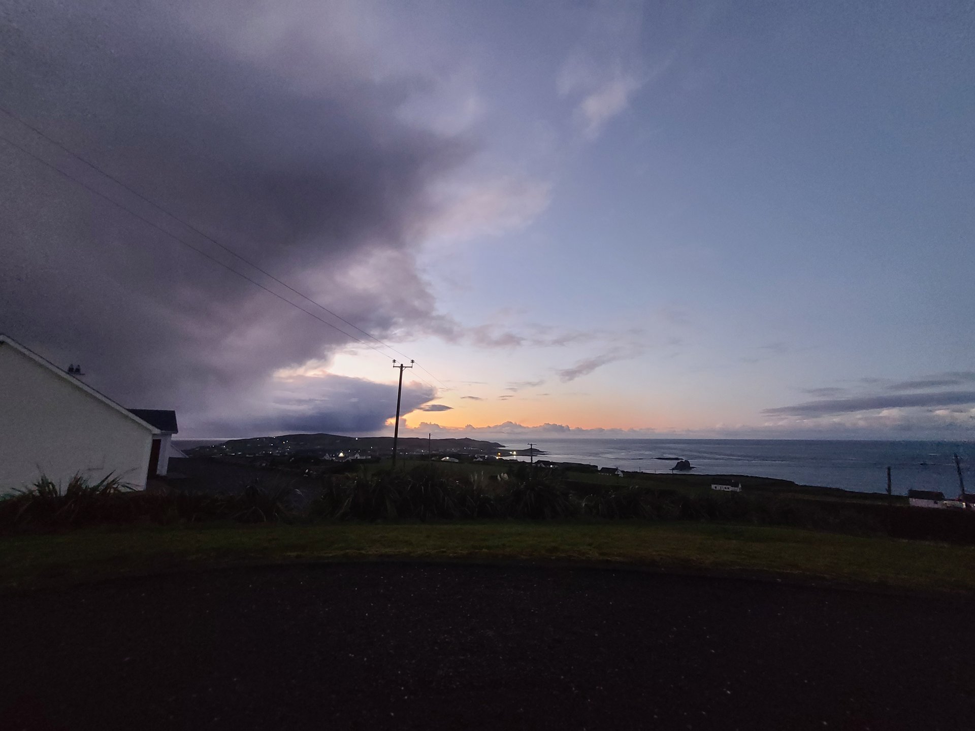
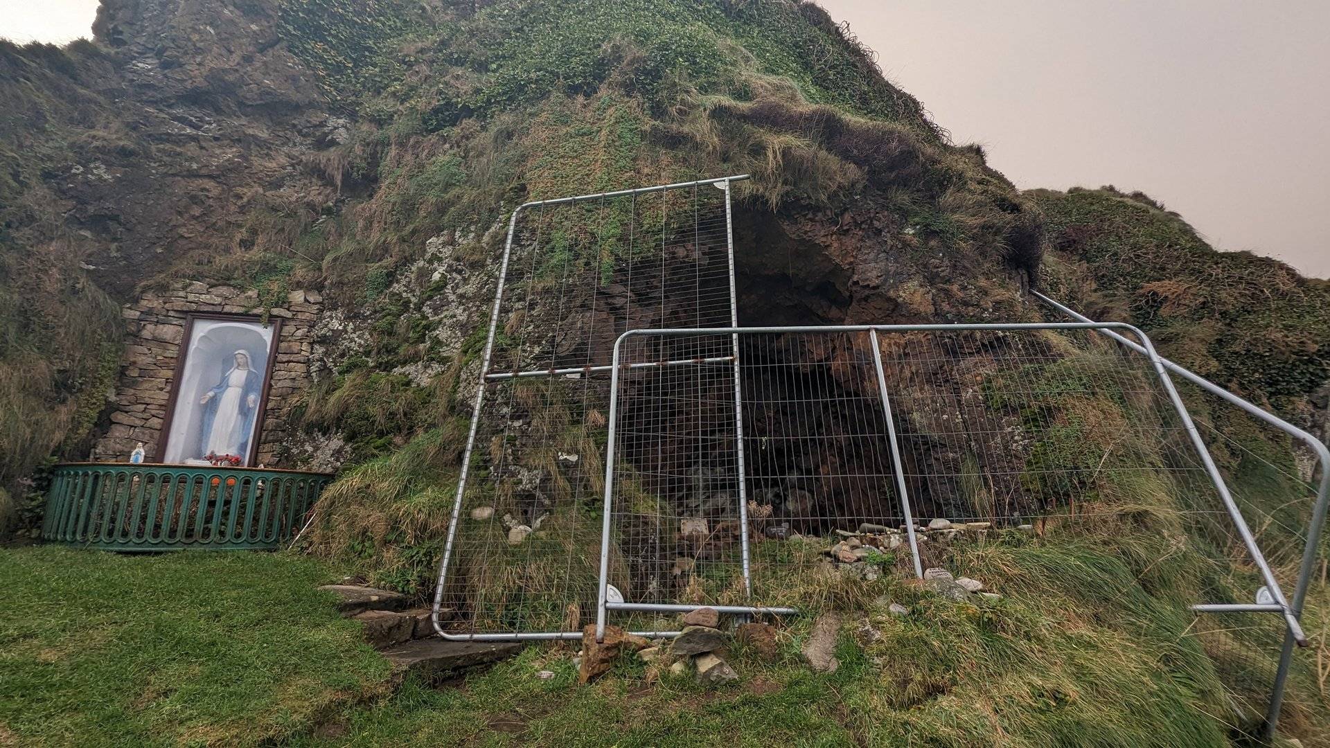
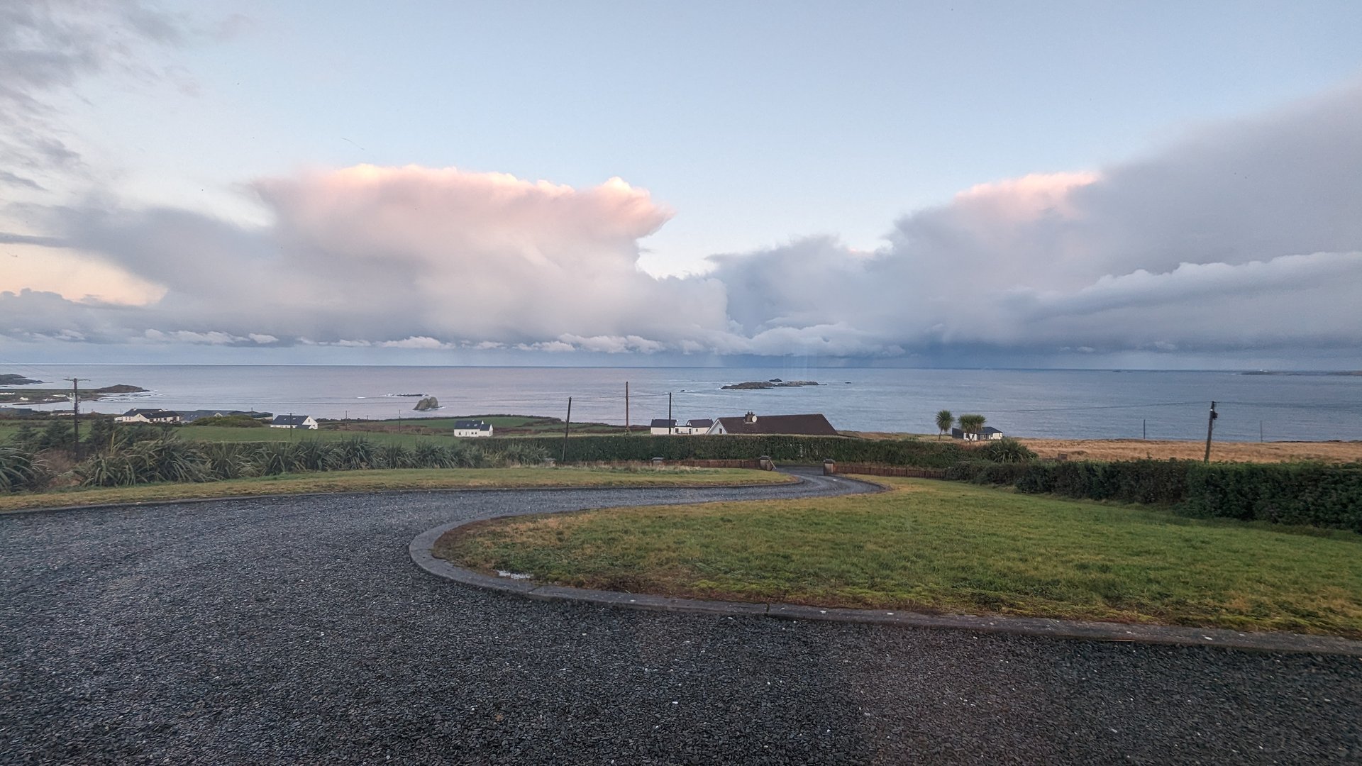
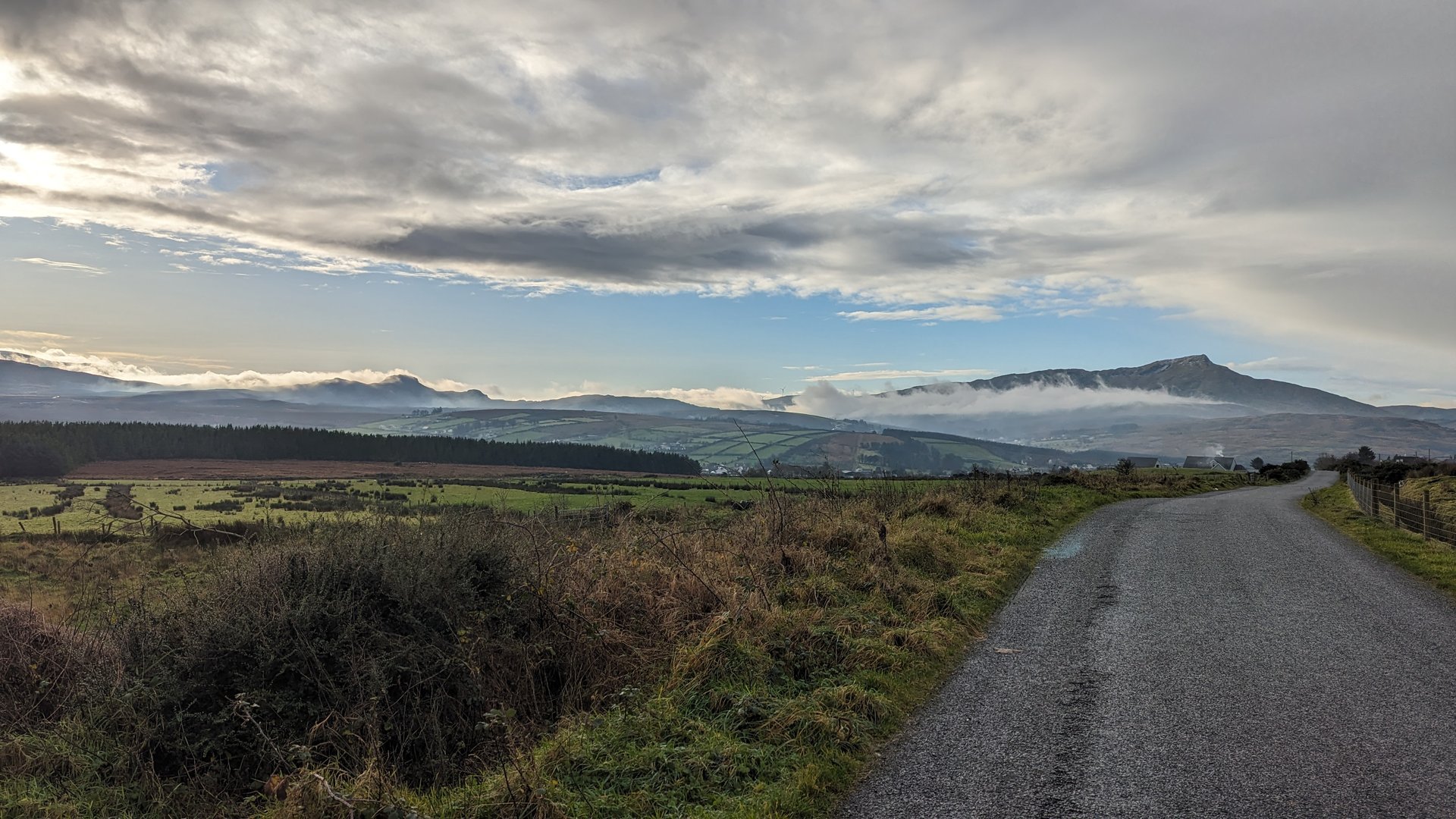
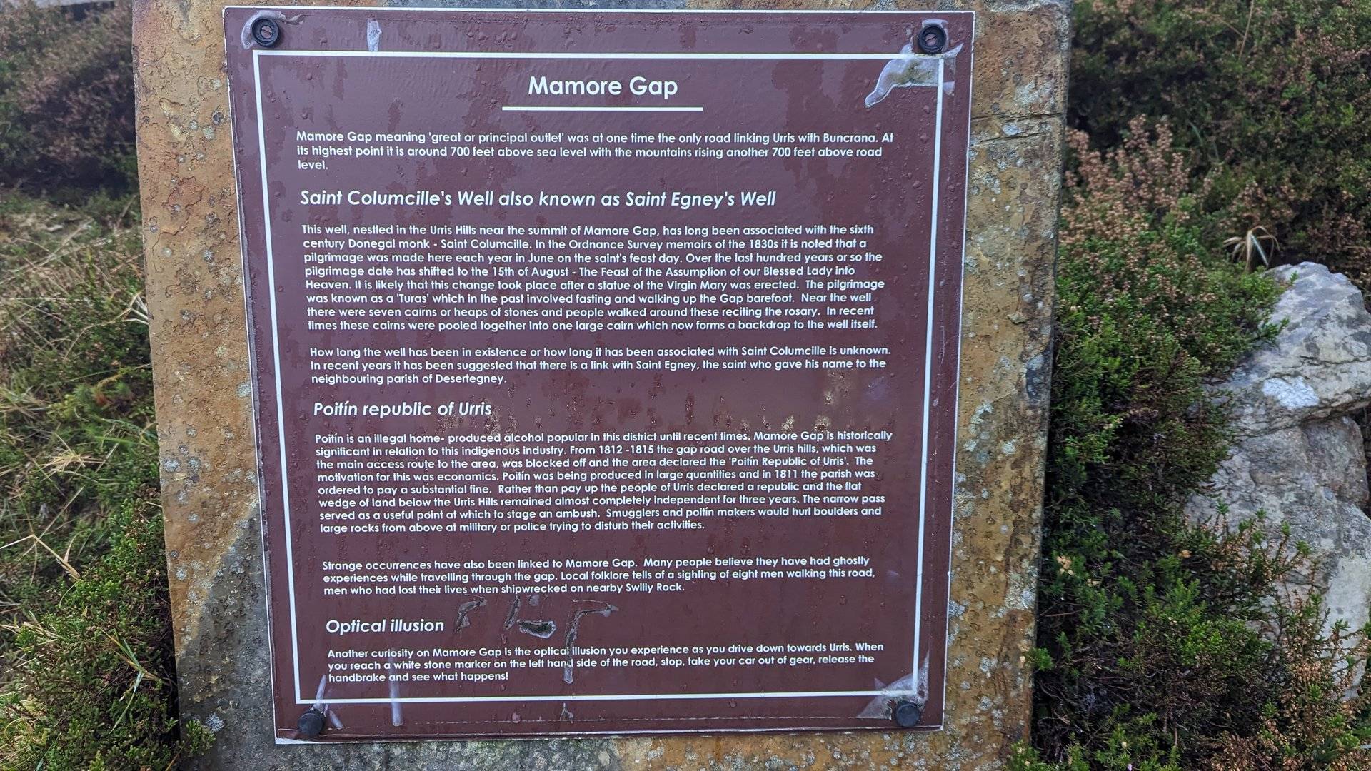
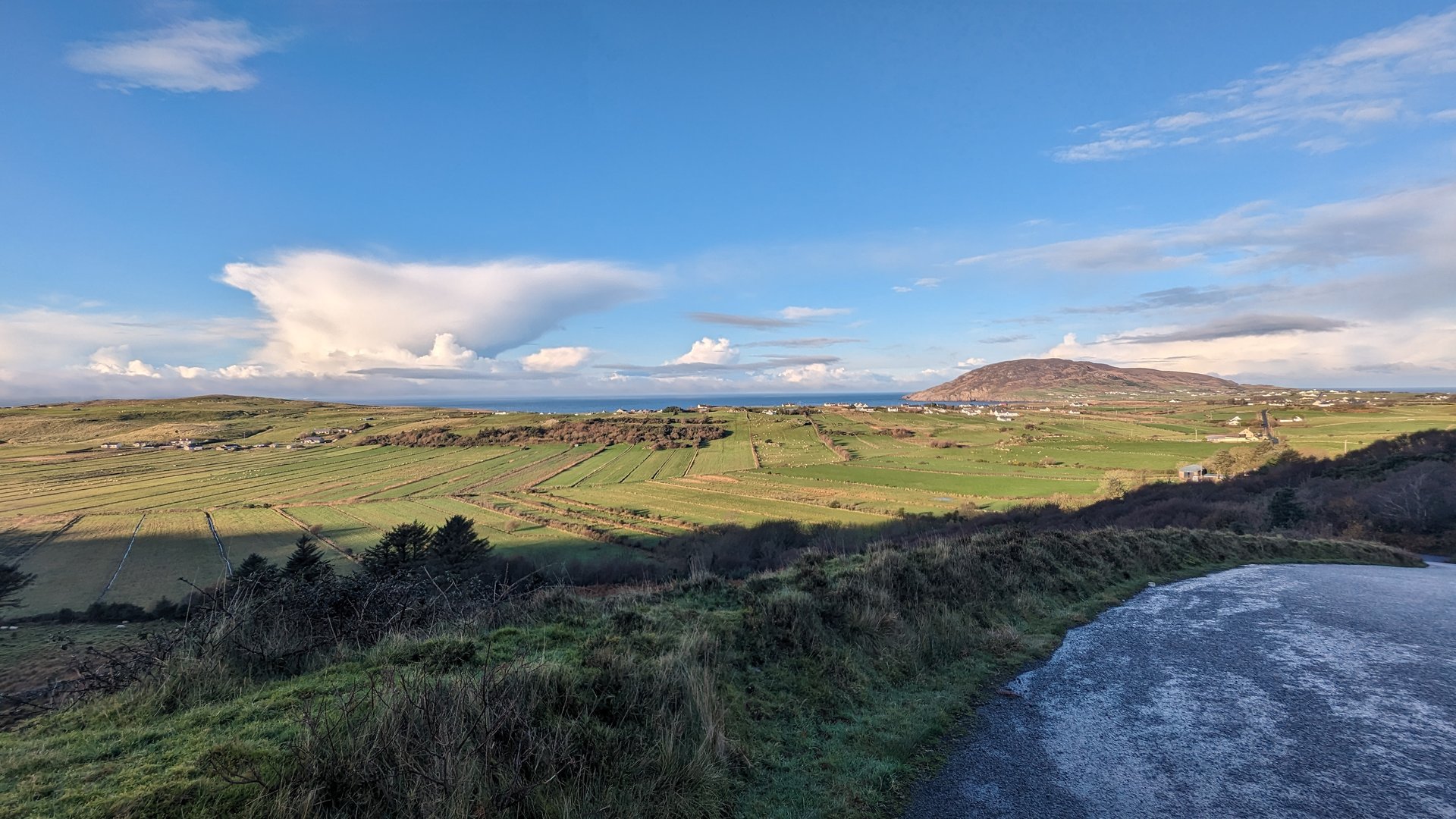
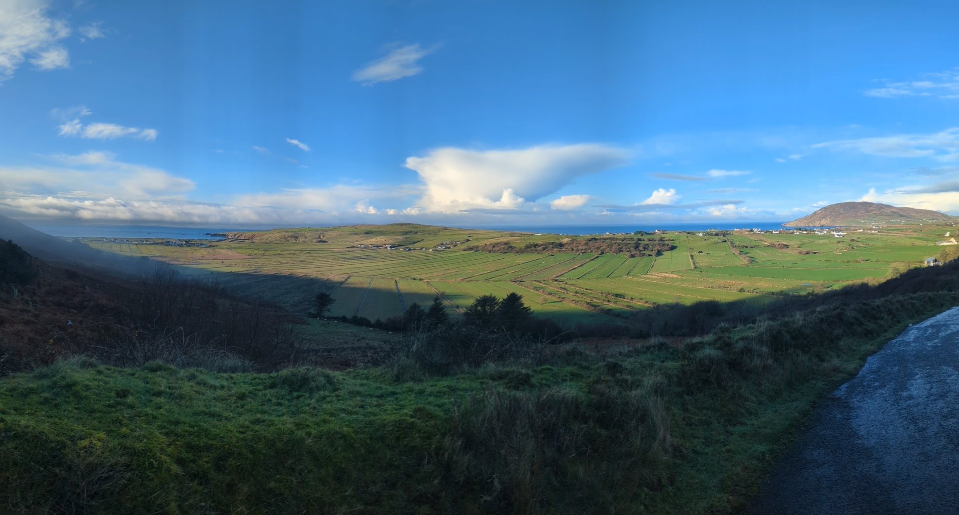
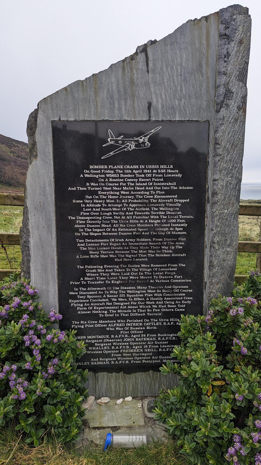
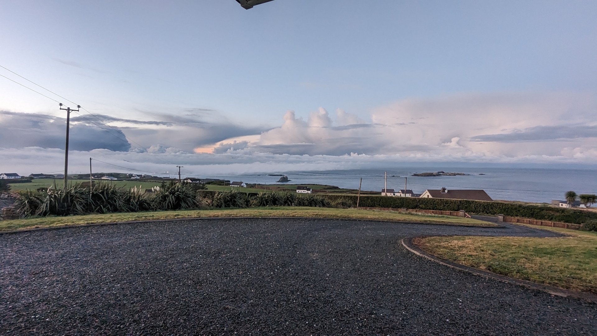
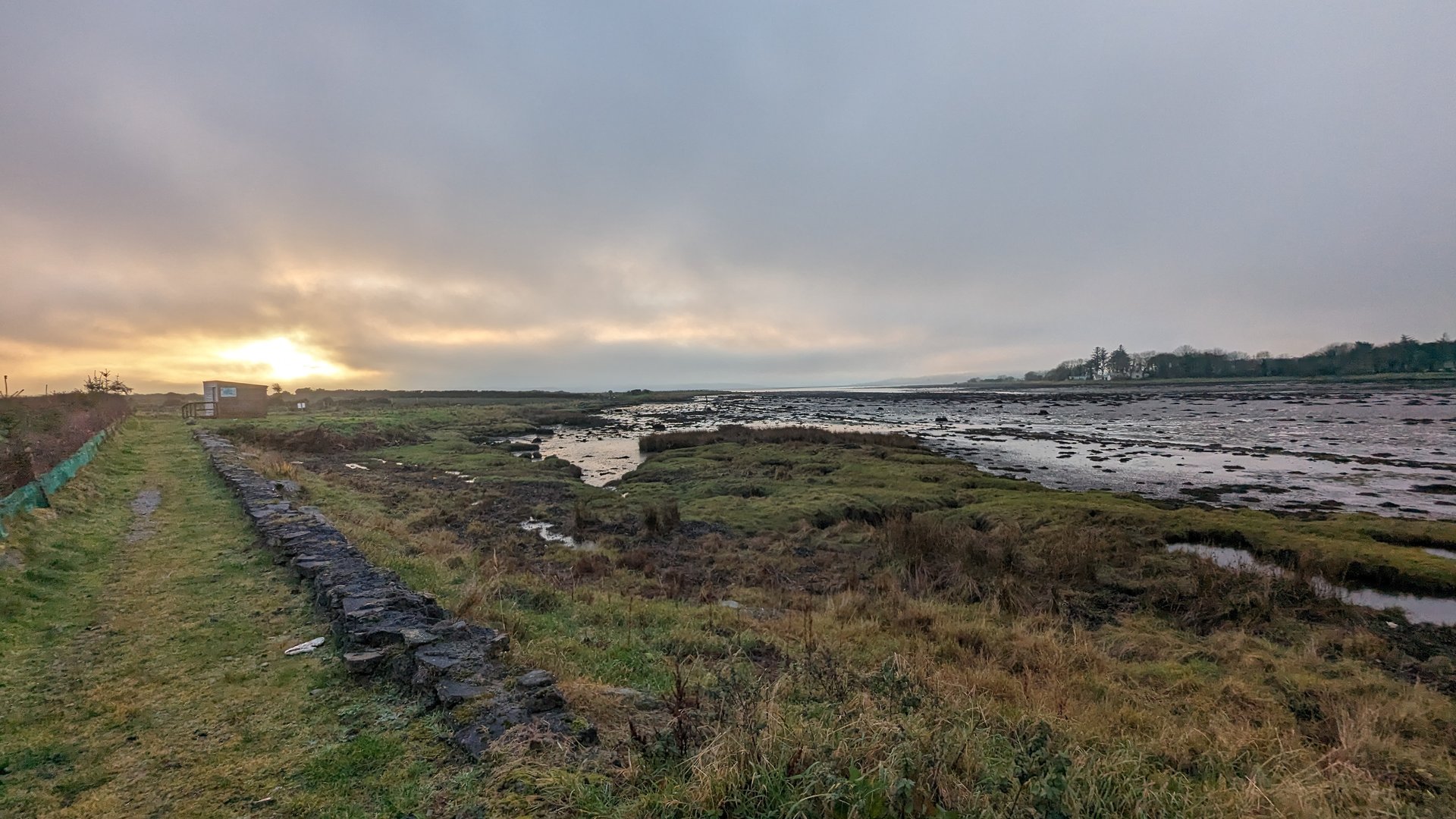
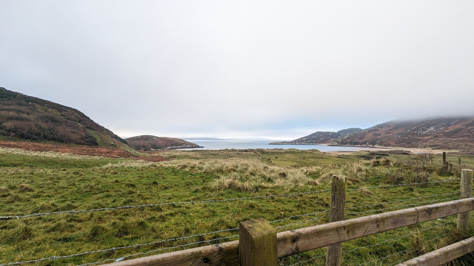
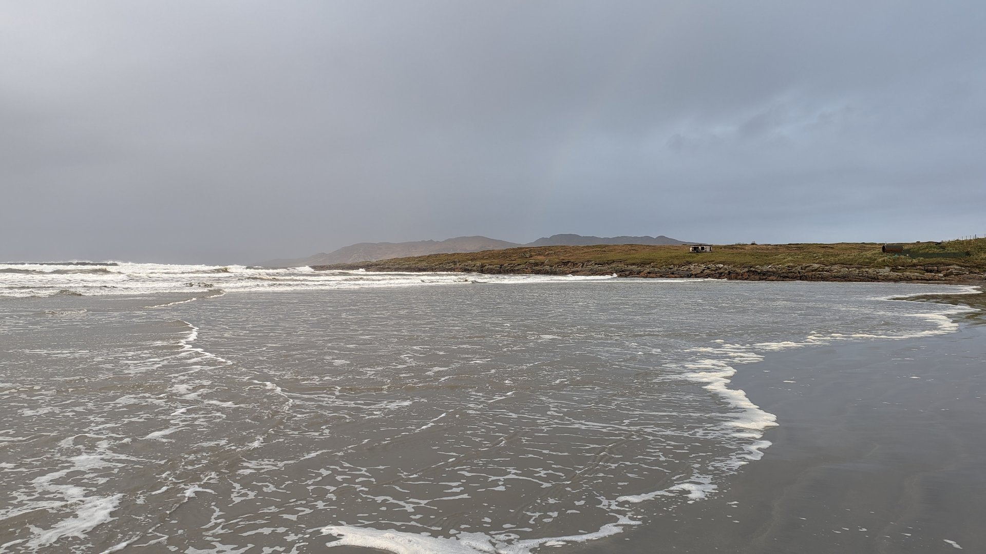
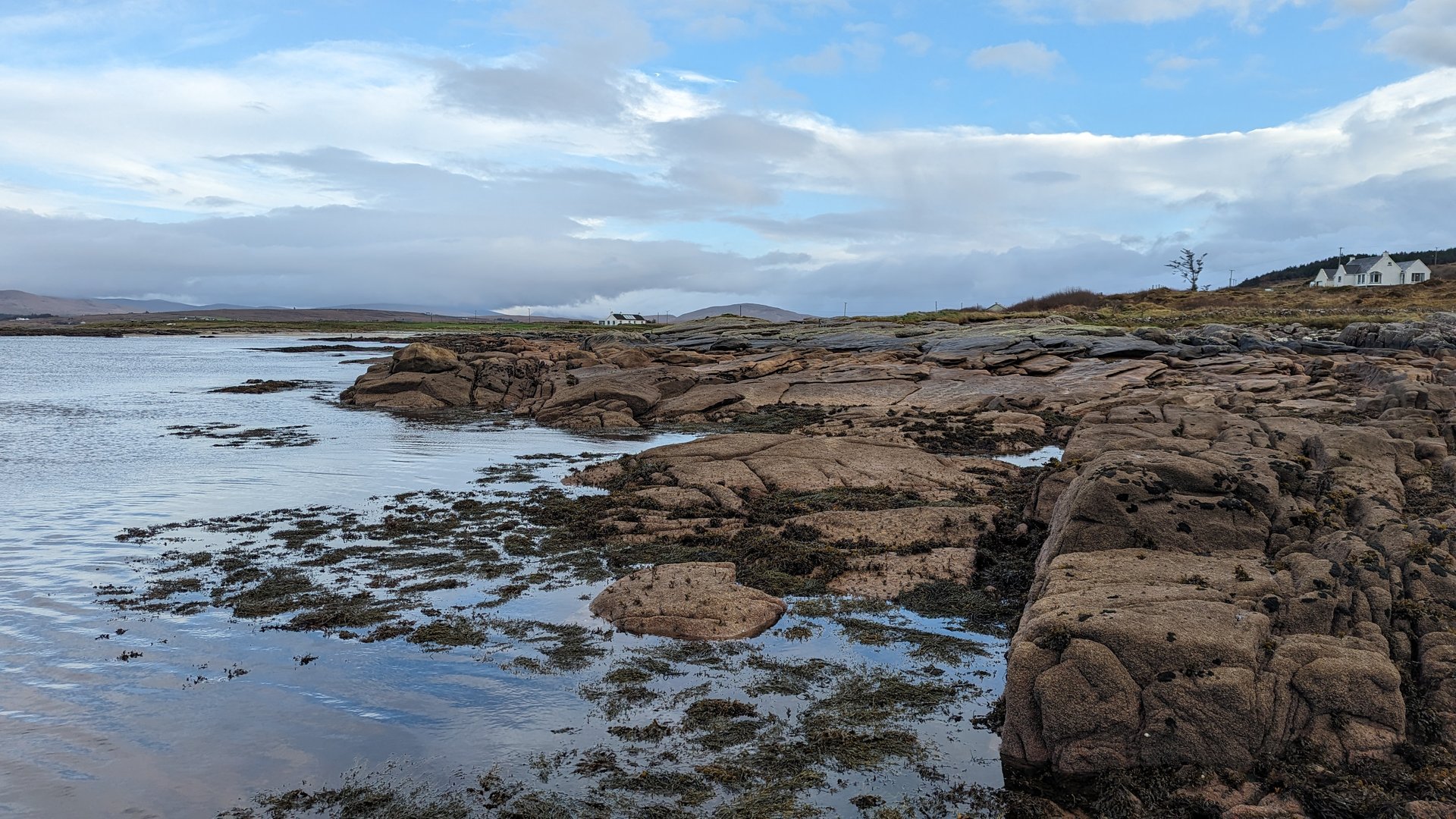
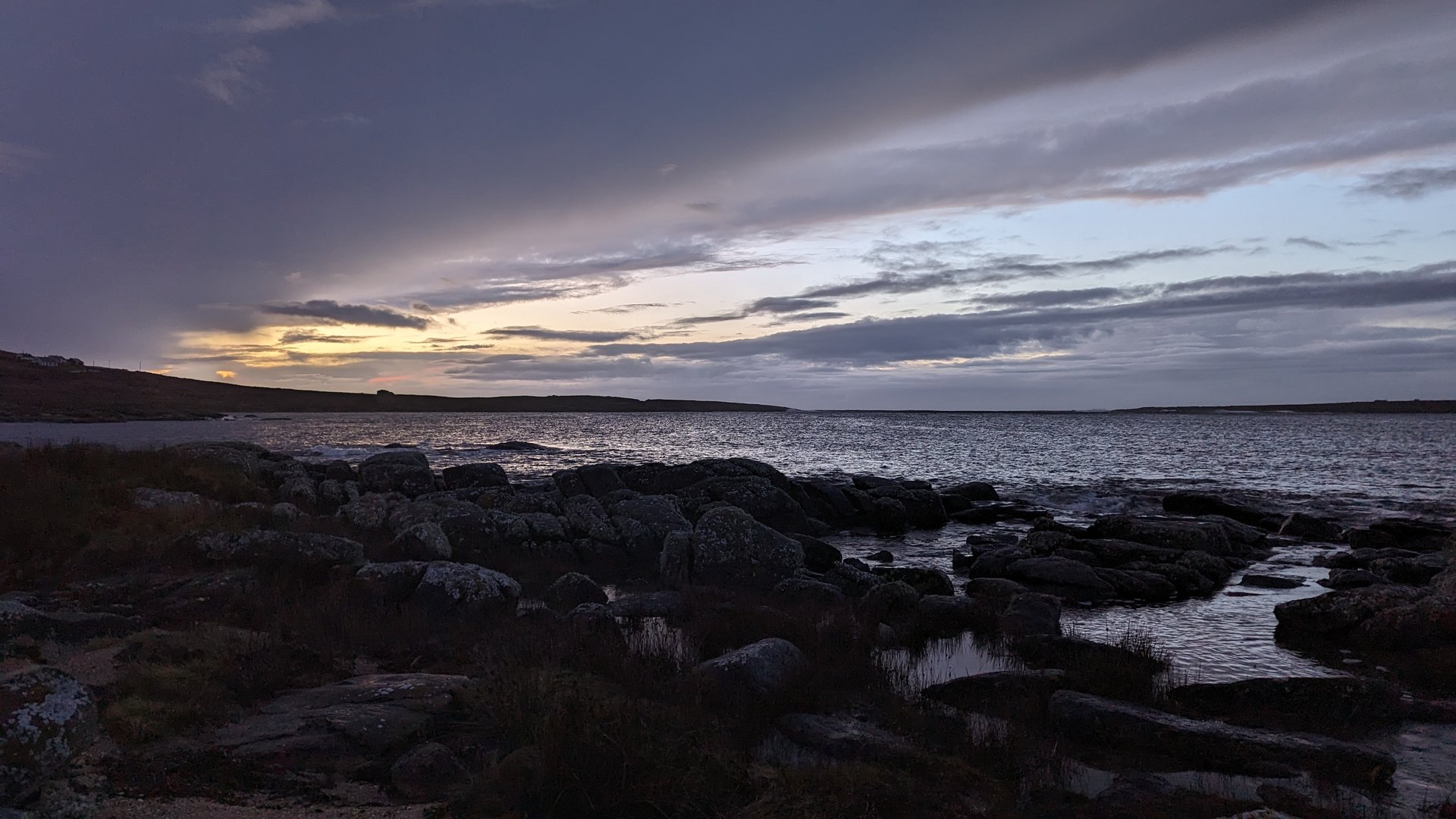
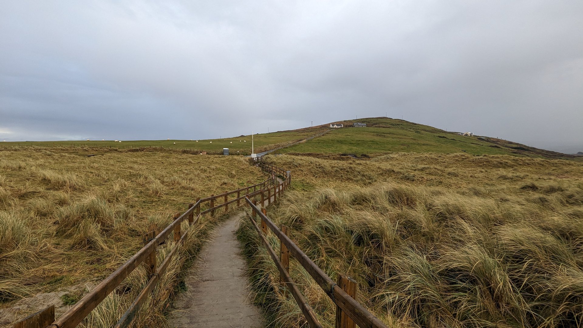
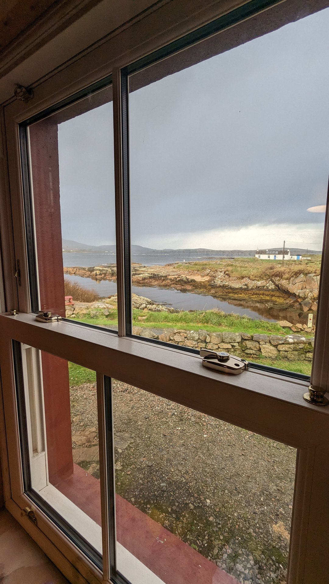
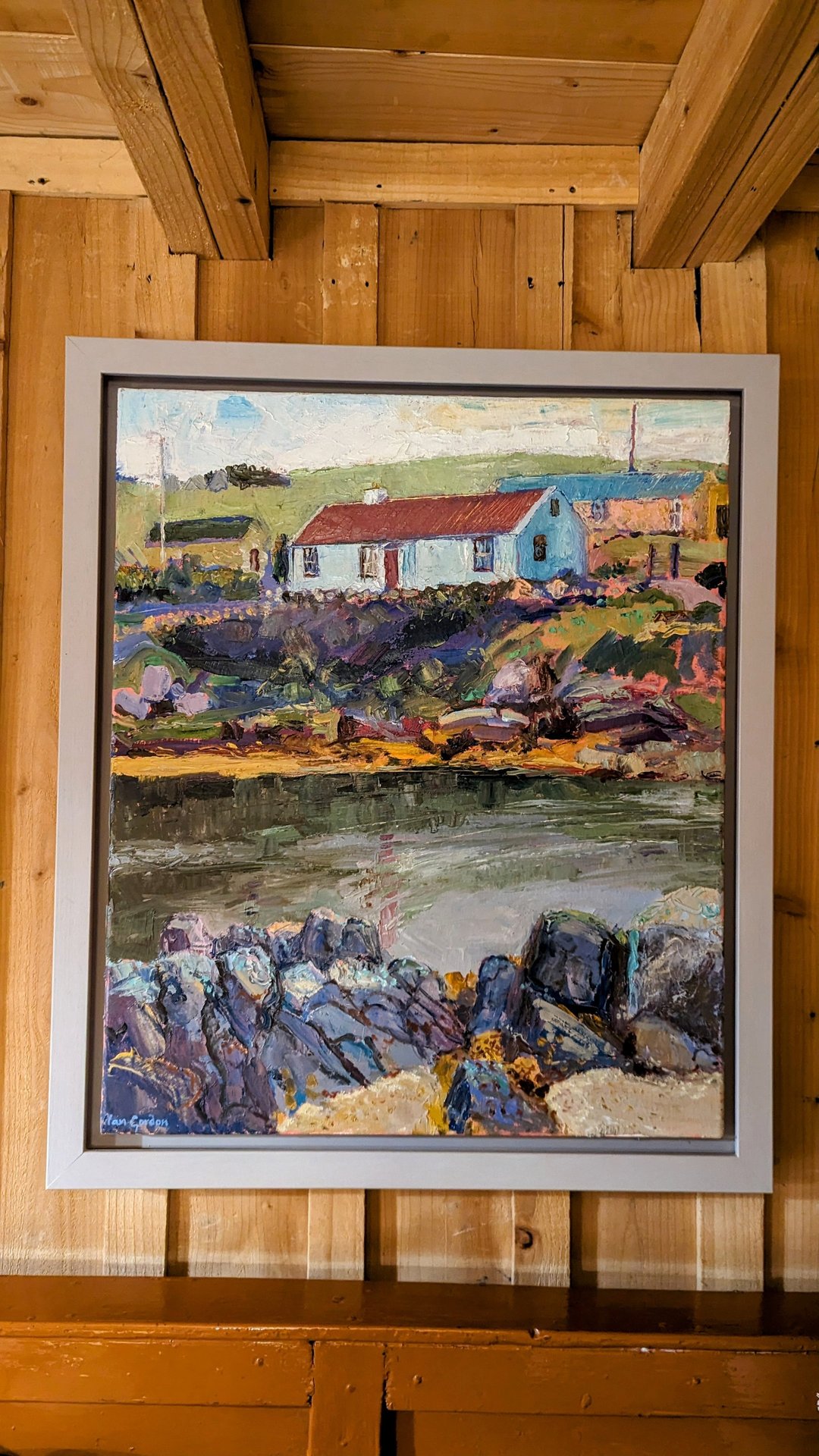
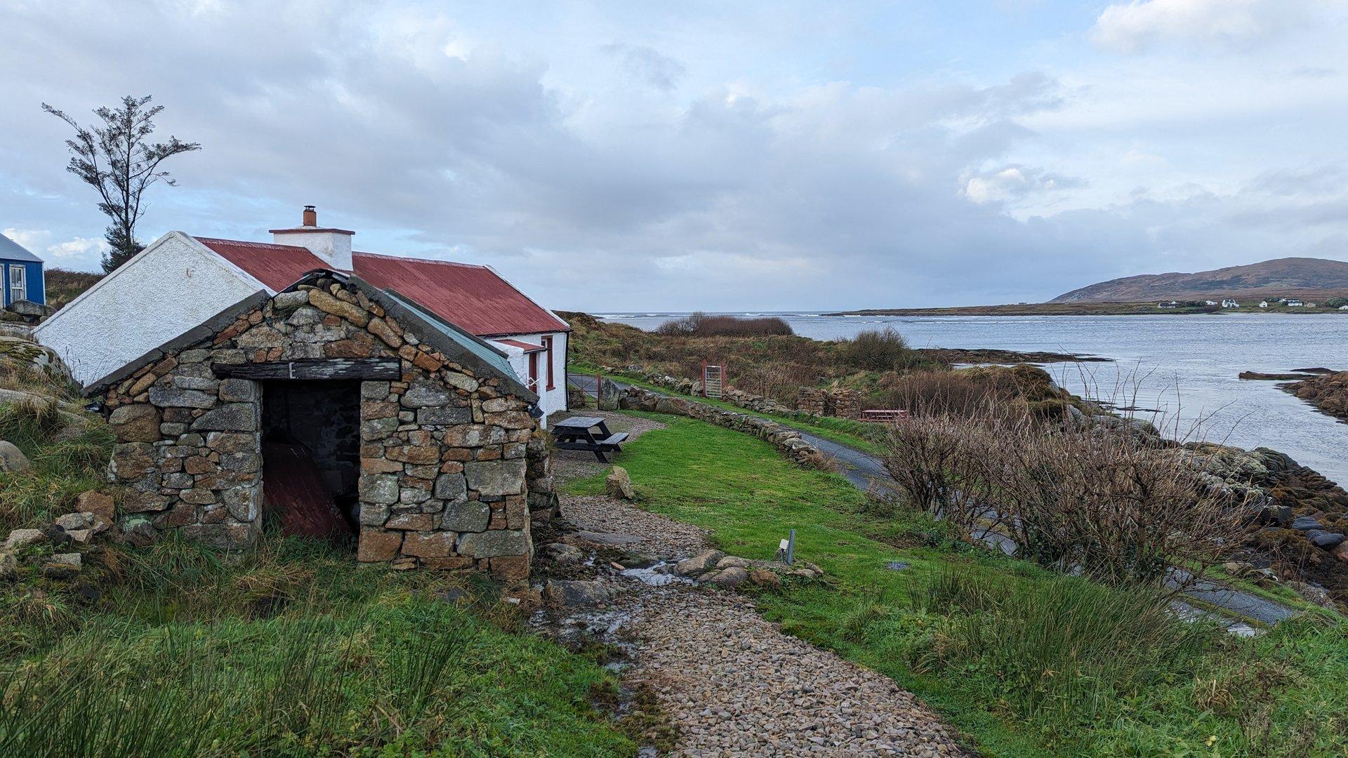
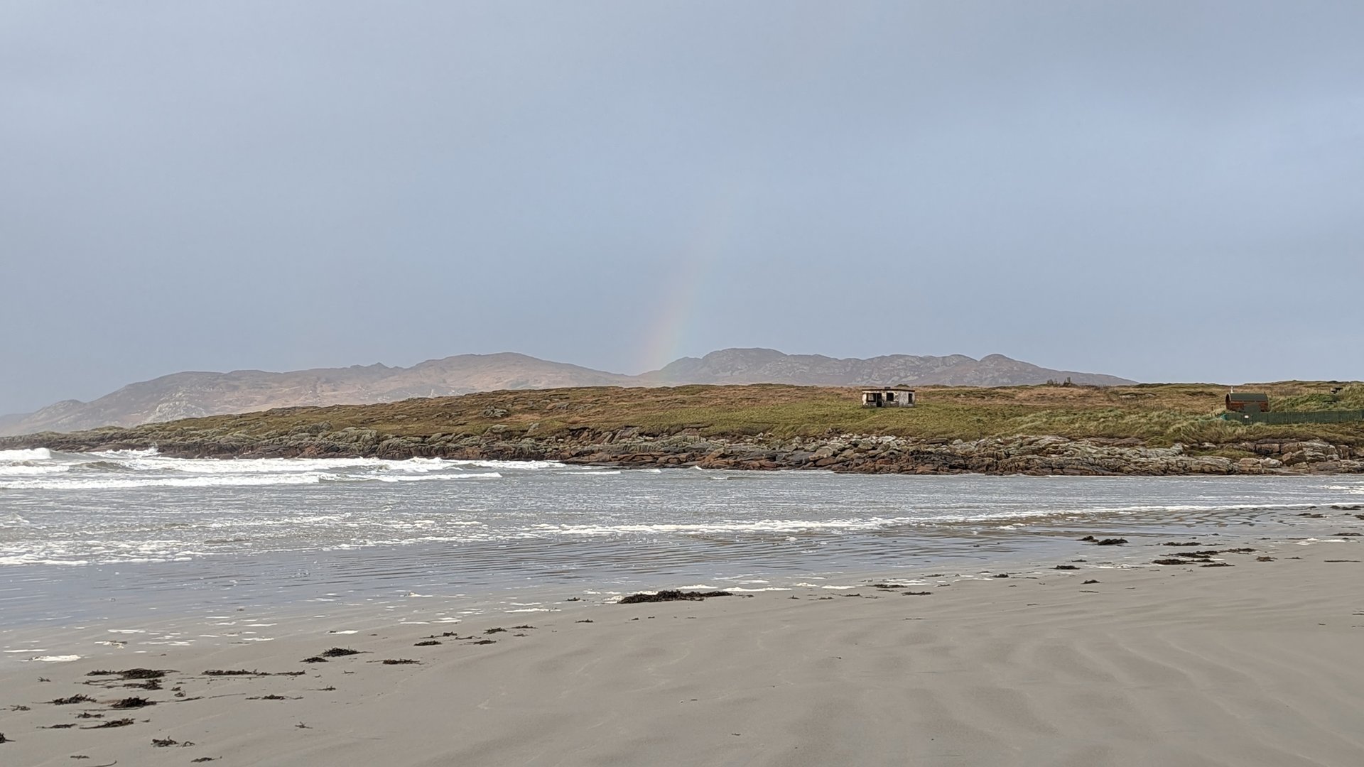
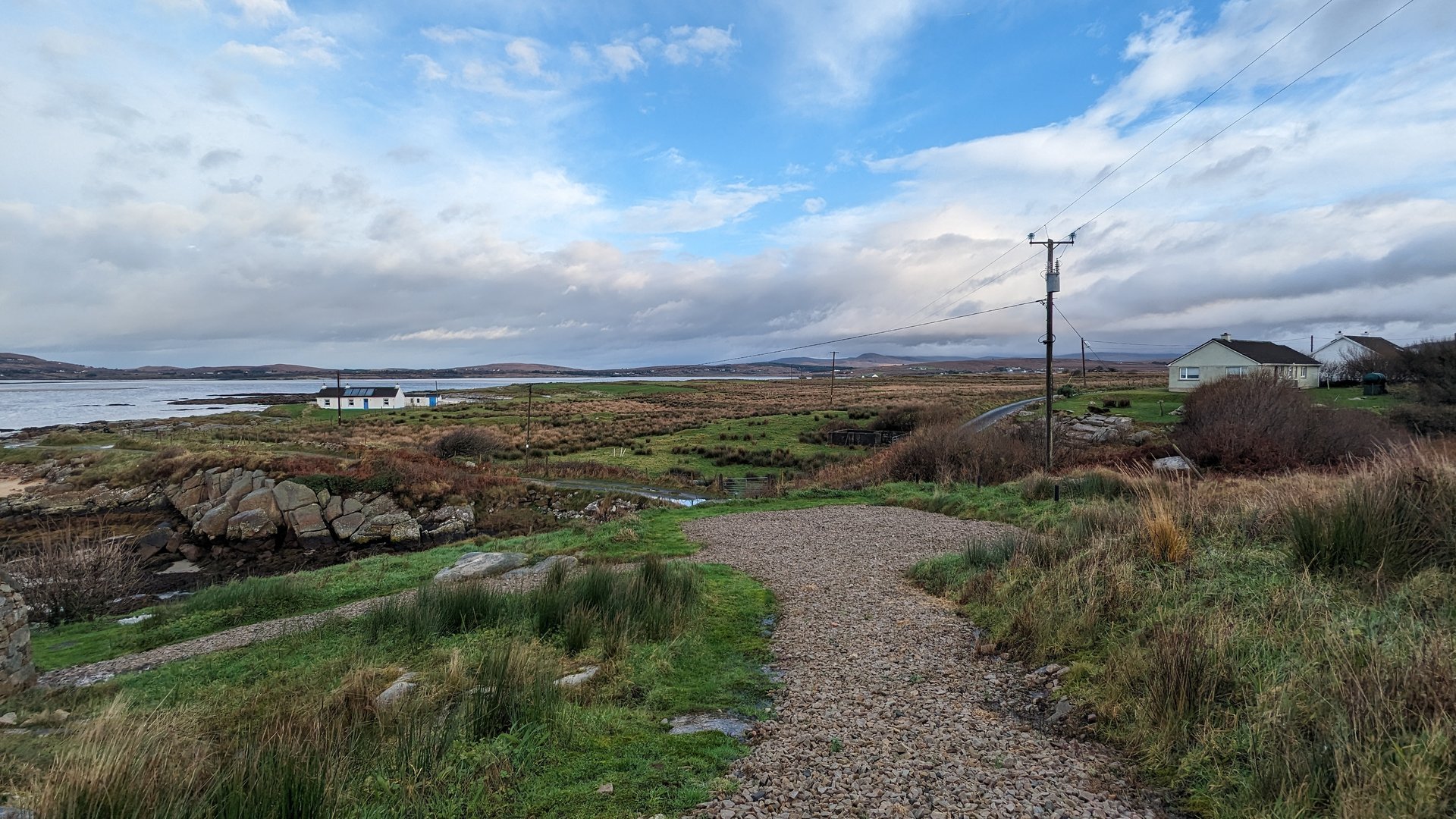
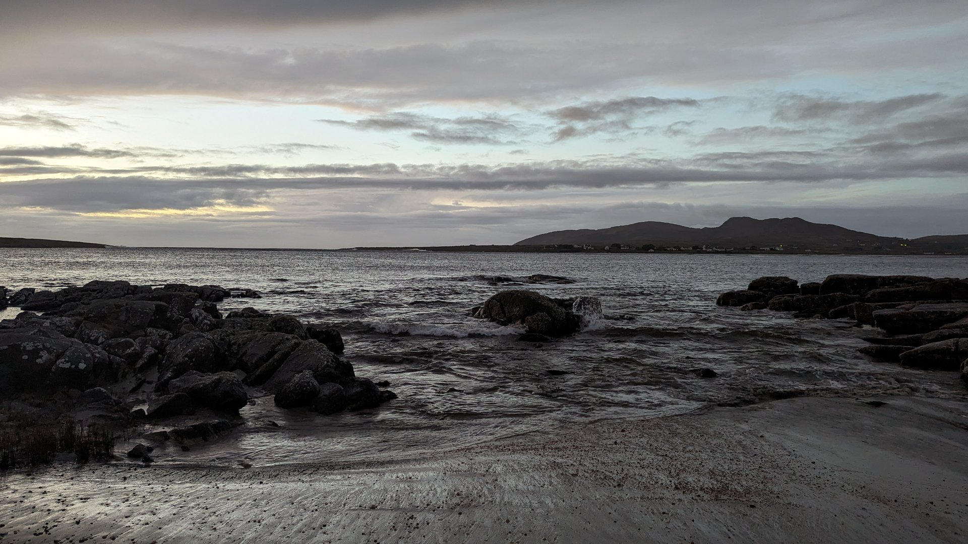
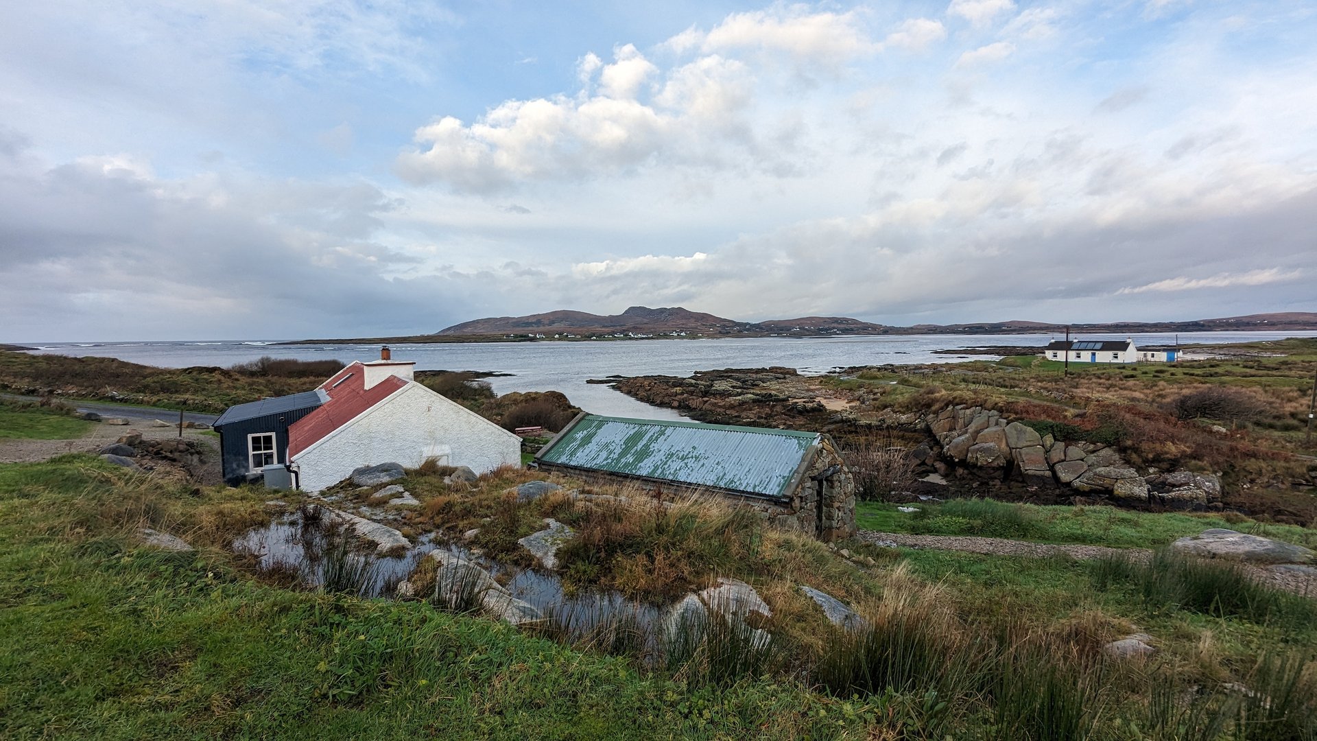
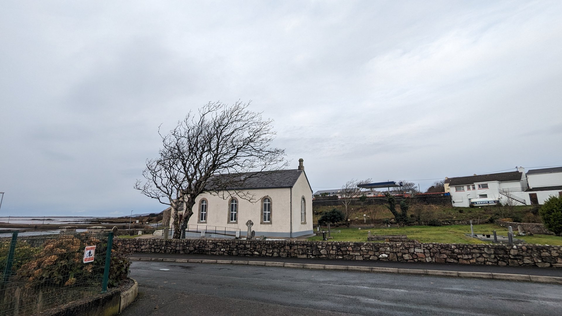
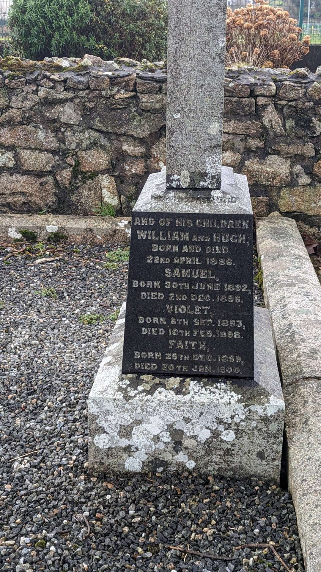
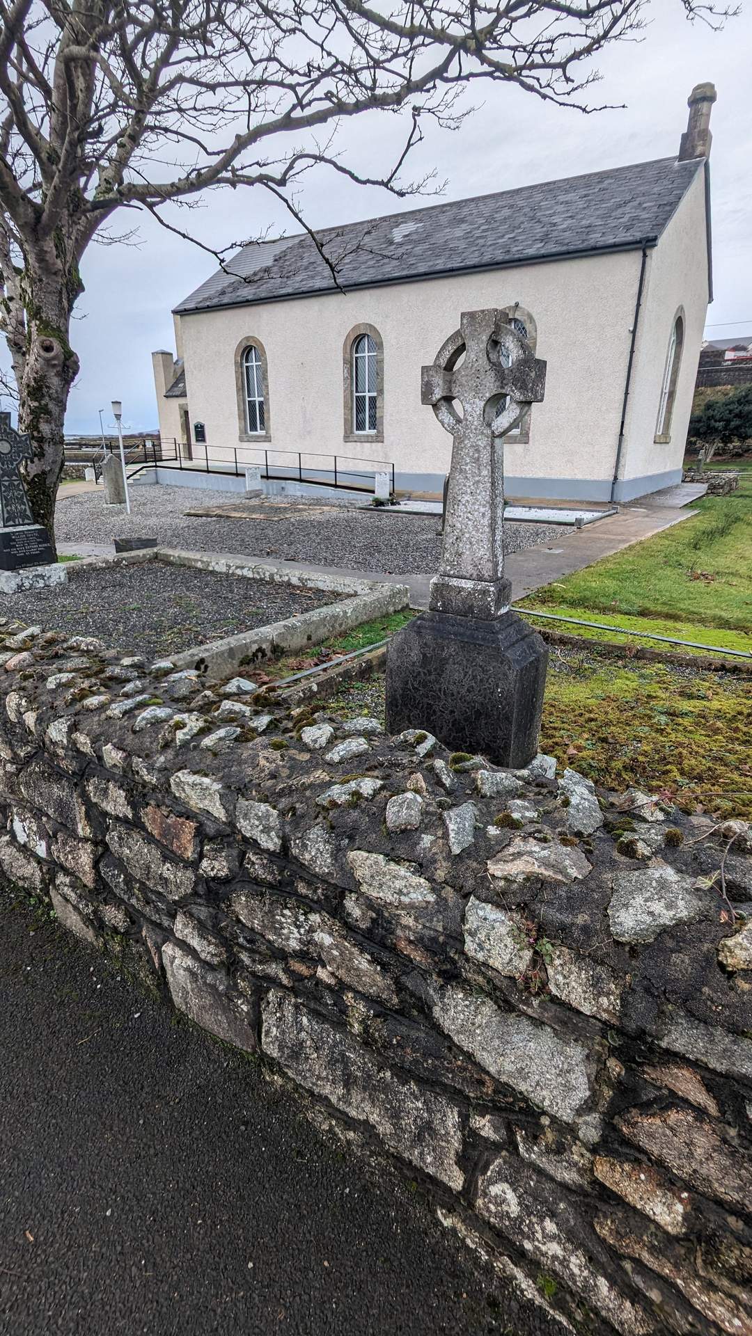
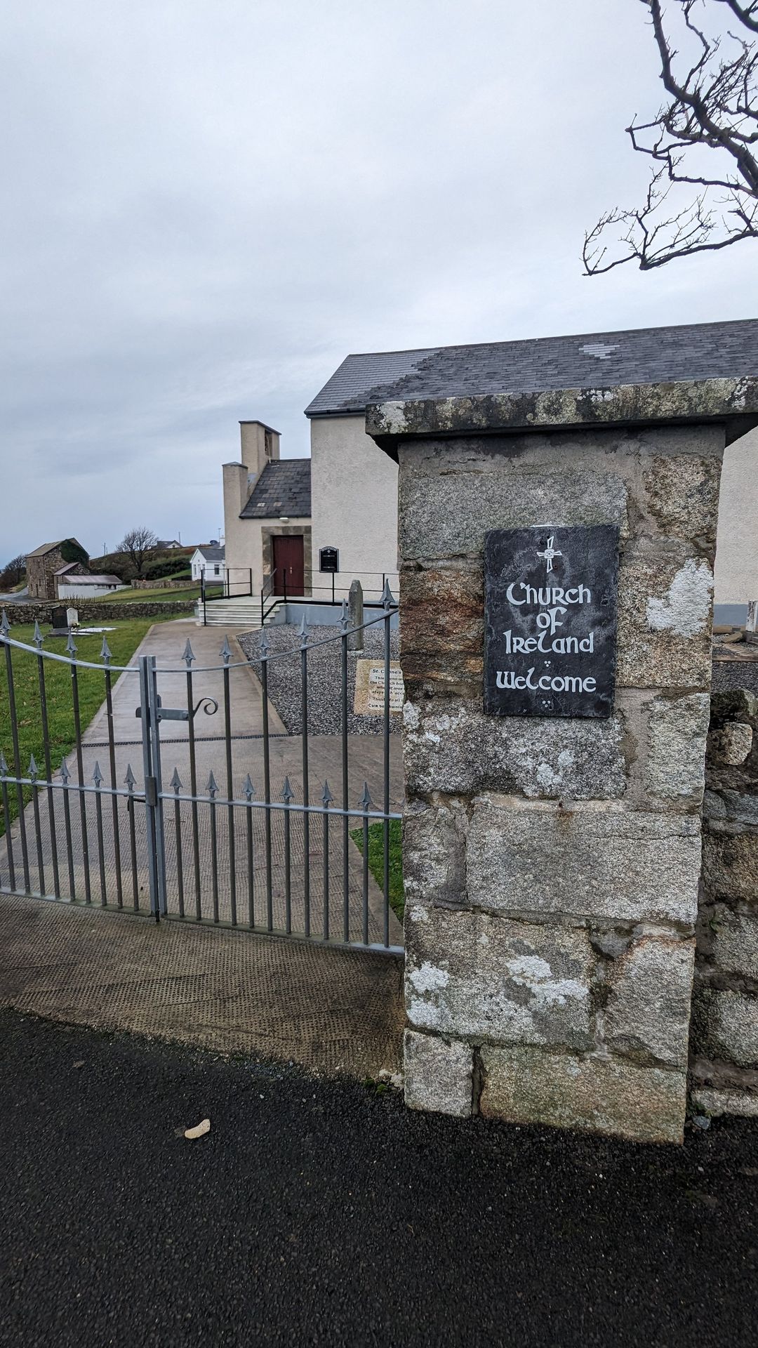
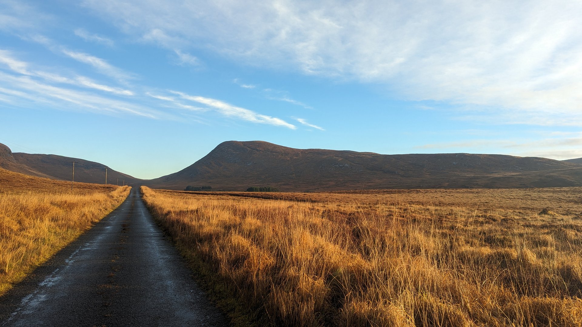
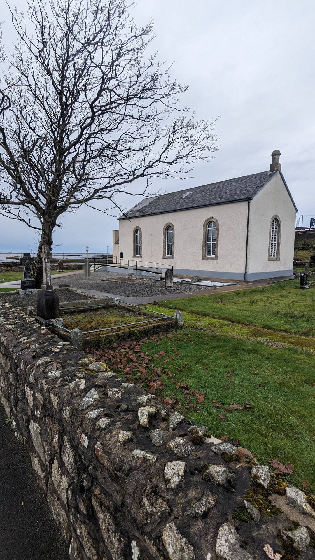
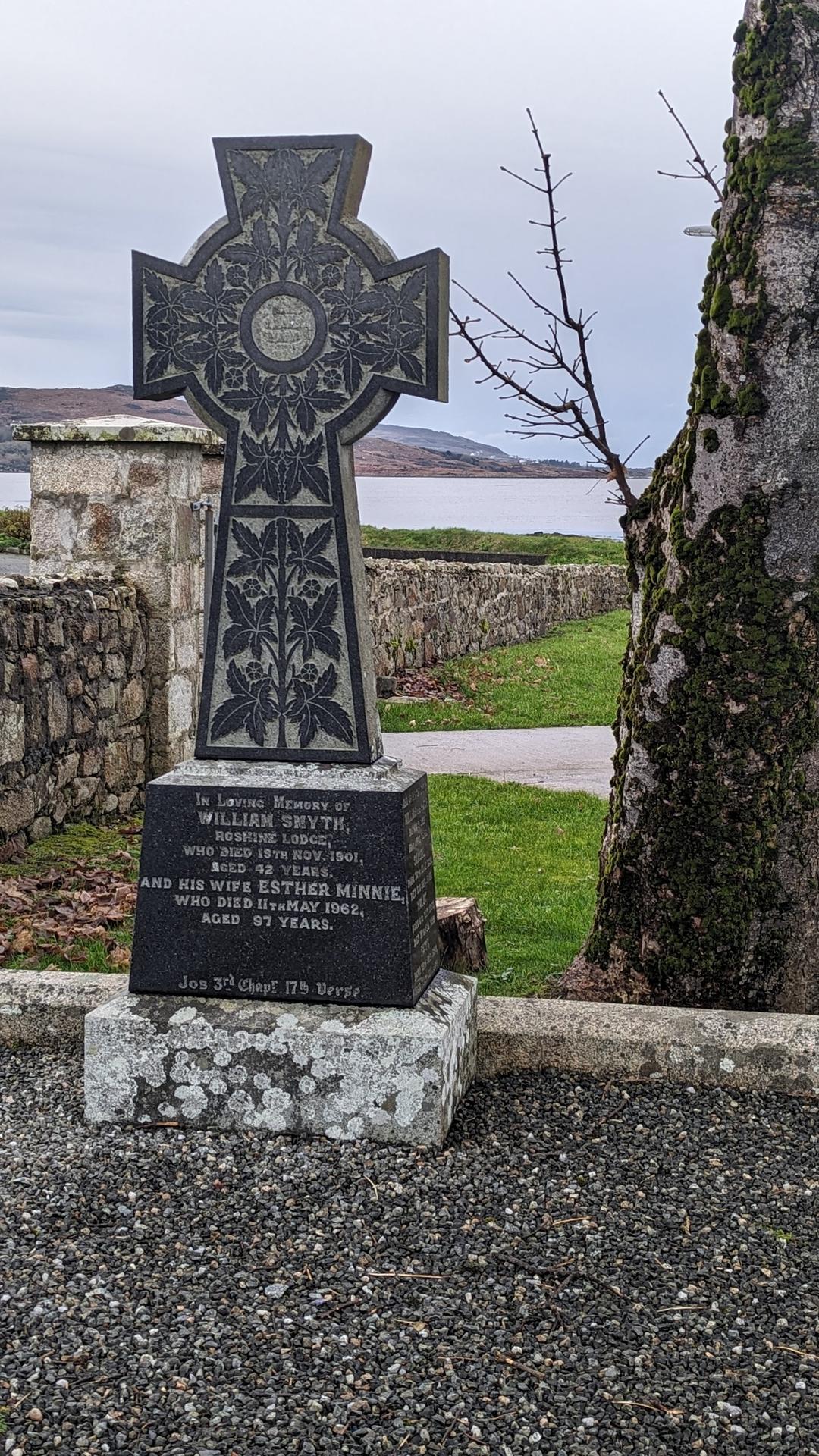
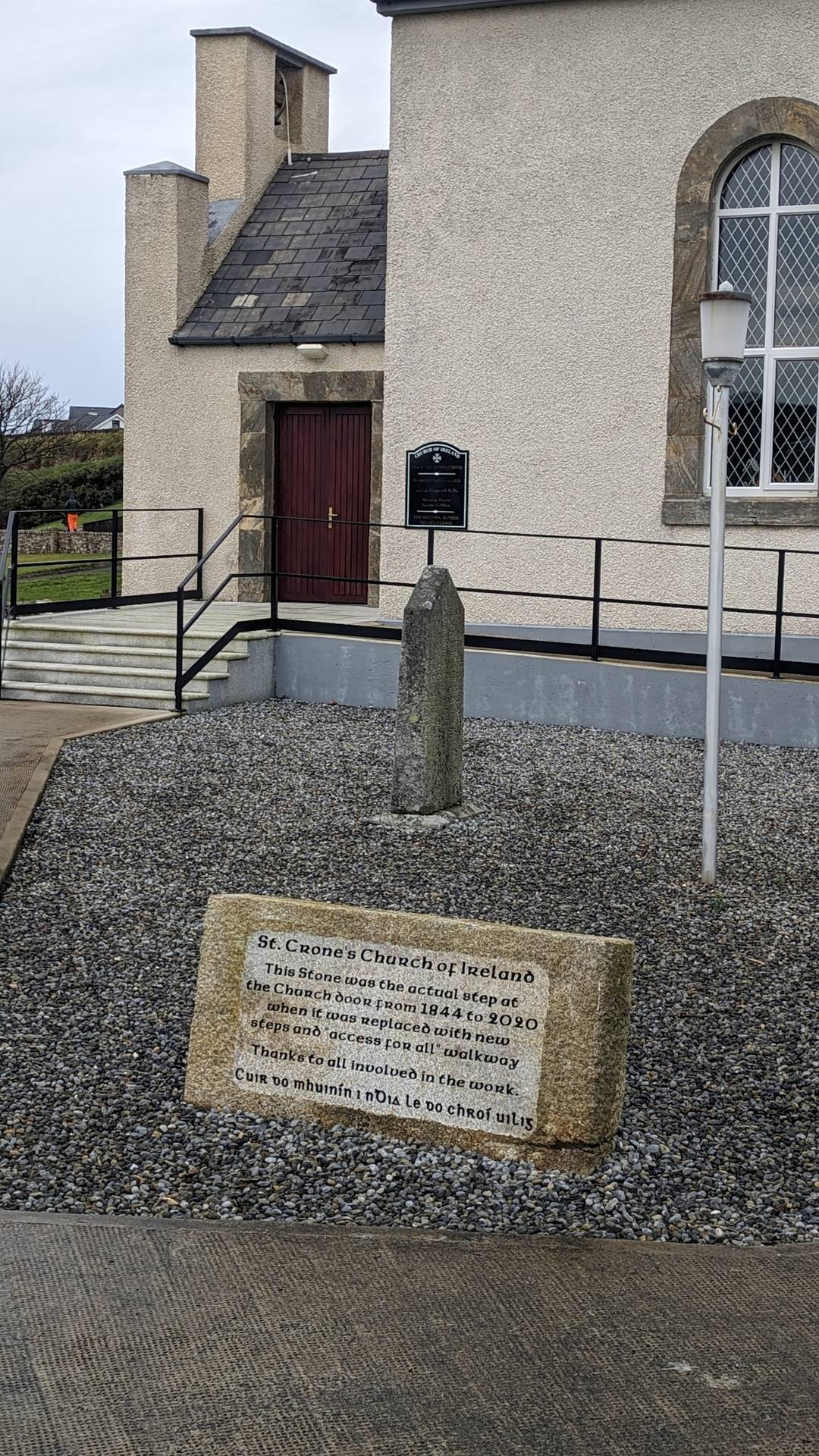
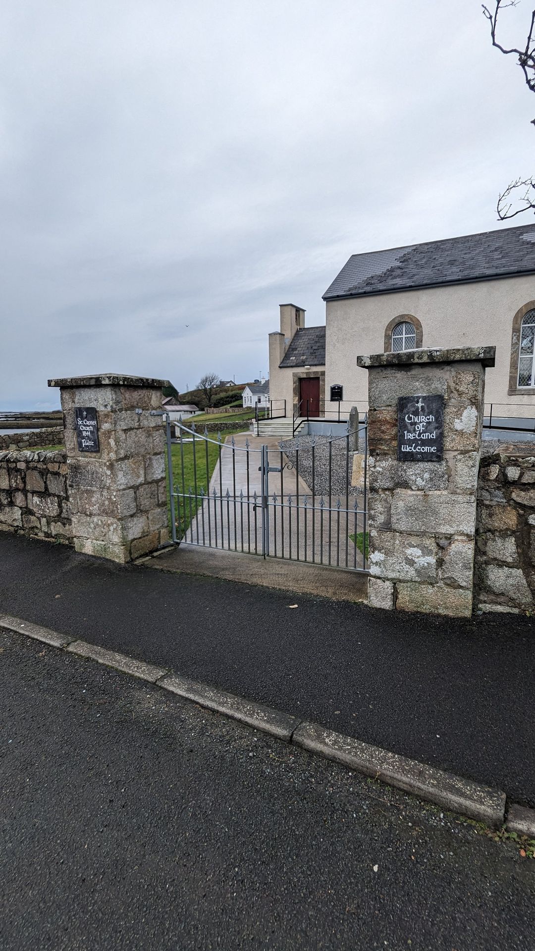
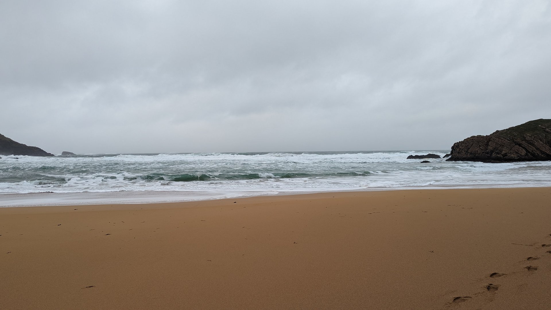
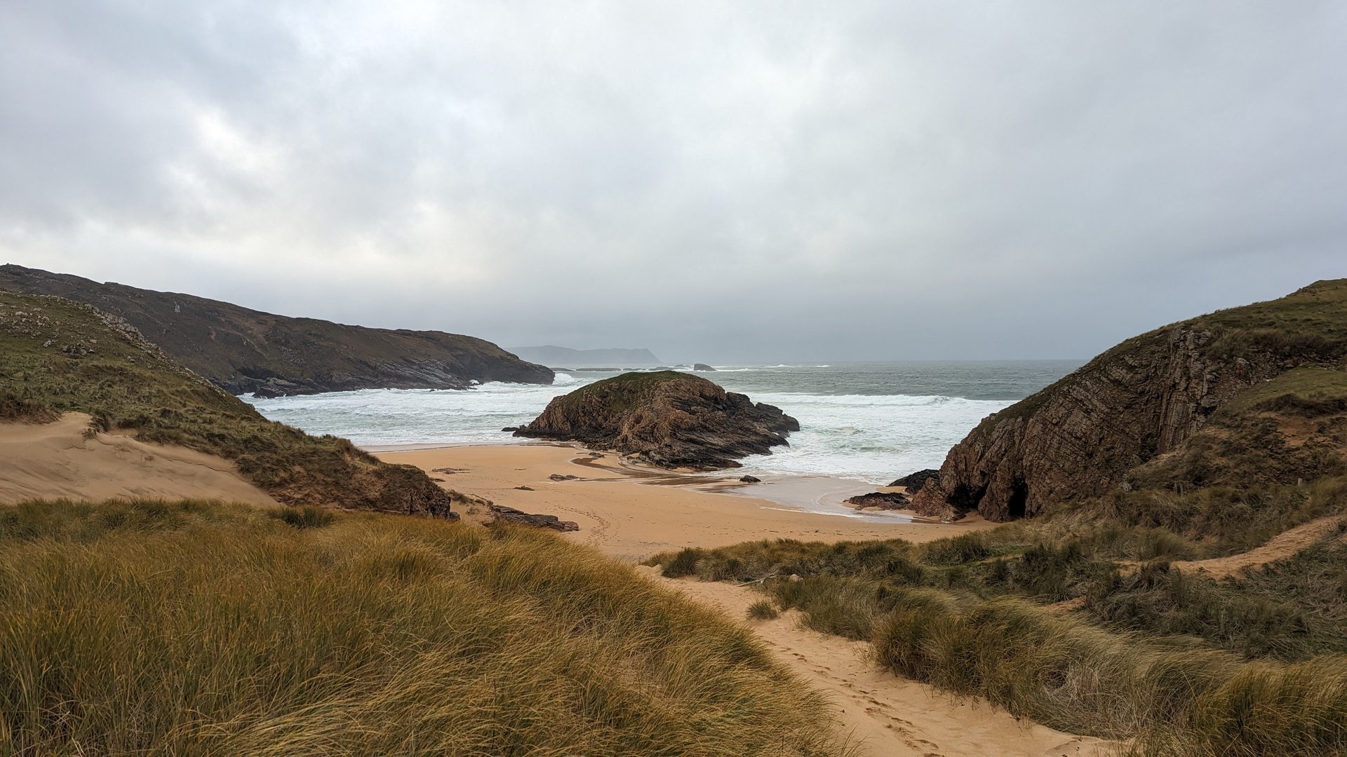
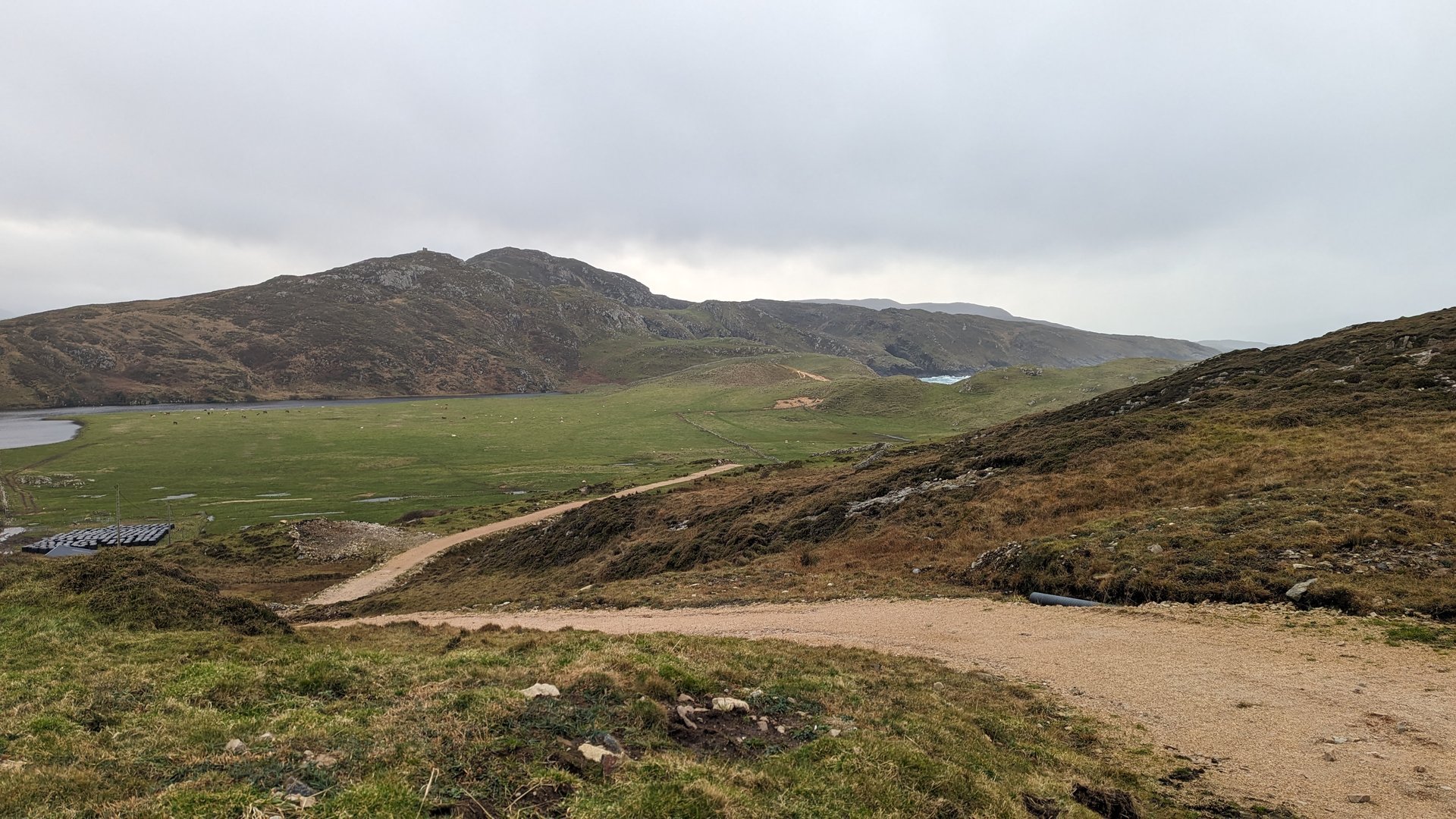
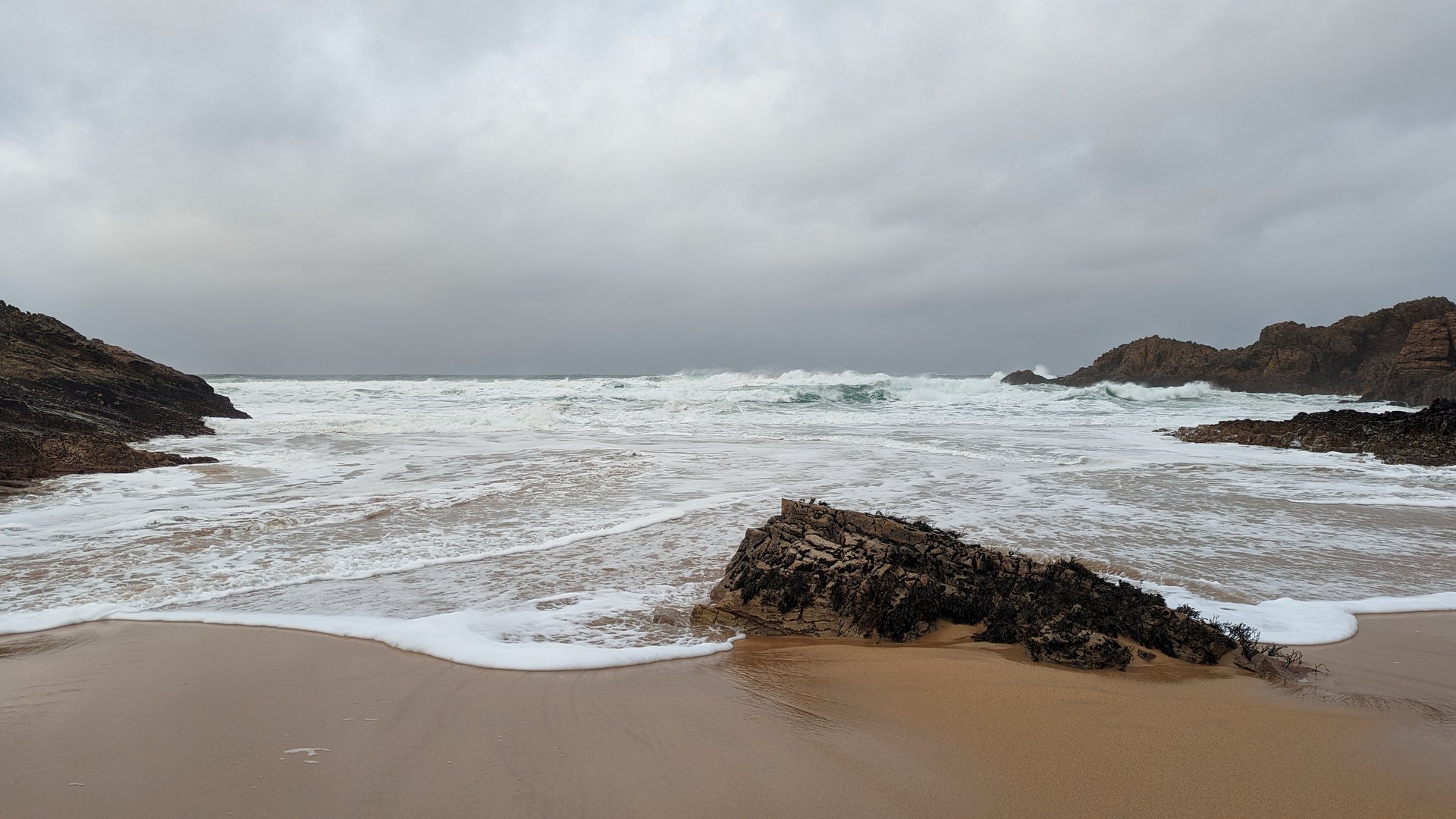
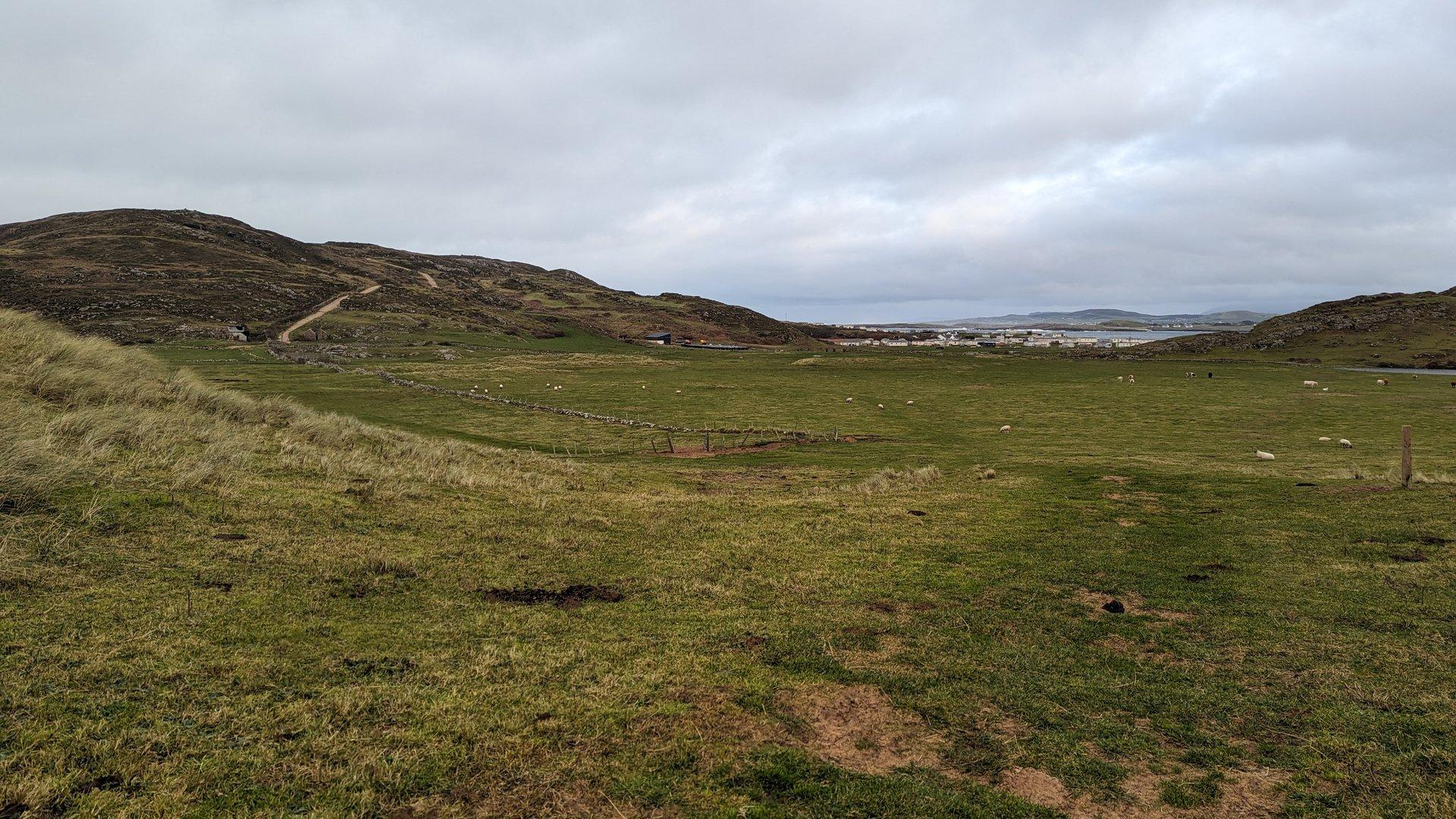
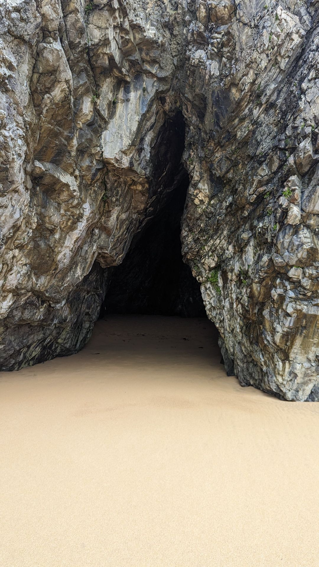
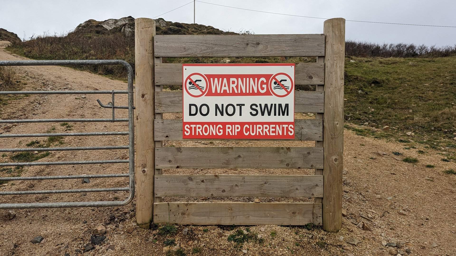
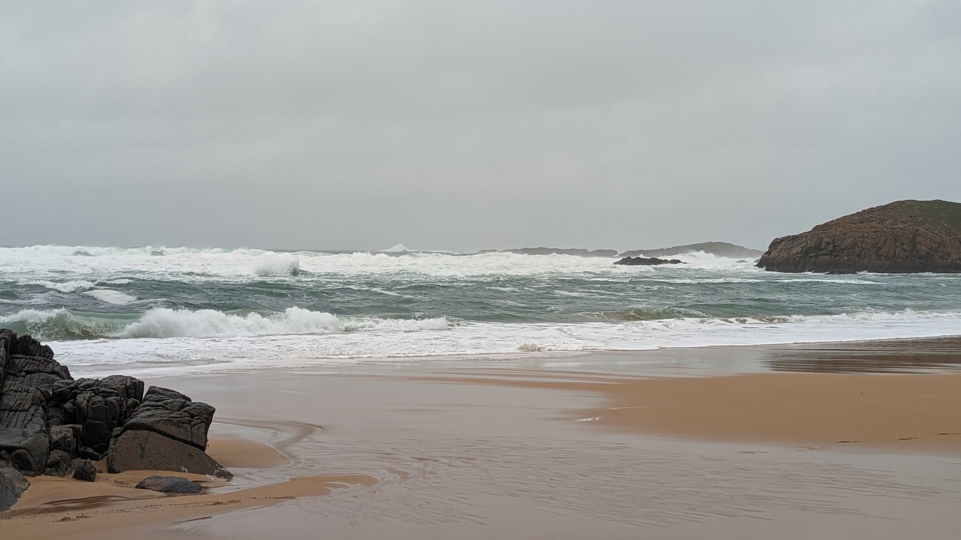
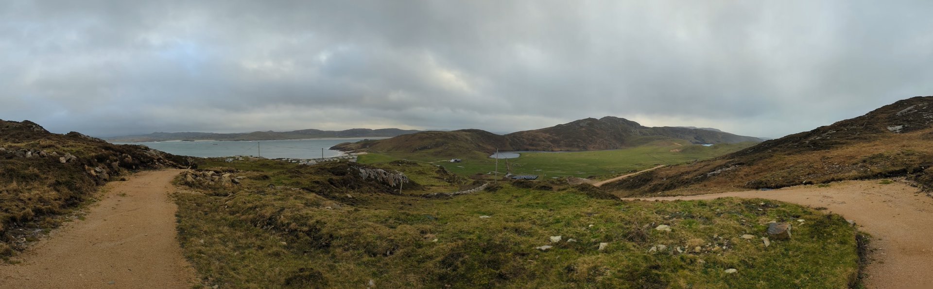
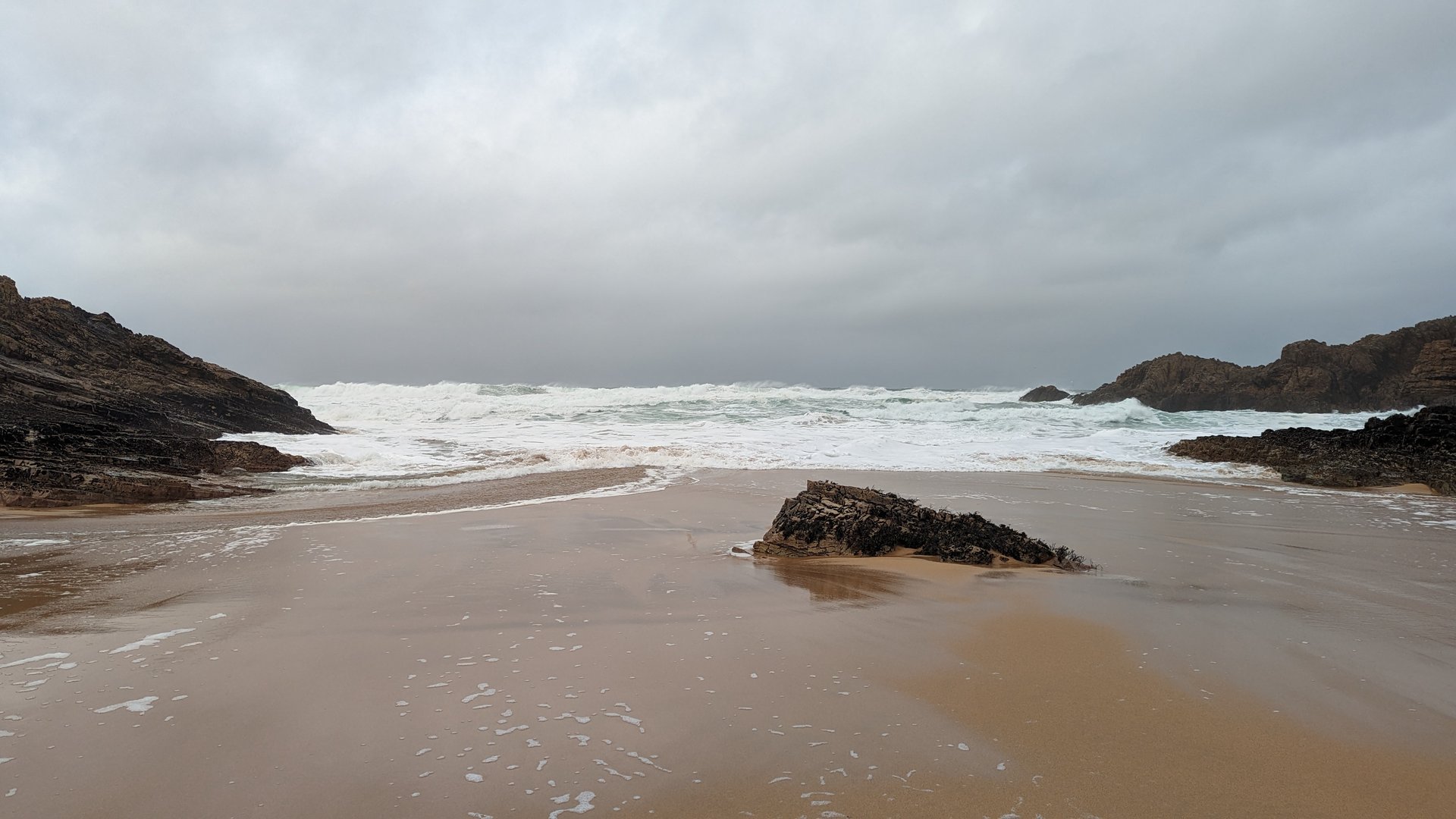
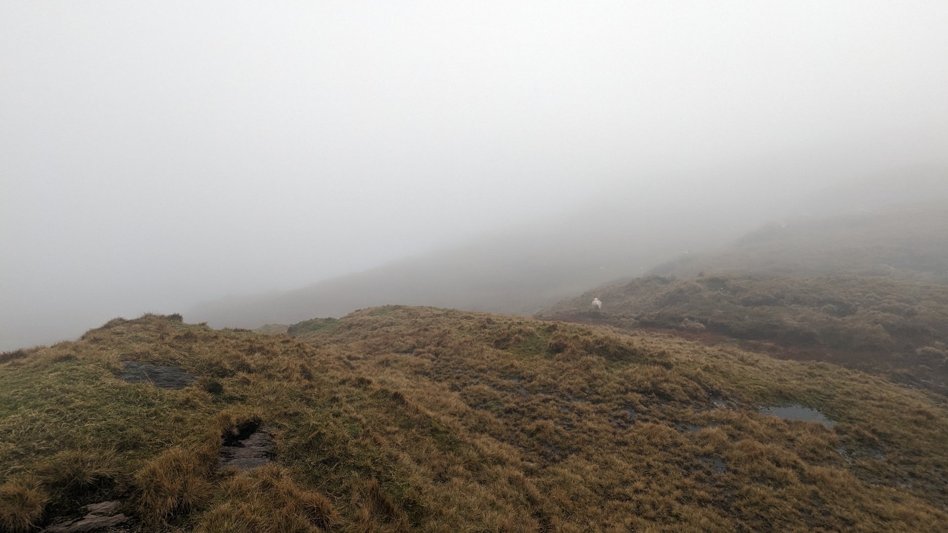
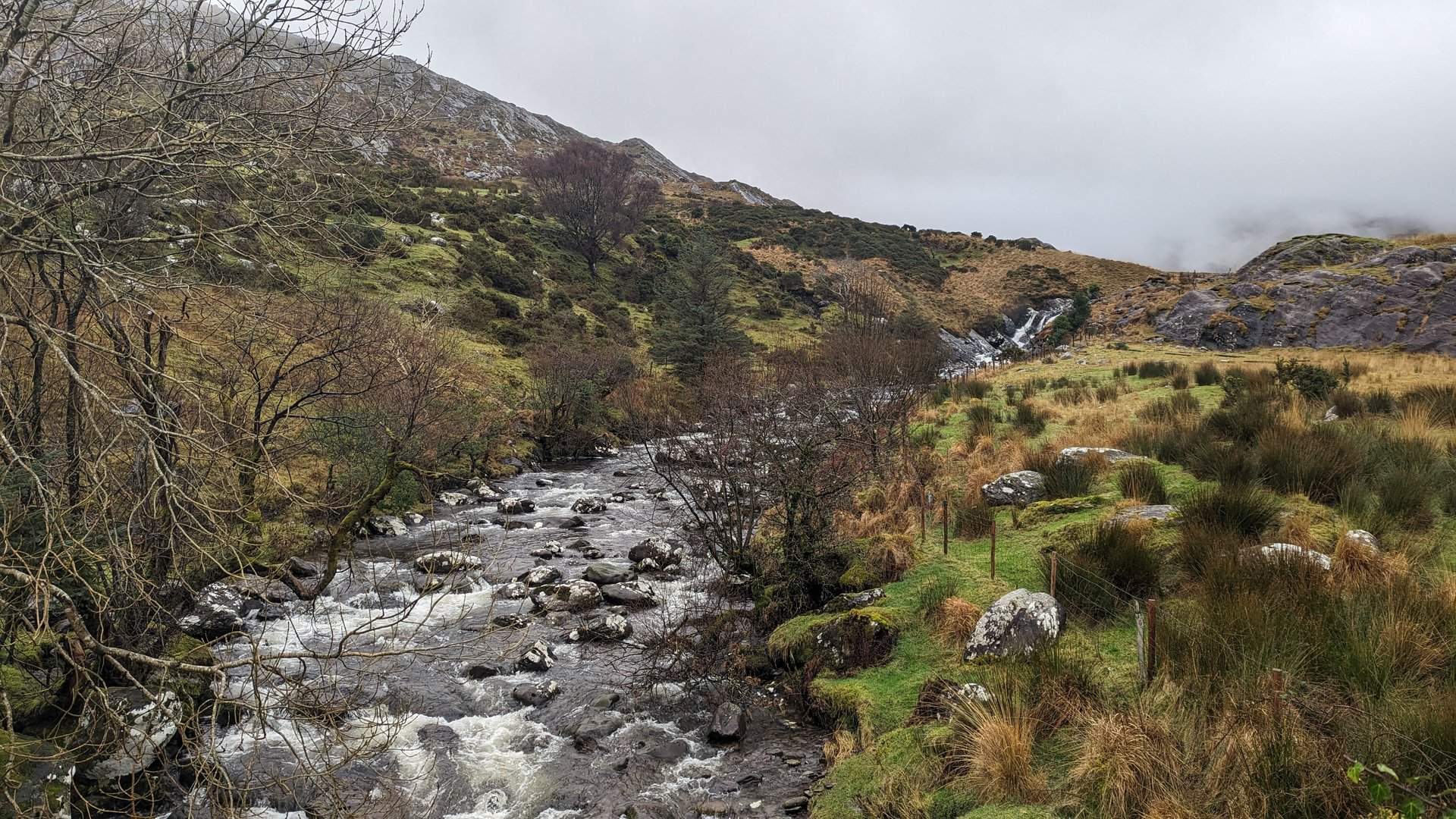
Day 3 journey of 75 km (46 miles) through Ardmalin, County Donegal, Malin, County Donegal, Culdaff, County Donegal and other locations. The journey included substantial elevation changes with 1190 meters of ascent through rolling hills and coastal headlands. 54 photos captured throughout the day.
Friday, December 1, 2023
Ardmalin, County Donegal→Malin, County Donegal→Culdaff, County Donegal→Carndonagh, County Donegal→Ballyliffin, County Donegal→Straid, County Donegal
Day 4 journey of 182 km (113 miles) through Ardmalin, County Donegal, Malin, County Donegal, Culdaff, County Donegal and other locations. The route featured significant climbing with 3151 meters of elevation gain, traversing mountainous terrain. 12 photos captured along the route.
Saturday, December 2, 2023
Ardmalin, County Donegal→Malin, County Donegal→Culdaff, County Donegal→Carndonagh, County Donegal→Ballyliffin, County Donegal→Straid, County Donegal→Dunaff, County Donegal→Desertegny, County Donegal→Fahan, County Donegal→Burt, County Donegal→Birdstown, County Donegal→Kilderry, County Donegal→Three Trees, County Donegal→Whitecastle, County Donegal→Glentogher, County Donegal→Carthage, County Donegal→Turmone, County Donegal→Greencastle, County Donegal→Stroove, County Donegal→Moville, County Donegal
Day 5 journey of 420 km (261 miles) through Ardmalin, County Donegal, Carthage, County Donegal, Culdaff, County Donegal and other locations. The route featured significant climbing with 3321 meters of elevation gain, traversing mountainous terrain. 7 photos captured along the route.
Sunday, December 3, 2023
Ardmalin, County Donegal→Carthage, County Donegal→Culdaff, County Donegal→Gleneely, County Donegal→Castlecary, County Donegal→Moville, County Donegal→Greencastle, County Donegal→Stroove, County Donegal→Redcastle, County Donegal→Whitecastle, County Donegal→Kilderry, County Donegal→Birdstown, County Donegal→Burt, County Donegal→Castleforward, County Donegal→Manorcunningham, County Donegal→Magheraboy, County Donegal→Dooballagh, County Donegal→Treantaboy, County Donegal→Stranorlar, County Donegal→Dooish, County Donegal→Clogher, County Donegal→Tullynaught, County Donegal→Laghy, County Donegal→Ballintra, County Donegal→Tullaghan, County Leitrim→Cliffoney, County Sligo→Lissadill North, County Sligo→Rossinver West, County Sligo→Drumcliff West, County Sligo→Sligo West, County Sligo→Kilmacowen, County Sligo→Collooney, County Sligo→Annagh, County Sligo→Temple, County Sligo→Streamstown, County Sligo→Leitrim, County Sligo→Tobercurry, County Sligo→Achonry West, County Sligo→Kilbeagh, County Mayo→Ballindine, County Mayo→Milltown, County Galway→Killeen, County Galway→Claretuam, County Galway→Ballinderry, County Galway→Kilmoylan, County Galway→Belleville, County Galway→Greethill, County Galway→Killeely, County Galway→Killeenavarra, County Galway→Cahermore, County Galway→Beagh, County Galway→Crusheen, County Clare→Kilraghtis, County Clare→Ballaghboy, County Clare→Newmarket, County Clare→Clenagh, County Clare
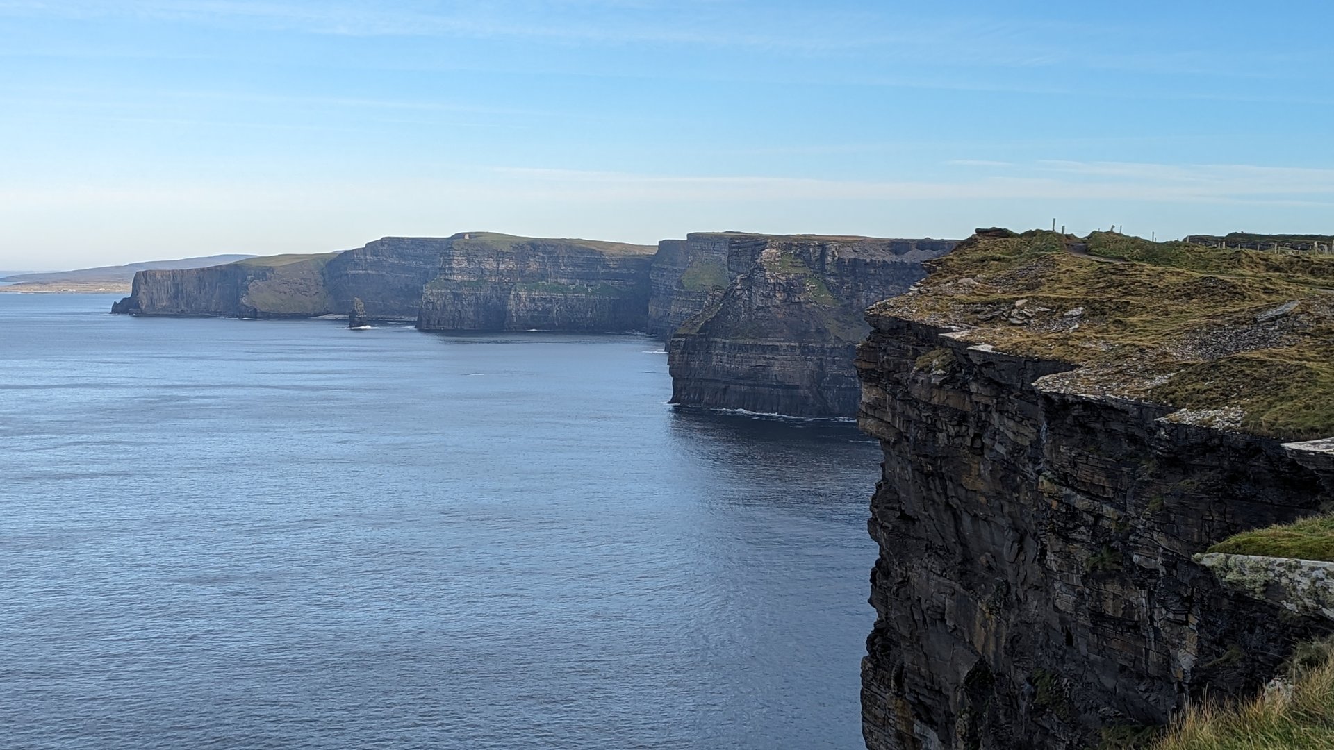
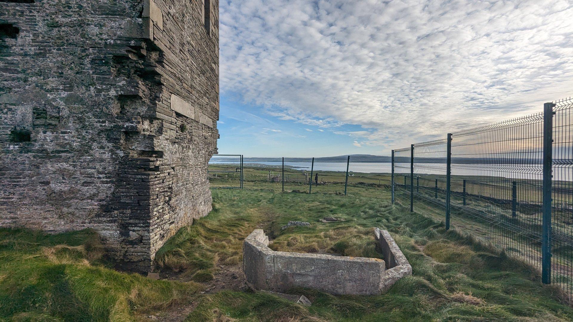
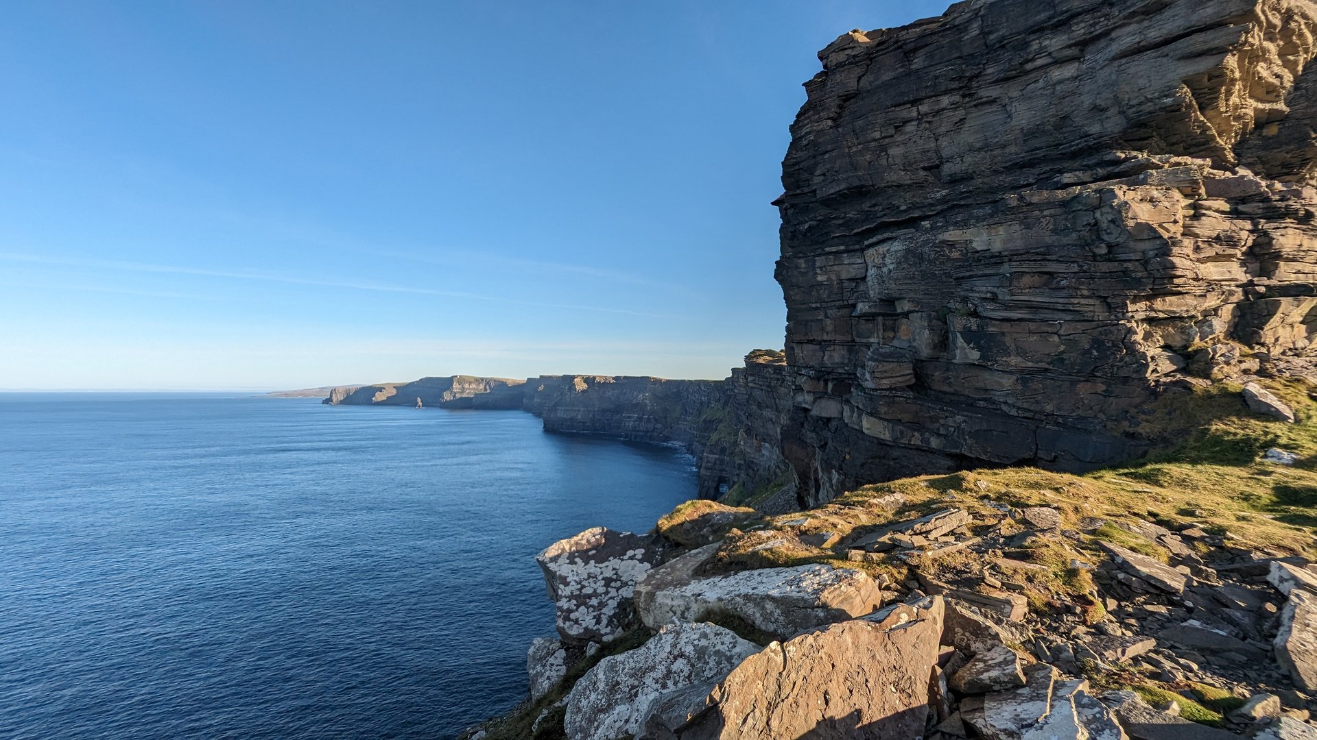
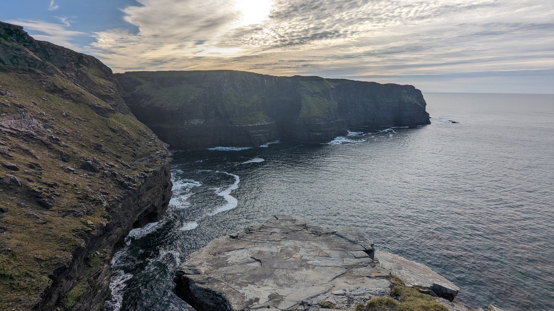
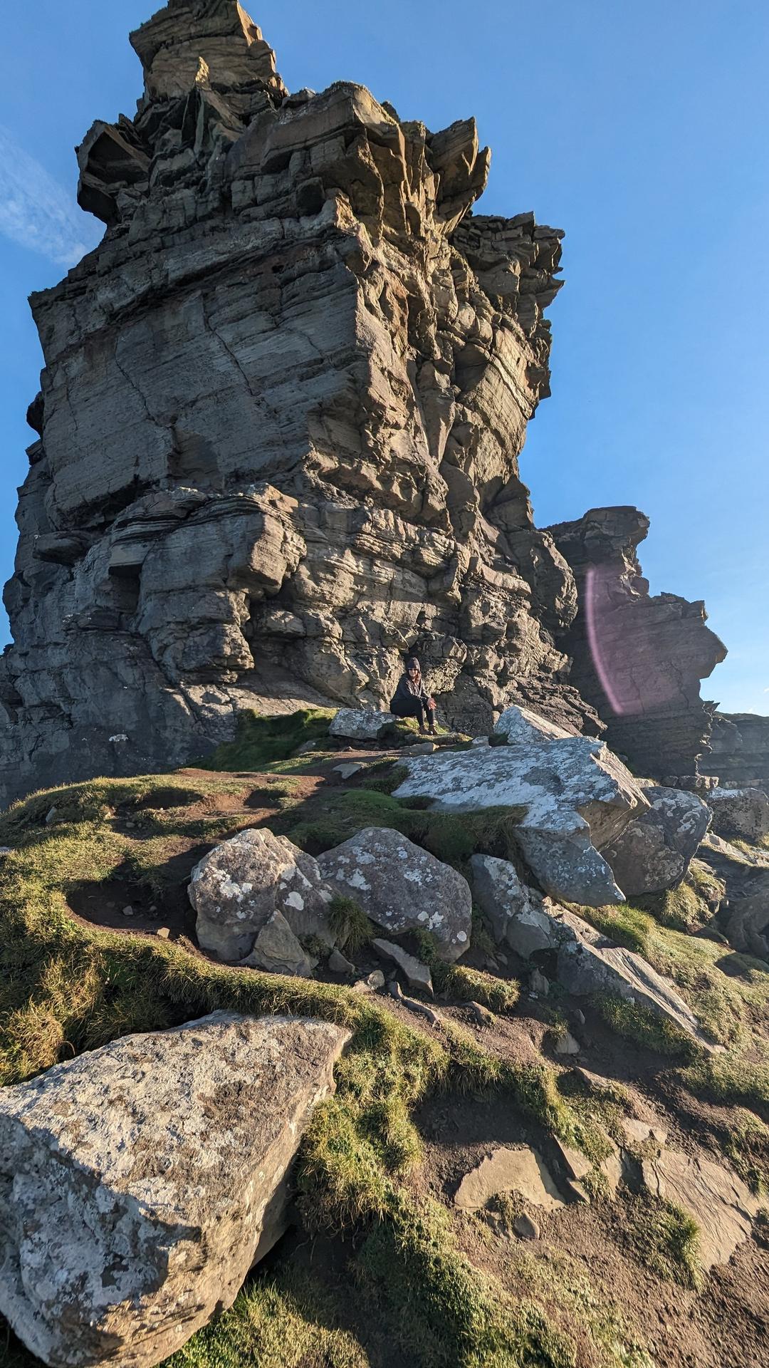
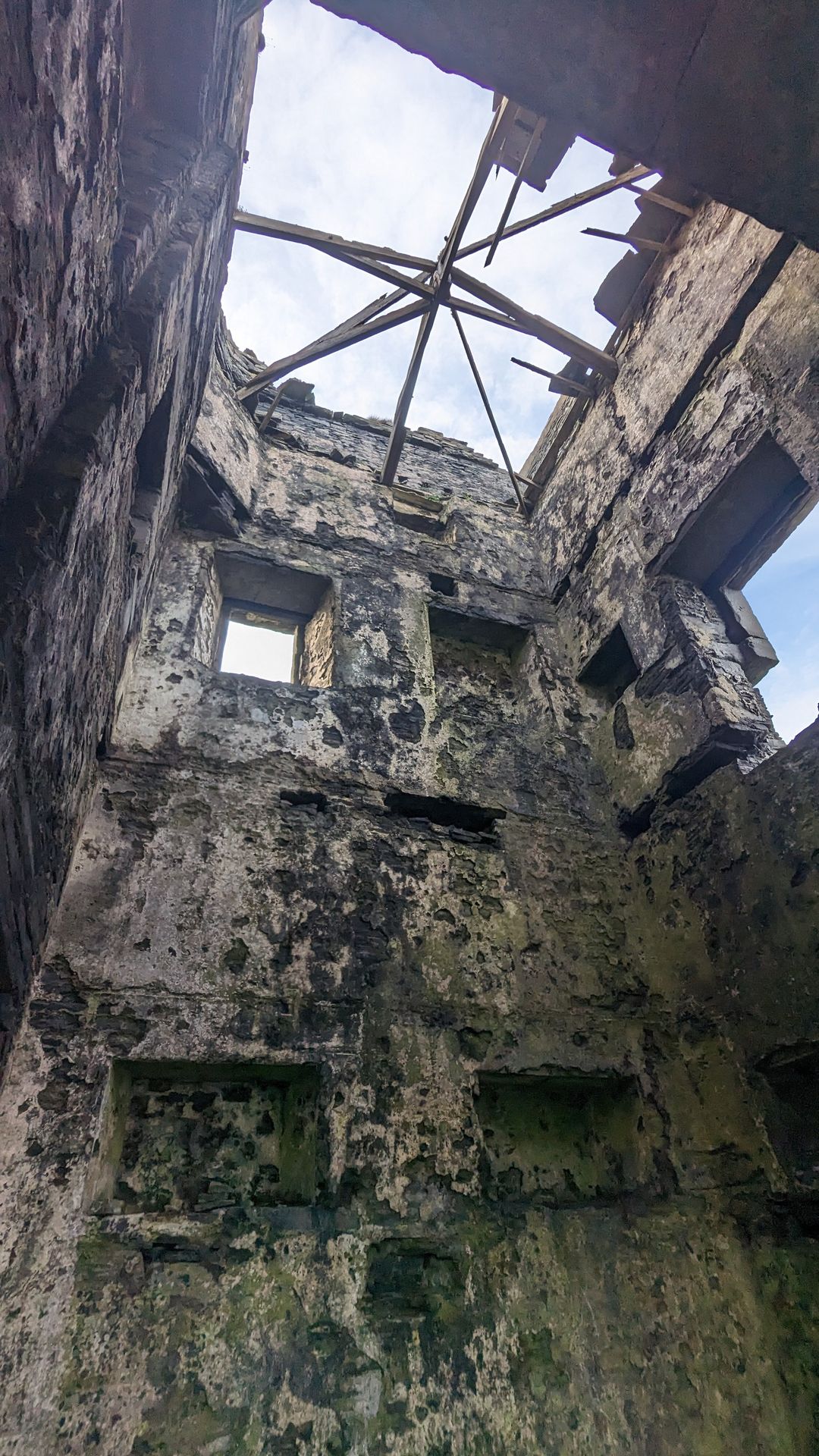
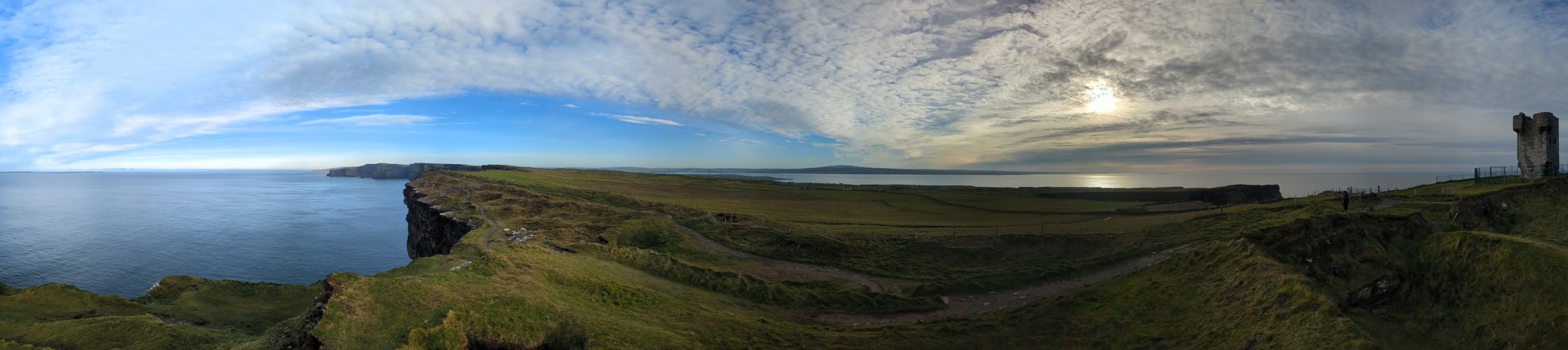
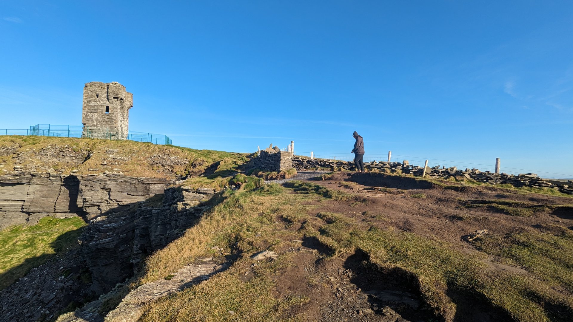
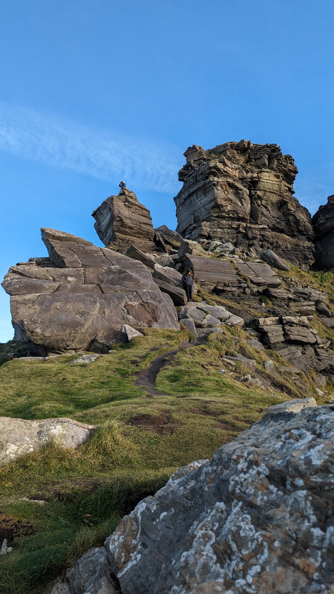
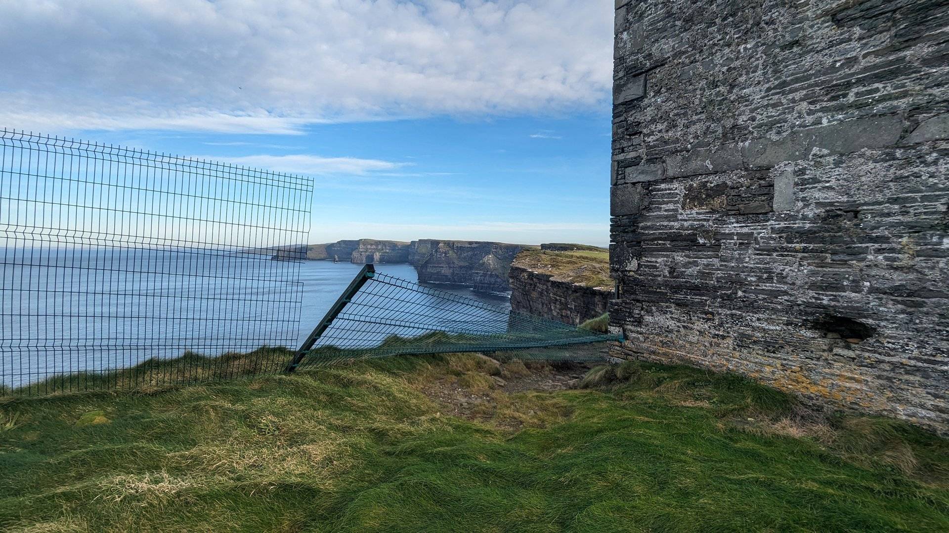
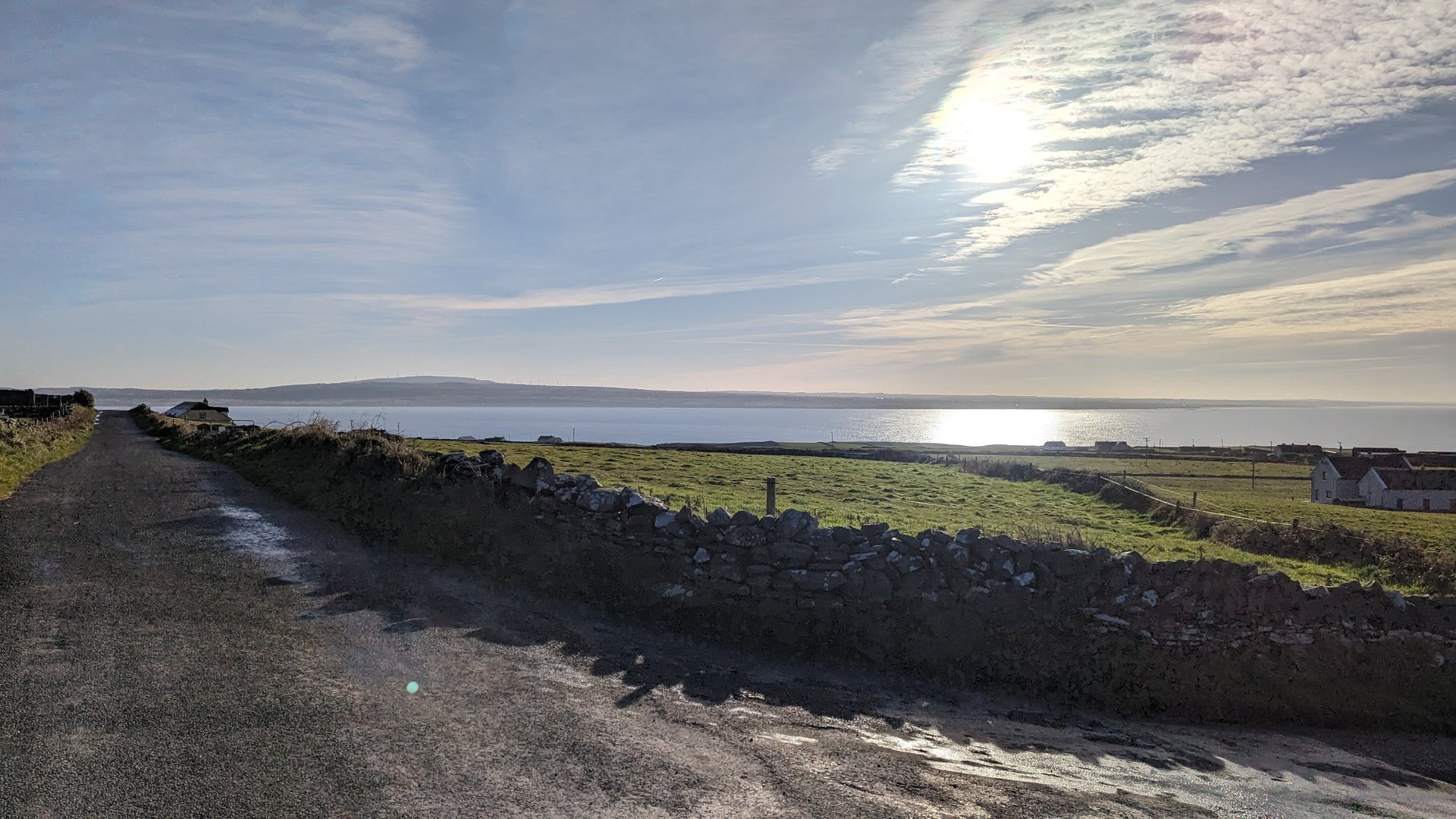
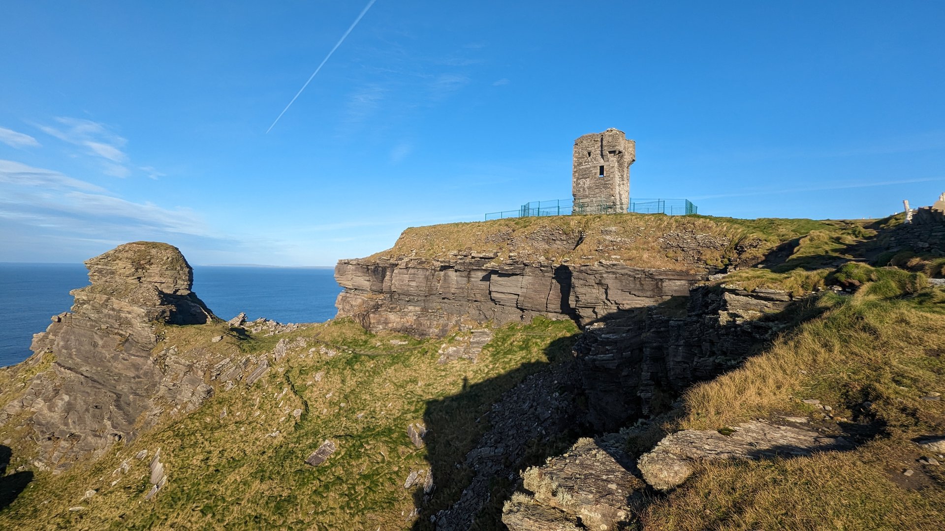
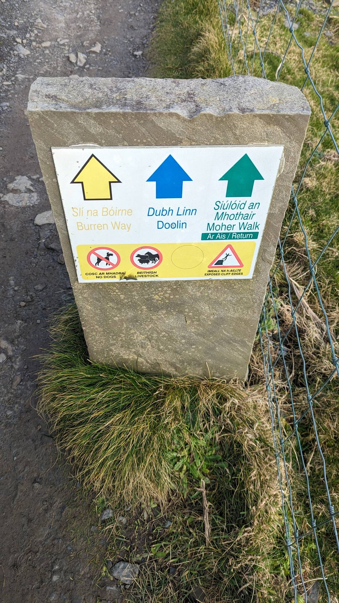
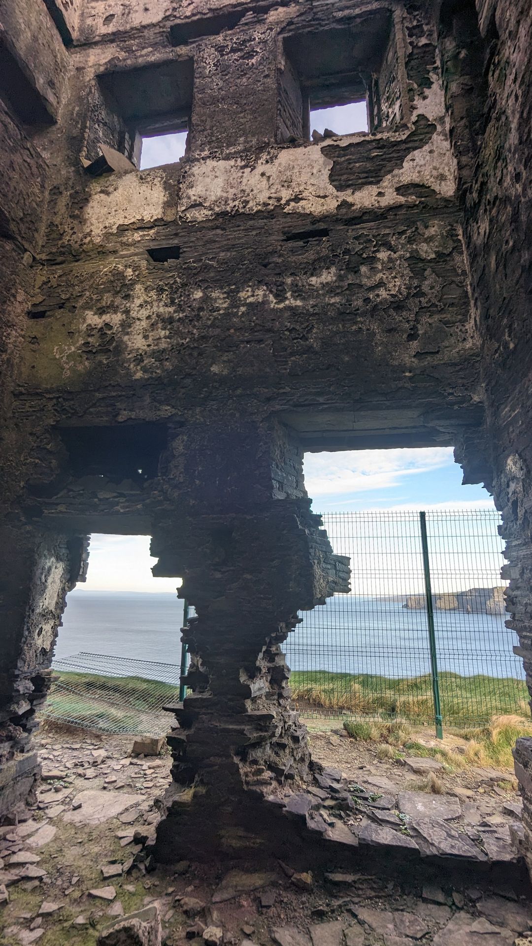
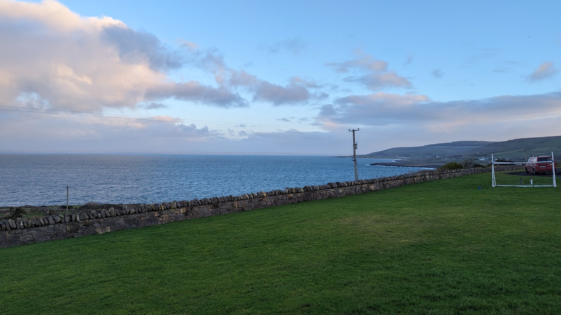
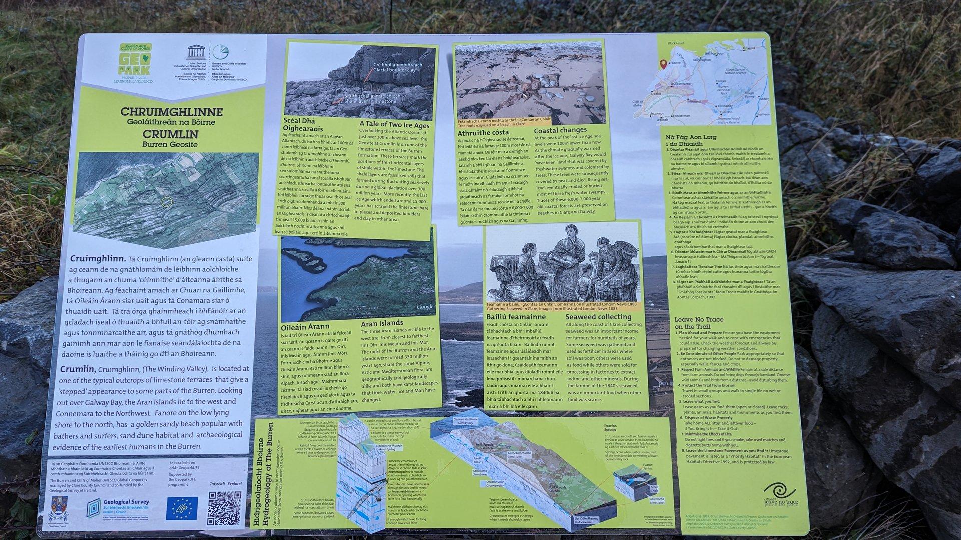
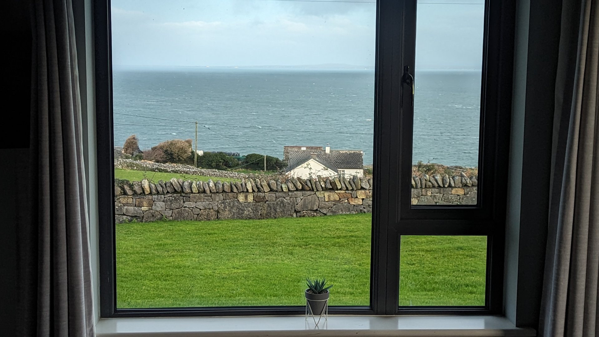
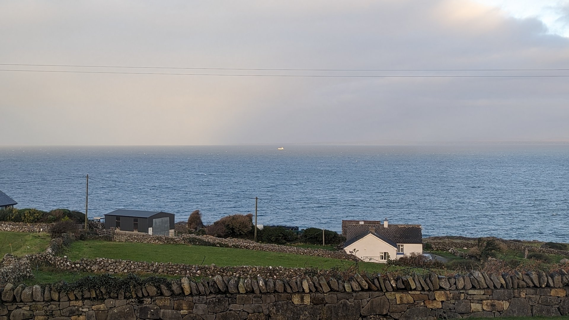
Day 6 journey of 83 km (52 miles) through Kilnamona, County Clare, Ballyea, County Clare, Clooney, County Clare and other locations. The journey included substantial elevation changes with 1330 meters of ascent through rolling hills and coastal headlands. 37 photos captured throughout the day.
Monday, December 4, 2023
Kilnamona, County Clare→Ballyea, County Clare→Clooney, County Clare→Ennistimon, County Clare→Kilshanny, County Clare→Lurraga, County Clare→Lisdoonvarna, County Clare→Liscannor, County Clare→Ballysteen, County Clare→Lahinch, County Clare
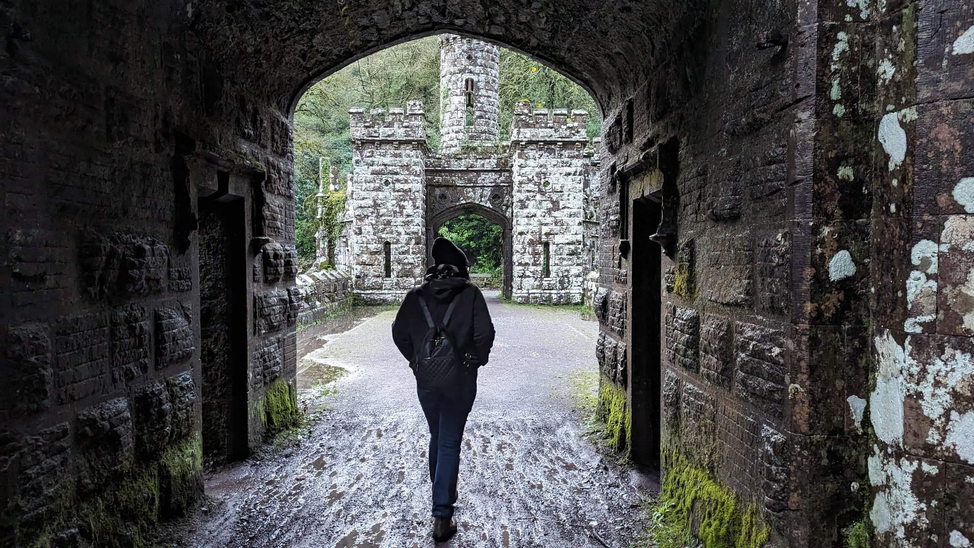
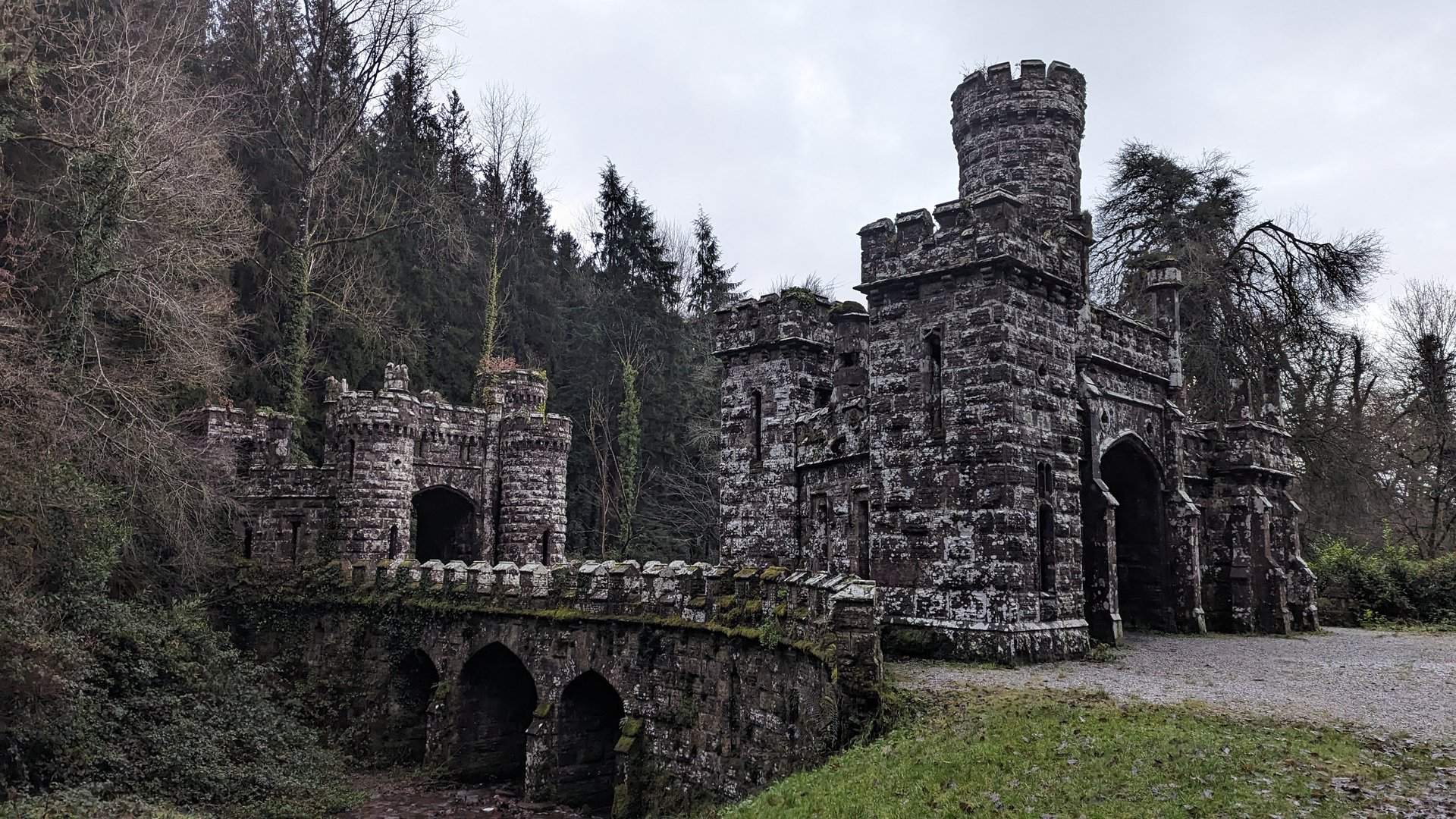
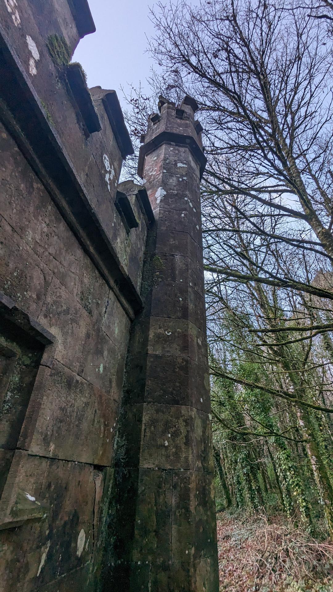
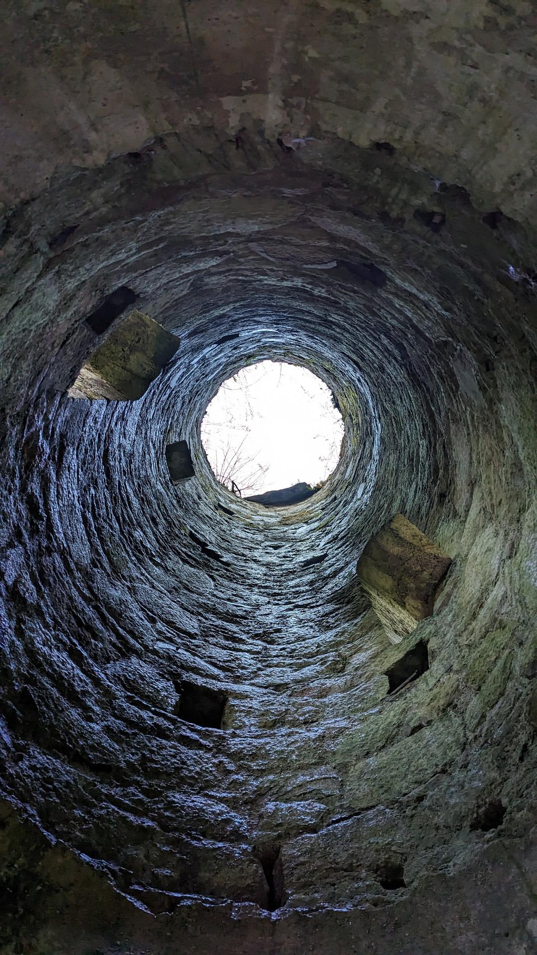
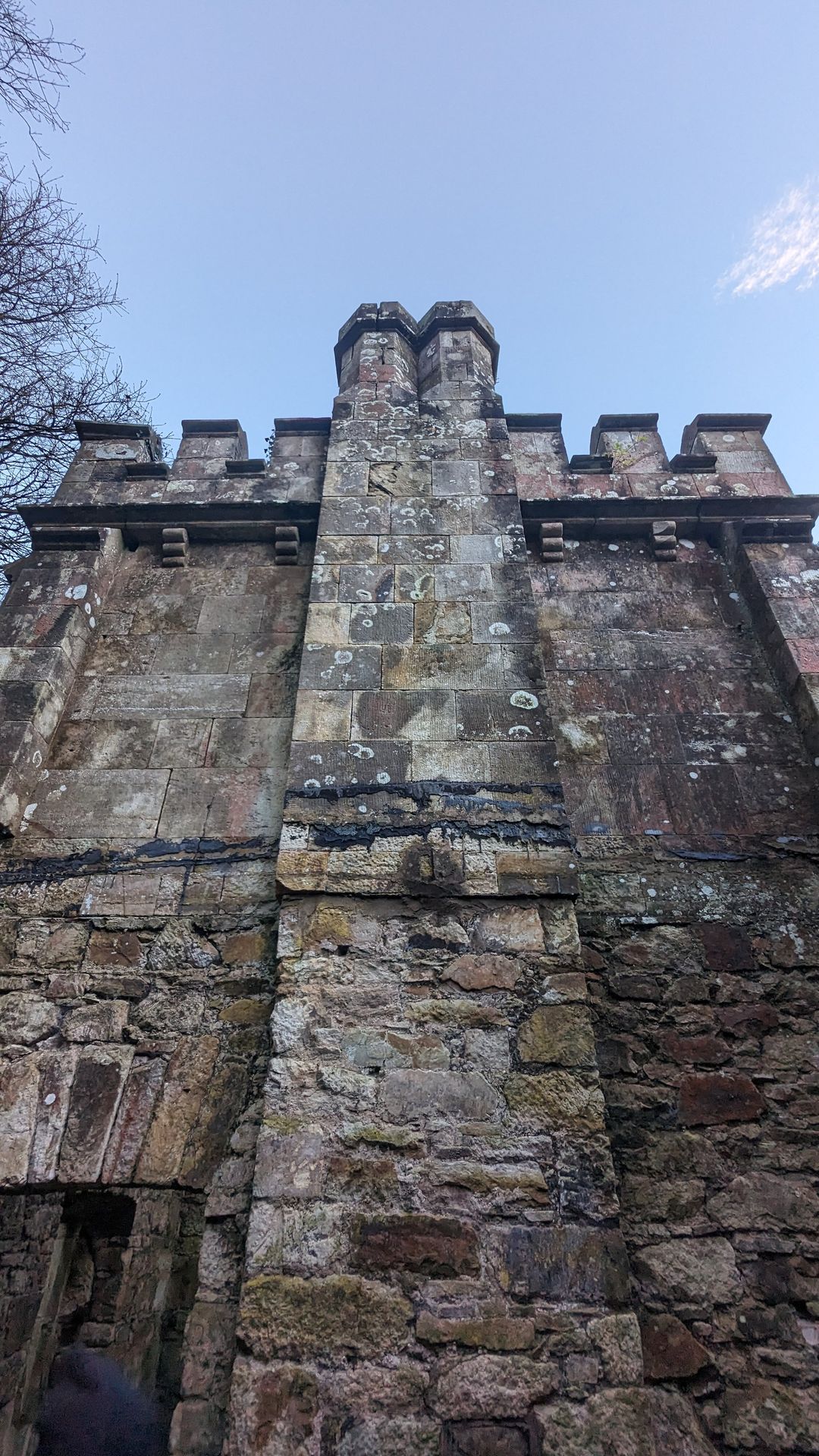
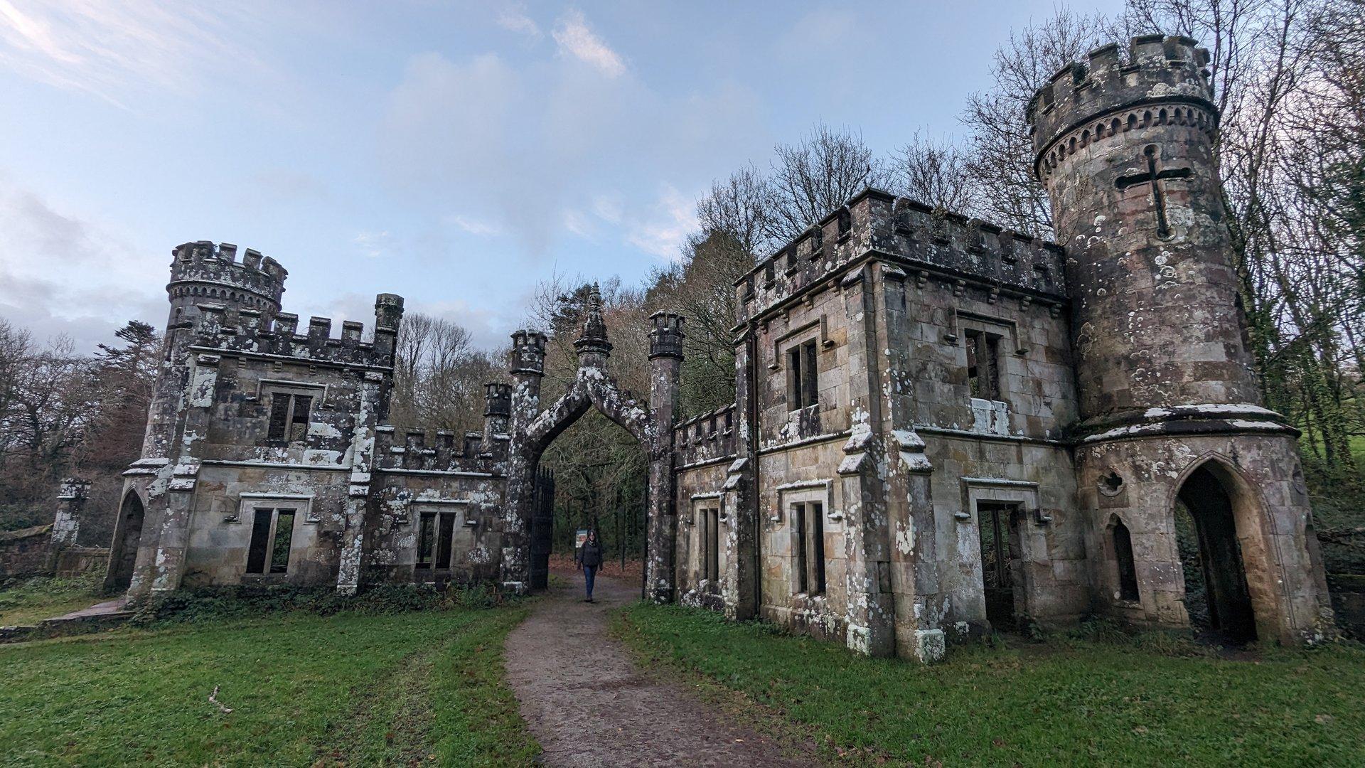
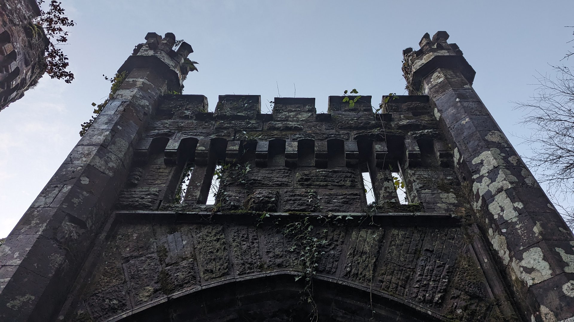
Day 7 journey of 116 km (72 miles) through The Metropolitan District of Limerick City, County Limerick, Caherconlish West, County Limerick, Caherconlish, County Limerick and other locations. The route featured significant climbing with 1674 meters of elevation gain, traversing mountainous terrain. 16 photos captured along the route.
Thursday, December 7, 2023
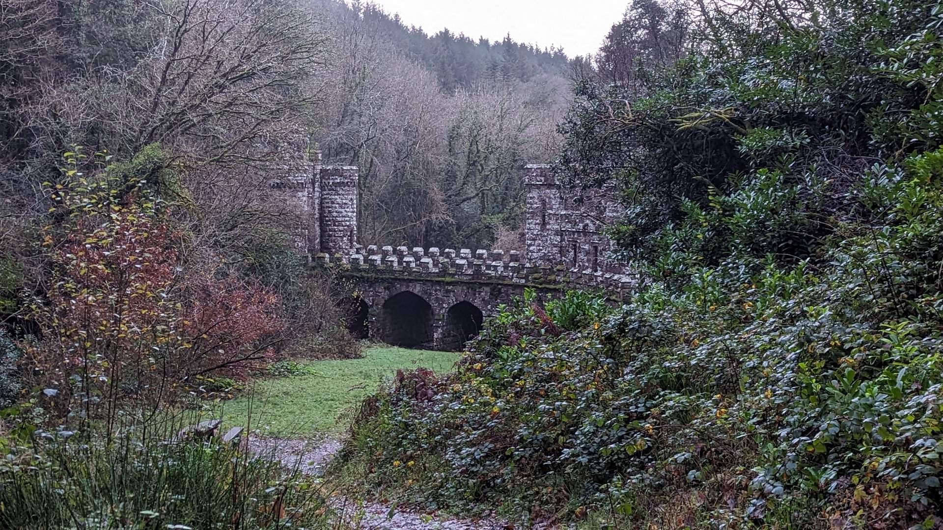
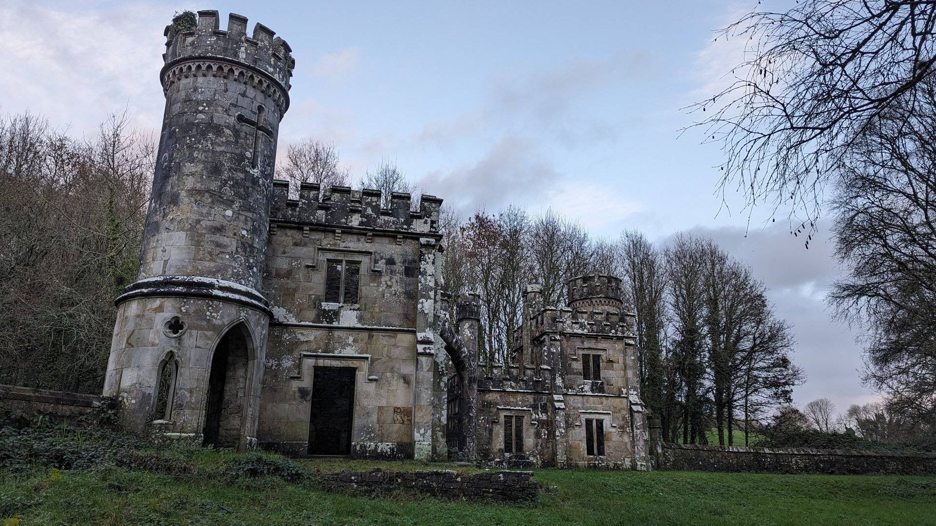
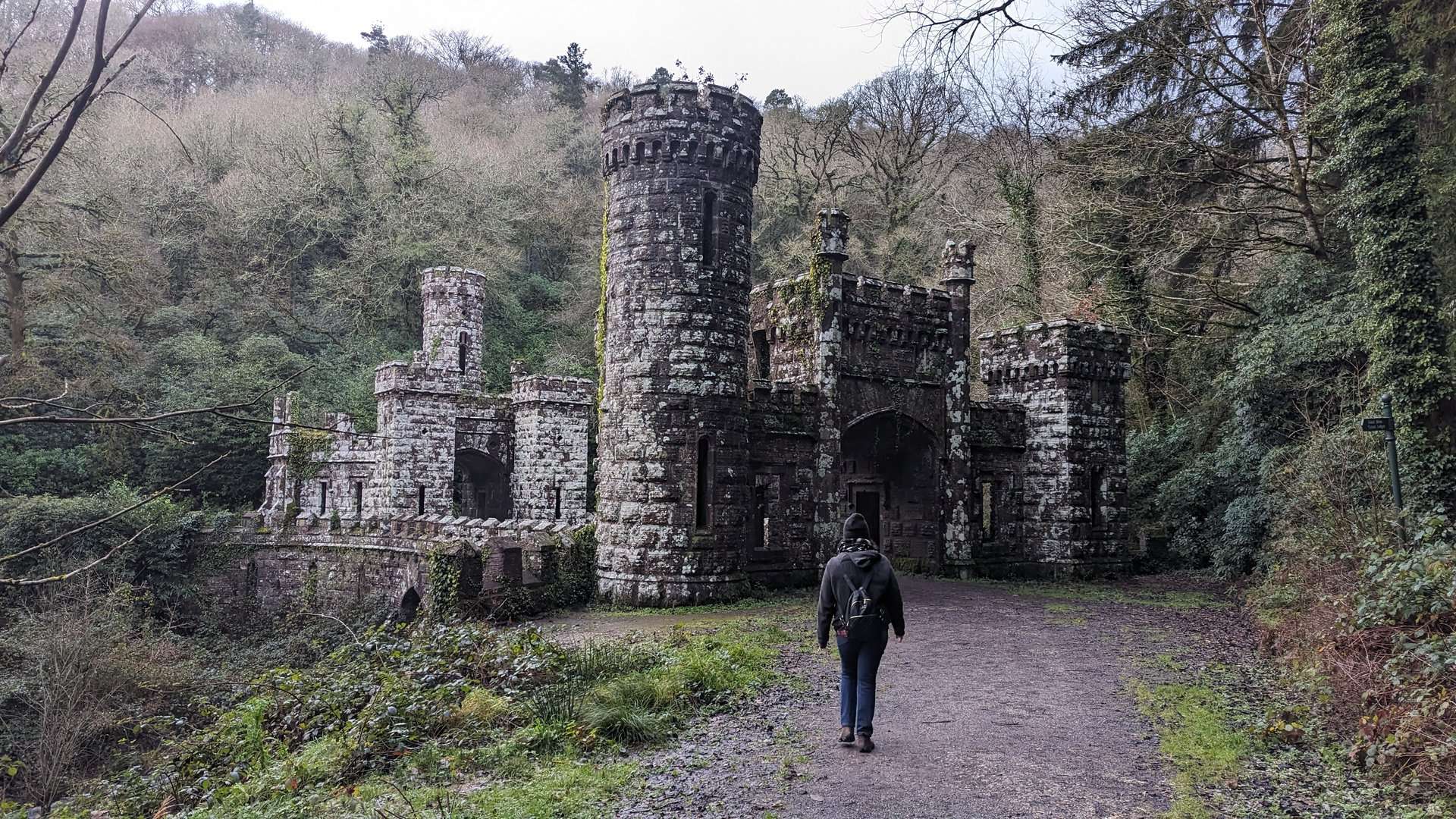
The Metropolitan District of Limerick City, County Limerick→Caherconlish West, County Limerick→Caherconlish, County Limerick→Caherelly, County Limerick→Hospital, County Limerick→Knocklong, County Limerick→Glenbrohane, County Limerick→Ballylanders, County Limerick→Cullane, County Limerick→Kilglass, County Limerick→Mitchelstown, County Cork→Kilphelan, County Cork→Kilworth, County Cork→Leitrim, County Cork→Mocollop, County Waterford→Ballyduff, County Waterford→Ballysaggart More, County Waterford→Ballysaggartmore Towers→Ballyin, County Waterford→Cappoquin, County Waterford→Mount Rivers, County Waterford→Dromana, County Waterford→Dromore, County Waterford
Day 8 journey of 160 km (99 miles) through Dromore, County Waterford, Clashmore, County Waterford, Ballyheeny, County Waterford and other locations. The route featured significant climbing with 2399 meters of elevation gain, traversing mountainous terrain. 19 photos captured along the route.
Friday, December 8, 2023
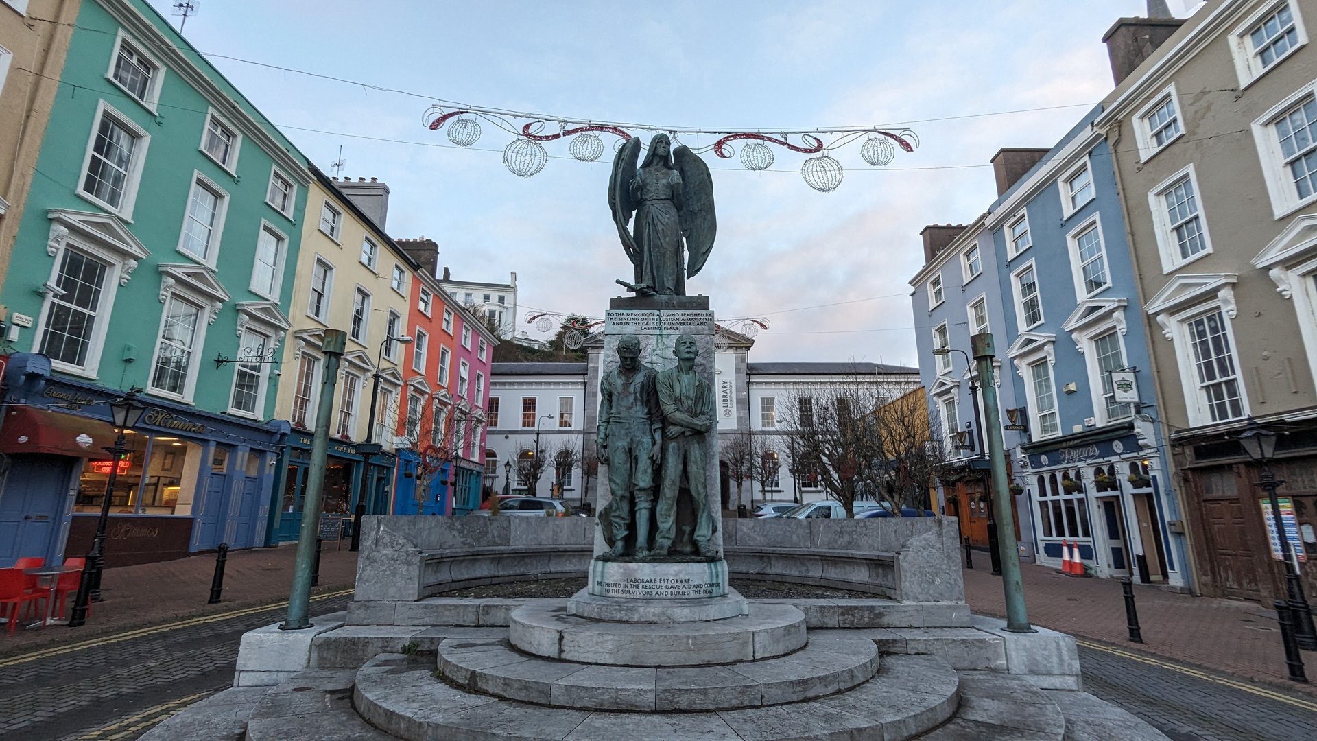
Dromore, County Waterford→Clashmore, County Waterford→Ballyheeny, County Waterford→Pilltown, County Waterford→Clonpriest, County Cork→Ardagh, County Cork→Killeagh, County Cork→Castlemartyr, County Cork→Carrigtohill, County Cork→Mogeely, County Cork→Knocknacally, County Cork→Grange, County Waterford→Ardmore, County Waterford
Day 9 journey of 619 km (385 miles) through Carriglea, County Waterford, Whitechurch, County Waterford, Dromana, County Waterford and other locations. The route featured significant climbing with 6384 meters of elevation gain, traversing mountainous terrain. 84 photos captured throughout the day.
Saturday, December 9, 2023
Carriglea, County Waterford→Whitechurch, County Waterford→Dromana, County Waterford→Dromore, County Waterford→Keereen, County Waterford→Ringville, County Waterford→Colligan, County Waterford→Seskinan, County Waterford→Graignagower, County Waterford→Ballymacarbry, County Waterford→Newcastle, County Tipperary→Knockaunbrandaun, County Waterford→Modelligo, County Waterford→Kilmacomma, County Waterford→Tullaghmelan, County Tipperary→Ballyclerahan, County Tipperary→Mortlestown, County Tipperary→Knockgraffon, County Tipperary→Templenoe, County Tipperary→George's-land, County Tipperary→Ballysheehan, County Tipperary→Moycarky, County Tipperary→Thurles, County Tipperary→Kilrush, County Tipperary→Loughmore, County Tipperary→Templemore, County Tipperary→Drom, County Tipperary→Rathnaveoge, County Tipperary→Roscrea, County Tipperary→Ettagh, County Offaly→Kilcolman, County Offaly→Eglish, County Offaly→Mounterin, County Offaly→Cloghan, County Offaly→Gallen, County Offaly→Doon, County Offaly→Doon, County Westmeath→Tubbrit, County Westmeath→Roscommon, County Roscommon→Tulsk, County Roscommon→Rossmore, County Roscommon→Lisgarve, County Roscommon→Croghan, County Roscommon→Rushfield, County Roscommon→Mocmoyne, County Roscommon→Aghanagh, County Sligo→Lakeview, County Sligo→Drumfin, County Sligo→Collooney, County Sligo→Kilmacowen, County Sligo→Magheraboy, County Sligo→Drumcliff East, County Sligo→Drumcliff West, County Sligo→Rossinver West, County Sligo→Lissadill North, County Sligo→Cliffony North, County Sligo→Tullaghan, County Leitrim→Carrickboy, County Donegal→Cavangarden, County Donegal→Ballintra, County Donegal→Laghy, County Donegal→Tullynaught, County Donegal→Donegal, County Donegal→Turris Hill, County Donegal→Inver, County Donegal→Ardara, County Donegal→Mulmosog, County Donegal→Glenties, County Donegal→Maas, County Donegal→Boyoughter, County Donegal→Cloghbolie, County Donegal→Crovehy, County Donegal→Dunglow, County Donegal→Meenacarn, County Donegal→Lettermacaward, County Donegal
Day 10 journey of 45 km (28 miles) through Lettermacaward, County Donegal, Boyoughter, County Donegal, Drumlaghdrid, County Donegal and other locations with 757 meters of elevation gain. The day yielded 41 photographs.
Sunday, December 10, 2023
Lettermacaward, County Donegal→Boyoughter, County Donegal→Drumlaghdrid, County Donegal→Dunglow, County Donegal→Atlantic Bar→Maghery, County Donegal→Cloghbolie, County Donegal
Day 11 journey of 125 km (78 miles) through Lettermacaward, County Donegal, Boyoughter, County Donegal, Doocharry, County Donegal and other locations. The route featured significant climbing with 2029 meters of elevation gain, traversing mountainous terrain. Documented with 34 photos.
Monday, December 11, 2023
Lettermacaward, County Donegal→Boyoughter, County Donegal→Doocharry, County Donegal→Dunlewy, County Donegal→Church Hill, County Donegal→Termon, County Donegal→Gartan, County Donegal→Cross Roads, County Donegal→Gortahork, County Donegal→Magheraroarty, County Donegal→Meenaclady, County Donegal→Knockfola, County Donegal→Magheraclogher, County Donegal→Annagary, County Donegal→Dunglow, County Donegal→Teach Owenie Bán
Day 12 journey of 489 km (304 miles) through Lettermacaward, County Donegal, Glenties, County Donegal, Ardara, County Donegal and other locations. The route featured significant climbing with 4546 meters of elevation gain, traversing mountainous terrain. 10 photos captured along the route.
Tuesday, December 12, 2023
Lettermacaward, County Donegal→Glenties, County Donegal→Ardara, County Donegal→Binbane, County Donegal→Eanymore, County Donegal→Turris Hill, County Donegal→Donegal, County Donegal→Laghy, County Donegal→Ballintra, County Donegal→Carrickboy, County Donegal→Tullaghan, County Leitrim→Cliffony North, County Sligo→Cliffoney, County Sligo→Lissadill North, County Sligo→Carney, County Sligo→Drumcliff East, County Sligo→Shannon Eighter, County Sligo→Sligo West, County Sligo→Kilmacowen, County Sligo→Collooney, County Sligo→Carrickbanagher, County Sligo→Temple, County Sligo→Streamstown, County Sligo→Tobercurry, County Sligo→Achonry East, County Sligo→Achonry West, County Sligo→Kilbeagh, County Mayo→Ballyhowly, County Mayo→Ballindine, County Mayo→Milltown, County Galway→Doonbally, County Galway→Killeen, County Galway→Ballinderry, County Galway→Kilmoylan, County Galway→Belleville, County Galway→Greethill, County Galway→Stradbally, County Galway→Castletaylor, County Galway→Gort, County Galway→Beagh, County Galway→Crusheen, County Clare→Kilraghtis, County Clare→Ballaghboy, County Clare→Newmarket, County Clare→Urlan, County Clare→McDonald's→Clenagh, County Clare→Drumline, County Clare→Cratloe, County Clare→Killeely, County Clare→The Metropolitan District of Limerick City, County Limerick→Daly's Cross, County Limerick→Kilcomenty, County Tipperary→Burgesbeg, County Tipperary→Nenagh, County Tipperary→Kilkeary, County Tipperary→Ballymackey, County Tipperary→Dunkerrin, County Offaly→Rathnaveoge, County Tipperary→Timoney, County Tipperary→Borris-in-Ossory, County Laois→Castletown, County Laois→Mountrath, County Laois→Clonkeen, County Laois→Clondarrig, County Laois→Sheffield Cross, County Laois→Emo, County Laois→Old Pound, County Laois→Ballybrittas, County Laois
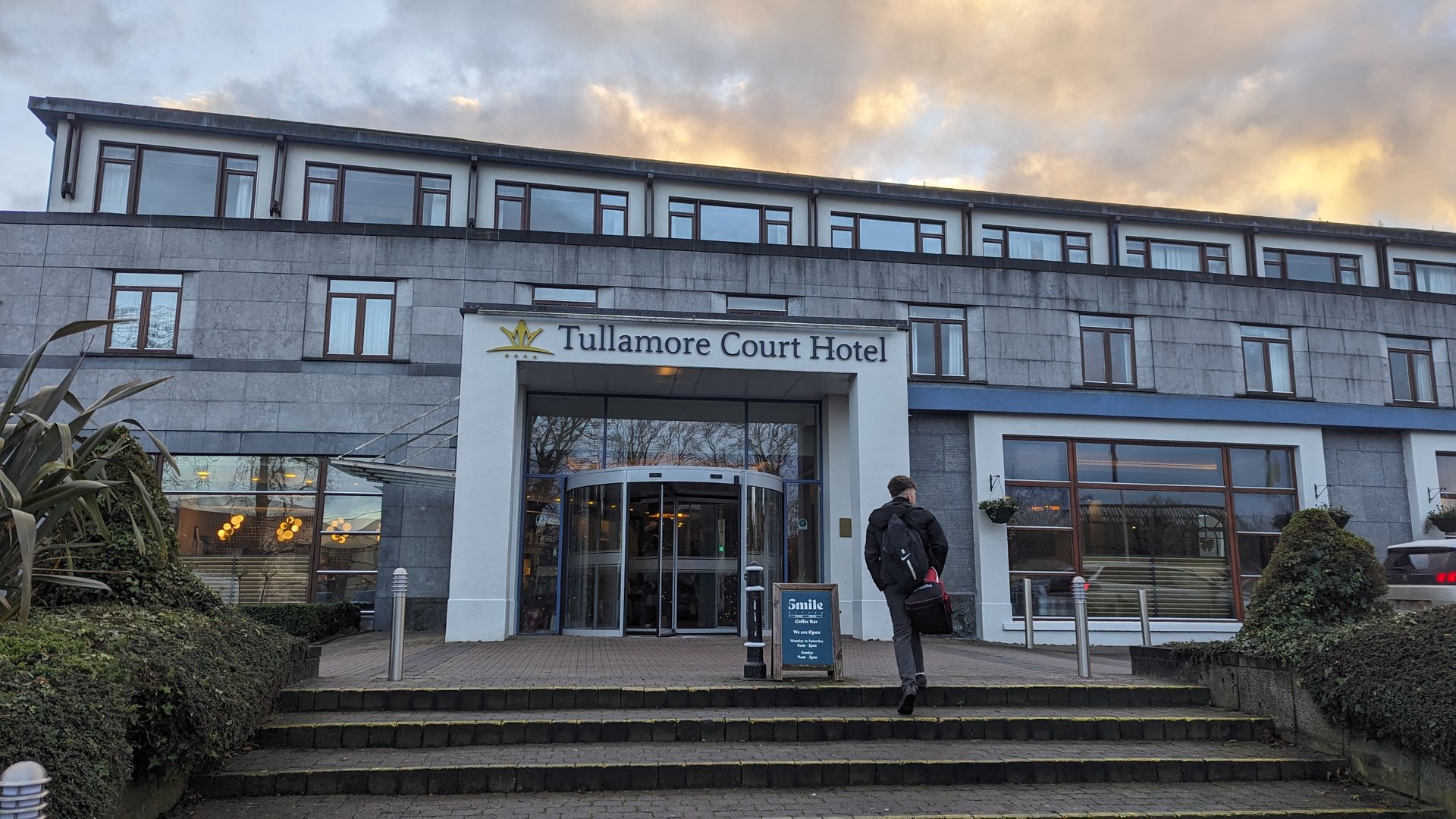
Day 13 journey of 71 km (44 miles) through Portarlington, County Laois, Portarlington North, County Offaly, Clonygowan, County Offaly and other locations. The journey included substantial elevation changes with 1173 meters of ascent through rolling hills and coastal headlands with 5 photos.
Wednesday, December 13, 2023
Portarlington, County Laois→Portarlington North, County Offaly→Clonygowan, County Offaly→Geashill, County Offaly→Tullamore Court Hotel→Tullamore, County Offaly→Bridge House Hotel→Cappancur, County Offaly→Ulster Bank→The Heritage
Day 14 journey of 312 km (194 miles) through Ballybrittas, County Laois, Kilmullen, County Laois, Portarlington, County Laois and other locations. The route featured significant climbing with 2635 meters of elevation gain, traversing mountainous terrain. 16 photos captured along the route.
Thursday, December 14, 2023
Ballybrittas, County Laois→Kilmullen, County Laois→Portarlington, County Laois→Ballyshear, County Offaly→Raheenakeeran, County Offaly→Ballaghassaan, County Offaly→Ballycon, County Offaly→Daingean, County Offaly→Kilclonfert, County Offaly→Ballykilmore, County Westmeath→Clonfad, County Westmeath→Belvidere, County Westmeath→Owel, County Westmeath→Woodland, County Westmeath→Ballinalack, County Westmeath→Kilsallagh, County Longford→Tinnynarr, County Longford→Cooleeny, County Longford→Aghadegnan, County Longford→Minard, County Longford→Deerpark, County Longford→Newtown Forbes, County Longford→Roosky, County Leitrim→Annaduff, County Leitrim→Drumsna, County Leitrim→Gowel, County Leitrim→Leitrim, County Leitrim→Aghafin, County Roscommon→Saint Patrick's, County Leitrim→Drumkeeran, County Leitrim→Belhavel, County Leitrim→Cloonlogher, County Leitrim→Manorhamilton, County Leitrim→Lurganboy, County Leitrim→Glenade, County Leitrim→Aghalateeve, County Leitrim→Kinlough, County Leitrim→Rossinver East, County Sligo→Tullaghan, County Leitrim→Carrickboy, County Donegal→Cavangarden, County Donegal→Ballintra, County Donegal→Laghy, County Donegal→Tullynaught, County Donegal→Donegal, County Donegal→Mountcharles, County Donegal→Tantallon, County Donegal→Bonnyglen, County Donegal→Binbane, County Donegal→Glenties, County Donegal→Ardara, County Donegal→Lettermacaward, County Donegal
Day 15 journey of 44 km (28 miles) through Lettermacaward, County Donegal, Boyoughter, County Donegal, Glenties, County Donegal and other locations. The journey included substantial elevation changes with 1121 meters of ascent through rolling hills and coastal headlands.
Friday, December 15, 2023
Lettermacaward, County Donegal→Boyoughter, County Donegal→Glenties, County Donegal→Maas, County Donegal→Dawros, County Donegal→Ardara, County Donegal→Brae House B&B→The Bridge Bar→Nancy's→Great Wall
Day 16 journey of 175 km (109 miles) through Lettermacaward, County Donegal, Boyoughter, County Donegal, Drumlaghdrid, County Donegal and other locations. The route featured significant climbing with 2900 meters of elevation gain, traversing mountainous terrain. 16 photos captured along the route.
Saturday, December 16, 2023
Lettermacaward, County Donegal→Boyoughter, County Donegal→Drumlaghdrid, County Donegal→Dunglow, County Donegal→Teach Owenie Bán→Annagary, County Donegal→Magheraclogher, County Donegal→Gortahork, County Donegal→Dunlewy, County Donegal→Cross Roads, County Donegal→Creenasmear, County Donegal→Creeslough, County Donegal→Doe Castle, County Donegal→Glen, County Donegal→Carrickart, County Donegal→Rosguill, County Donegal→Ards, County Donegal→McCafferty’s Bar and Restaurant→Crovehy, County Donegal→Cloghbolie, County Donegal
Day 17 journey of 318 km (198 miles) through Ardara, County Donegal, Binbane, County Donegal, Eanymore, County Donegal and other locations. The route featured significant climbing with 2783 meters of elevation gain, traversing mountainous terrain.
Sunday, December 17, 2023
Ardara, County Donegal→Binbane, County Donegal→Eanymore, County Donegal→Tantallon, County Donegal→Donegal, County Donegal→Laghy, County Donegal→Ballintra, County Donegal→Cavangarden, County Donegal→Carrickboy, County Donegal→Cliffony North, County Sligo→Cliffony South, County Sligo→ESB ecars→Rossinver West, County Sligo→Drumcliff West, County Sligo→Drumcliff East, County Sligo→Sligo West, County Sligo→Kilmacowen, County Sligo→Collooney, County Sligo→Annagh, County Sligo→Temple, County Sligo→Streamstown, County Sligo→Tobercurry, County Sligo→Achonry East, County Sligo→Kilbeagh, County Mayo→Ballindine, County Mayo→Milltown, County Galway→Killeen, County Galway→Claretuam, County Galway→Annaghdown, County Galway→Claregalway, County Galway→Castlegar, County Galway→Mervue, County Galway→Ballybaan, County Galway→Oranmore, County Galway→Clarinbridge, County Galway→Kilcolgan, County Galway→Drumacoo, County Galway→Killeenavarra, County Galway→Kinvarra, County Galway→Oughtmama, County Clare→Abbey, County Clare→Drumcreehy, County Clare→Gleninagh, County Clare→Derreen, County Clare→Lurraga, County Clare→Cloghaun, County Clare→Lisdoonvarna, County Clare
Day 18 journey of 492 km (306 miles) through Cloghaun, County Clare, Lisdoonvarna, County Clare, Kilfenora, County Clare and other locations. The route featured significant climbing with 5070 meters of elevation gain, traversing mountainous terrain. 30 photos captured throughout the day.
Monday, December 18, 2023
Derreen, County Clare→Cloghaun, County Clare→Lisdoonvarna, County Clare→Kilfenora, County Clare→Kiltoraght, County Clare→Killinaboy, County Clare→Corofin, County Clare→Ruan, County Clare→Templemaley, County Clare→Doora, County Clare→Newmarket, County Clare→Clenagh, County Clare→Drumline, County Clare→Cratloe, County Clare→The Metropolitan District of Limerick City, County Limerick→Dunnaman, County Limerick→Croom, County Limerick→Rockhill, County Limerick→Colmanswell, County Limerick→Rathluirc, County Cork→Milltown, County Cork→Dromina, County Cork→Allow, County Cork→Barleyhill, County Cork→Newmarket, County Cork→Ballyhoolahan, County Cork→Skagh, County Cork→Cullen, County Cork→Knocknagree, County Cork→Rathmore, County Kerry→Headfort, County Kerry→Brewsterfield, County Kerry→Clydagh, County Kerry→Flesk, County Kerry→Kilgarvan, County Kerry→Cappagh, County Kerry→Kenmare, County Kerry→Banawn, County Kerry→Glengarriff, County Cork→Kealkill, County Cork→Douce, County Cork→Bealanageary, County Cork→Cleanrath, County Cork→Derryfineen, County Cork→Kilnamartery, County Cork→Clondrohid, County Cork→Coomlogane, County Cork→Drishane, County Cork→Rathcool, County Cork→Rosnalee, County Cork→Dromagh, County Cork→Coolclogh, County Cork→Kanturk, County Cork→Bawncross, County Cork→Clareabbey, County Clare→Kilnamona, County Clare→Ballyea, County Clare→Clooney, County Clare→Ennistimon, County Clare→Kilshanny, County Clare→Lurraga, County Clare→Fitz's Cross, County Clare→Killilagh, County Clare