Ireland Road Trip - September 2022
September 10, 2022 – September 22, 2022 • 12 days
A 12-day journey
Day 1
Day 1 journey of 198 km (123 miles) through Carrickart, County Donegal, Fanad West, County Donegal, Fanad North, County Donegal and other locations. The route featured significant climbing with 3674 meters of elevation gain, traversing mountainous terrain. The day yielded 75 photographs.
Saturday, September 10, 2022
Rosguill, County Donegal
→
Carrickart, County Donegal
→
Fanad West, County Donegal
→
Fanad North, County Donegal
→
Glen, County Donegal
→
Creeslough, County Donegal
→
Creenasmear, County Donegal
→
Cross Roads, County Donegal
→
Killult, County Donegal
→
Gortahork, County Donegal
→
Magheraclogher, County Donegal
→
Annagary, County Donegal
→
Meenaclady, County Donegal
→
Knockfola, County Donegal
→
Magheraroarty, County Donegal
→
Christ the King
→
Falcarragh Garda Station
→
Ray Upper, County Donegal
→
Ards, County Donegal
Day Statistics 198km • 207 photos
Distance
198.2 km
Duration
10.2 hrs
Elevation Gain
3673 m
Photos
75
🗺️ Route Map
📸 Photos (16 of 64)
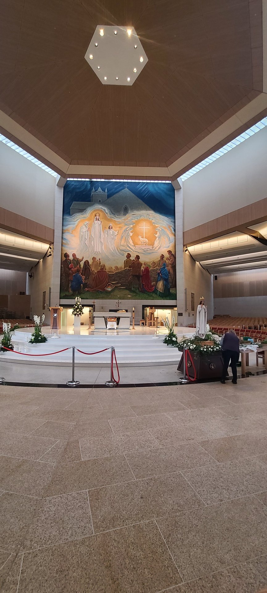
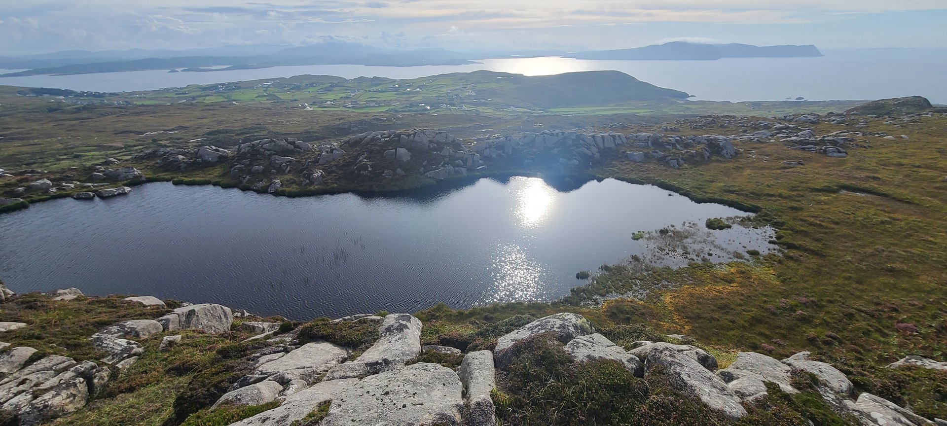
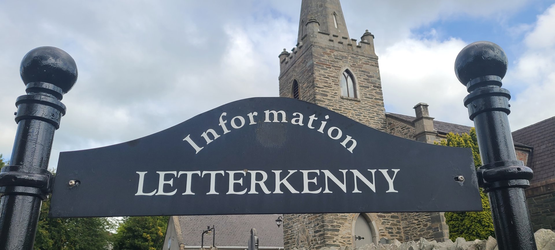

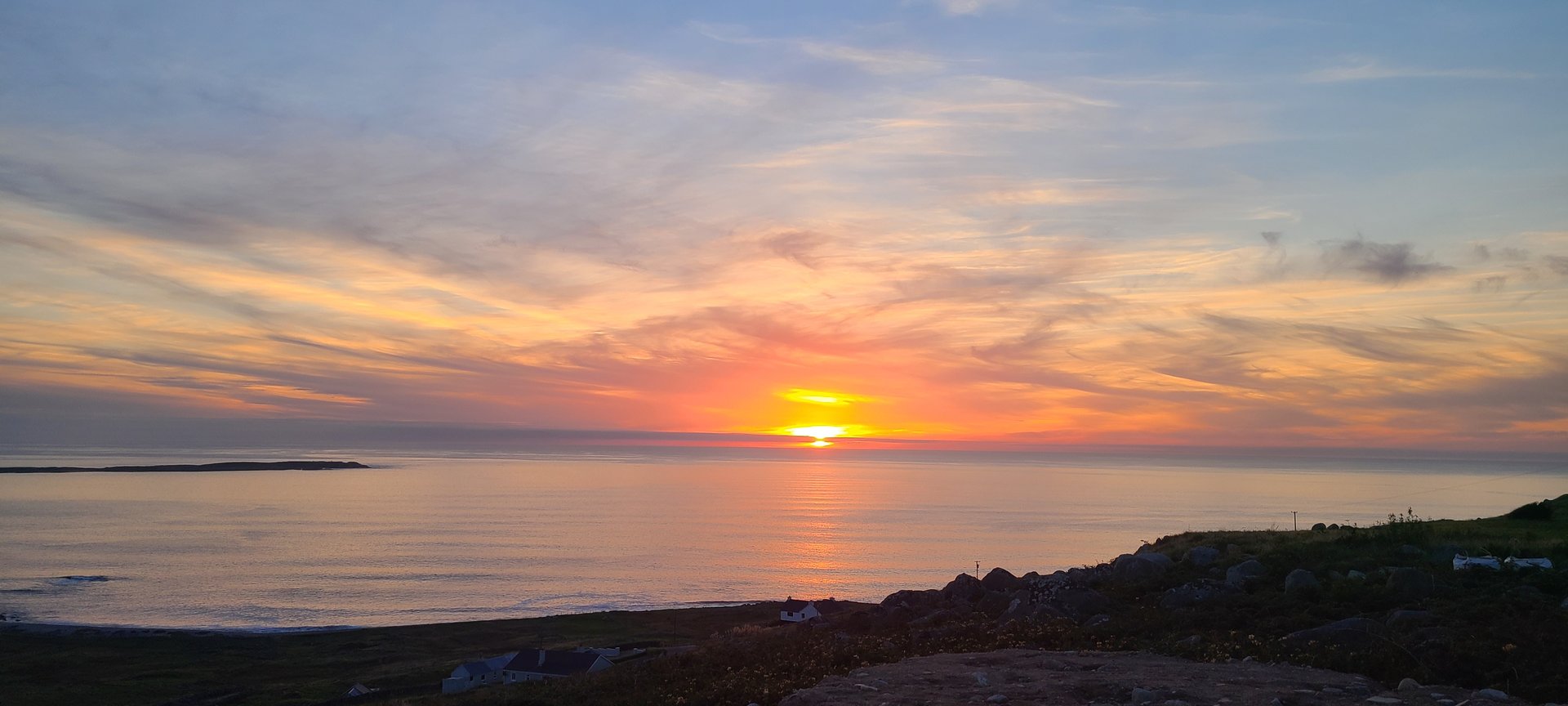
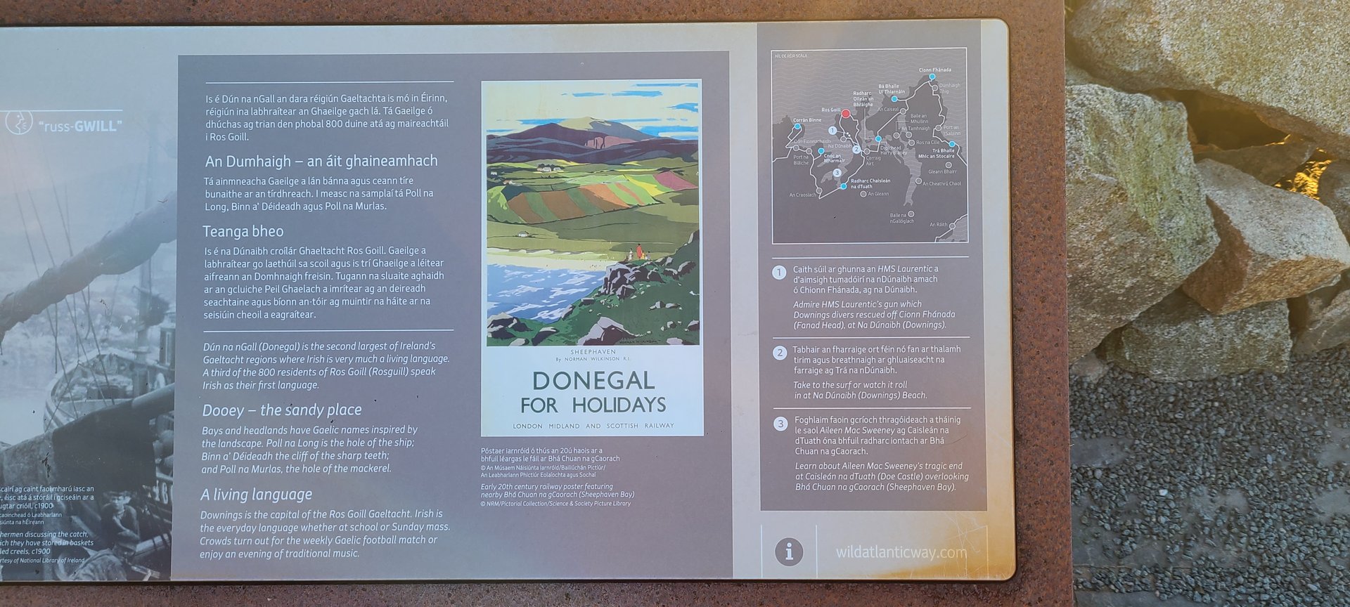
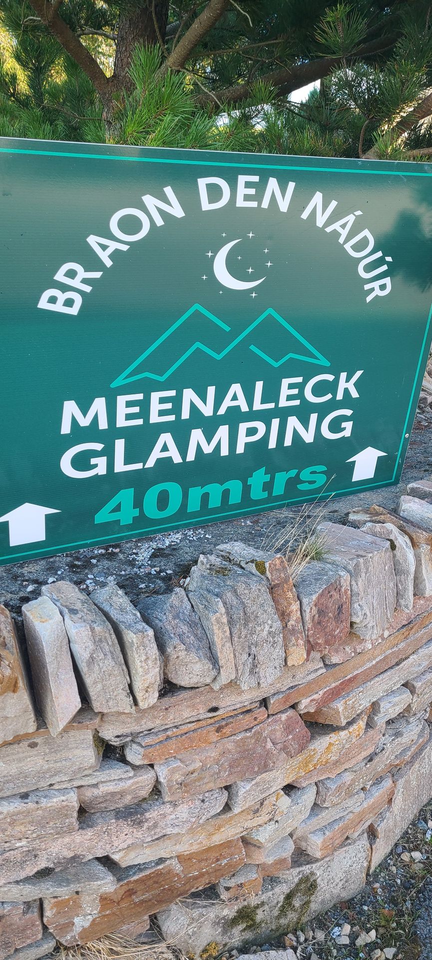
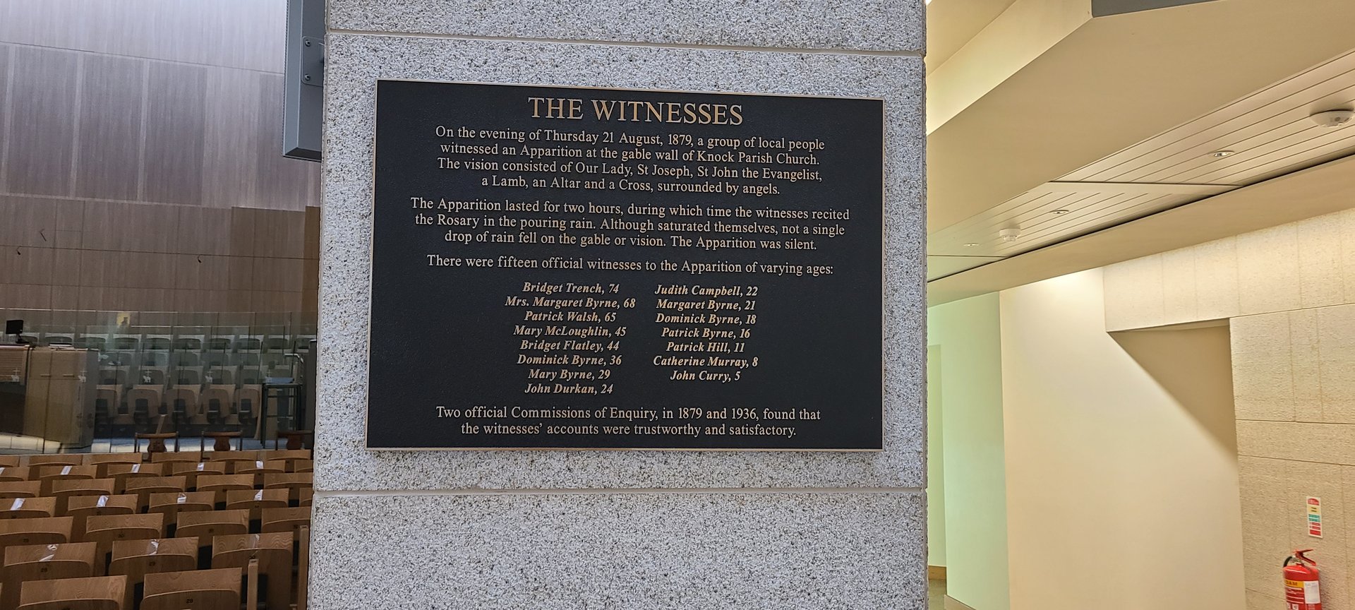
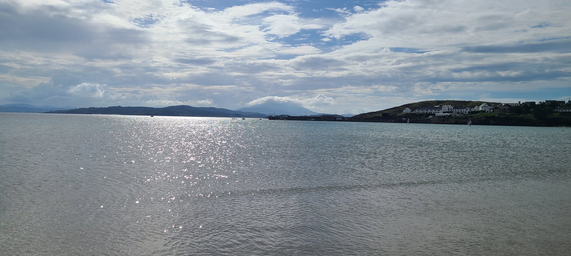
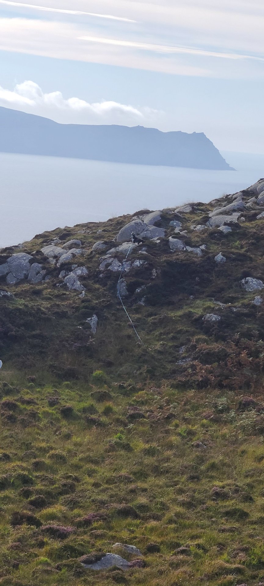
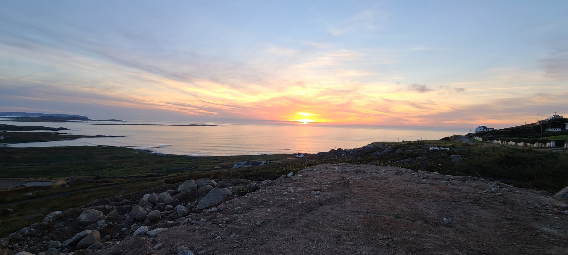
Refresh page to see different photos
Day 2
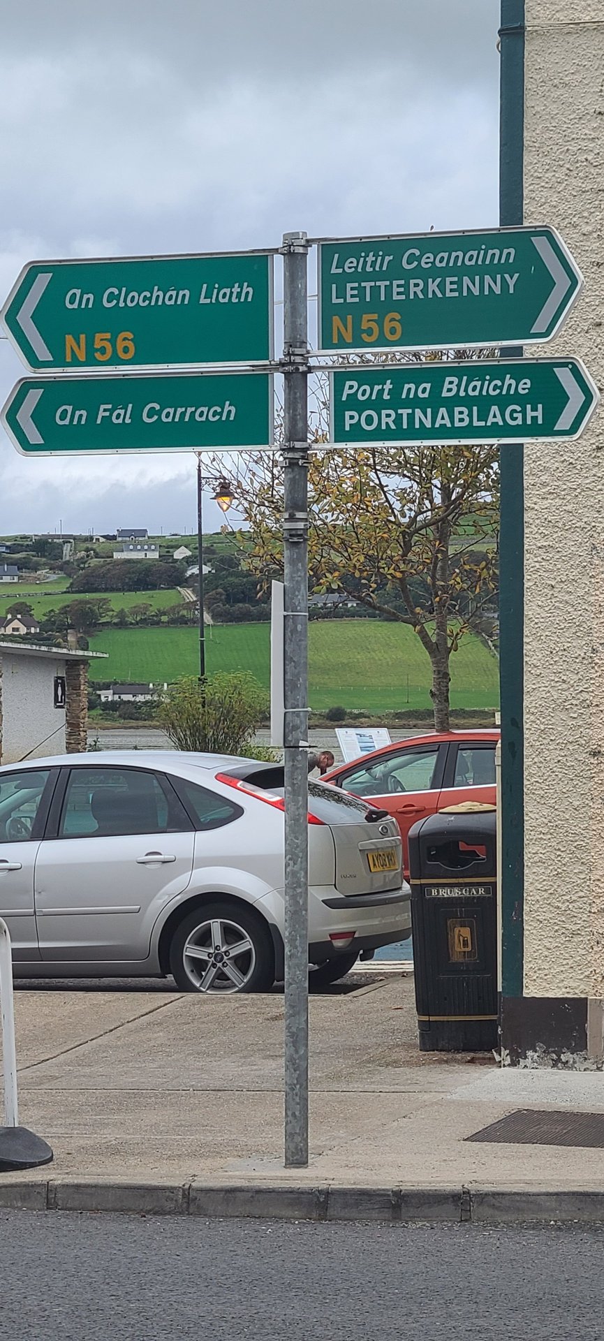
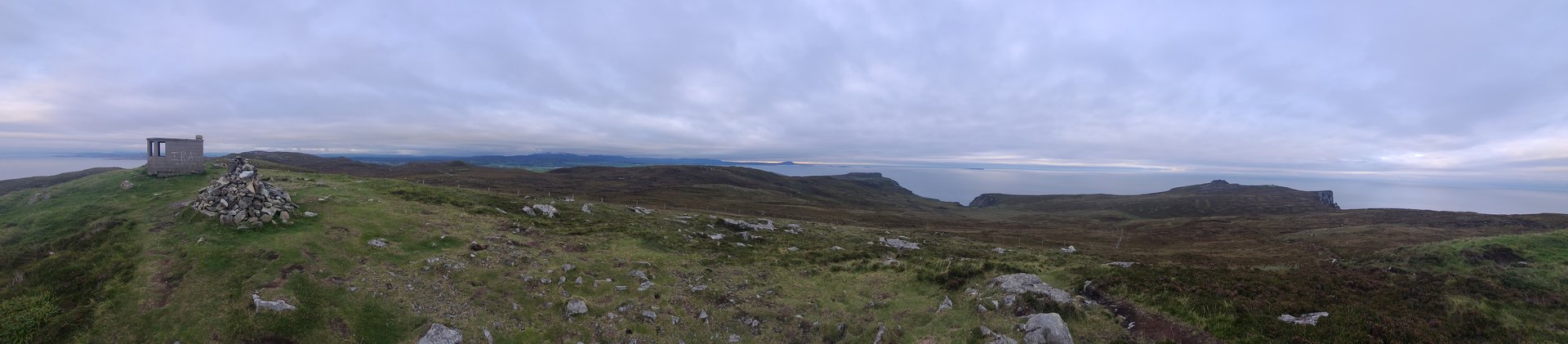
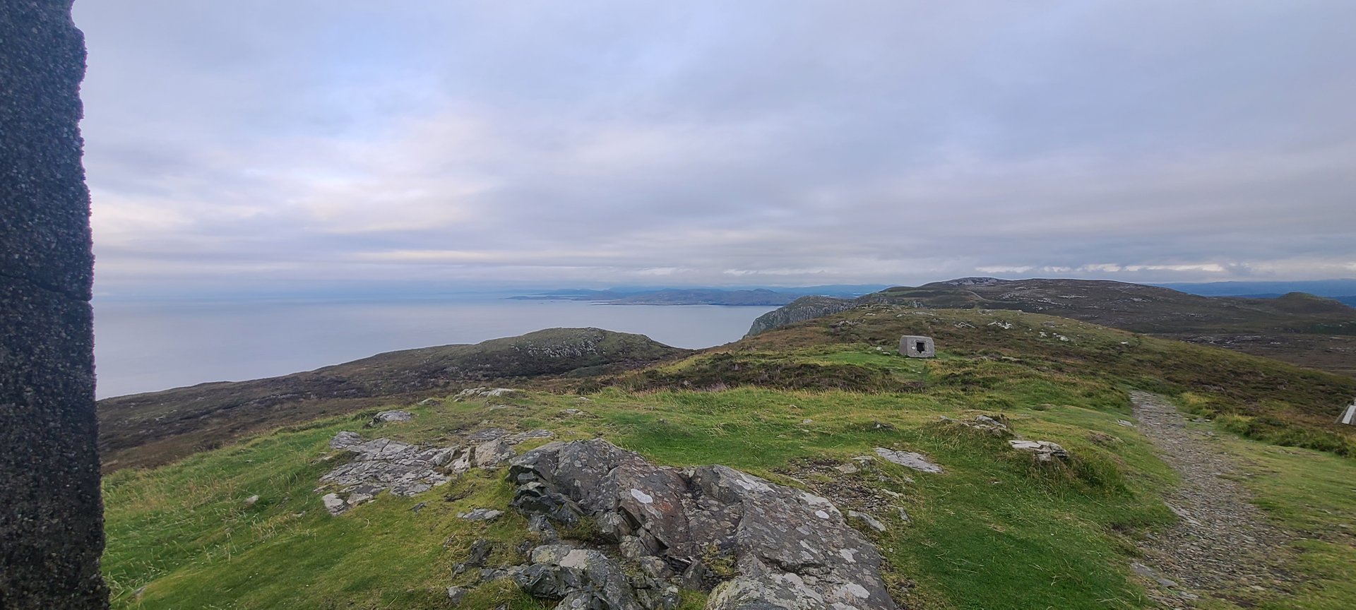
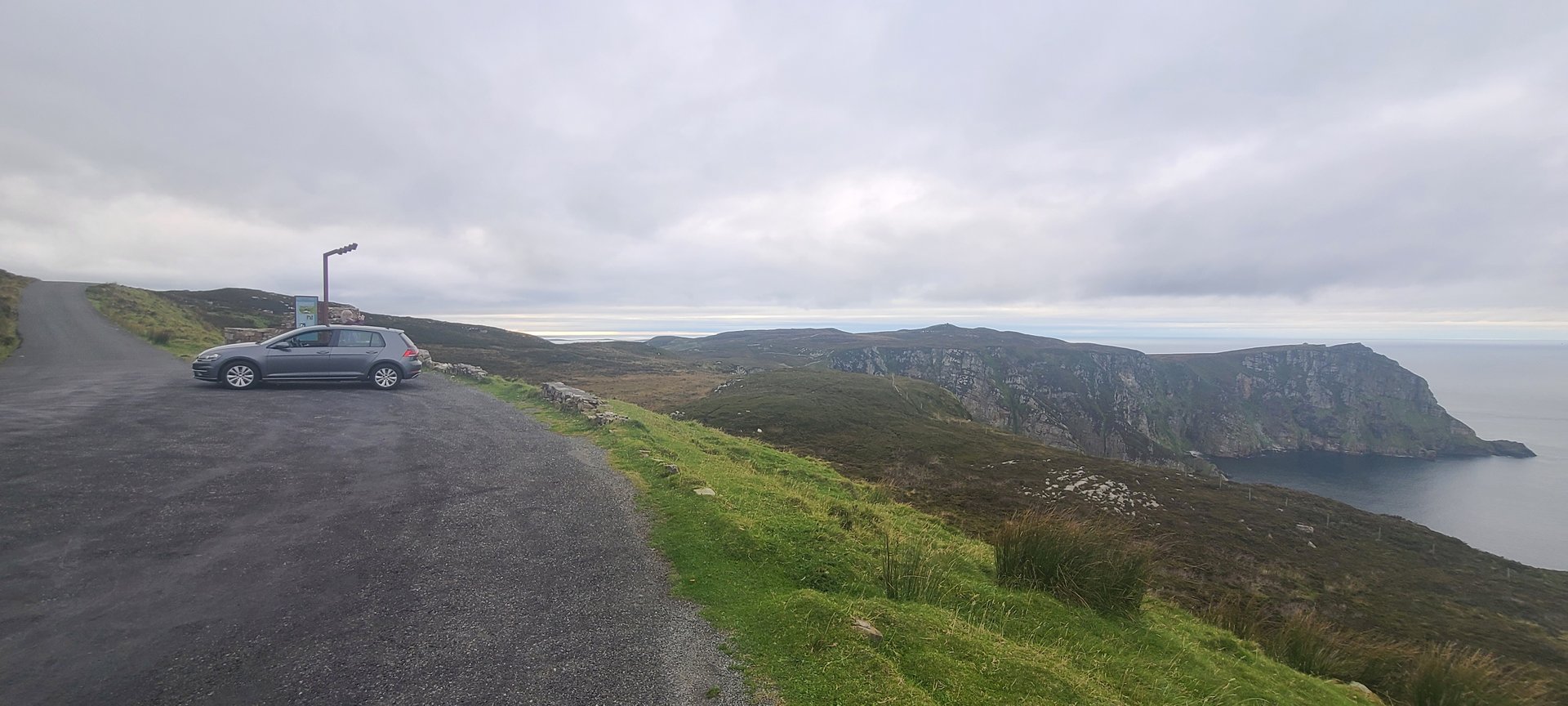
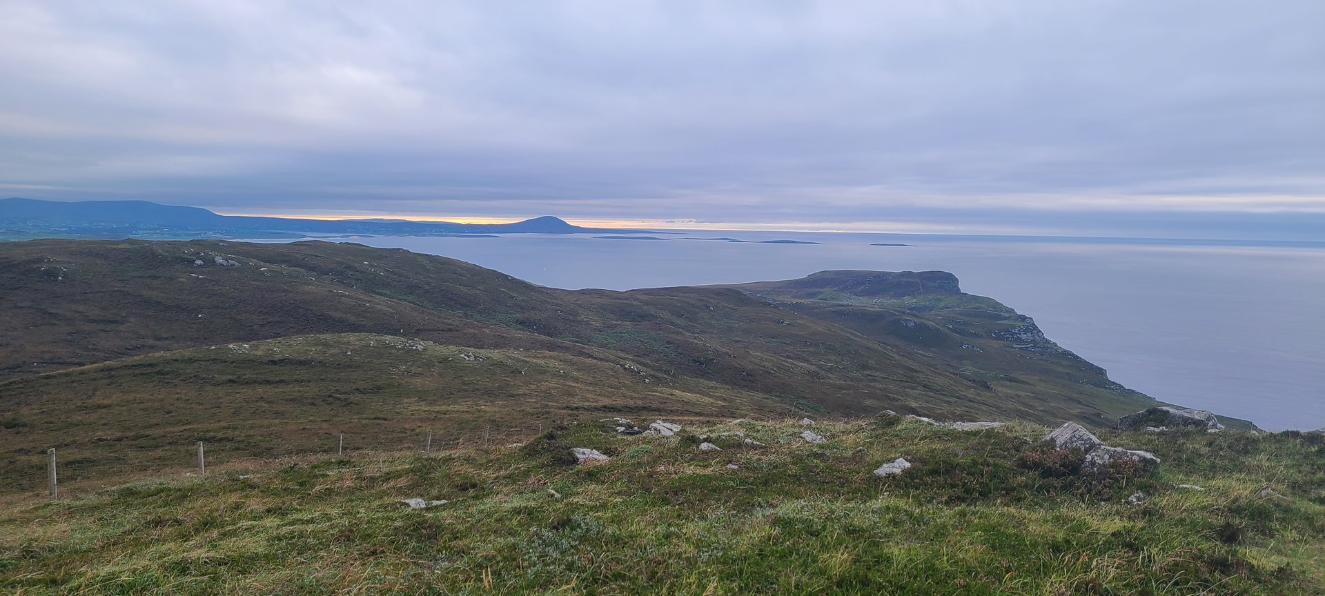
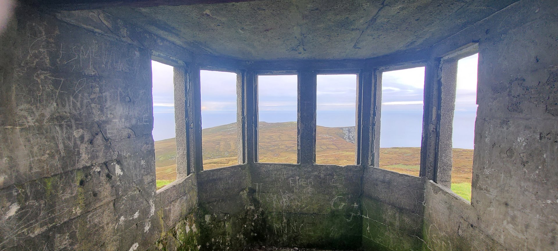
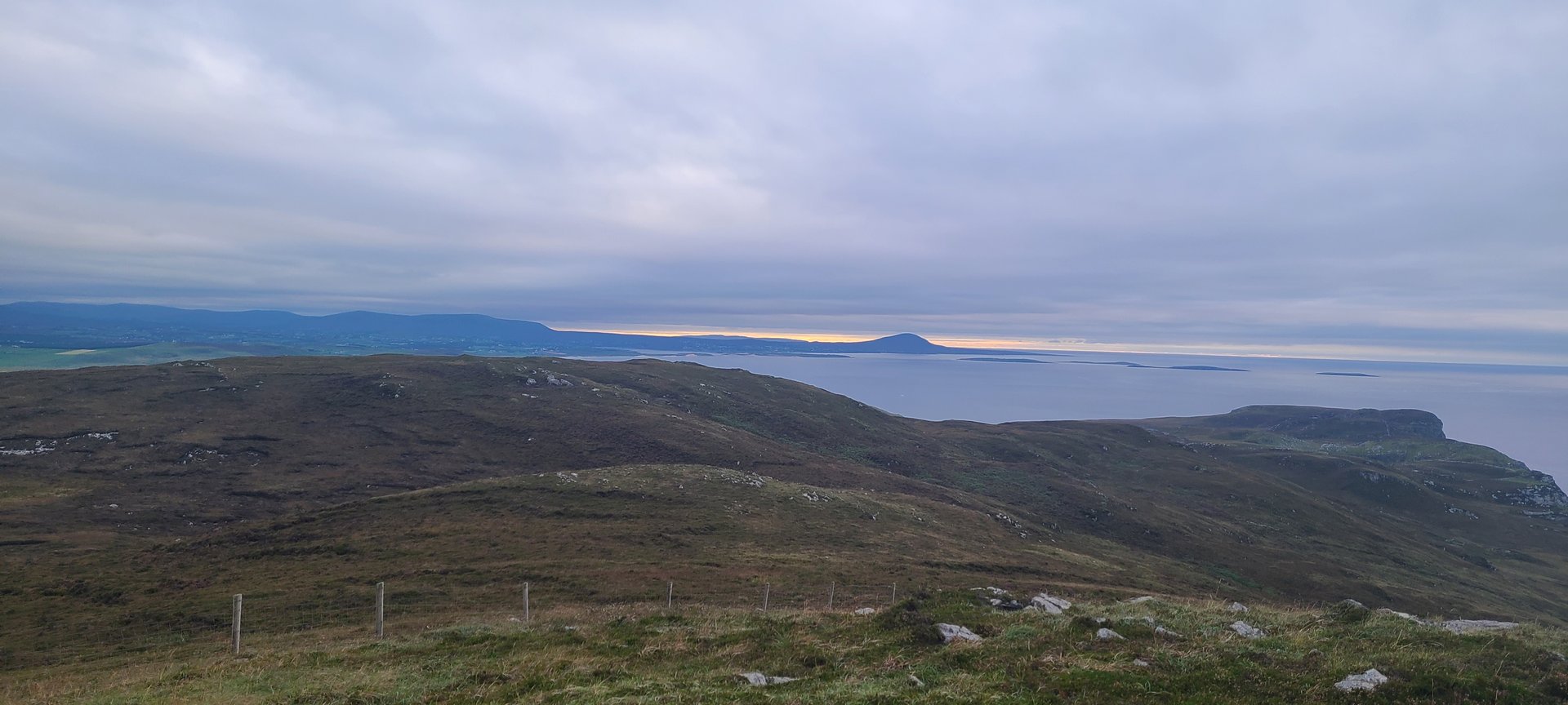
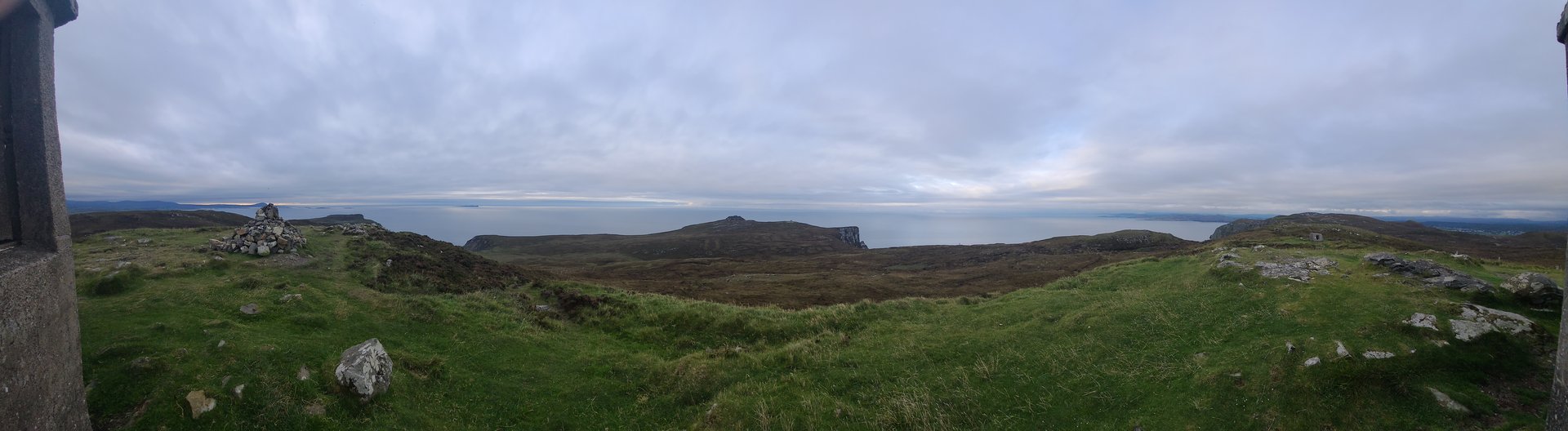
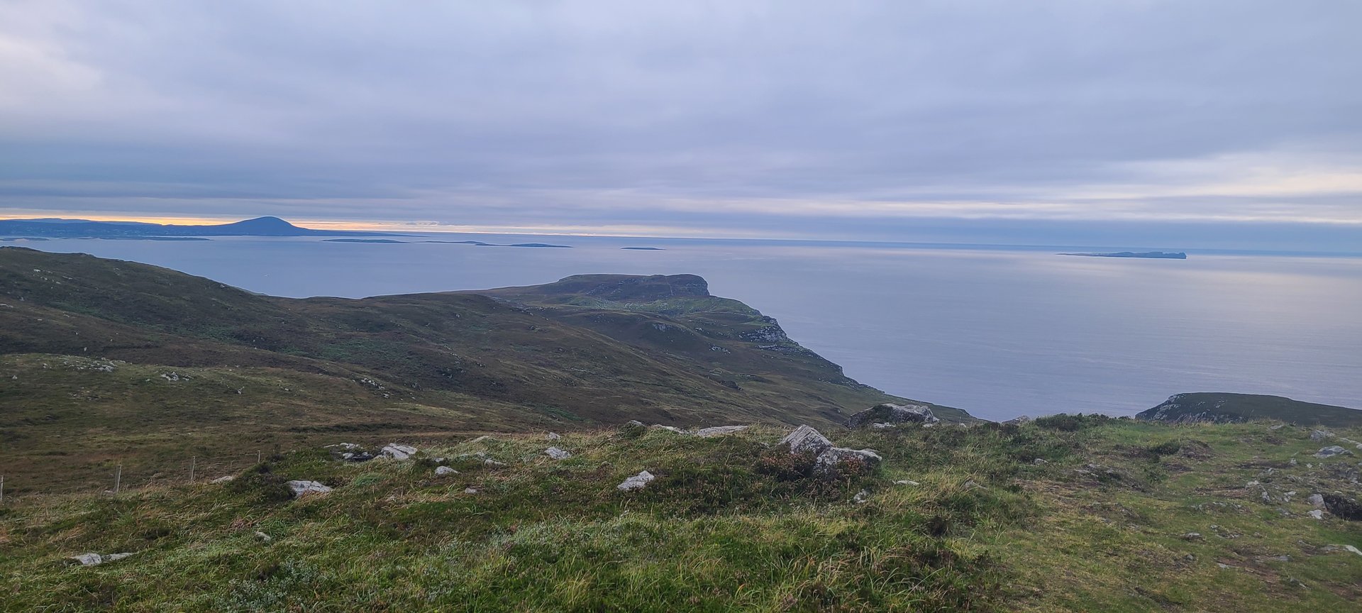
Day 2 journey of 84 km (52 miles) through Ards, County Donegal, Creeslough, County Donegal, Doe Castle, County Donegal and other locations. The route featured significant climbing with 1744 meters of elevation gain, traversing mountainous terrain. 19 photos captured along the route.
Sunday, September 11, 2022
Ards, County Donegal
→
Creeslough, County Donegal
→
Doe Castle, County Donegal
→
Termon, County Donegal
→
Kilmacrenan, County Donegal
→
Loughkeel, County Donegal
→
Millford, County Donegal
→
Cranford, County Donegal
→
Carrigart, County Donegal
→
Rosguill, County Donegal
Day Statistics 84km • 207 photos
Distance
84.4 km
Duration
3.2 hrs
Elevation Gain
1743 m
Photos
19
🗺️ Route Map
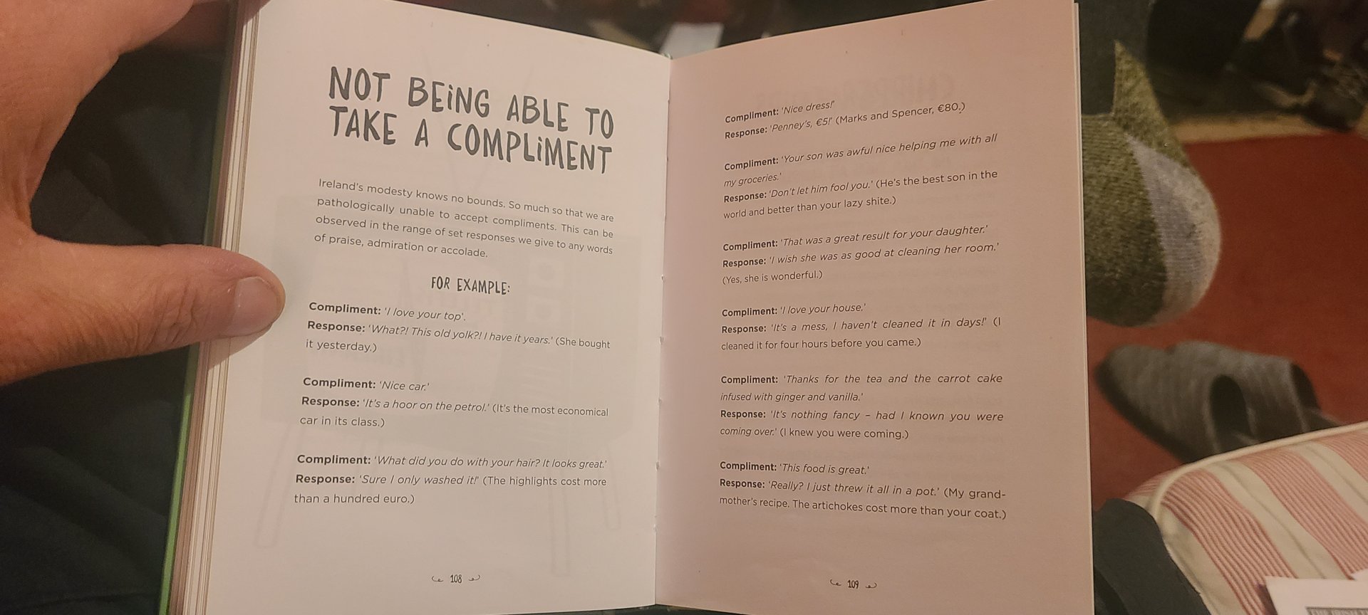
📸 Photos (16 of 17)
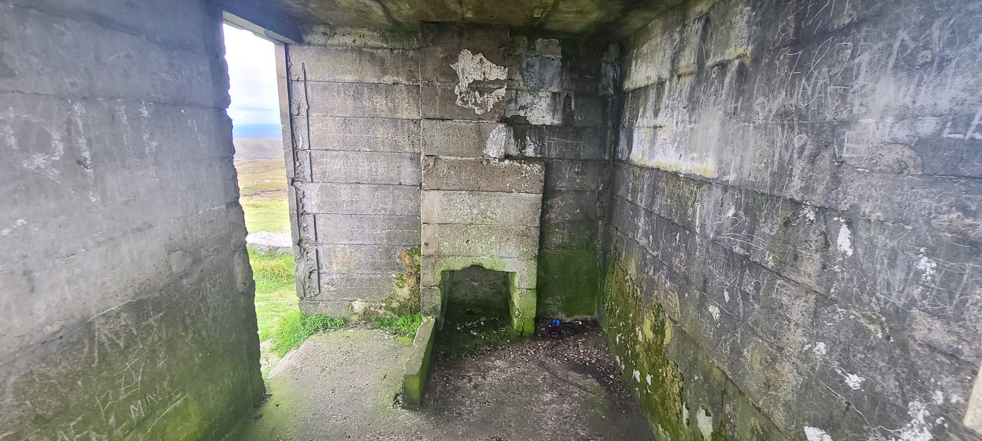
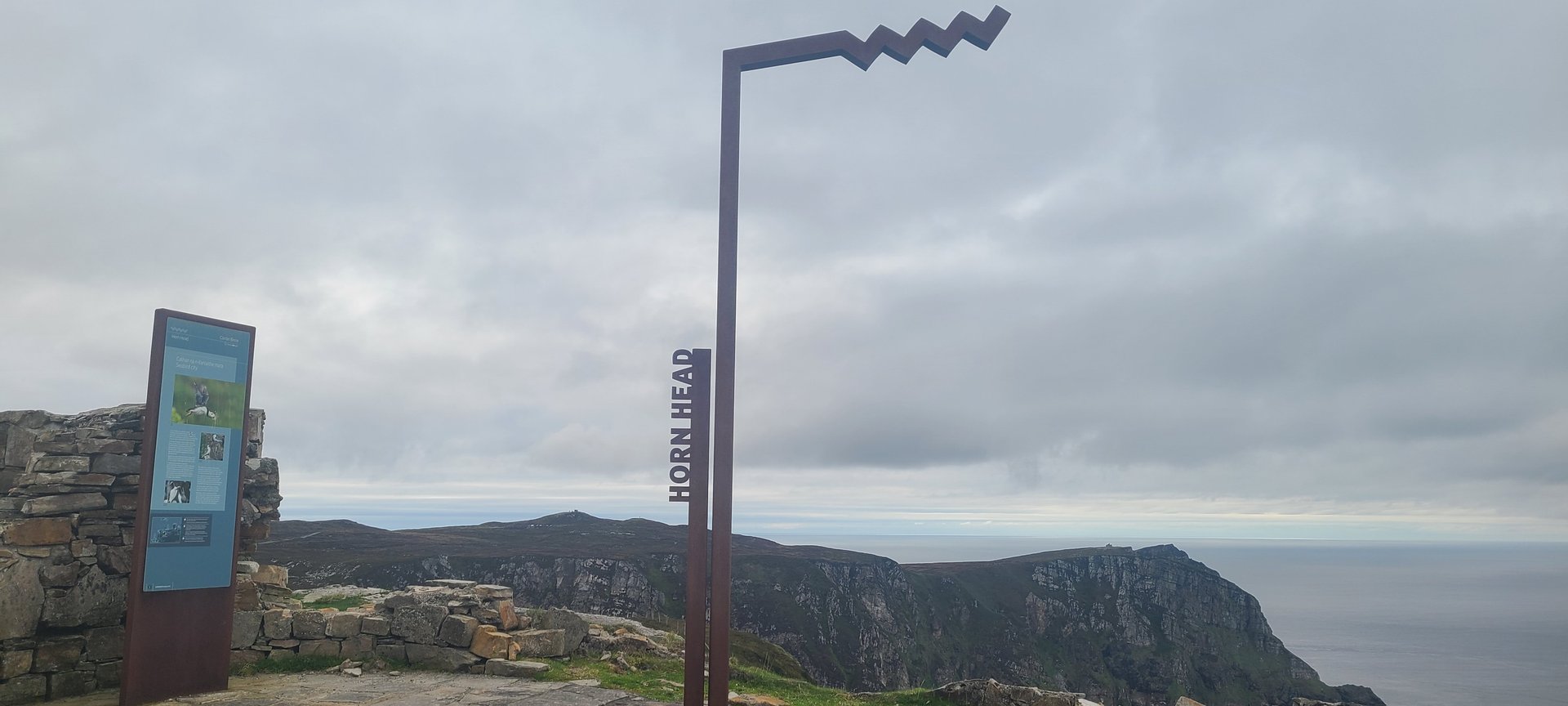
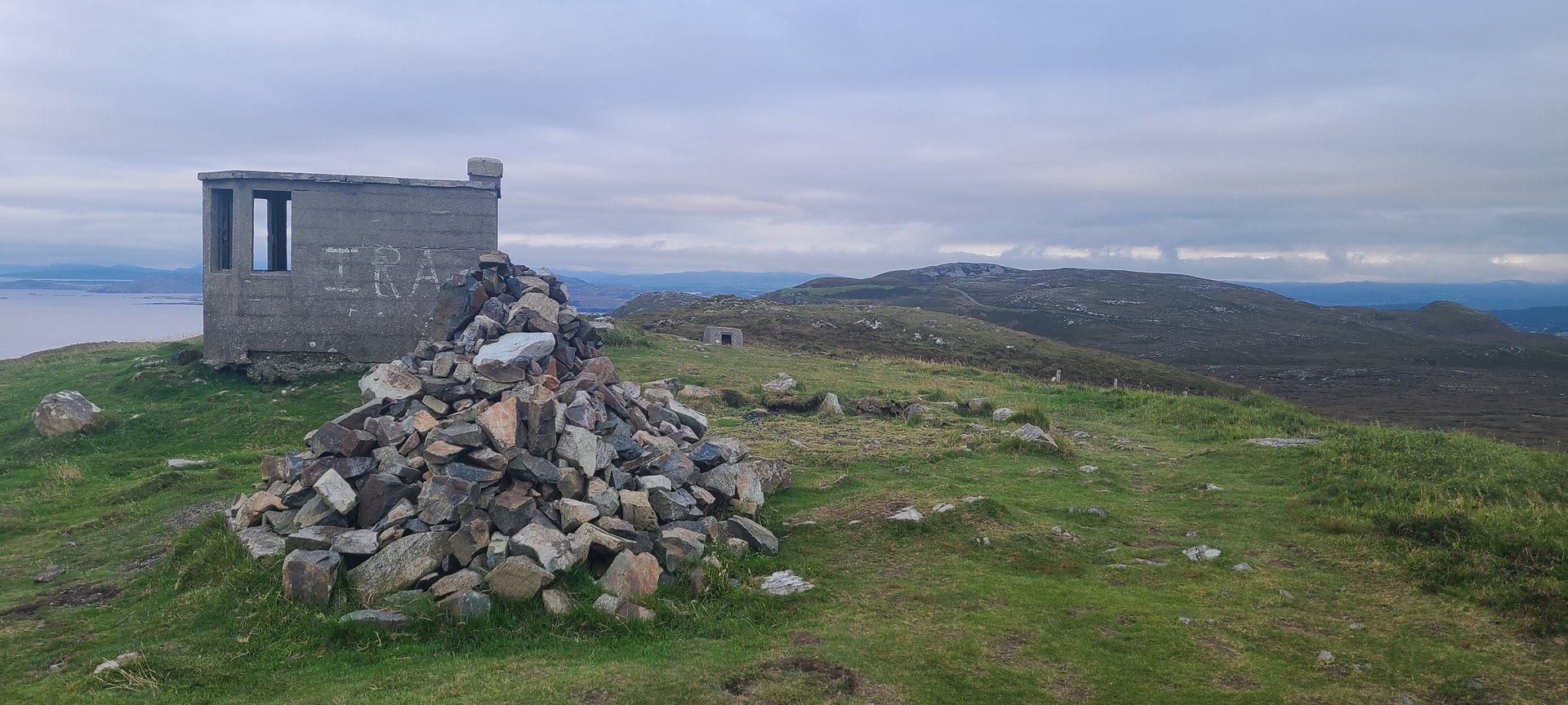
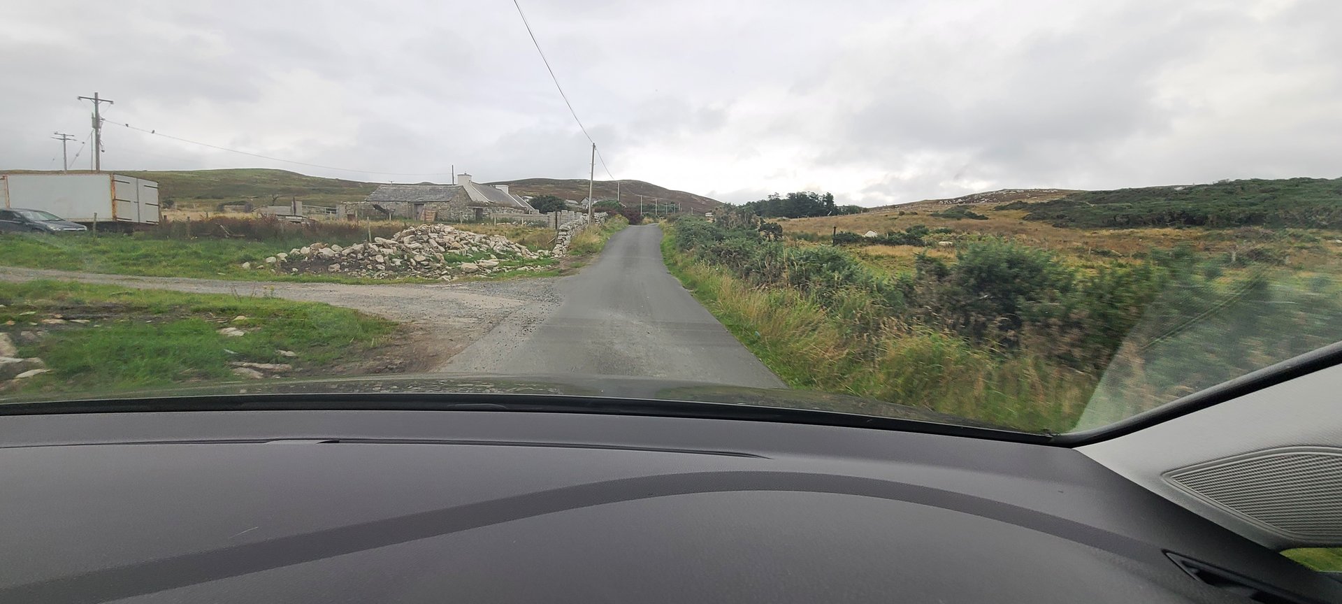
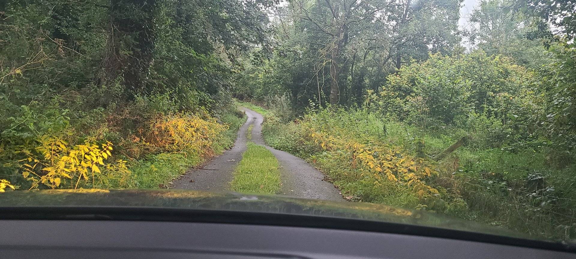
Refresh page to see different photos
Day 3
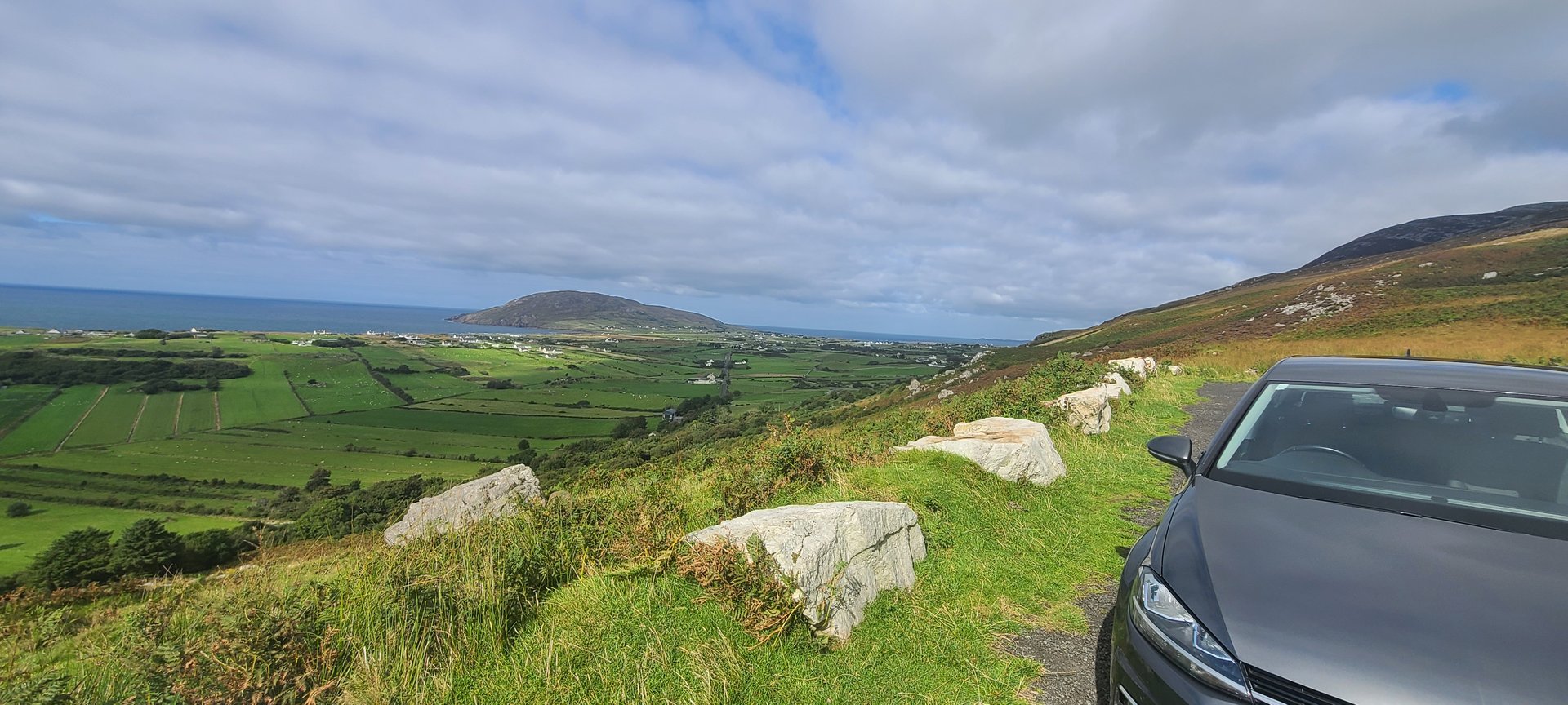
Day 3 journey of 313 km (194 miles) through Rosguill, County Donegal, Carrickart, County Donegal, Cranford, County Donegal and other locations. The route featured significant climbing with 4835 meters of elevation gain, traversing mountainous terrain. 52 photos captured throughout the day.
Monday, September 12, 2022
Rosguill, County Donegal
→
Carrickart, County Donegal
→
Cranford, County Donegal
→
Millford, County Donegal
→
Rathmelton, County Donegal
→
Glenalla, County Donegal
→
Rathmullan, County Donegal
→
Drumnaskea, County Donegal
→
Roughpark, County Donegal
→
Magheraboy, County Donegal
→
Manorcunningham, County Donegal
→
Newtown Cunningham, County Donegal
→
Burt, County Donegal
→
Fahan, County Donegal
→
Inch Island, County Donegal
→
Desertegny, County Donegal
→
Dunaff, County Donegal
→
Leenan Fort, County Donegal
→
Clonmany, County Donegal
→
Straid, County Donegal
→
Mintiaghs, County Donegal
→
Ballyliffin, County Donegal
→
Carndonagh, County Donegal
→
Malin, County Donegal
→
Ardmalin, County Donegal
→
Hell's Hole
→
Culdaff, County Donegal
→
Glentogher, County Donegal
→
Whitecastle, County Donegal
→
Kilderry, County Donegal
→
Birdstown, County Donegal
→
Ballyboe Glencar, County Donegal
→
Ballaghderg, County Donegal
→
Kilmacrennan, County Donegal
→
Kilmacrenan, County Donegal
→
Loughkeel, County Donegal
→
Glen, County Donegal
Day Statistics 313km • 207 photos
Distance
312.9 km
Duration
10.5 hrs
Elevation Gain
4834 m
Photos
52
🗺️ Route Map
📸 Photos (16 of 48)
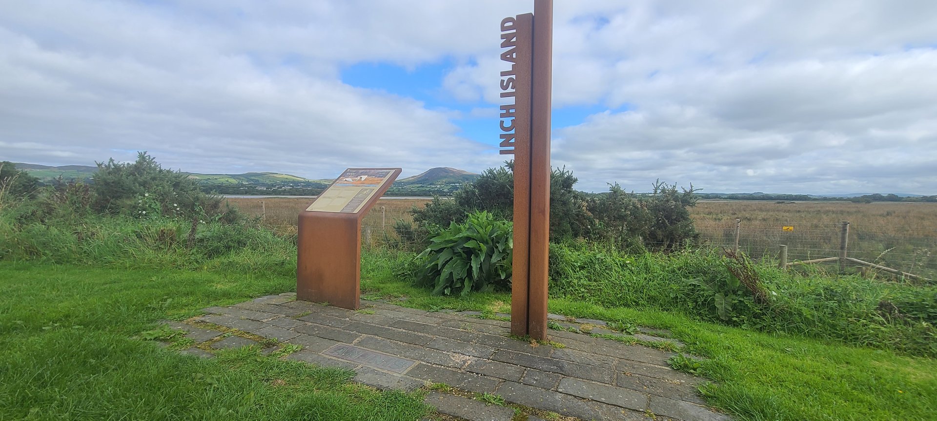
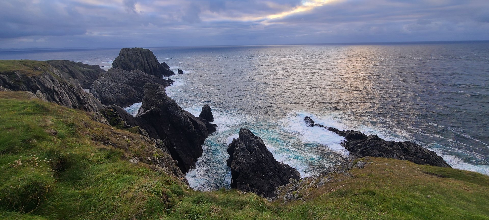
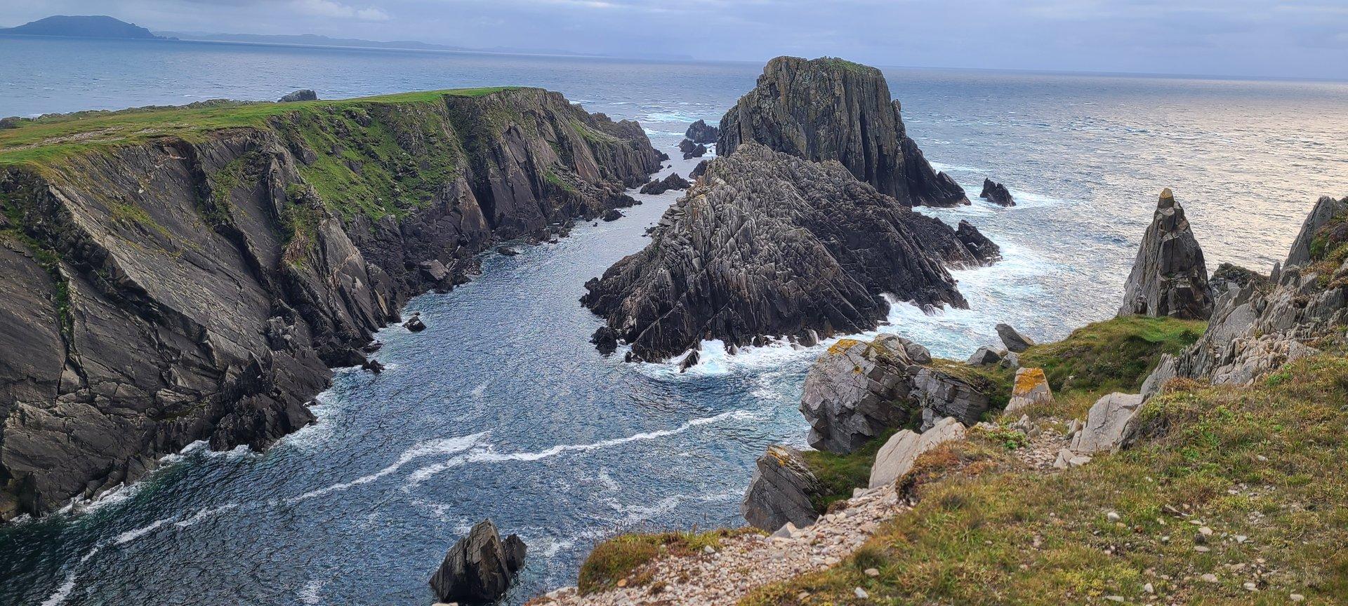
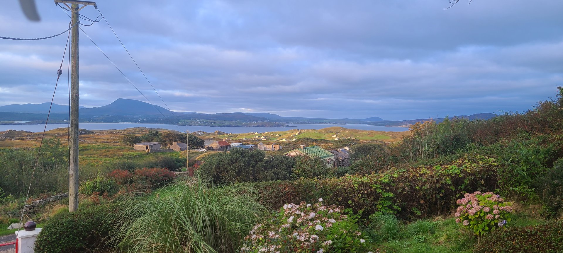
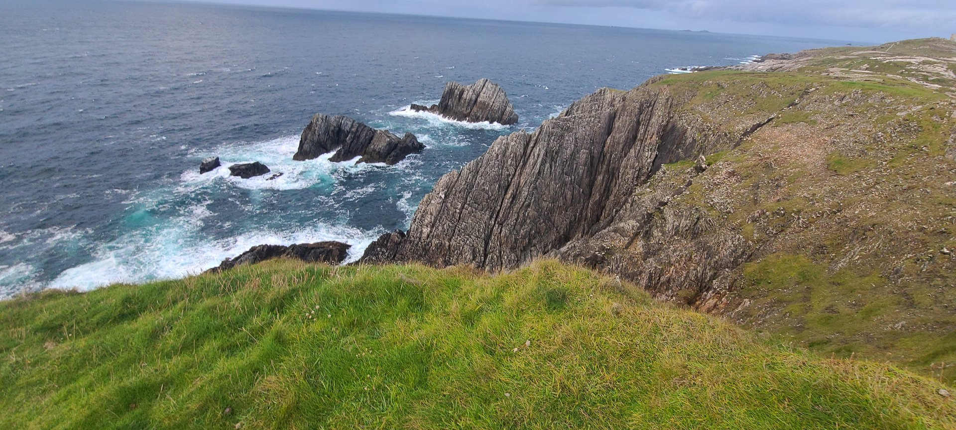
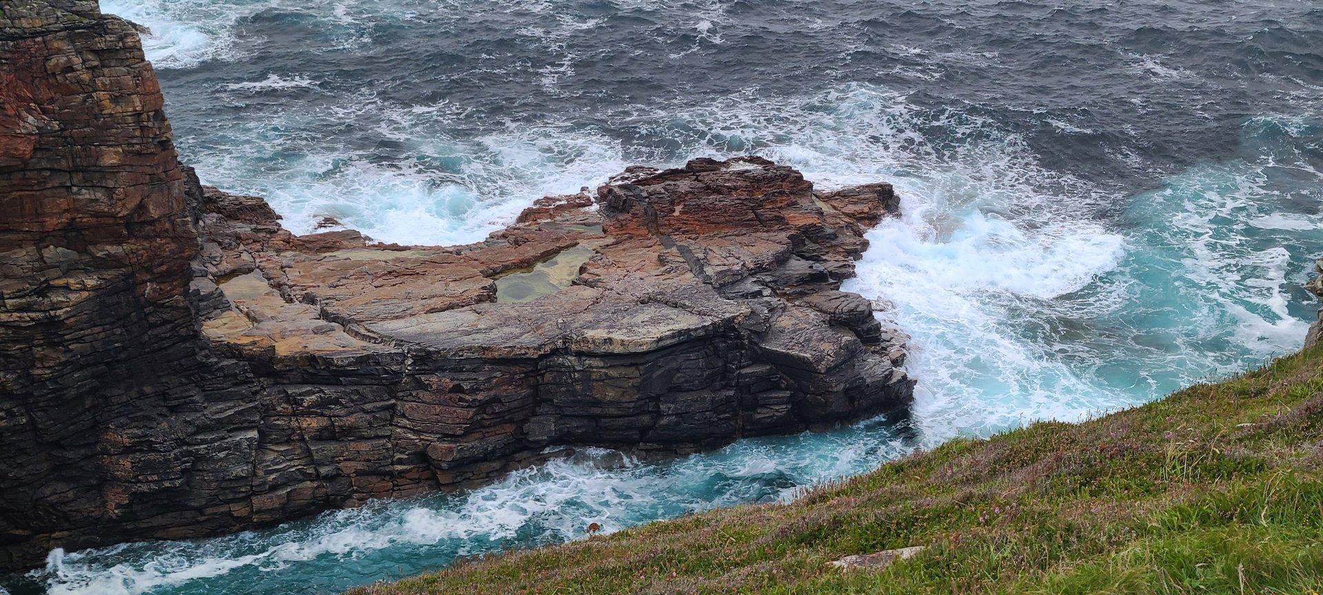
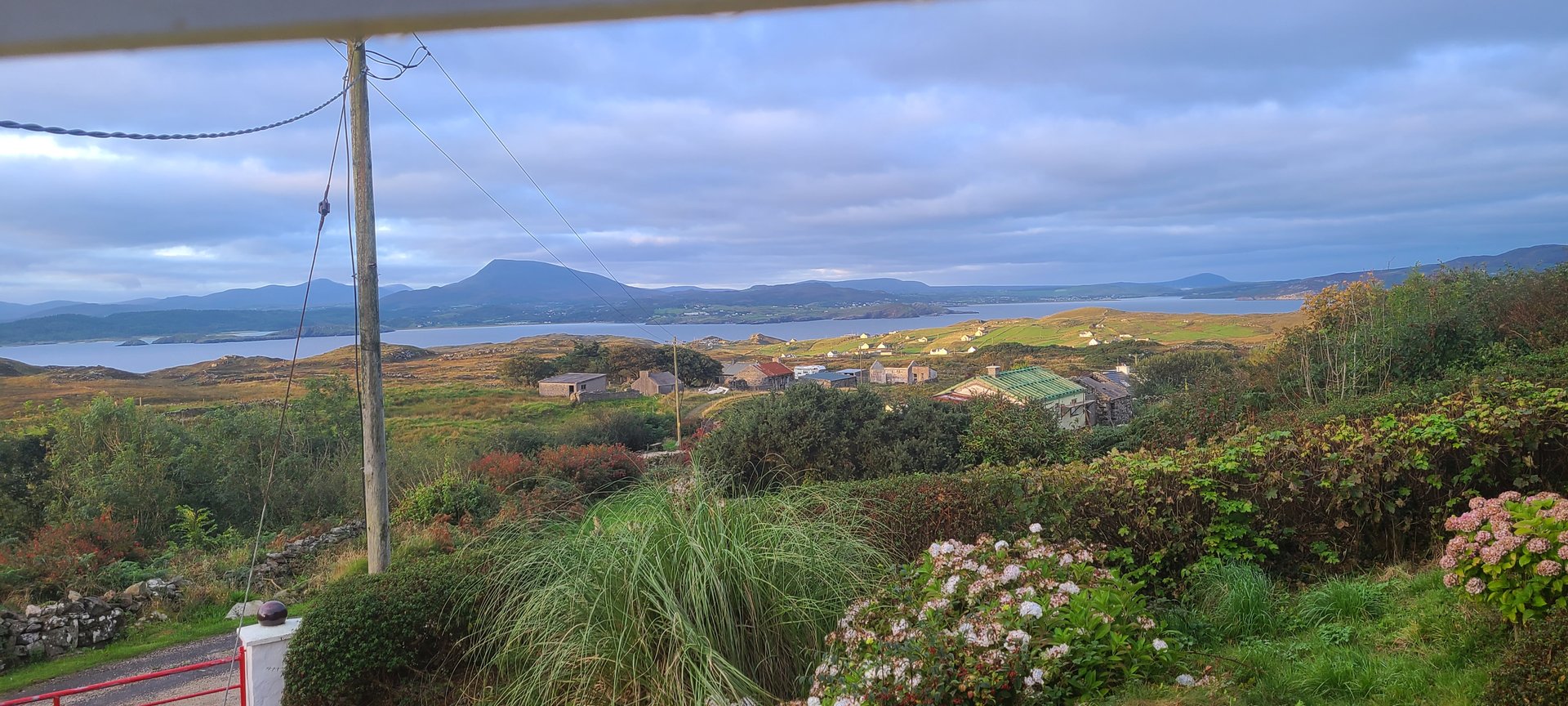
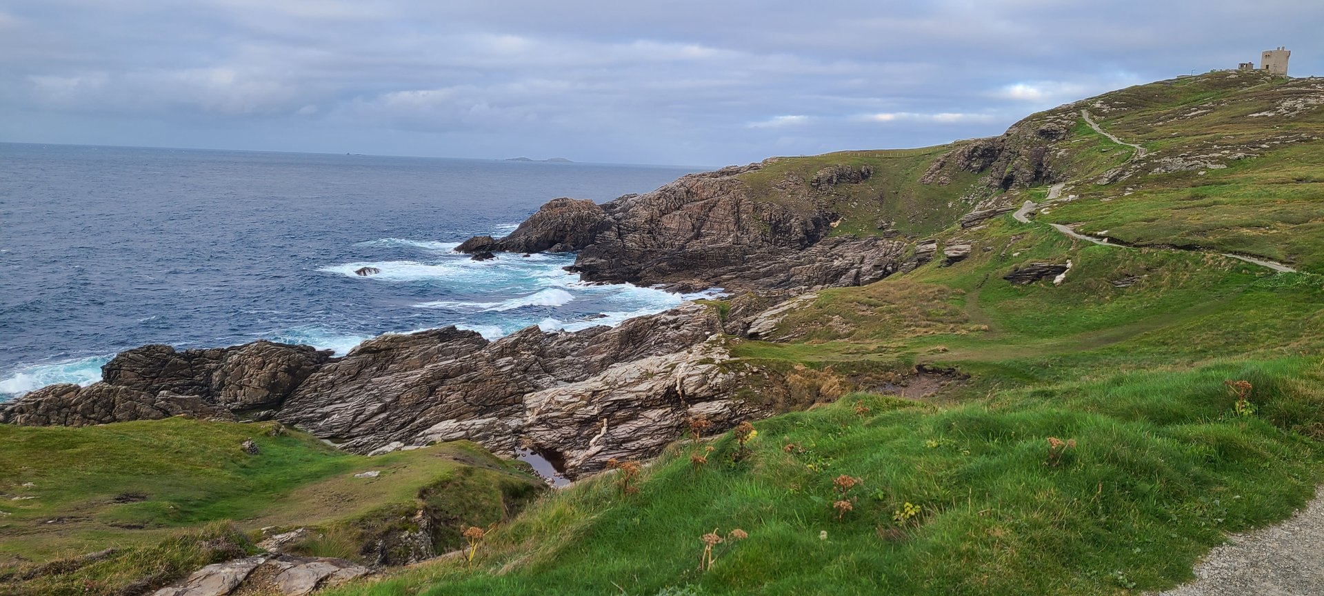
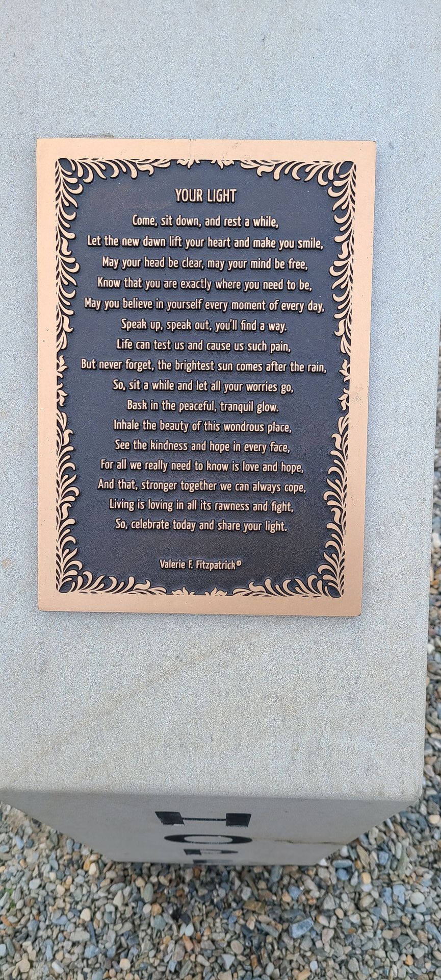
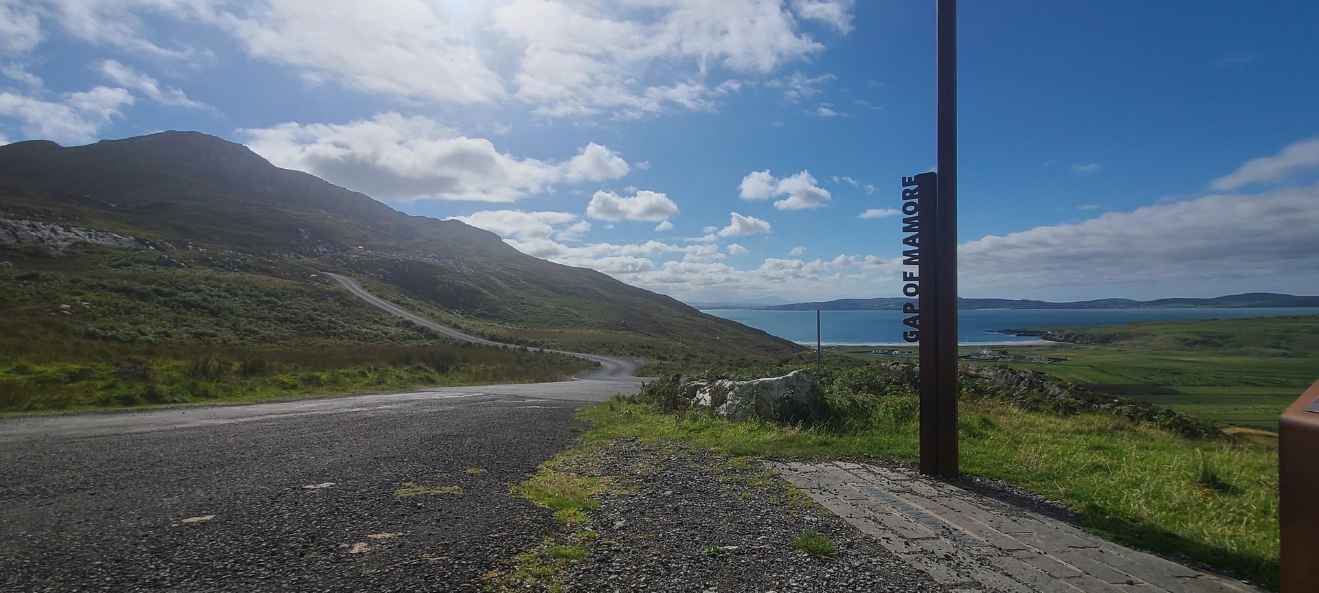
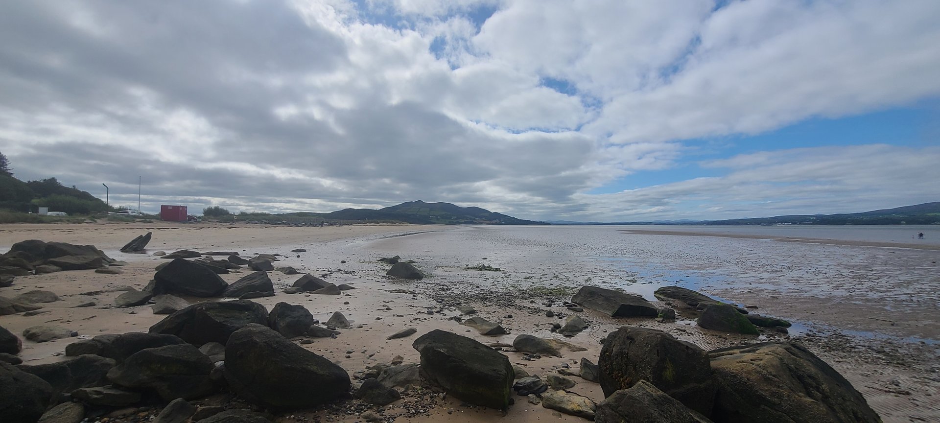
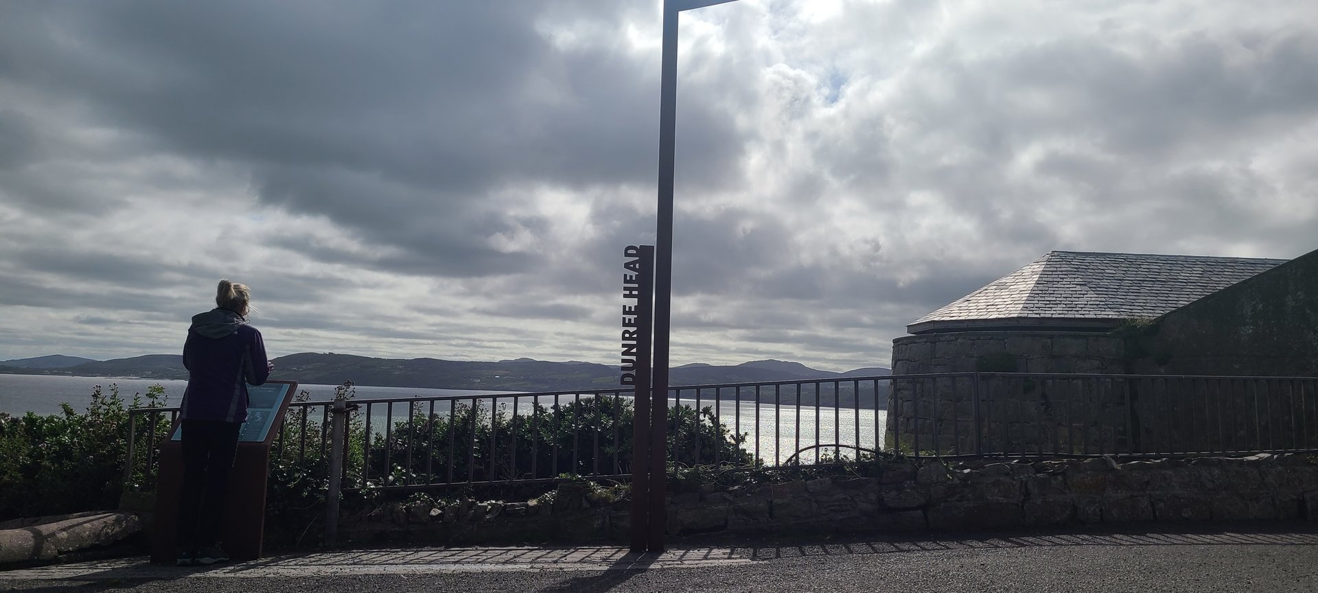
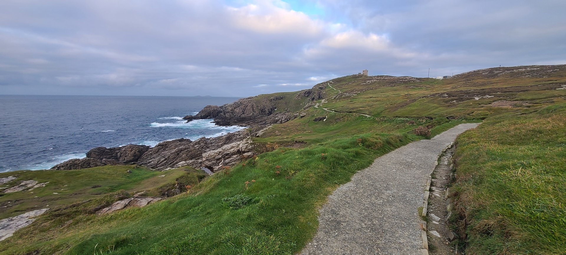
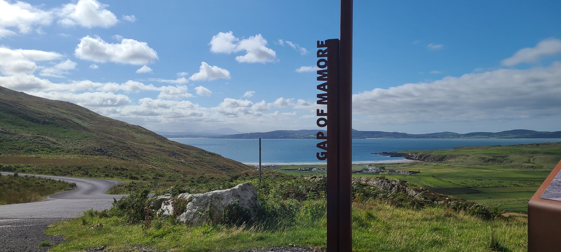
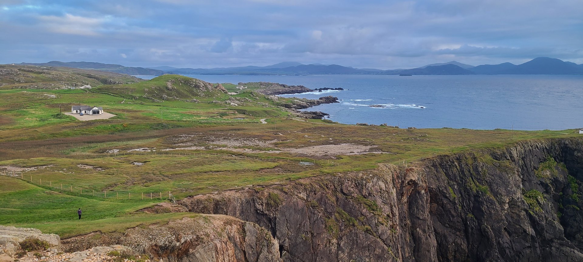
Refresh page to see different photos
Day 4
Day 4 journey of 141 km (87 miles) through Rosguill, County Donegal, Carrickart, County Donegal, Glen, County Donegal and other locations. The route featured significant climbing with 2744 meters of elevation gain, traversing mountainous terrain. 13 photos captured along the route.
Tuesday, September 13, 2022
Rosguill, County Donegal
→
Carrickart, County Donegal
→
Glen, County Donegal
→
Creeslough, County Donegal
→
Ards, County Donegal
→
Creenasmear, County Donegal
→
Cross Roads, County Donegal
→
Ray Upper, County Donegal
→
Killult, County Donegal
→
Gortahork, County Donegal
→
Magheraroarty, County Donegal
→
Meenaclady, County Donegal
→
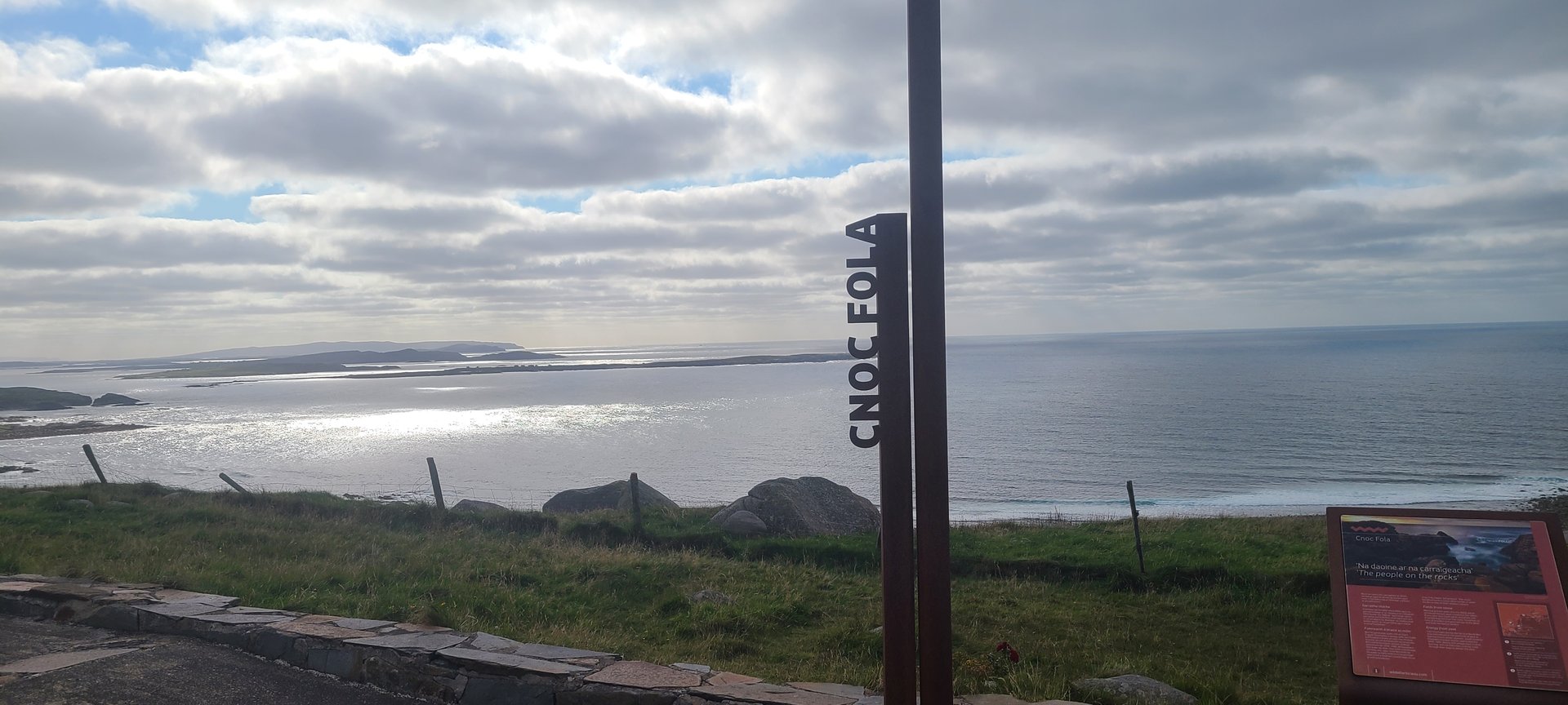
Knockfola, County Donegal
→
Brinlack, County Donegal
→
Doe Castle, County Donegal
Day Statistics 141km • 207 photos
Distance
140.8 km
Duration
7.6 hrs
Elevation Gain
2743 m
Photos
13
🗺️ Route Map
📸 Photos
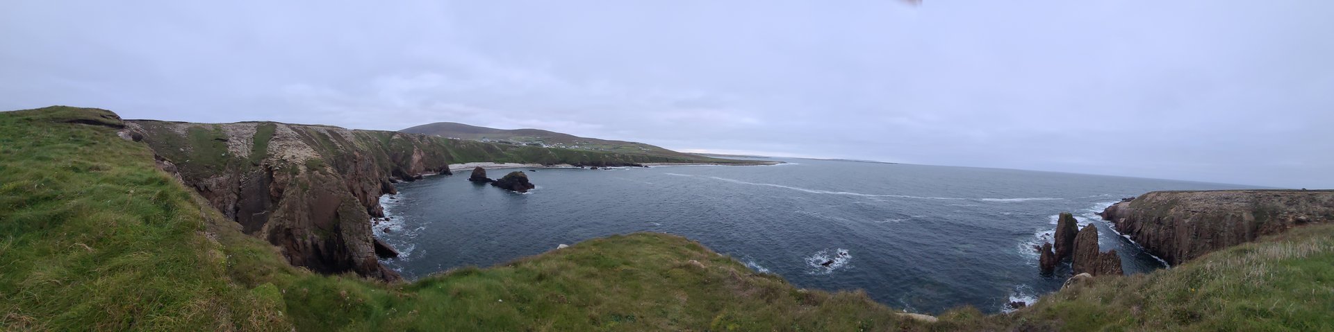
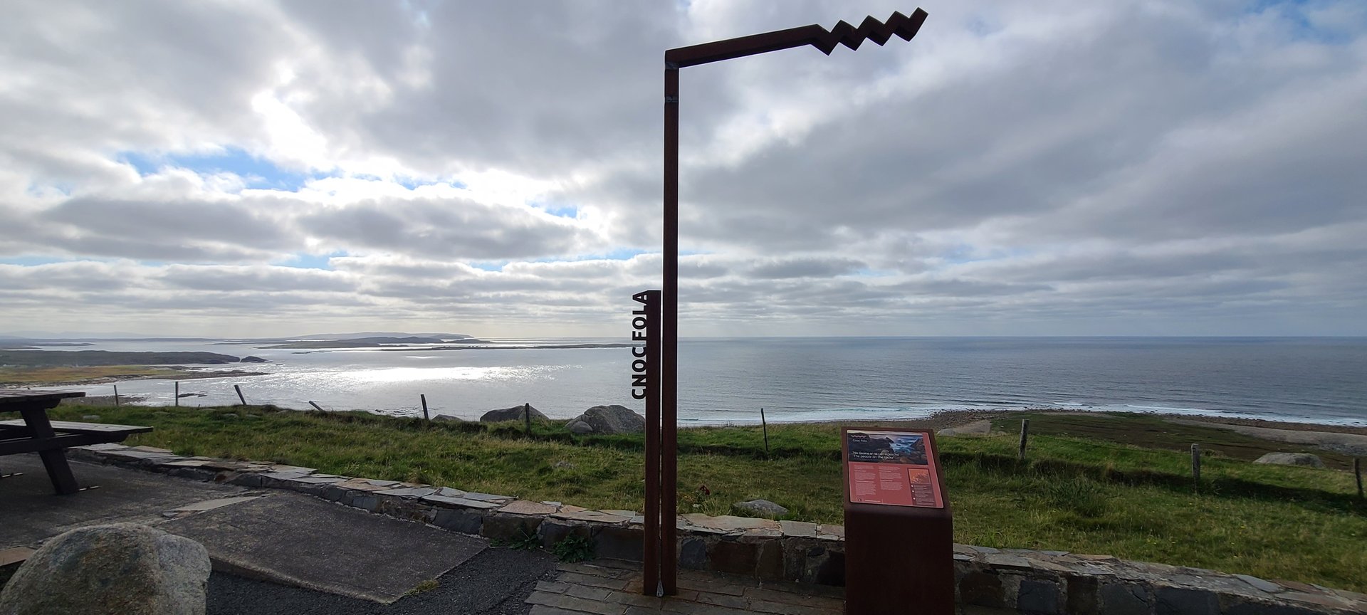
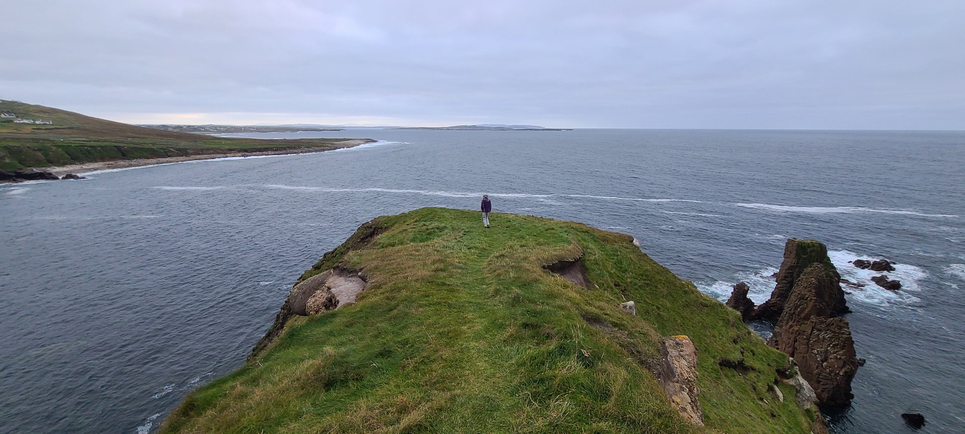
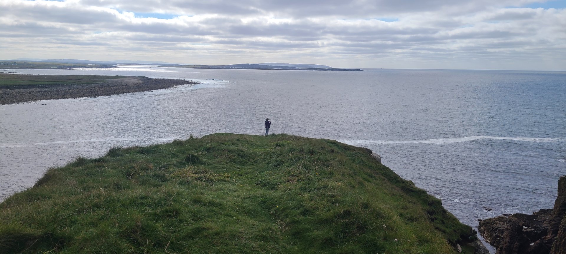
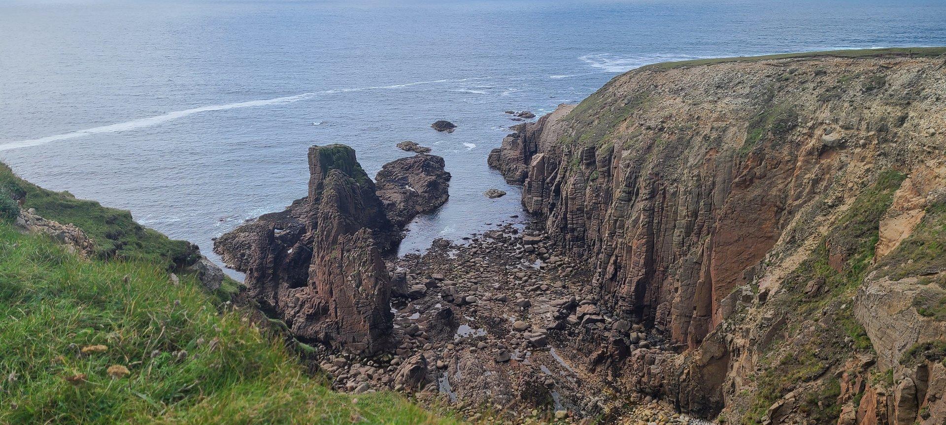
Day 5
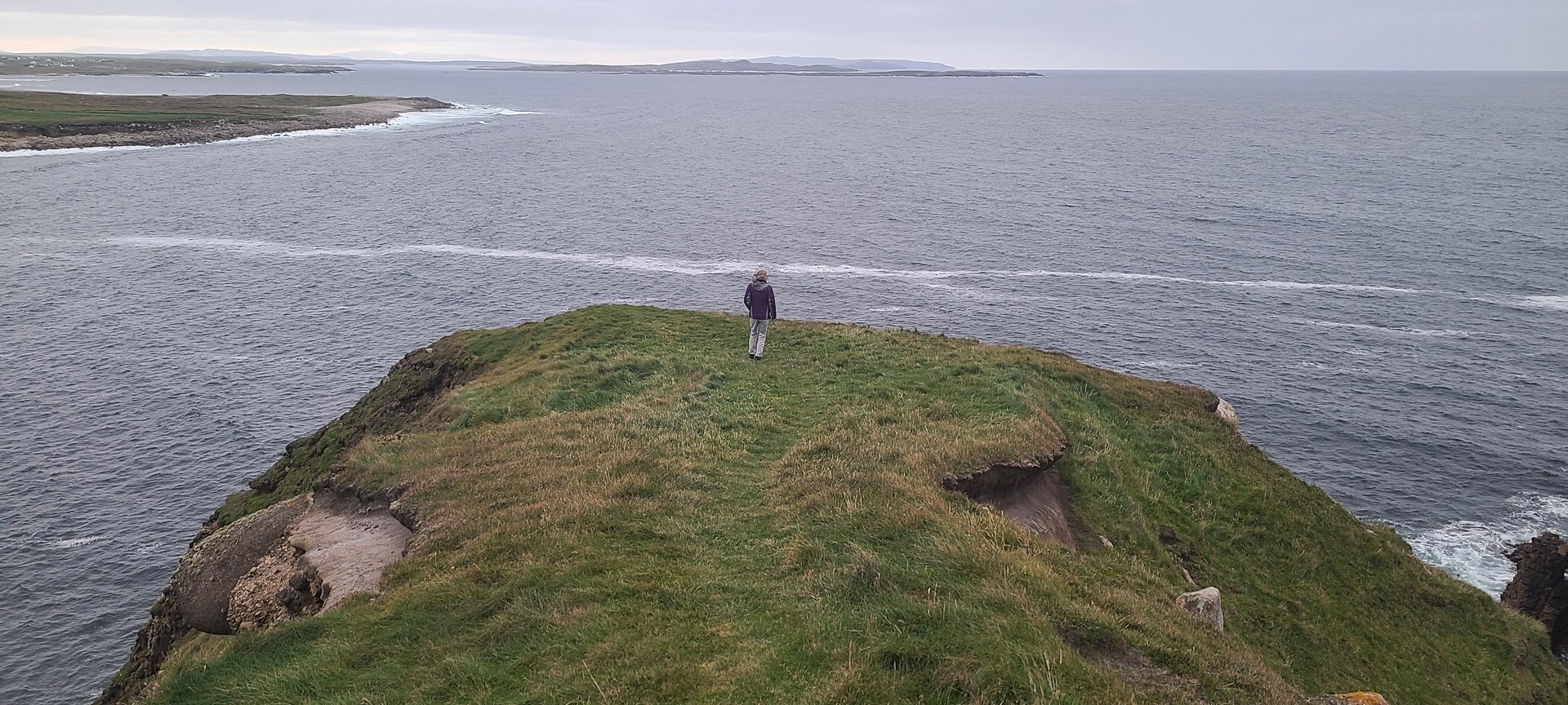
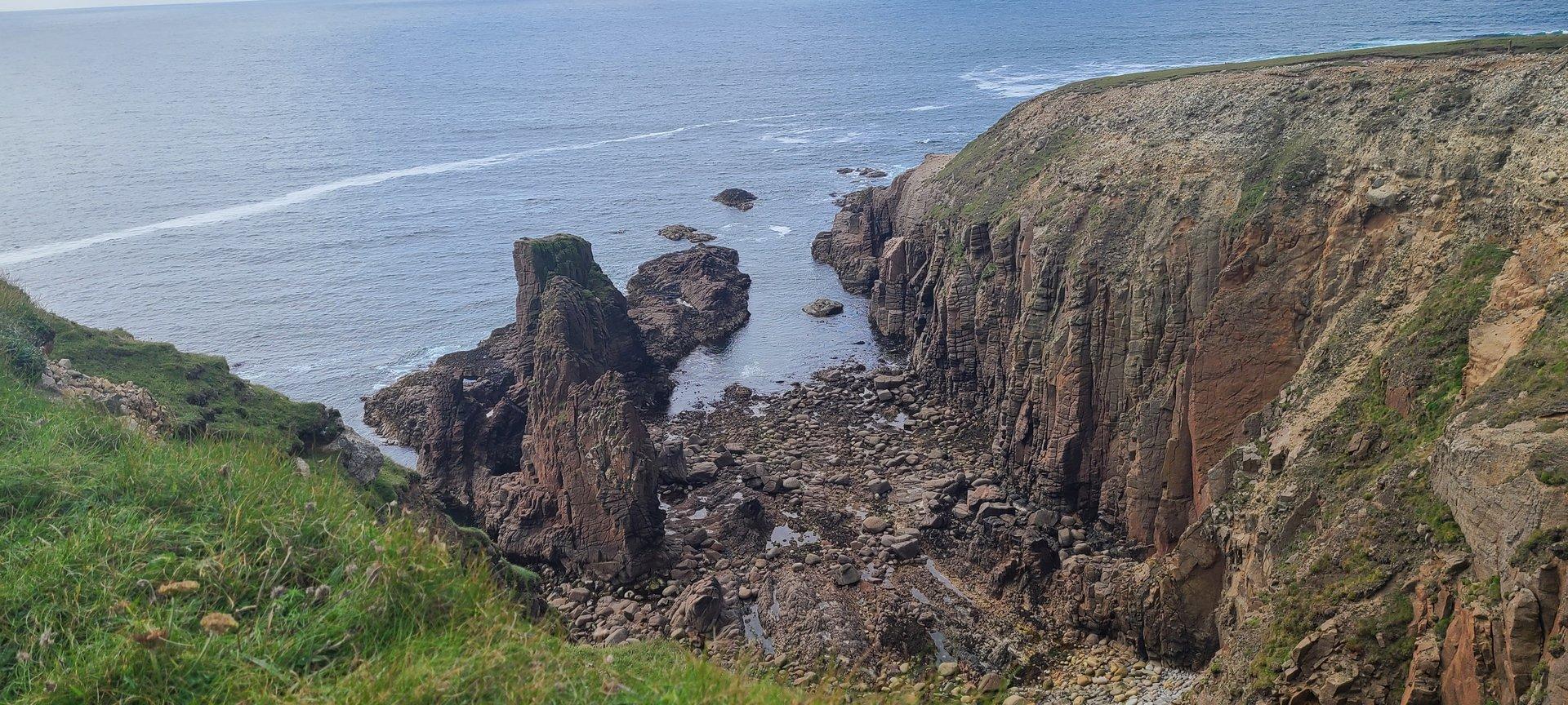
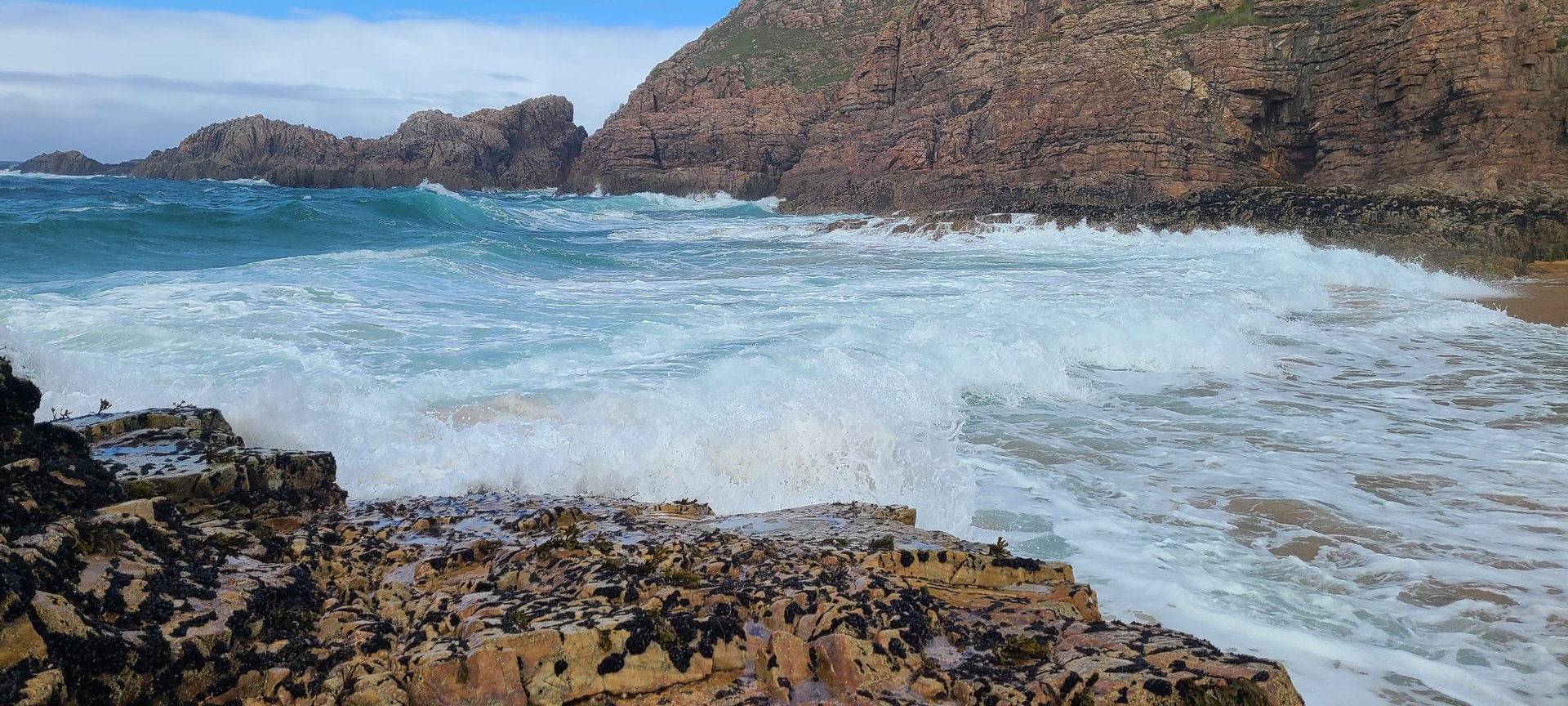
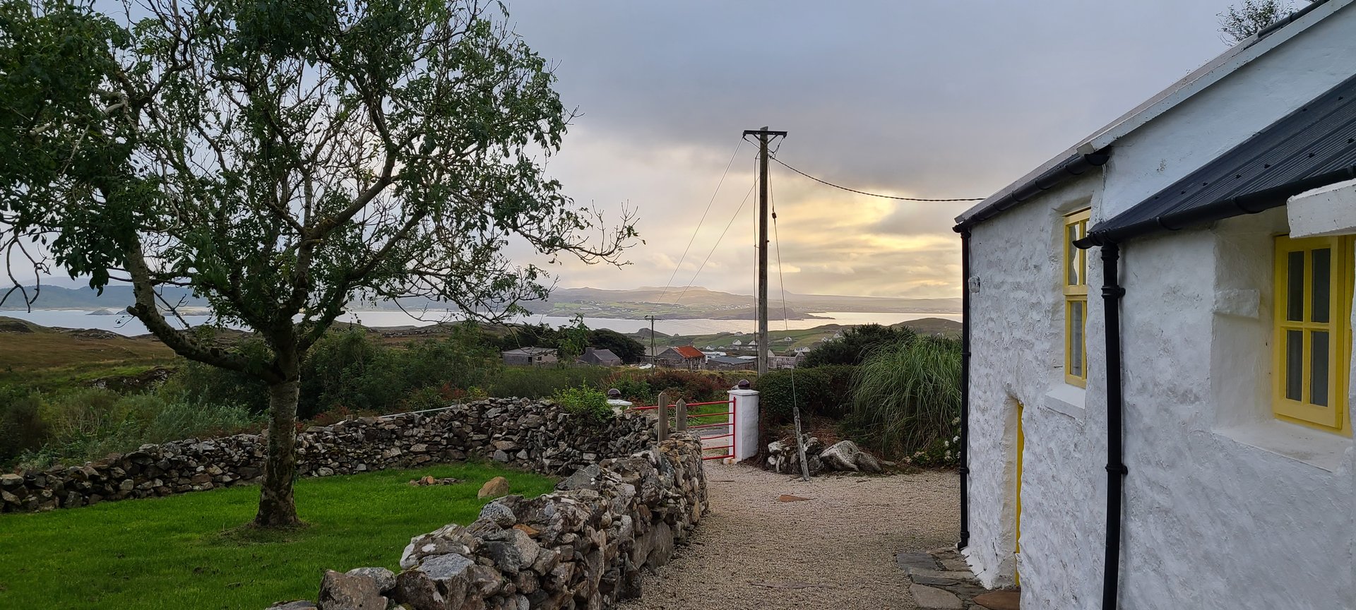
Day 5 journey of 18 km (11 miles) through Rosguill, County Donegal, Melmore Head, Singing Pub with 747 meters of elevation gain. Documented with 34 photos.
Wednesday, September 14, 2022
Rosguill, County Donegal
→
Melmore Head
→
Singing Pub
Day Statistics 18km • 207 photos
Distance
17.8 km
Duration
4.4 hrs
Elevation Gain
747 m
Photos
34
🗺️ Route Map
📸 Photos (16 of 26)
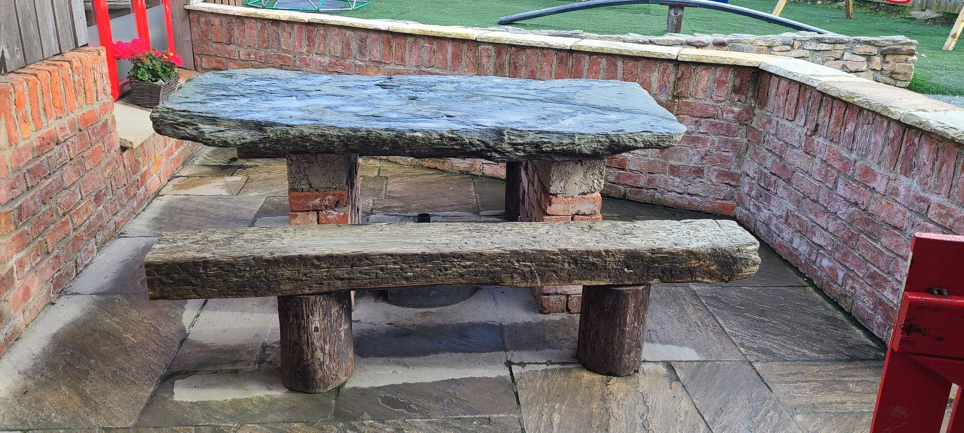
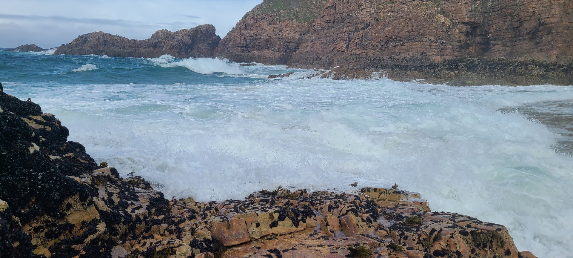
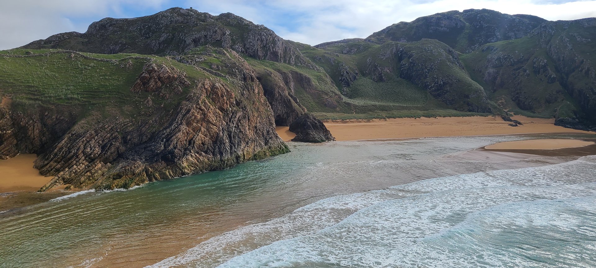
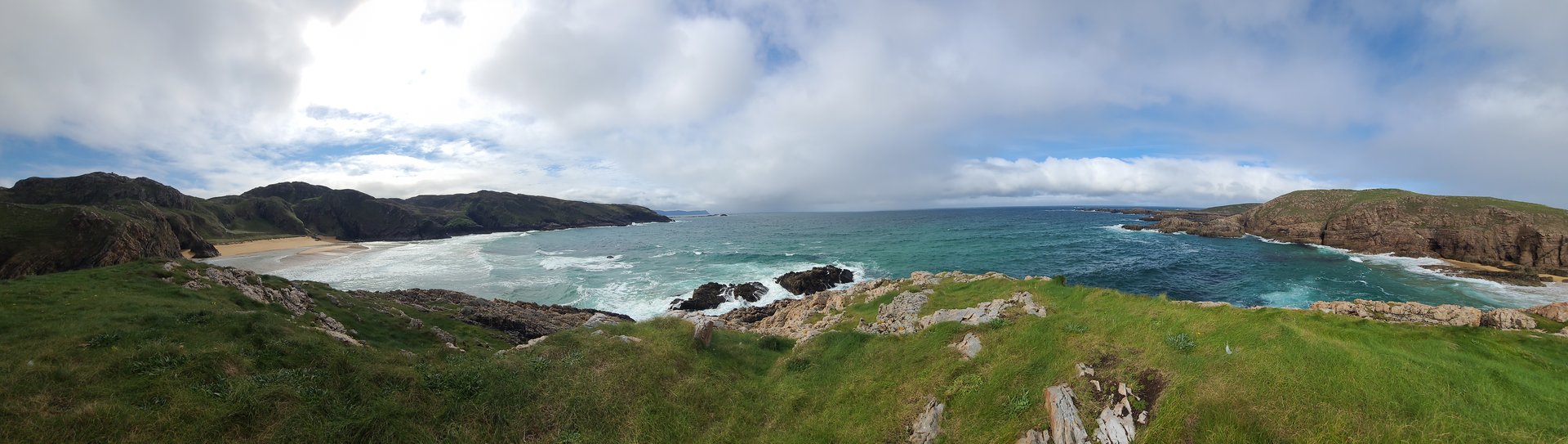
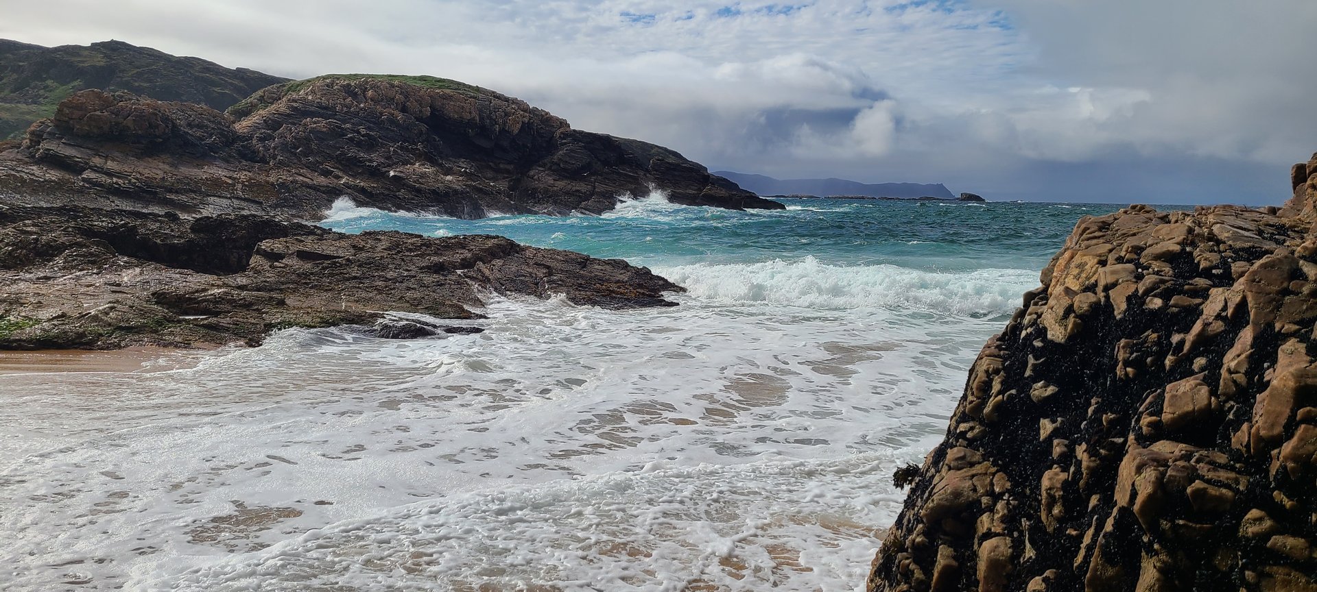
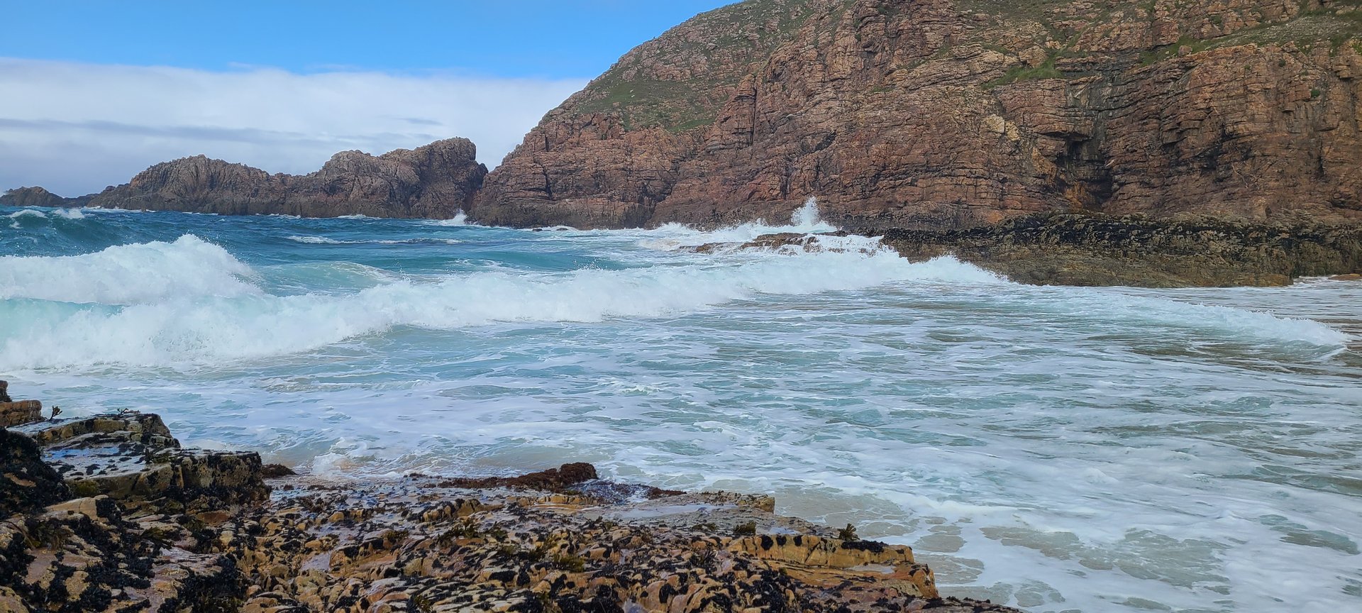
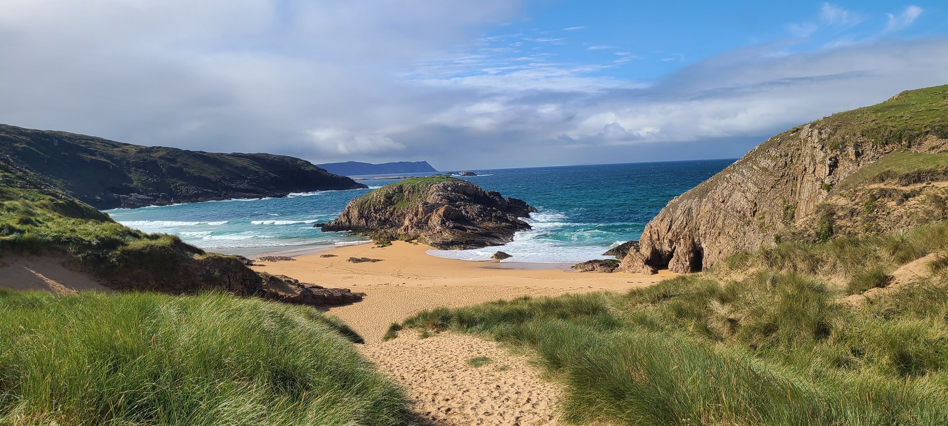
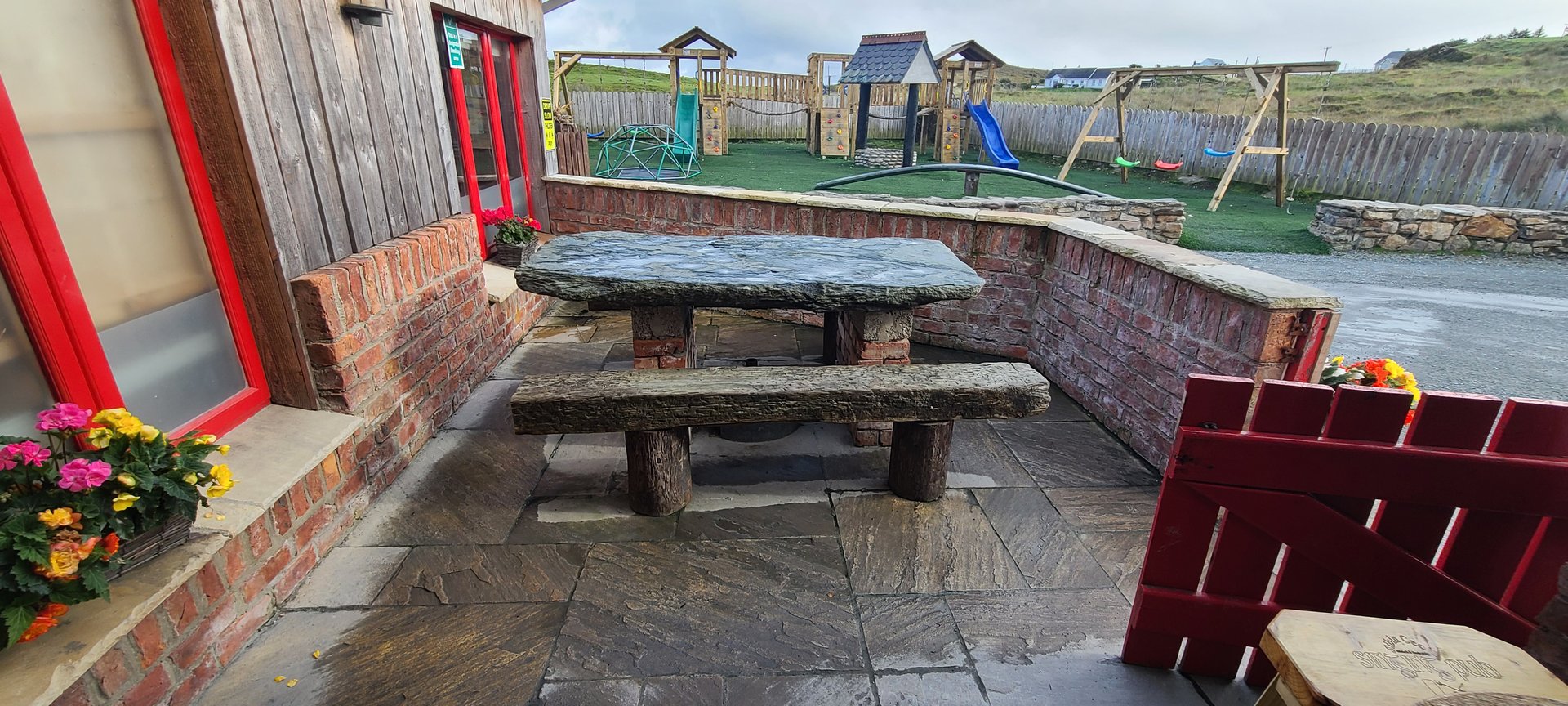
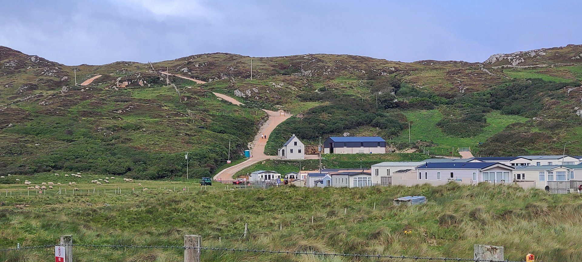
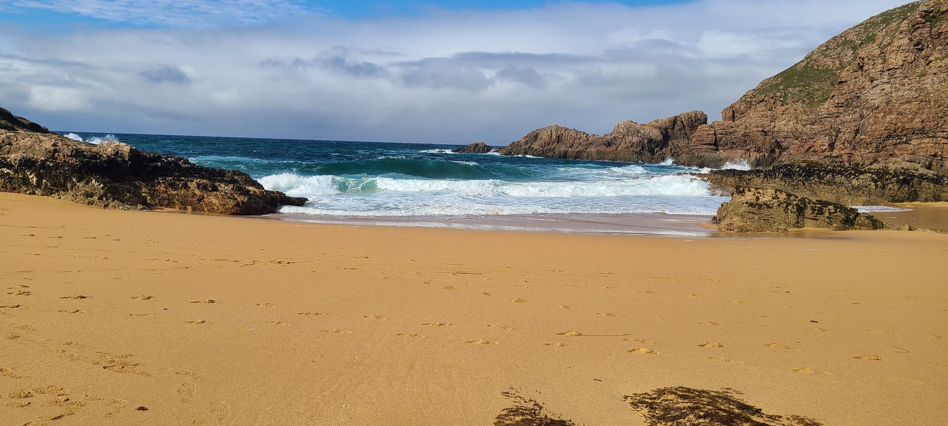
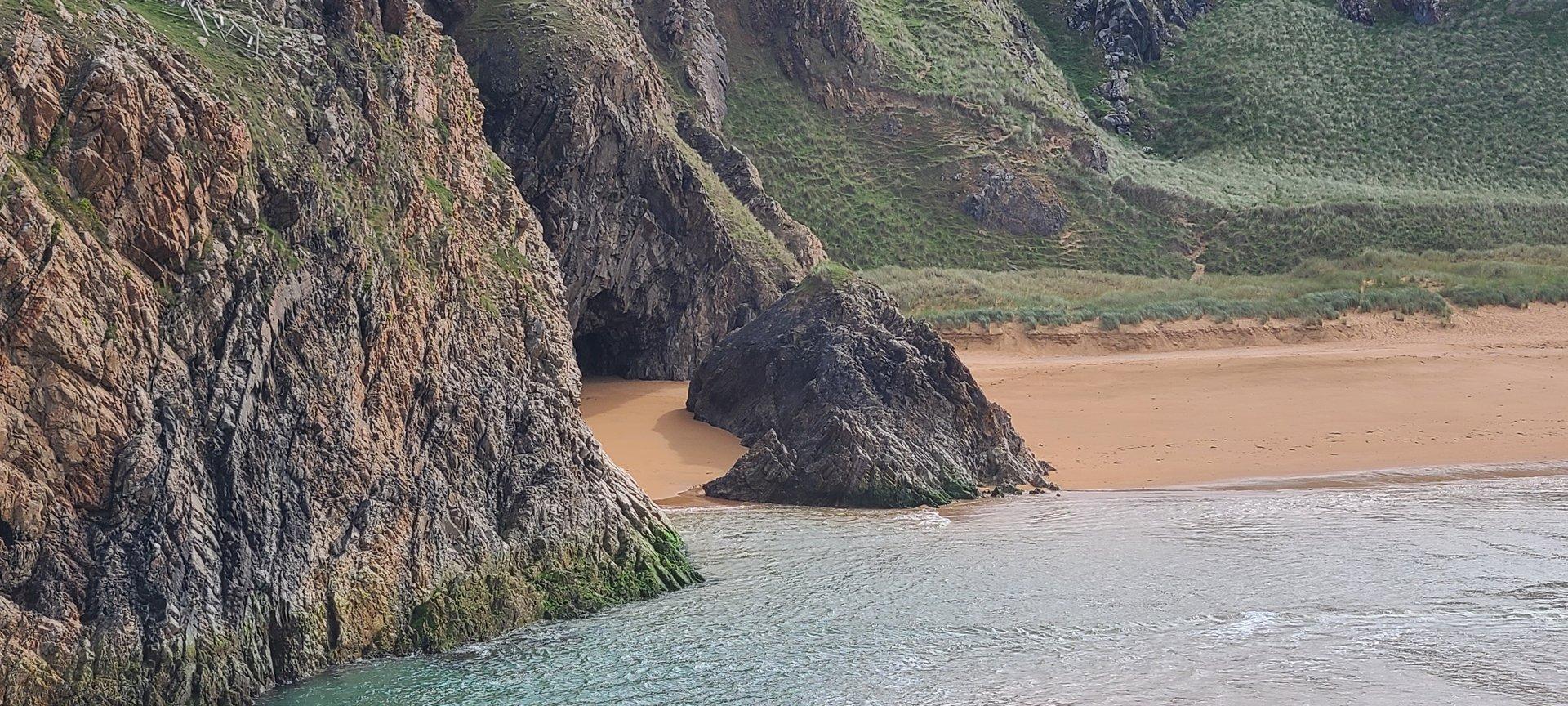
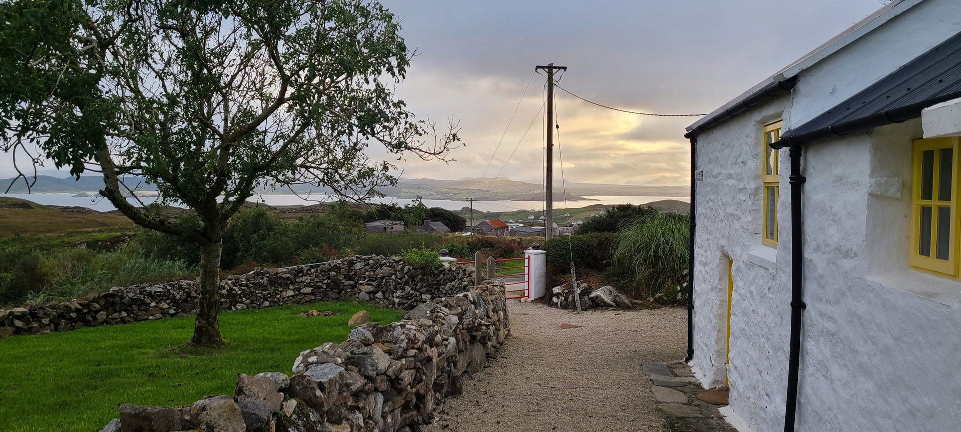
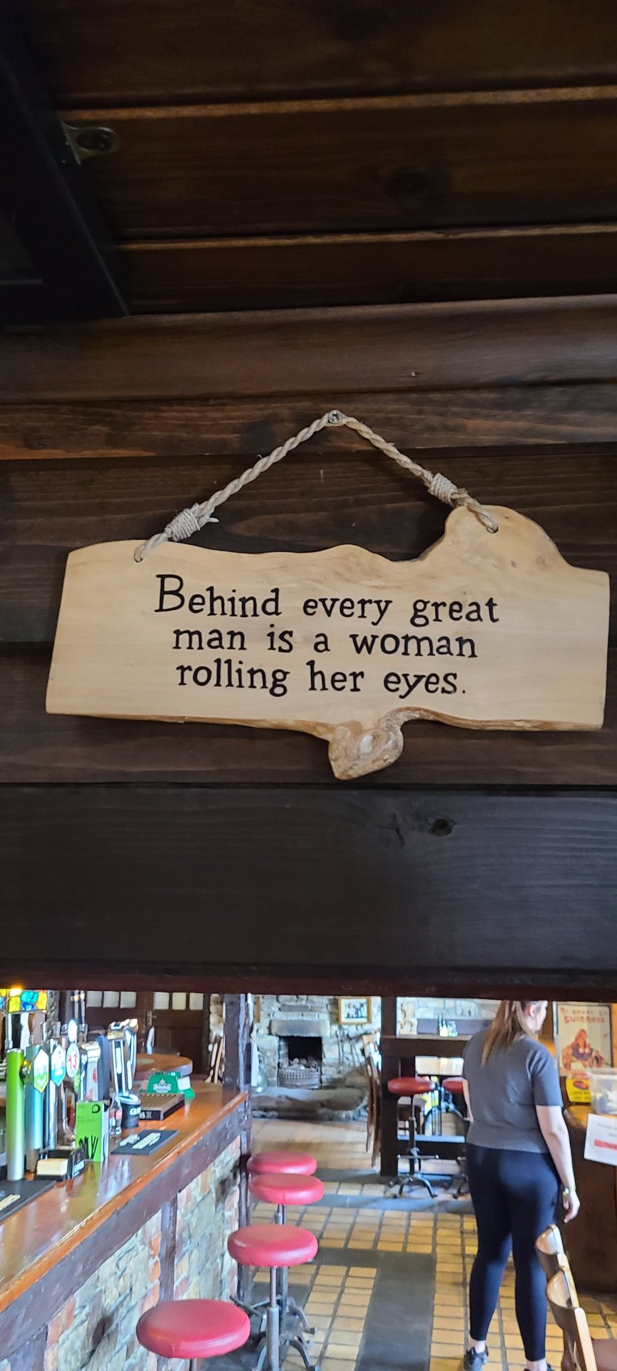
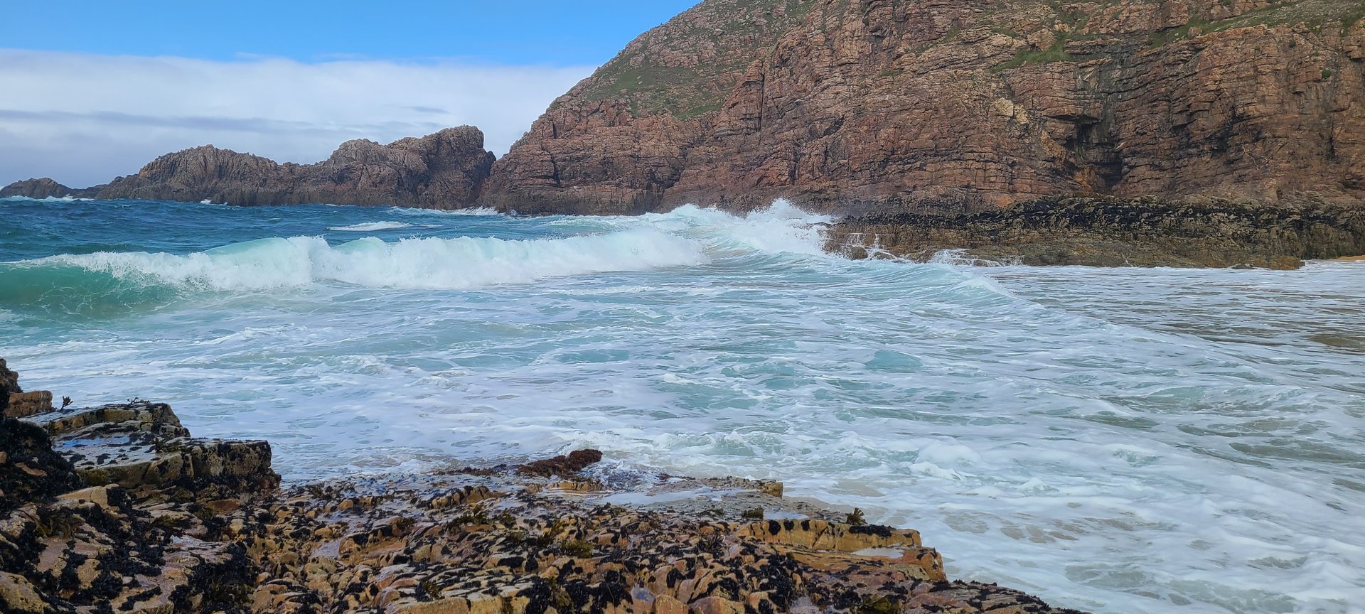
Refresh page to see different photos
Day 6
Day 6 journey of 240 km (149 miles) through Carrickart, County Donegal, Glen, County Donegal, Termon, County Donegal and other locations. The route featured significant climbing with 2278 meters of elevation gain, traversing mountainous terrain with 4 photos.
Thursday, September 15, 2022
Carrickart, County Donegal
→
Glen, County Donegal
→
Termon, County Donegal
→
Loughkeel, County Donegal
→
Kilmacrenan, County Donegal
→
Kilmacrennan, County Donegal
→
Carnamogagh Lower, County Donegal
→
Magheraboy, County Donegal
→
Dooballagh, County Donegal
→
Stranorlar, County Donegal
→
Dooish, County Donegal
→
Donegal, County Donegal
→
Laghy, County Donegal
→
Ballintra, County Donegal
→
Cliffony North, County Sligo
→
Cliffony South, County Sligo
→
Lissadill North, County Sligo
→
Carney, County Sligo
→
Davis's Yeats Tavern
→
Drumcliff West, County Sligo
→
Sligo North, County Sligo
→
Kilmacowen, County Sligo
→
Ballysadare East, County Sligo
→
Annagh, County Sligo
→
Temple, County Sligo
→
Streamstown, County Sligo
→
Leitrim, County Sligo
→
Tobercurry, County Sligo
→
Achonry East, County Sligo
→
Sonnagh, County Mayo
→
Bellavary, County Mayo
→
Knockaphunta, County Mayo
→
Castlecourt Hotel
Day Statistics 240km • 207 photos
Distance
240.4 km
Duration
5.4 hrs
Elevation Gain
2277 m
Photos
4
🗺️ Route Map
📸 Photos
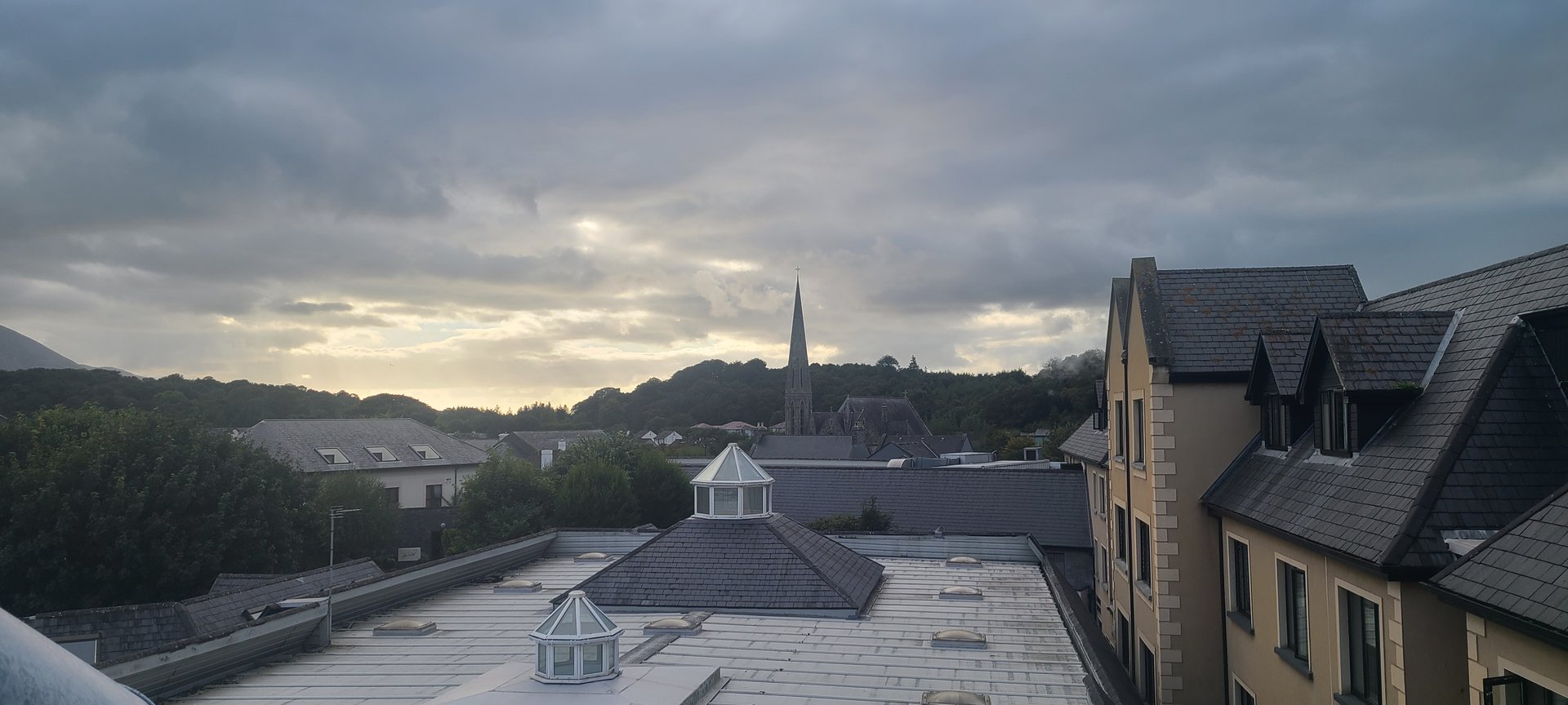
Day 7
Day 7 journey of 94 km (59 miles) through Corraun Achill, County Mayo, Doogea, County Mayo, Achill, County Mayo and other locations. The journey included substantial elevation changes with 1487 meters of ascent through rolling hills and coastal headlands.
Friday, September 16, 2022
Corraun Achill, County Mayo
→
Doogea, County Mayo
→
Achill, County Mayo
→
Slievemore, County Mayo
→
Newport West, County Mayo
→
Newport East, County Mayo
→
Derryloughan, County Mayo
→
Kilmeena, County Mayo
→
Castlecourt Hotel
Day Statistics 94km • 207 photos
Distance
94.3 km
Duration
4.3 hrs
Elevation Gain
1487 m
🗺️ Route Map
Day 8
Day 8 journey of 164 km (102 miles) through Ballinderry, County Galway, Kilmoylan, County Galway, Belleville, County Galway and other locations. The route featured significant climbing with 1932 meters of elevation gain, traversing mountainous terrain. 8 photos captured along the route.
Saturday, September 17, 2022
Ballinderry, County Galway
→
Kilmoylan, County Galway
→
Belleville, County Galway
→
Greethill, County Galway
→
Stradbally, County Galway
→
Castletaylor, County Galway
→
Ardrahan, County Galway
→
Gort, County Galway
→
Ardamullivan, County Galway
→
Caher, County Galway
→
Kiltannon, County Galway
→
Kiltannon, County Clare
→
Tulla, County Clare
→
Ballynahinch, County Clare
→
Boherglass, County Clare
→
Caherhurley, County Clare
→
Ogonnelloe, County Clare
→
Killaloe, County Clare
→
Derrycastle, County Tipperary
→
Castletown, County Tipperary
→
Larkins
→
Newtown, County Tipperary
→
Monsea, County Tipperary
→
Ballyartella, County Tipperary
→
Knigh, County Tipperary
Day Statistics 164km • 207 photos
Distance
163.9 km
Duration
6.5 hrs
Elevation Gain
1931 m
Photos
8
🗺️ Route Map
📸 Photos
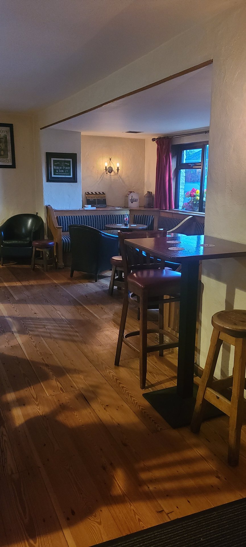
Day 9
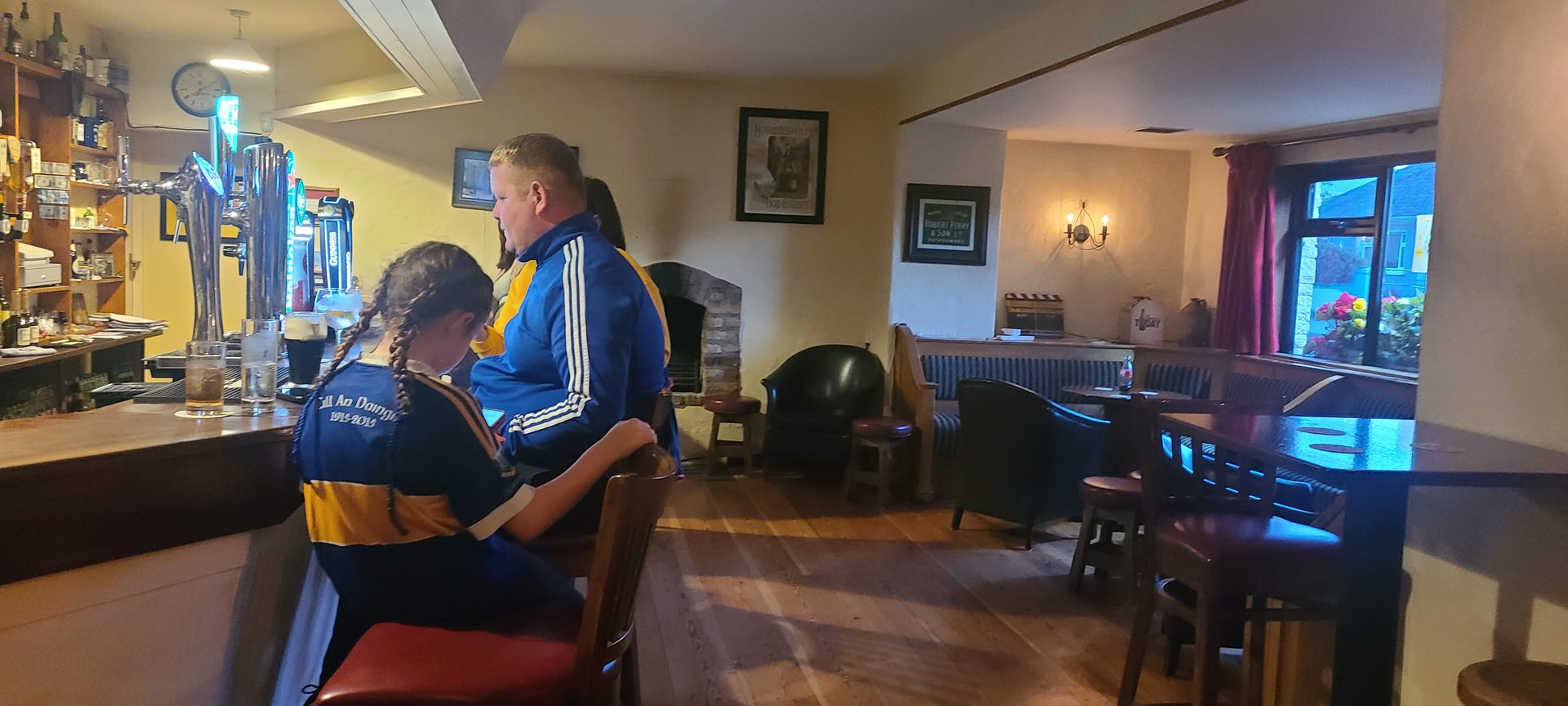
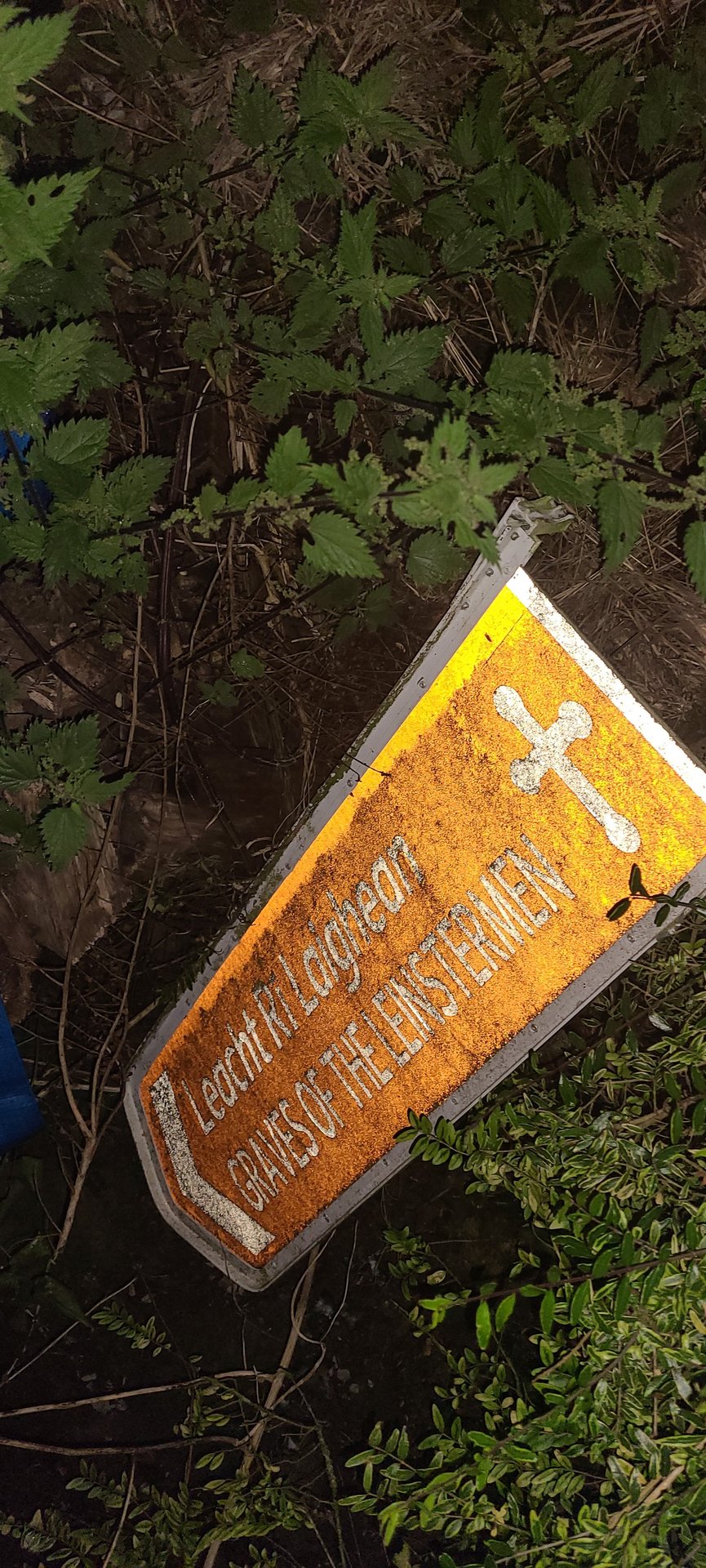
Day 9 journey of 75 km (46 miles) through Derrycastle, County Tipperary, Castletown, County Tipperary, Ballina, County Tipperary and other locations. The journey included substantial elevation changes with 1419 meters of ascent through rolling hills and coastal headlands. 6 photos captured along the route.
Sunday, September 18, 2022
Derrycastle, County Tipperary
→
Castletown, County Tipperary
→
Ballina, County Tipperary
→
Killaloe, County Clare
→
The Wooden Spoon Cafe
→
Greenhall, County Tipperary
→
Carrigatogher, County Tipperary
→
Solsborough, County Tipperary
→
Carrick, County Tipperary
→
Dromineer, County Tipperary
→
Monsea, County Tipperary
→
Ballyartella, County Tipperary
→
Newtown, County Tipperary
→
Youghalarra, County Tipperary
Day Statistics 75km • 207 photos
Distance
74.7 km
Duration
5.8 hrs
Elevation Gain
1418 m
Photos
6
🗺️ Route Map
📸 Photos
Day 10
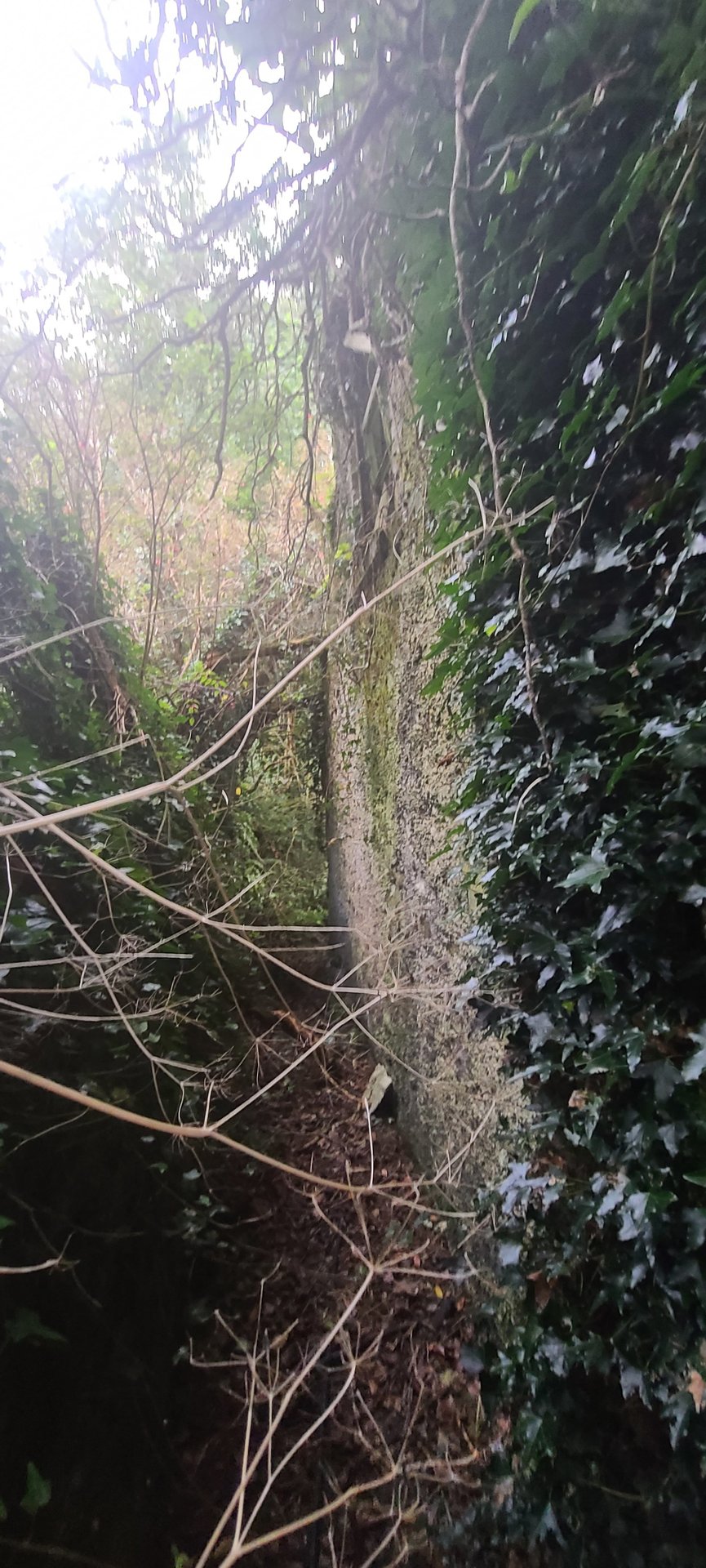
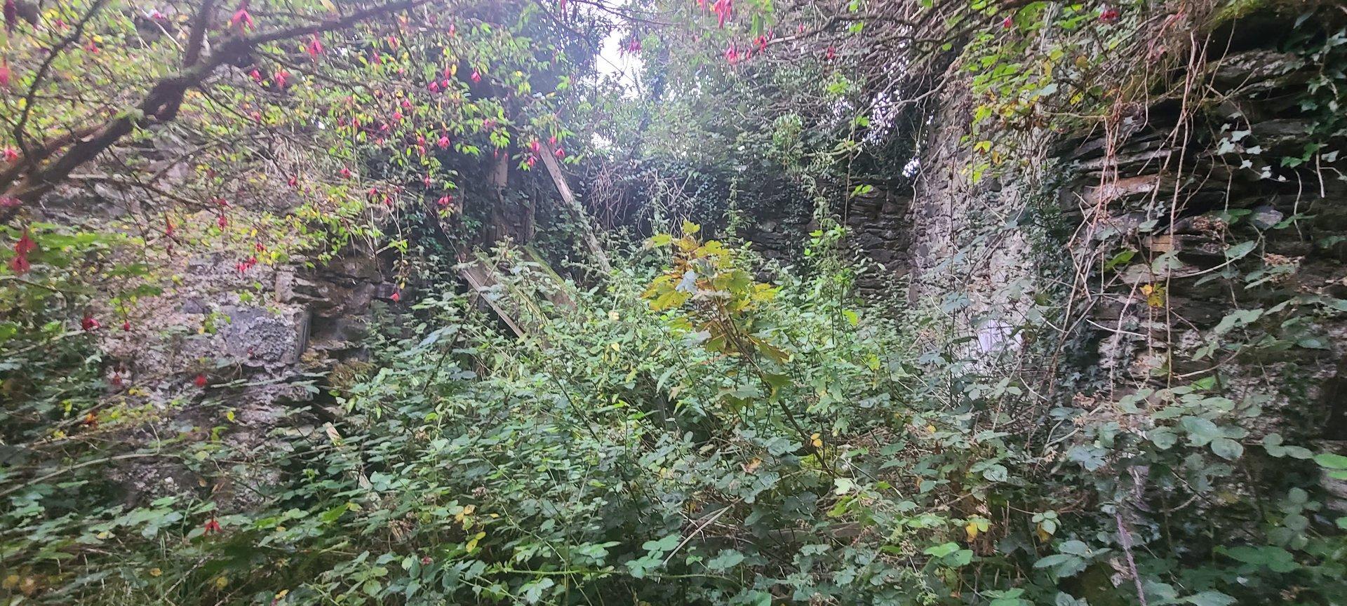
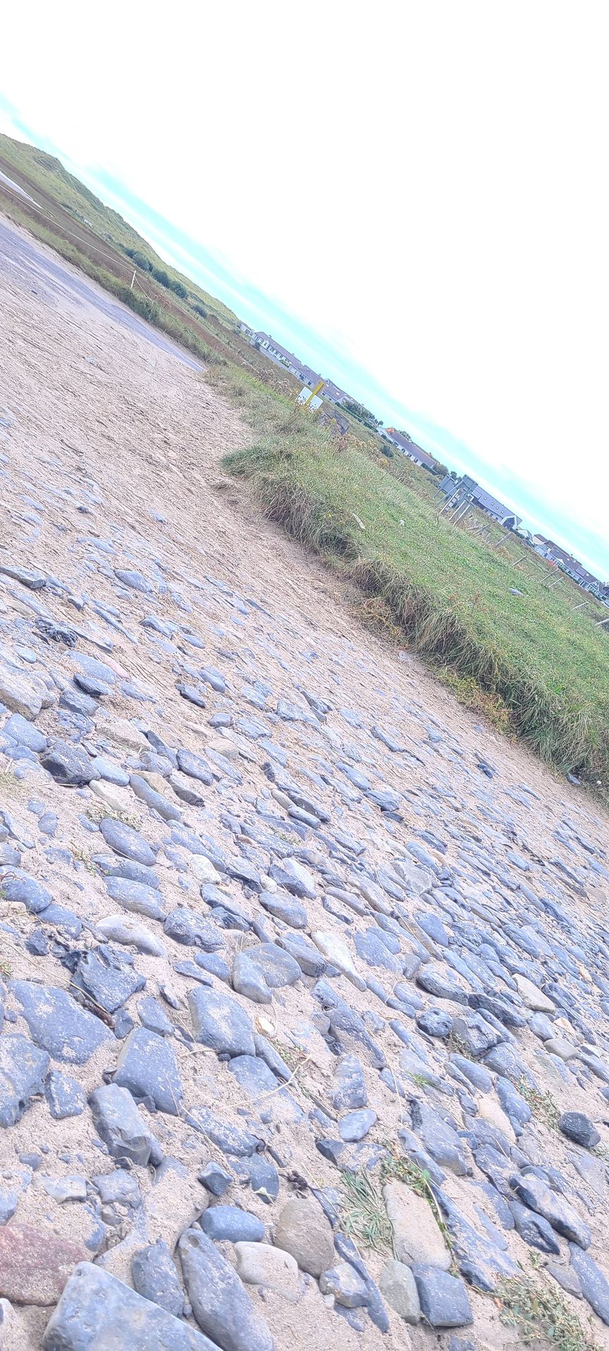
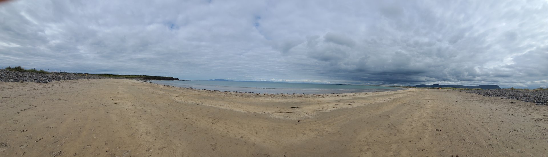
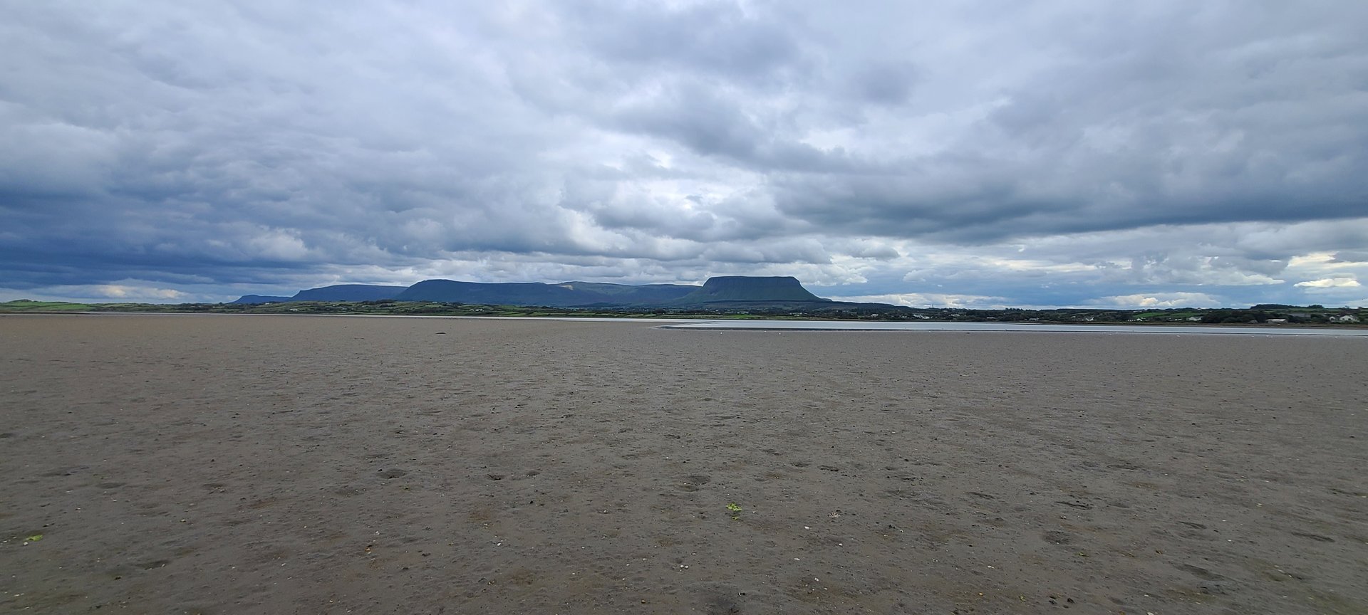
Day 10 journey of 379 km (235 miles) through Derrycastle, County Tipperary, Castletown, County Tipperary, Portroe, County Tipperary and other locations. The route featured significant climbing with 3720 meters of elevation gain, traversing mountainous terrain. 18 photos captured along the route.
Monday, September 19, 2022
Derrycastle, County Tipperary
→
Castletown, County Tipperary
→
Portroe, County Tipperary
→
Youghalarra, County Tipperary
→
Coolaholloga, County Tipperary
→
Ardcrony, County Tipperary
→
Ballylusky, County Tipperary
→
Borrisokane, County Tipperary
→
Uskane, County Tipperary
→
Lorrha East, County Tipperary
→
Graigue, County Tipperary
→
Riverstown, County Tipperary
→
Mounterin, County Offaly
→
Cloghan, County Offaly
→
Ferbane, County Offaly
→
Doon, County Offaly
→
Doon, County Westmeath
→
Tubbrit, County Westmeath
→
Garrycastle, County Westmeath
→
Ogulla, County Roscommon
→
Rossmore, County Roscommon
→
Lisgarve, County Roscommon
→
Croghan, County Roscommon
→
Rushfield, County Roscommon
→
Kilbryan, County Roscommon
→
Aghanagh, County Sligo
→
Lakeview, County Sligo
→
Drumfin, County Sligo
→
Collooney, County Sligo
→
Kilmacowen, County Sligo
→
Magheraboy, County Sligo
→
Drumcliff East, County Sligo
→
Drumcliff West, County Sligo
→
Rossinver West, County Sligo
→
Lissadill North, County Sligo
→
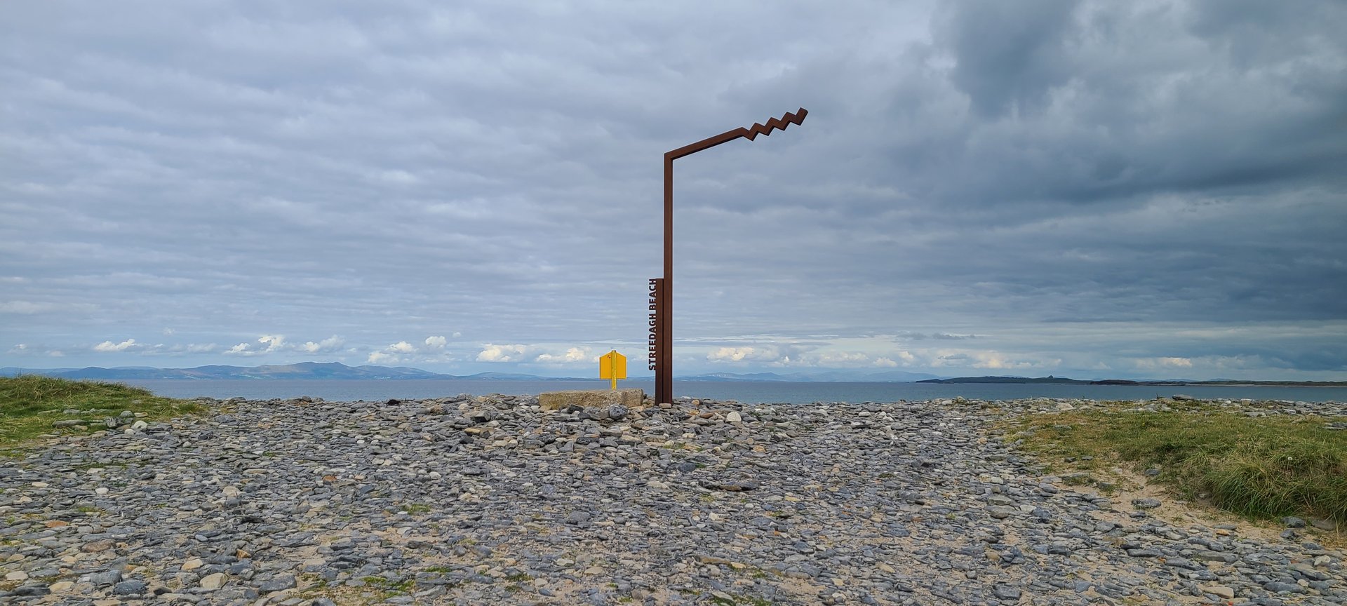
Streedagh, County Sligo
→
Cliffony South, County Sligo
→
Cliffony North, County Sligo
→
Tullaghan, County Leitrim
→
Carrickboy, County Donegal
→
Cavangarden, County Donegal
→
Ballintra, County Donegal
→
Laghy, County Donegal
→
Donegal, County Donegal
→
Turris Hill, County Donegal
→
Inver, County Donegal
→
Bonnyglen, County Donegal
→
Binbane, County Donegal
→
Ardara, County Donegal
→
Glenties, County Donegal
→
Maas, County Donegal
→
Boyoughter, County Donegal
→
Cloghbolie, County Donegal
→
Dunglow, County Donegal
→
Annagary, County Donegal
→
Magheraclogher, County Donegal
Day Statistics 379km • 207 photos
Distance
378.8 km
Duration
11.4 hrs
Elevation Gain
3720 m
Photos
18
🗺️ Route Map
📸 Photos
Day 11
Day 11 journey of 134 km (83 miles) through Dunglow, County Donegal, Crovehy, County Donegal, Meenacarn, County Donegal and other locations. The route featured significant climbing with 2500 meters of elevation gain, traversing mountainous terrain. 12 photos captured along the route.
Tuesday, September 20, 2022
Dunglow, County Donegal
→
Crovehy, County Donegal
→
Meenacarn, County Donegal
→
Lettermacaward, County Donegal
→
Glenties, County Donegal
→
Maas, County Donegal
→
Dawros, County Donegal
→
Ardara, County Donegal
→
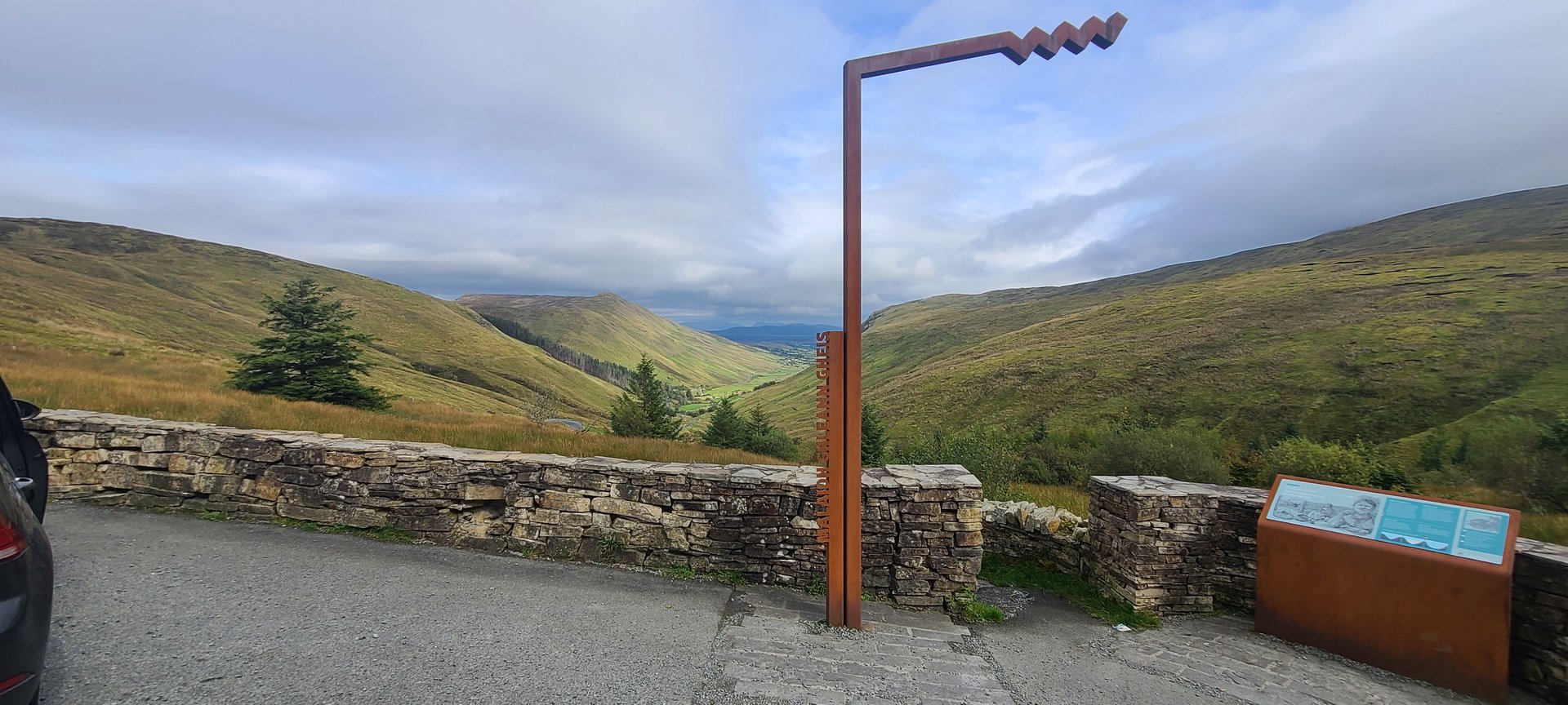
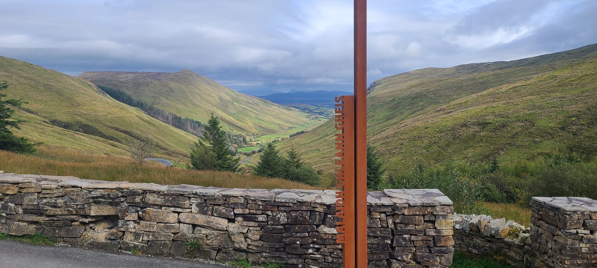
Glengesh, County Donegal
→
Wild Atlantic Way: Glengesh Valley
→
Crowkeeragh, County Donegal
→
Glencolumbkille, County Donegal
→
McCafferty’s Bar and Restaurant
→
Annagary, County Donegal
Day Statistics 134km • 207 photos
Distance
133.8 km
Duration
6.3 hrs
Elevation Gain
2499 m
Photos
12
🗺️ Route Map
📸 Photos
Day 12
Day 12 journey of 186 km (116 miles) through Annagry, County Donegal, Annagary, County Donegal, Magheraclogher, County Donegal and other locations. The route featured significant climbing with 2821 meters of elevation gain, traversing mountainous terrain with 5 photos.
Wednesday, September 21, 2022
Annagry, County Donegal
→
Annagary, County Donegal
→
Magheraclogher, County Donegal
→
Dunlewy, County Donegal
→
Cross Roads, County Donegal
→
Gartan, County Donegal
→
Termon, County Donegal
→
Church Hill, County Donegal
→
Ardachrin, County Donegal
→
Seacor, County Donegal
→
Baile na Finne, County Donegal
→
Glenleheen, County Donegal
→
Glenties, County Donegal
→
Ardara, County Donegal
→
Binbane, County Donegal
→
Bonnyglen, County Donegal
→
Tantallon, County Donegal
→
Donegal, County Donegal
→
Bank of Ireland
→
Inver, County Donegal
→
Maas, County Donegal
→
Lettermacaward, County Donegal
→
Meenacarn, County Donegal
→
Crovehy, County Donegal
→
Dunglow, County Donegal
Day Statistics 186km • 207 photos
Distance
186.5 km
Duration
6.8 hrs
Elevation Gain
2821 m
Photos
5
🗺️ Route Map
📸 Photos
Day 13
Day 13 journey of 98 km (61 miles) through Annagary, County Donegal, Dunglow, County Donegal, Crovehy, County Donegal and other locations. The journey included substantial elevation changes with 1392 meters of ascent through rolling hills and coastal headlands.
Thursday, September 22, 2022
Annagary, County Donegal
→
Dunglow, County Donegal
→
Crovehy, County Donegal
→
Meenacarn, County Donegal
→
Lettermacaward, County Donegal
→
Glenties, County Donegal
→
Maas, County Donegal
→
Dawros, County Donegal
→
Ardara, County Donegal
→
Mulmosog, County Donegal
→
Bonnyglen, County Donegal
→
Inver, County Donegal
→
Turris Hill, County Donegal
→
Donegal, County Donegal
→
Tullynaught, County Donegal
→
Laghy, County Donegal
→
Ballintra, County Donegal
Day Statistics 98km • 207 photos
Distance
98.3 km
Duration
3.0 hrs
Elevation Gain
1392 m